The best road cycling routes around Givors
4.4
(411)
7,871
riders
31
rides
Road cycling routes around Givors are situated at the confluence of the Rhône and Gier rivers, offering diverse terrain for cyclists. The area features a mix of cycleways, quiet roads, and paved sections, with routes extending into the nearby Pilat Regional Natural Park. This region is characterized by river valleys, rolling hills, and agricultural landscapes, providing varied gradients and scenic views.
Best road cycling routes around Givors
- The most popular road cycling route is Ascent of the Croix Régis -…
Last updated: October 10, 2026
4.6
(17)
131
riders
50.8km
02:26
680m
680m
Moderate road ride. Good fitness required. Some segments of this route may be unpaved and difficult to ride.
3.0
(1)
4
riders
29.7km
01:22
320m
320m
Moderate road ride. Good fitness required. Mostly well-paved surfaces and easy to ride.

4.0
(1)
42
riders
71.2km
03:40
1,190m
1,190m
Hard road ride. Very good fitness required. Mostly well-paved surfaces and easy to ride.
4.8
(5)
102
riders
99.9km
05:04
1,650m
1,650m
Hard road ride. Very good fitness required. Mostly well-paved surfaces and easy to ride.
4.3
(6)
31
riders
50.7km
02:35
830m
830m
Moderate road ride. Good fitness required. Mostly well-paved surfaces and easy to ride.
Get access to more routes and recommendations from other explorers.
Already have an account?
Our route recommendations are based on thousands of hikes, rides, and runs completed by other people on komoot.
Start today with a free account
Your next adventure awaits.

Tips from the Community

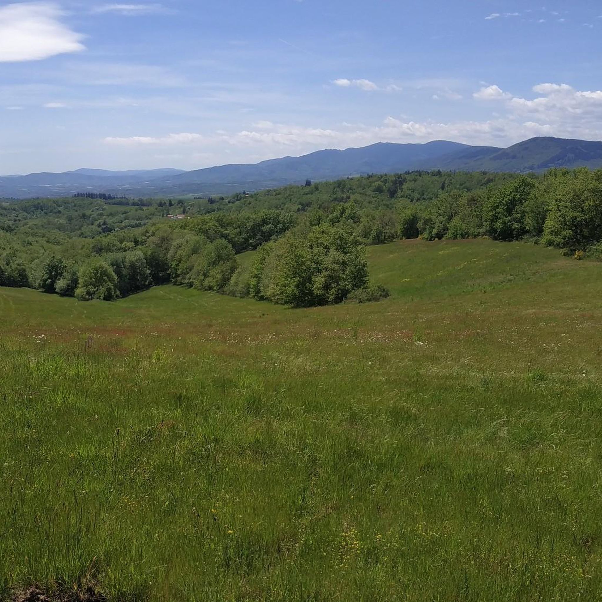
The Col de Pavezin is certainly not the highest, but it is no less mythical. The inventor of the derailleur, Paul de Vivié, who settled here, made it an unmissable rendezvous. The pass is located between the Rhône valley and the Gier valley, and opens up a grandiose panorama of the Alps and the Rhône furrow.
0
0

Opening hours are available on the town hall website. Check it out!
0
0


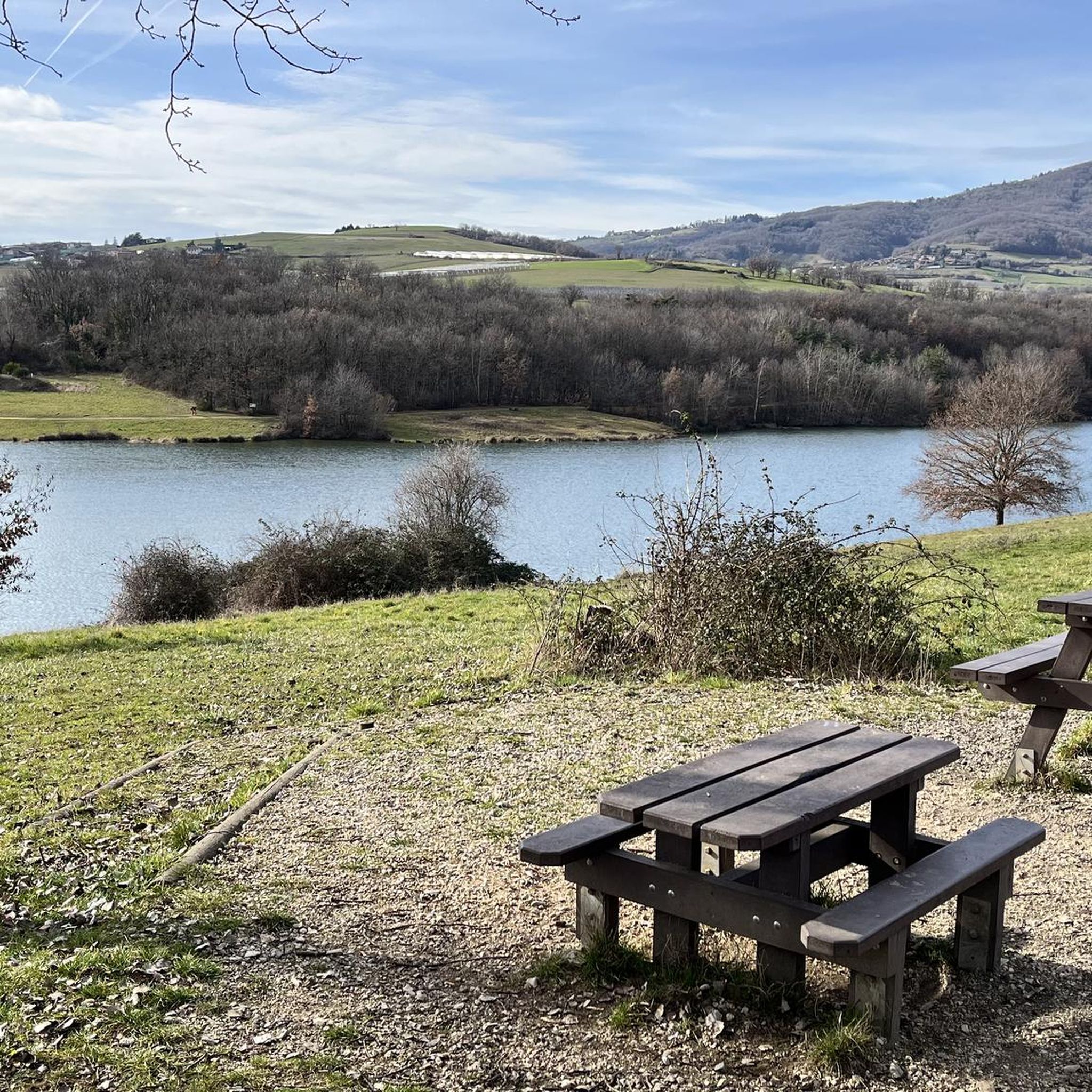
THE crossroads of all the walks in the area, with the little refreshing break at the inn, it's perfect (change of owner in progress, for the moment it is closed)
0
0


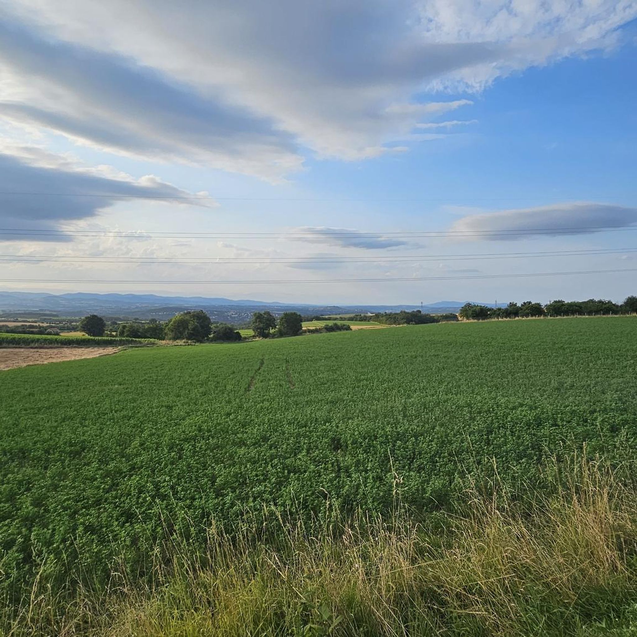
magnificent view of the valley and its orchards
0
0


The Saint-Vincent chapel is the oldest Romanesque chapel in the Rhône department. From its promontory, the panoramic view of the Lyon region, the Alps, and Mont du Pilat is spectacular.
0
0
Frequently Asked Questions
How many road cycling routes are available around Givors?
There are over 35 road cycling routes around Givors, offering a wide range of options for different skill levels and preferences. These routes are highly rated by the komoot community, with an average score of 4.2 stars.
What is the best time of year for road cycling in Givors?
July and August are the most popular months for road cycling in Givors due to favorable weather. However, the region offers enjoyable conditions throughout much of the year, with varied landscapes to explore.
What kind of terrain can I expect on road cycling routes around Givors?
Road cycling routes around Givors feature a diverse mix of terrain, including dedicated cycleways, quiet roads, and paved sections. You'll encounter river valleys, rolling hills, and agricultural landscapes, providing varied gradients from gentle riverside paths to challenging climbs, especially towards the Pilat Regional Natural Park.
Are there road cycling routes suitable for beginners in Givors?
Yes, Givors offers several easy road cycling routes perfect for beginners. For example, the Barlet Island loop from Givors is an easy 11.4-mile (18.3 km) trail that leads through pleasant riverine landscapes.
Are there challenging road cycling routes for experienced cyclists near Givors?
Absolutely. For experienced cyclists seeking a challenge, Givors provides several difficult routes. An example is the Saint Vincent Chapel – View of Rontalon loop from Givors Canal, a 43.6-mile (70.1 km) route with over 1,100 meters of ascent, offering panoramic views from the Saint-Vincent Chapel.
Can I find long-distance road cycling routes from Givors?
Yes, Givors is a strategic point for long-distance cycling. It's an important stop on the ViaRhôna, a dedicated long-distance cycling route tracing the Rhône river. From Givors, you can embark on extensive rides, with options extending over 200 km towards destinations like Mont Ventoux, Buis, or Avignon.
Are there circular road cycling routes available in Givors?
Many road cycling routes around Givors are designed as loops, allowing you to start and end in the same location. Examples include the Ascent of the Croix Régis - loop in the Pilat regional natural park and the Barlet Island loop from Givors.
What are some scenic viewpoints or landmarks I can see along road cycling routes in Givors?
Many routes offer picturesque views of the Rhône River and surrounding valleys. Notable landmarks include the impressive Garon siphon bridge — Roman aqueduct of the Gier, which blends into a beautiful natural setting. The Saint Vincent Chapel also provides spectacular panoramic views of the Lyon region, the Alps, and Mont du Pilat.
Are there family-friendly road cycling options in Givors?
While many road cycling routes are on quiet roads, for a truly family-friendly experience, consider routes with dedicated cycleways or very low traffic. The Parc Naturel de la Rama within Givors offers walking trails and green spaces, and some easier, flatter sections along the Rhône might be suitable for families.
What is the ViaRhôna section near Givors like for road cycling?
The ViaRhôna near Givors offers a dedicated cycling experience along the Rhône river. This section allows cyclists to explore the historic significance of river navigation and enjoy varied landscapes. While some parts closer to Lyon can be busy, the route from Givors onwards provides diverse and generally pleasant scenery.
What is road cycling like in the Pilat Regional Natural Park near Givors?
The Pilat Regional Natural Park, accessible from Givors, offers abundant cycling opportunities amidst diverse landscapes, including rolling hills and dense forests. Routes like the Ascent of the Croix Régis provide significant elevation gain and immerse you in the park's natural beauty, requiring good fitness.
Where can I find parking for cyclists in Givors?
Givors, being a well-developed area for outdoor activities, typically offers various parking options within the town center or near popular starting points for routes. It's advisable to check local signage for specific cyclist-friendly parking areas or public car parks.
Is public transport in Givors bike-friendly?
Givors is well-connected to Lyon by public transport. For specific information on carrying bikes on public transport (trains or buses), it's best to consult the local transport authority's website or inquire directly, as policies can vary.
Are there places to eat or stay for cyclists in Givors?
Givors, as a town at the confluence of two rivers and a stop on the ViaRhôna, offers various amenities for visitors. You can find cafes, restaurants, and accommodation options within the town center to refuel and rest after your rides.
Most popular attractions around Givors

Get inspired with the komoot mobile app


Explore more
Browse the best Road cycling routes in other regions.
