The best walks and hikes around Killem
4.3
(1298)
7,558
hikers
227
hikes
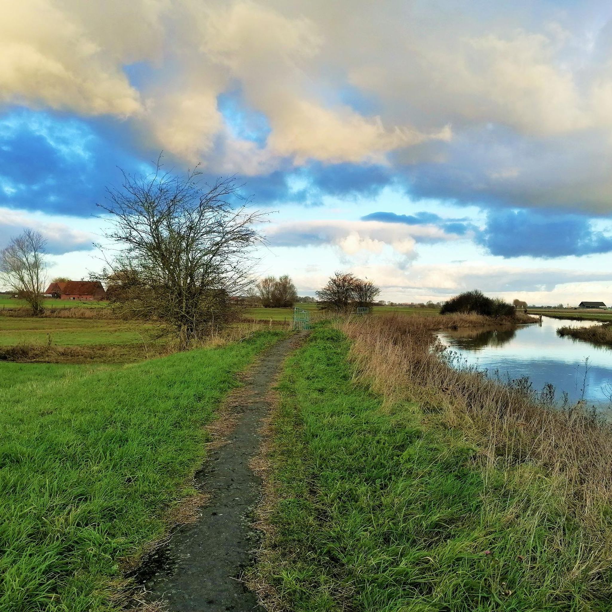
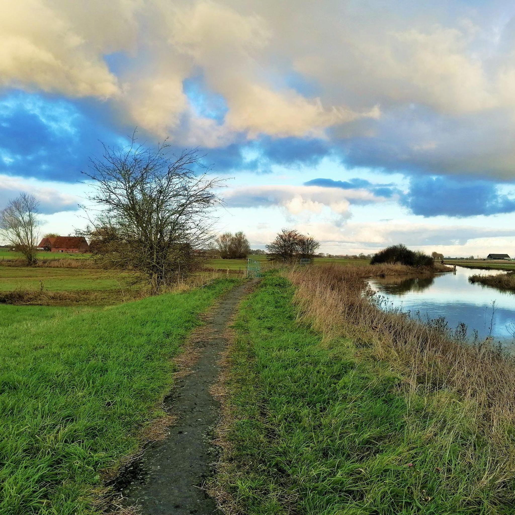
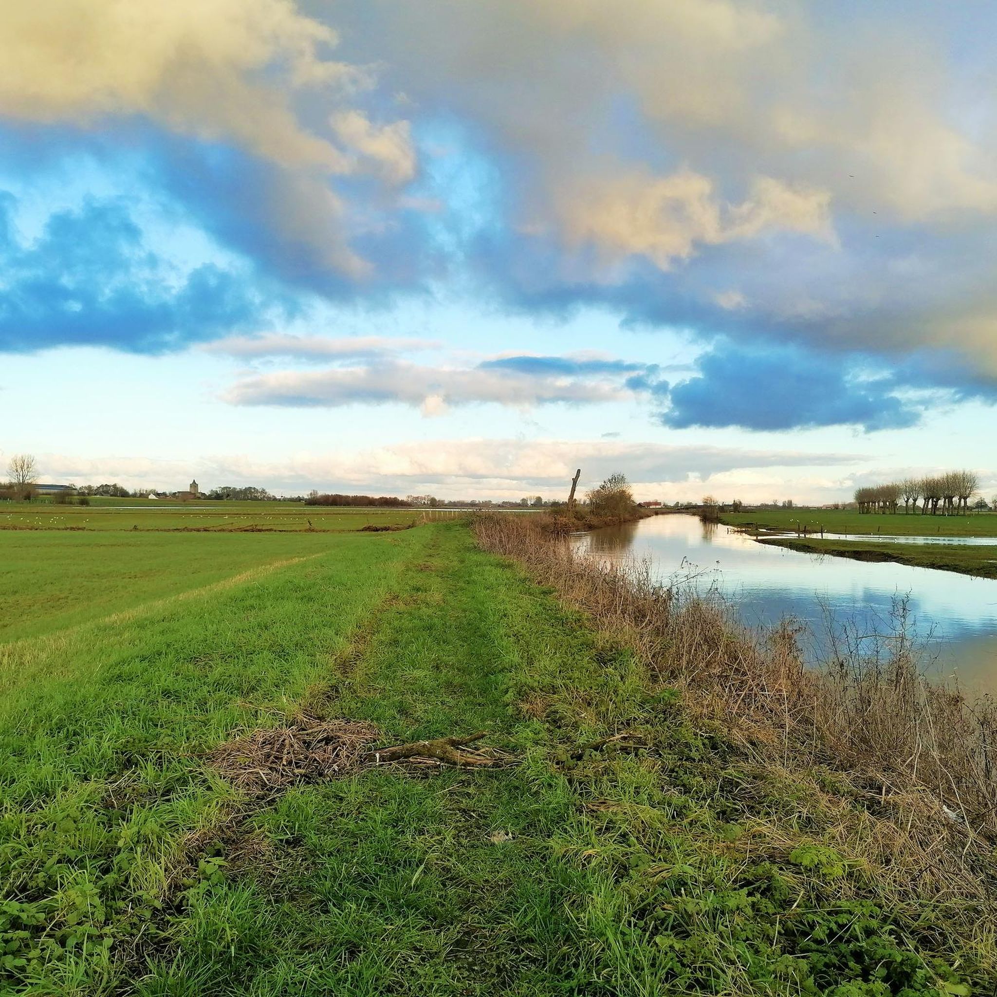
Hiking around Killem offers routes through the flat, agricultural landscapes of the Nord department in France, near the Belgian border. The region is characterized by open fields, small villages, and the presence of the Yser river, providing gentle riverside paths. Elevation changes are minimal, making the terrain accessible for various hiking abilities.
Best hiking trails around Killem
- The most popular hiking route is The Yser at Roesbrugge – View of Roesbrugge Village loop from Oost-Cappel, a 4.4 miles (7.0…
Last updated: October 5, 2026
4.7
(137)
661
hikers
Easy hike. Great for any fitness level. Easily-accessible paths. Suitable for all skill levels.
4.7
(3)
26
hikers
Moderate hike. Good fitness required. Easily-accessible paths. Suitable for all skill levels.

4.0
(2)
17
hikers
Hard hike. Very good fitness required. Easily-accessible paths. Suitable for all skill levels.
5.0
(1)
18
hikers
Moderate hike. Good fitness required. Easily-accessible paths. Suitable for all skill levels.
4.7
(3)
14
hikers
7.24km
01:51
20m
20m
Easy hike. Great for any fitness level. Easily-accessible paths. Suitable for all skill levels.
Get access to more routes and recommendations from other explorers.
Already have an account?
Our route recommendations are based on thousands of hikes, rides, and runs completed by other people on komoot.
Start today with a free account
Your next adventure awaits.

Tips from the Community

From Belgian WWI rest zone to Trappist pickup point Today, cyclists and beer lovers come here to pick up their reserved crate of Westvleteren. More than a hundred years ago, this was a very different place. At the end of 1917, the area around St. Sixtus Abbey was set up as a Belgian rest zone. Soldiers could catch their breath here after their deployment at the front. Initially, the monks feared that the Belgian troops would cause nuisance, but that concern proved unfounded. The soldiers behaved exemplarily and helped the abbey where needed. A British officer described the place as an “oasis of rest and peace in the middle of the war desert.” Today, that peace still reigns here, only with a very different mission: no soldiers resting, but cyclists picking up their crate of Blond, 8 or 12. 🍺 Tip: picking up your Westvleteren here? Then take a look at the information board. You are standing in a place where war history and Trappist beer come together beautifully today.
3
0
The Sint-Jans-Onthoofdingkerk in Stavele is also known as the 'Leaning Tower of Pisa' of the Westhoek! If you look closely while cycling through the Yser Valley, you'll notice something about the skyline of Stavele. No, it's not due to the Westvleteren trappist beer or the Hommel beer from the Hop Festivals: the church tower of the Sint-Jans Onthoofdingkerk is really a little bit crooked! This robust church tower has been suffering from stability problems for decades and at some point decided to subtly lean towards the countryside. Although engineers are keeping a close eye on things and the tower has fortunately been declared stable, we secretly have our own, West Flemish version of the Tower of Pisa here in the Westhoek.
5
0
Dozinghem Military Cemetery – the largest of the medical trilogy As the closing piece of the medical trilogy surrounding the field hospitals of 1917, Dozinghem Military Cemetery is an impressive stop. During the Third Battle of Ypres, the 4th, 47th, and 61st Casualty Clearing Stations were located here. Soldiers who did not survive their injuries found their final resting place here. The name is also a typical example of British soldiers' humour: Dozinghem refers to 'to doze' and winks at the rest and anaesthesia in the hospital. With 3,312 graves, this is the largest of the three medical cemeteries. Besides the Cross of Sacrifice and the Stone of Remembrance, 73 victims from the Second World War, 65 German soldiers, and three members of the Chinese Labour Corps are also buried here. Hidden in the greenery near De Lovie, this is a particularly quiet place with an impressive story.
6
0
St. Sixtus Abbey & In de Vrede: Trappist beer with a touch of mystery 🍻 A bike tour through the Westhoek is not complete without a stop at the St. Sixtus Abbey of Westvleteren. The brewery itself remains closed to visitors, but the abbey walls and the information center Het Claustrum offer a beautiful glimpse into the lives of the monks and the rich history of this special place. Right next to the abbey, you'll find In de Vrede, the meeting center where you can enjoy a Westvleteren Blond, 8, or 12, accompanied by a snack on the terrace. In the abbey shop, depending on availability, you can also purchase Trappist beer and official glasses. A delightful stop where tranquility, history, and an authentic West Flemish beer moment come together!
3
0
Folk nostalgia on the Yser 🍻 Anyone cycling through Stavele can hardly ignore the authentic facade of ’t Hof van Commerce. This 180-year-old inn breathes the atmosphere of the Westhoek, with old signs, horse stables, and an interior full of antiques and stories. The former stables have been given a new life as atmospheric themed rooms, the terrace is located on the spot of the former pigsty, and even the toilet is in an old rabbit hutch. 😄 On the terrace, near the historic Stavele bridge and the Yser, you can enjoy a Picon, regional beer, or a hearty Breughel buffet. A wonderful place to put your bike aside for a moment and experience the authentic Westhoek at its best!
5
0

There was already a chapel on this site around 1488. In 1805, construction of a nave was started, which was consecrated in 1806. The parish of Roesbrugge split from that of Haringe. Construction continued from 1826 to 1837. The tower was designed by the Ypres architect Lernaud. During the Second World War, the church was damaged and then restored. https://nl.wikipedia.org/wiki/Sint-Martinuskerk_(Roesbrugge)
2
0

Here you will be welcomed with great enthusiasm by Sam. Please note that it is only open on Saturdays and Sundays. In Roesbrugge, a 'hop shoot' from France, the artisanal brewery Werbrouck is located. Their beer is brewed according to ancient brewing methods with their own recipes. The brewery was founded in early 2018 by brewer Conrad, son Sam and his wife Lien. The beers are brewed with 100% Poperinge hops. In their brasserie De Gouden Arend you can taste their delicious beers and recently also several of their Poperinge gins.
13
0
Within a stone's throw of each other, in the region around Poperinge, there are two churches dedicated to Saint Martin, namely the church in Haringe and the church in Roesbrugge. However, the history of both churches is far apart. The church in Roesbrugge is a lot younger than the church in Haringe. No remains of the first 15th century mentions of the chapel have been preserved. The hall church, built in the 17th-18th century, had to replace the chapel. The church suffered serious damage once in its existence, during the Second World War. Several memorial plaques hang on the left outer wall of the church. A number also commemorate the First World War. During the First World War, the church tower served as a receiving and transmitting post for communication via telegraph and telephone.
13
0
Frequently Asked Questions
How many hiking trails are available around Killem?
There are over 220 hiking routes available around Killem, offering a variety of options for different skill levels and preferences.
What kind of terrain can I expect on hikes around Killem?
Hikes around Killem primarily feature flat, agricultural landscapes in the Nord department of France, close to the Belgian border. You'll find open fields, small villages, and gentle paths along the Yser river. Elevation changes are minimal, making the terrain accessible for most hikers.
What do other hikers say about the trails in Killem?
The hiking routes in Killem are highly rated by the komoot community, with an average score of 4.4 stars from over 1,100 reviews. Hikers often praise the tranquil rural scenery, the flat and accessible paths, and the peaceful experience of walking through the agricultural land and along the Yser river.
Are there easy or beginner-friendly hiking options in Killem?
Yes, Killem offers many easy and beginner-friendly routes. Over 120 of the available routes are classified as easy, such as The Yser at Roesbrugge – View of Roesbrugge Village loop from Oost-Cappel, which follows the Yser river and is 4.4 miles (7.0 km) long.
Are there any longer or more challenging hikes available in the area?
While the region is generally flat, there are longer, moderate, and even a few difficult routes for those seeking more challenge. For example, the View of Zwanenmeer – View of Roesbrugge Village loop from Roesbrugge-Haringe is a moderate 12.1 miles (19.5 km) trail. There are 95 moderate and 8 difficult routes in total.
Are there circular hiking routes in Killem?
Yes, many of the hiking routes around Killem are circular loops, allowing you to start and end at the same point. Examples include Bridge over the Yser – Path Across the Fields loop from Oost-Cappel and The Yser at Roesbrugge – View of Roesbrugge Village loop from Oost-Cappel.
What natural features or landmarks can I see while hiking near Killem?
While hiking near Killem, you can explore the Yser river, which is a prominent natural feature. You might also encounter historical sites like Dozinghem Military Cemetery, or admire the Bergues Belfry and Beauvoorde Castle in the wider vicinity.
Are there any lakes or water bodies to explore on hikes?
Yes, the region features several lakes and ponds. You can find highlights such as Bois des Forts Pond, Téteghem Lake, and the View of Zwanenmeer, which is part of a popular hiking loop.
Are the hiking trails around Killem suitable for families?
Given the flat terrain and numerous easy routes, many of the hiking trails around Killem are well-suited for families. The gentle paths along the Yser river and through agricultural fields provide a pleasant and accessible outdoor experience for all ages.
Are dogs allowed on the hiking trails in Killem?
Generally, dogs are welcome on hiking trails in rural areas of France, provided they are kept on a leash and owners clean up after them. It's always advisable to check local signage for any specific restrictions in certain nature reserves or protected areas.
Is parking available near the trailheads in Killem?
While specific parking information for every trailhead is not provided, given the rural nature of Killem and its surrounding villages, you can typically find parking in village centers or designated areas near popular starting points for hikes. It's recommended to check maps or local information for specific trail access points.
What is the best time of year to go hiking in Killem?
The flat, agricultural landscapes of Killem are generally pleasant for hiking throughout much of the year. Spring and autumn offer mild temperatures and beautiful scenery, while summer provides longer daylight hours. Even in winter, the low elevation means trails are often accessible, though conditions can be damp.
Most popular attractions around Killem

Get inspired with the komoot mobile app


Explore more
Browse the best Hikes in other regions.
