The best MTB trails around Cormoranche-Sur-Saône
4.4
(307)
1,405
riders
164
rides
Mountain biking around Cormoranche-Sur-Saône offers diverse landscapes, situated between the Bresse, Beaujolais, and Burgundy regions. The area is characterized by the Saône River valley, with its alluvial woodlands and wet meadows, and rolling hills that transition into the Mâconnais vineyards. Notable features include the iconic Roche de Solutré and Montagne Rémont, providing varied terrain for mountain bike trails. This green setting provides a mix of riverside paths and climbs through agricultural and forested areas.
Best mountain bike trails around Cormoranche-Sur-Saône
…Last updated: August 21, 2026
4.5
(2)
11
riders
43.5km
03:30
670m
670m
Moderate mountain bike ride. Good fitness required. Suitable for all skill levels.
5.0
(1)
15
riders
44.3km
04:16
1,120m
1,120m
Hard mountain bike ride. Very good fitness required. Suitable for all skill levels.

Sign up for free
8
riders
45.1km
04:15
1,080m
1,070m
Hard mountain bike ride. Very good fitness required. Advanced riding skills necessary.
3.0
(2)
5
riders
28.3km
02:26
530m
530m
Moderate mountain bike ride. Good fitness required. Advanced riding skills necessary.
1.0
(1)
4
riders
Moderate mountain bike ride. Good fitness required. Suitable for all skill levels.
Get access to more routes and recommendations from other explorers.
Sign up for free
Already have an account?
Our route recommendations are based on thousands of hikes, rides, and runs completed by other people on komoot.
Start today with a free account
Your next adventure awaits.
Login or Signup

Tips from the Community

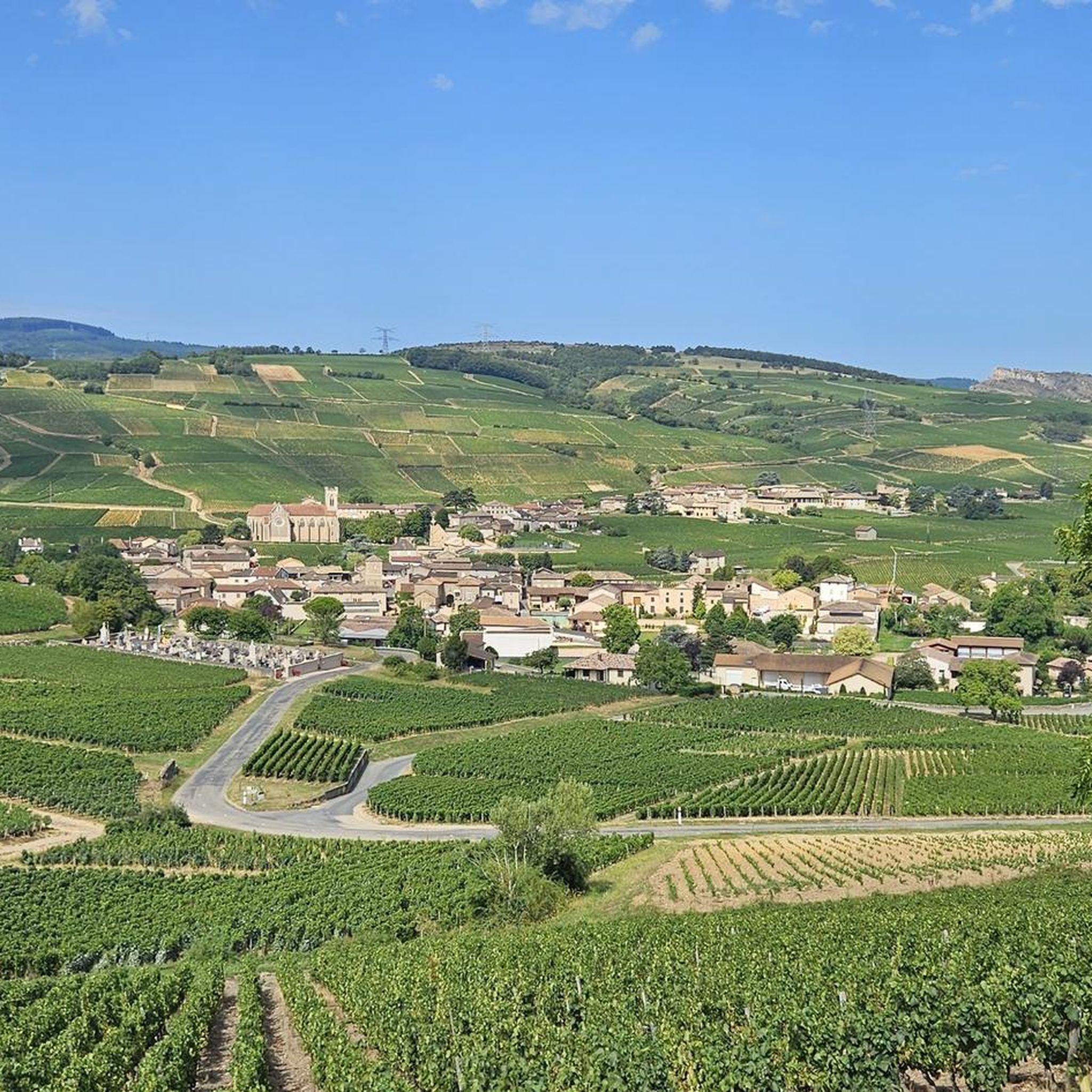
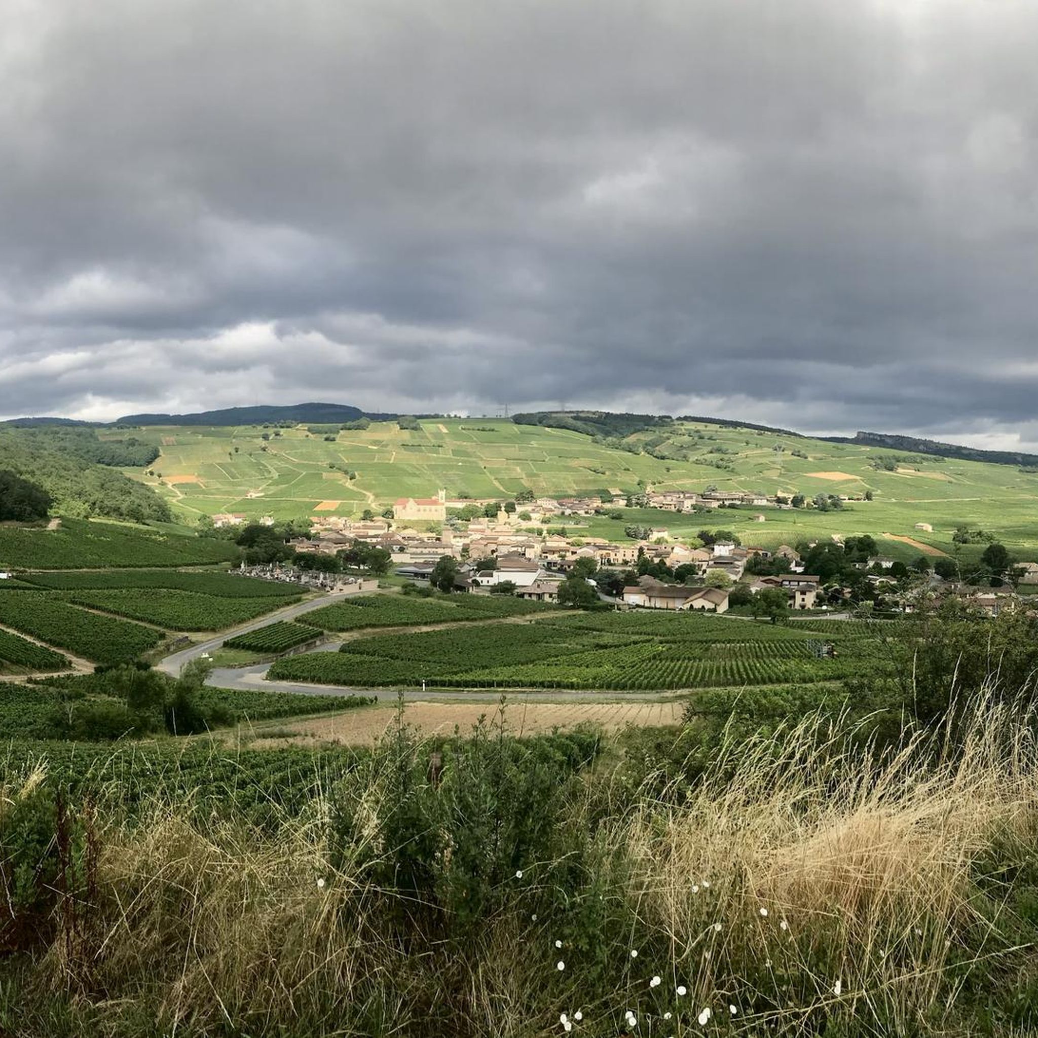
The Rock of Solutré is a world-famous, 493-meter-high limestone rock in the south of the Burgundy region. It is located amidst the picturesque vineyards of the municipality of Solutré-Pouilly. The region is officially designated as a Grand Site de France. The hike to the summit is easy to moderate and very doable for families. It takes about 1 hour for the entire loop (approx. 4 kilometers round trip). The elevation gain is around 100 to 140 meters from the official parking lot on well-maintained paths with information panels, although there are many steps.
1
0
The Solutré Rock is a world-famous, 493-meter-high limestone cliff in the south of the Burgundy region. It is situated amidst the picturesque vineyards of the municipality of Solutré-Pouilly. The region is officially designated as a Grand Site de France. The hike to the summit is easy to moderate and well-suited for families. It takes about 1 hour for the entire circular route (approx. 4 kilometers round trip). The elevation gain is around 100 to 140 meters from the official parking lot, on well-maintained paths with information panels, although there are many steps.
0
0
Although the pass is located in France and is not extremely high, its name translates to "Siberia Pass". The name goes back to the often very cold, snow-rich winds and the harsh weather conditions in winter.
1
0
The viewpoint is located in the well-known Beaujolais wine region, in the municipality of Chénas. It is an old stone ruin (historically often referred to as Cabane des Chasseurs or hunter's hut), which has been equipped with a modern metal staircase and a viewing platform. The ruin is located at 515 meters above sea level and offers hikers a spectacular 360-degree panoramic view of the surrounding vineyards and valleys of the region.
2
0
The Col de Gerbet (612 m) is an idyllic mountain pass in the French wine-growing region of Beaujolais. Depending on the starting point, various roads with little traffic lead up to the pass via the D137. From Juliénas (south-east approach): This route is 7.3 kilometers long. It overcomes 342 meters of altitude with a steady, moderate gradient of 4.7% on average. The road winds through shady forest sections. From La Croix Blanche (west approach): A tougher variant 4.5 kilometers long. Here you conquer 270 meters of altitude with an average gradient of 6% and ramps of up to 11%.
1
0

Juliénas is a charming small commune in Beaujolais surrounded by vineyards. The village is also known for its appellation. Its vineyards, its terroir, its cellars are conducive to wine tourism if that interests you.
0
0

A few hundred meters from the church of Saint-Amour-Bellevue, this orientation table takes advantage of its position to open up a wide panorama of the vineyards and the Saône which flows in the distance.
1
0

The summit of Mont Pouilly!
0
0
Frequently Asked Questions
How many mountain bike trails are available around Cormoranche-Sur-Saône?
There are over 150 mountain bike trails around Cormoranche-Sur-Saône listed on komoot. These routes cater to various skill levels, with 17 easy, 107 moderate, and 31 difficult options.
What are the difficulty levels of mountain bike trails in Cormoranche-Sur-Saône?
The mountain bike trails in Cormoranche-Sur-Saône range from easy to difficult. You'll find 17 easy routes, 107 moderate routes, and 31 challenging routes, ensuring options for all experience levels.
Are there any family-friendly mountain bike trails in the area?
Yes, there are 17 easy mountain bike trails around Cormoranche-Sur-Saône that are suitable for families. These routes typically feature less elevation gain and smoother terrain, making them enjoyable for riders of varying ages and abilities.
What kind of landscapes can I expect to see while mountain biking around Cormoranche-Sur-Saône?
You can expect diverse landscapes, including the scenic Saône River valley with its alluvial woodlands and wet meadows, rolling hills, and picturesque Mâconnais vineyards. Notable natural features like the Roche de Solutré and Rémont Mountain also define the terrain.
What are some notable landmarks or attractions I can visit along the mountain bike trails?
Many trails offer views or pass by significant landmarks. You can encounter the iconic Roche de Solutré, the Vergisson Rock, or enjoy panoramic views from Rémont Mountain. The Cormoranche Lake Leisure Center is also a popular spot for recreation.
Are there any mountain bike routes that offer significant elevation gain for advanced riders?
Yes, advanced riders can find challenging routes with substantial elevation gain. For example, the difficult route View from Montagne Rémont – View of Vaux and Pruzilly loop from Crêches-sur-Saône features over 1,100 meters of ascent, providing a demanding ride with panoramic views.
What do other mountain bikers say about the trails in Cormoranche-Sur-Saône?
The mountain bike trails in Cormoranche-Sur-Saône are highly rated by the komoot community, with an average score of 4.4 stars from over 200 reviews. Over 1,200 mountain bikers have explored the varied terrain, often praising the scenic views and diverse landscapes.
Are there any circular mountain bike routes available?
Yes, many of the mountain bike trails around Cormoranche-Sur-Saône are designed as loops. An example is the moderate Mount Pouilly – Mount Pouilly loop from Cormoranche-sur-Saône, which offers a circular ride of nearly 30 km.
What is the best season for mountain biking in Cormoranche-Sur-Saône?
The region's diverse landscapes, including riverside paths and vineyard trails, are generally enjoyable from spring through autumn. Spring offers lush greenery, while autumn provides vibrant colors in the vineyards. Summer can be pleasant, especially along the Saône River, but always check local weather conditions.
Can I find mountain bike trails that pass through the Mâconnais vineyards?
Absolutely. The region is famous for its Mâconnais vineyards, and several mountain bike trails traverse these picturesque areas. A challenging option is the View of Solutré-Pouilly – Mount Pouilly loop from Crêches-sur-Saône, which leads directly through the vineyards and past Solutré-Pouilly.
Are there any moderate-difficulty routes that offer good views?
Yes, the moderate View of Solutré-Pouilly – Mount Pouilly loop from Cormoranche-sur-Saône is a great option. It's a 43.5 km trail with over 670 meters of elevation gain, offering excellent views of the Solutré-Pouilly area.
Is there public transport access to the mountain biking areas?
While specific public transport details for trailheads vary, the region is well-connected. The La Voie Bleue cycle route, which passes by the Cormoranche Outdoor Activities Centre, offers extensive cycling opportunities and connects to various towns, making it possible to access some areas without a car. It's advisable to check local bus or train schedules for specific starting points.
Where can I find amenities like bike rental or repair?
The Cormoranche Outdoor Activities Centre, located alongside the Saône River, is an excellent hub for cyclists. Its campsite is 'Accueil Vélo' labeled, indicating cyclist-friendly amenities, which often include bike rental and repair stations.
Most popular routes around Cormoranche-Sur-Saône
Most popular attractions around Cormoranche-Sur-Saône

Get inspired with the komoot mobile app


Explore more
Browse the best MTB trails in other regions.
