The best MTB trails around Cruzilles-Lès-Mépillat
4.3
(169)
741
riders
96
rides
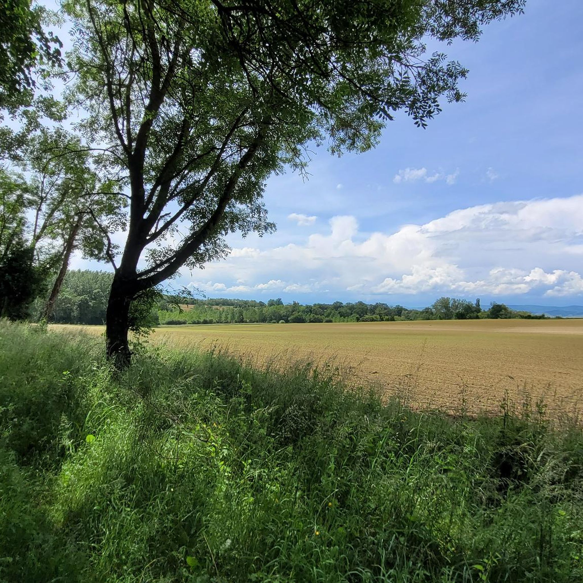
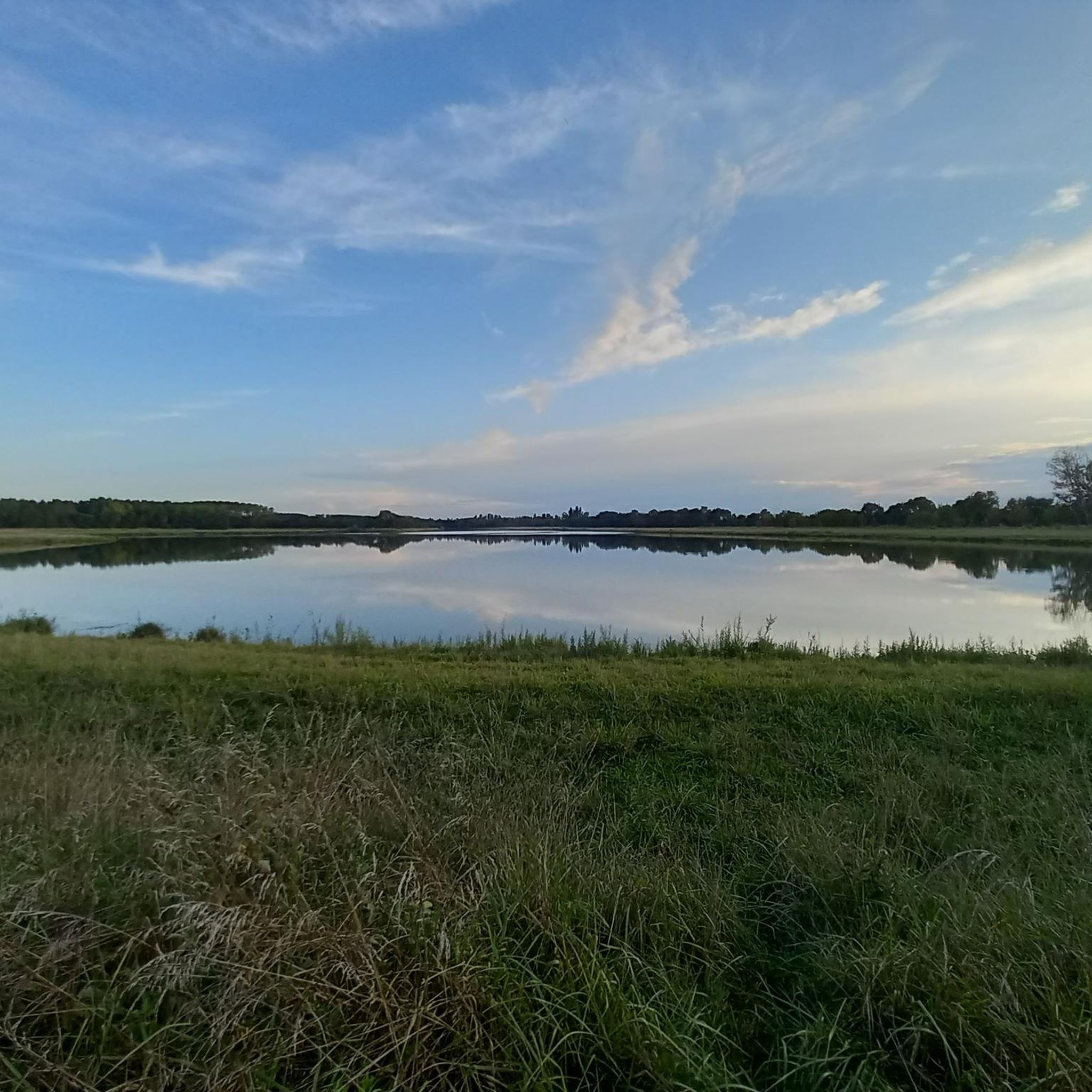
Mountain bike trails around Cruzilles-Lès-Mépillat are found in the Ain department of eastern France, characterized by a gently rolling landscape. The region features the Bresse bocage, a mosaic of fields and woodlands, and lies close to the Dombes region, known for its numerous ponds. Elevations range from 185m to 222m, offering varied terrain suitable for mountain biking without steep mountainous climbs. The Avanon river also forms part of the natural features, providing scenic routes along waterways.
Best mountain bike trails…
Last updated: July 11, 2026
4.0
(3)
14
riders
31.0km
02:16
220m
220m
Moderate mountain bike ride. Good fitness required. Advanced riding skills necessary.
4.5
(2)
11
riders
43.5km
03:30
670m
670m
Moderate mountain bike ride. Good fitness required. Suitable for all skill levels.

Sign up for free
4.3
(3)
7
riders
40.0km
02:34
190m
190m
Moderate mountain bike ride. Good fitness required. Advanced riding skills necessary.
4.5
(4)
6
riders
46.6km
03:11
340m
340m
Moderate mountain bike ride. Good fitness required. Suitable for all skill levels.
1.0
(1)
4
riders
Moderate mountain bike ride. Good fitness required. Suitable for all skill levels.
Get access to more routes and recommendations from other explorers.
Sign up for free
Already have an account?
Our route recommendations are based on thousands of hikes, rides, and runs completed by other people on komoot.
Start today with a free account
Your next adventure awaits.
Login or Signup



Tips from the Community

The Rock of Solutré is a world-famous, 493-meter-high limestone rock in the south of the Burgundy region. It is located amidst the picturesque vineyards of the municipality of Solutré-Pouilly. The region is officially designated as a Grand Site de France. The hike to the summit is easy to moderate and very doable for families. It takes about 1 hour for the entire loop (approx. 4 kilometers round trip). The elevation gain is around 100 to 140 meters from the official parking lot on well-maintained paths with information panels, although there are many steps.
1
0
The Solutré Rock is a world-famous, 493-meter-high limestone cliff in the south of the Burgundy region. It is situated amidst the picturesque vineyards of the municipality of Solutré-Pouilly. The region is officially designated as a Grand Site de France. The hike to the summit is easy to moderate and well-suited for families. It takes about 1 hour for the entire circular route (approx. 4 kilometers round trip). The elevation gain is around 100 to 140 meters from the official parking lot, on well-maintained paths with information panels, although there are many steps.
0
0

A few hundred meters from the church of Saint-Amour-Bellevue, this orientation table takes advantage of its position to open up a wide panorama of the vineyards and the Saône which flows in the distance.
1
0

The summit of Mont Pouilly!
0
0

Mont Pouilly 481m above sea level with a magnificent panoramic view
1
0
Magnificent view of the two rocks!
0
0

Beautiful campsite right on the Voie Bleu. Possibility to swim in the Saône and in the outdoor pool next door. Cozy snack bar right next to the campsite under plane trees on the bank. Sometimes with live music in the evenings. Various bungalows or permanent tents can also be rented at the campsite. Restaurant and small shop available. Clearly recommended!
1
0
Frequently Asked Questions
What kind of terrain can I expect on mountain bike trails around Cruzilles-Lès-Mépillat?
The region features a gently rolling landscape, characterized by the Bresse bocage with its mosaic of fields, hedges, and woodlands. You'll also find trails close to the Dombes region, known for its numerous ponds, and routes along the Avanon river. Elevations range from 185m to 222m, offering varied terrain without steep mountainous climbs.
Are there mountain bike trails suitable for beginners or families in Cruzilles-Lès-Mépillat?
Yes, the area offers a range of trails, including 18 easy routes that are well-suited for beginners or families looking for a less challenging ride. The gently rolling landscape of the Bresse bocage makes it accessible for various skill levels.
What natural features or landmarks can I see while mountain biking in the area?
You can explore the unique landscapes of the Bresse bocage and the Dombes region with its many ponds. The Avanon river also forms part of the natural features, offering scenic routes along waterways. For specific points of interest, consider routes that pass near the View of Mâcon and the Saône from the François Mitterand bridge or the Cormoranche Lake Leisure Center.
Are there any circular mountain bike routes available?
Yes, many of the mountain bike routes in the area are circular. For example, you can try the Étang du Moulin de Corsant loop from Pont-de-Veyle, a moderate 19.3-mile (31.0 km) trail, or the View of Solutré-Pouilly – Mount Pouilly loop from Cormoranche-sur-Saône, which is a moderate 27.1-mile (43.5 km) path.
What is the best time of year to go mountain biking around Cruzilles-Lès-Mépillat?
The region is generally pleasant for mountain biking during spring, summer, and autumn. The gently rolling landscape avoids the extreme conditions of high mountains, making it accessible for a longer season. Always check local weather forecasts before heading out.
How many mountain bike trails are there in Cruzilles-Lès-Mépillat?
There are over 90 mountain bike trails around Cruzilles-Lès-Mépillat, catering to various skill levels. This includes 18 easy routes, 60 moderate routes, and 15 difficult routes.
What do other mountain bikers enjoy most about the trails in Cruzilles-Lès-Mépillat?
The area is highly rated by the komoot community, with an average score of 4.4 stars from over 130 reviews. Mountain bikers often praise the varied terrain, the scenic views of the Bresse bocage and Dombes ponds, and the well-maintained paths suitable for different abilities.
Are there any long-distance mountain bike routes in the area?
Yes, for those looking for longer rides, routes like Guéreins – Gravel trail along the Saône loop from Pont-de-Veyle cover a significant distance of 61.2 km (38.0 miles), offering an extended exploration of the region's landscapes.
Is there parking available near the mountain bike trailheads?
While specific parking locations for every trailhead are not listed, many routes start from towns and villages like Pont-de-Veyle, Cormoranche-sur-Saône, and Grièges, where public parking is generally available. It's advisable to check local parking options for your chosen starting point.
Can I bring my dog on the mountain bike trails?
Many trails in rural areas of France are dog-friendly, especially if your dog is well-behaved and kept on a leash. However, it's always recommended to check specific trail regulations or local signage, particularly in nature reserves or agricultural areas, to ensure dogs are permitted.
Are there any challenging mountain bike trails for experienced riders?
Yes, for experienced riders seeking a challenge, there are 15 difficult mountain bike routes available. These trails typically feature more technical sections, greater elevation changes, or longer distances to test your skills and endurance.
What is the typical elevation gain on mountain bike trails around Cruzilles-Lès-Mépillat?
The region is characterized by a gently rolling landscape, with elevations ranging from 185m to 222m. While some routes like the View of Solutré-Pouilly – Mount Pouilly loop from Cormoranche-sur-Saône can have an ascent of around 674 meters, many trails feature more modest elevation gains, making them accessible without extreme climbs.
Most popular routes around Cruzilles-Lès-Mépillat
Most popular attractions around Cruzilles-Lès-Mépillat

Get inspired with the komoot mobile app


Explore more
Browse the best MTB trails in other regions.
