The best walks and hikes around Champfromier
4.4
(757)
4,901
hikers
18
hikes
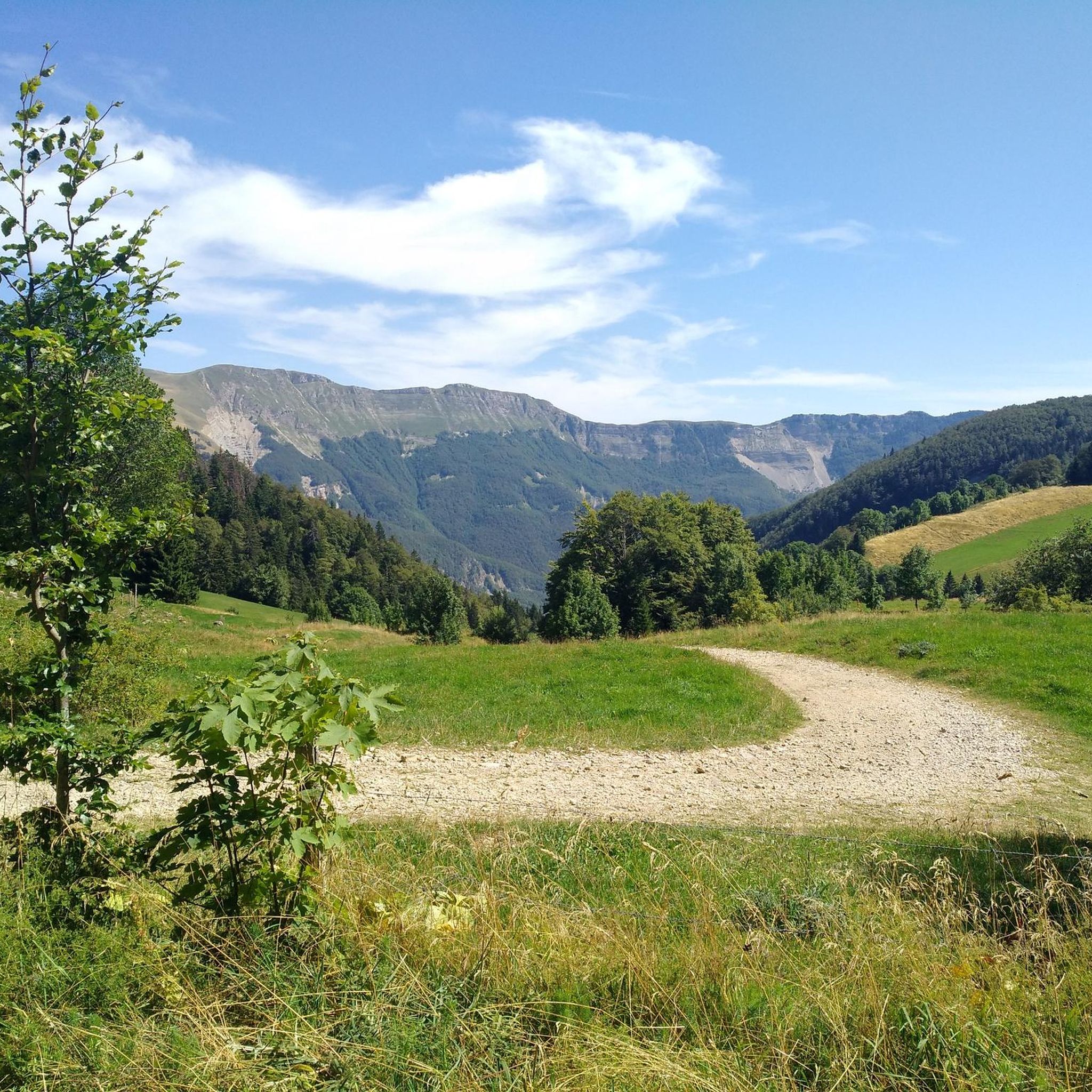
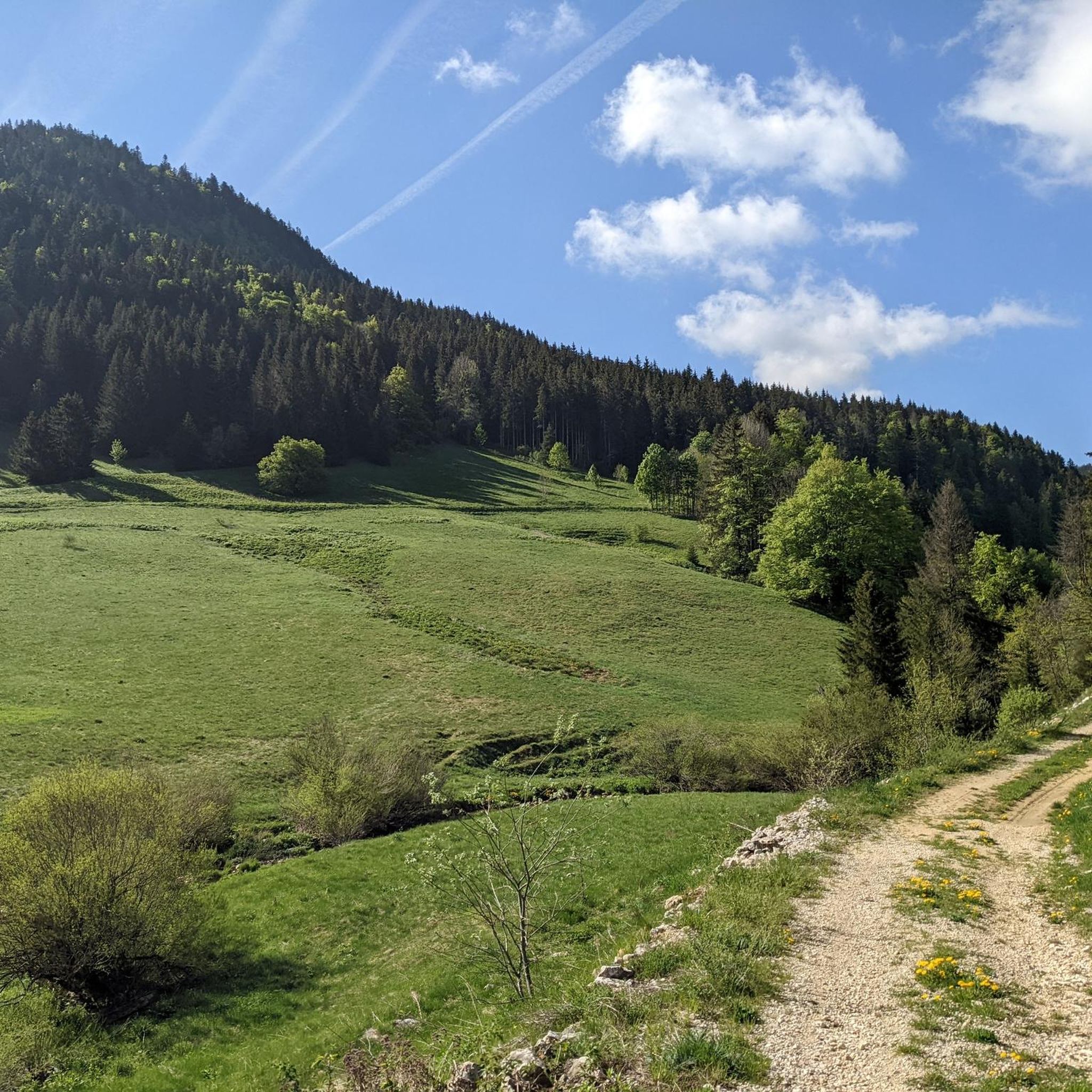
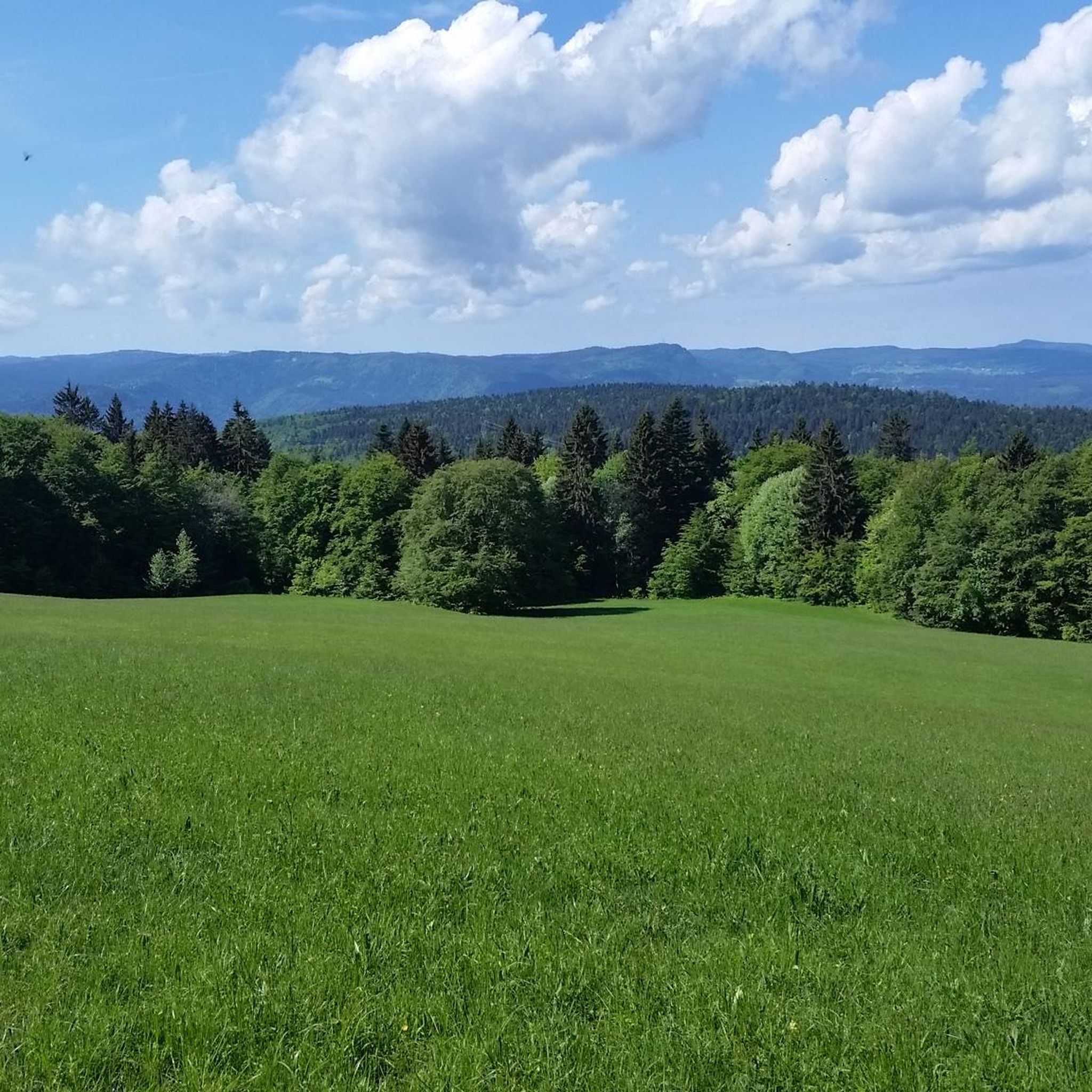
Hiking around Champfromier offers access to the diverse landscapes of the Ain department in the Auvergne-Rhône-Alpes region of France. The area is characterized by the Jura Mountains, featuring extensive forests, open pastures, and panoramic vistas. Hikers can explore trails along the Valserine River valley and ascend prominent peaks such as Crêt de Chalam, which provides wide views. The region's terrain includes varied elevations, from river paths to mountain ridges, suitable for different hiking abilities.
Best hiking trails around Champfromier
- The most popular hiking route is Crêt de Chalam — loop in the Parc Naturel Régional du Haut-Jura, a 3.0 miles (4.8 km) trail that takes 1 hour 33 minutes to complete. This moderate route offers views within the Haut-Jura Regional Natural Park.
- Another top favourite among local hikers is Crêt de Chalam – Cascade des Êtrés loop from Borne au Lion, a difficult 9.3 miles (15.0 km) path. This challenging trail includes significant elevation gain and leads through varied mountain scenery.
- Local hikers also love the Refuge du Berbois – la borne au lion loop from Borne au Lion, a 5.9 miles (9.4 km) trail leading through forests and mountain pastures, often completed in about 2 hours 49 minutes.
- Hiking around Champfromier is defined by the Jura Mountains, the Valserine River valley, and diverse forests and pastures. The network offers options for different ability levels, from easy paths to more challenging mountain ascents.
- The routes in Champfromier are highly rated by the komoot community with an average score of 4.4 stars from over 600 reviews. More than 4000 hikers have used komoot to explore Champfromier's varied terrain.
Last updated: August 19, 2026
4.3
(27)
239
hikers
4.78km
01:33
210m
210m
Moderate hike. Great for any fitness level. Mostly accessible paths. Sure-footedness required.
4.3
(28)
115
hikers
15.1km
05:37
930m
930m
Hard hike. Very good fitness required. Mostly accessible paths. Sure-footedness required.

Sign up for free
4.7
(27)
128
hikers
Hard hike. Good fitness required. Sure-footedness, sturdy shoes and alpine experience required.
4.7
(6)
60
hikers
12.2km
04:01
550m
550m
Hard hike. Good fitness required. Sure-footedness, sturdy shoes and alpine experience required.
4.9
(10)
41
hikers
9.45km
02:49
280m
280m
Moderate hike. Good fitness required. Mostly accessible paths. Sure-footedness required.
Get access to more routes and recommendations from other explorers.
Sign up for free
Already have an account?
Our route recommendations are based on thousands of hikes, rides, and runs completed by other people on komoot.
Start today with a free account
Your next adventure awaits.
Login or Signup

Tips from the Community

This boundary stone marked the border between Franche-Comté (north) and French Bugey (south). To the east, the Pays de Gex was separated by the Sardinian Corridor, in which the Spanish Way was located.
0
0


A stronghold of resistance and an ancient milestone on the Sardinian road that led to the Netherlands in the 17th century. A very beautiful view of the Jura Mountains, too.
0
0


The place is ideal for a picnic and to enjoy the view of the high Jura range.
0
0
Magnificent small summit with a view of the Alps and the Mont-Blanc massif. Depending on whether you go through the back or over the ridges, the ascent can be easy or technical and tricky. There is a bench at the top to enjoy the view.
1
0

Place rich in history
0
0

The Crêt de Chalam culminates at 1,540 m and offers a view to the east of the Valserine valley, the summit of Reculet, the Mont-Blanc massif and to the south of the Grand Crêt d'Eau and the peaks of Bugey. .
2
0
Frequently Asked Questions
How many hiking trails are available around Champfromier?
Champfromier offers a diverse network of over 18 hiking trails, catering to various skill levels. These routes explore the varied landscapes of the Jura Mountains and the Valserine River valley.
Are there easy hiking trails suitable for families or beginners?
Yes, Champfromier has options for easier hikes. There is 1 easy trail and 10 moderate trails, many of which are suitable for families or those new to hiking. For instance, the repurposed Voie du Tram offers a pleasant, traffic-free walkway. You can also find accessible paths along the Valserine River.
What kind of landscapes and natural features can I expect to see while hiking in Champfromier?
Hiking around Champfromier immerses you in the stunning landscapes of the Jura Mountains. You'll encounter extensive forests, expansive pastures, and the picturesque Valserine River valley. Prominent features include peaks like Crêt de Chalam and Crêt de la Neige, offering panoramic views, and areas like the Cirque des Avalanches with magnificent vistas over the Jura.
Are there any circular hiking routes in the area?
Yes, many trails around Champfromier are designed as circular routes, allowing you to start and end at the same point. A popular option is the Crêt de Chalam — loop in the Parc Naturel Régional du Haut-Jura. Another noted circular route explores the Valserine River between Montanges and Champfromier.
What are some notable attractions or viewpoints along the hiking trails?
The region is rich in natural and historical points of interest. You can find breathtaking panoramic views from spots like Crêt de Chalam, Roche Fauconnière, and the Cirque des Avalanches. The Crêt de la Neige offers impressive views of Lake Geneva and the Alps on clear days. Along the Valserine River, you might discover an old stone bridge, an electric factory, and an old custom booth.
Can I bring my dog on the hiking trails in Champfromier?
While specific rules vary by trail and protected areas like the Haut-Jura Regional Natural Park, generally, dogs are welcome on many trails in Champfromier, often on a leash. It's always best to check local signage or park regulations for the specific route you plan to hike to ensure a pleasant experience for everyone.
What is the best time of year to go hiking in Champfromier?
The best time to hike in Champfromier is typically from spring through autumn. During these seasons, the weather is generally mild, and the trails are clear of snow, offering lush greenery in spring/summer and vibrant colors in autumn. Summer provides longer daylight hours, while spring and autumn offer cooler temperatures ideal for longer excursions.
Are there challenging hikes for experienced trekkers?
Absolutely. Champfromier offers 7 difficult trails for those seeking a challenge. An example is the Crêt de Chalam – Cascade des Êtrés loop from Borne au Lion, a 15 km path with significant elevation gain. The multi-day GR® de Pays - Grand Tour de la Valserine also provides an extensive challenge for experienced hikers.
What do other hikers say about the trails in Champfromier?
The hiking routes in Champfromier are highly regarded by the komoot community, with an average score of 4.4 stars from over 600 reviews. Hikers often praise the diverse scenery, from dense forests to open pastures, and the rewarding panoramic views from peaks like Crêt de Chalam.
Is there public transport available to reach the trailheads?
While Champfromier is accessible by road, specific public transport options directly to all trailheads can be limited. It's advisable to check local bus schedules or consider driving to access the starting points of many hikes. Some popular departure points, like La Pesse for Crêt de Chalam, may have more accessible connections.
Where can I find parking for hiking trails in Champfromier?
Parking is generally available at or near the starting points of popular trails and in the village of Champfromier. For specific routes, look for designated parking areas at trailheads, often indicated on local maps or in route descriptions. Some popular spots like Borne au Lion, a common starting point for Crêt de Chalam hikes, will have parking facilities.
What kind of wildlife might I encounter on the trails?
The diverse natural environment of the Jura Mountains around Champfromier provides opportunities to observe various wildlife. Hikers may spot chamois and deer, especially in quieter forest and pasture areas. Birdwatching is also popular, with many species inhabiting the region's woodlands.
Most popular routes around Champfromier
Most popular attractions around Champfromier

Get inspired with the komoot mobile app


Explore more
Browse the best Hikes in other regions.
