The best MTB trails around Graye-Et-Charnay
4.2
(28)
118
riders
24
rides
Mountain biking around Graye-Et-Charnay offers diverse landscapes within the Suran valley, located in the Jura department. The region is characterized by a predominantly grassy terrain due to cattle breeding, with elevations ranging from 367 to 604 meters. This varied topography provides a mix of trails suitable for different skill levels, from gentle paths to more challenging routes. The area's hilly to mountainous climate contributes to its dynamic outdoor environment.
Best mountain bike trails around Graye-Et-Charnay
- The most popular mountain bike…
Last updated: June 27, 2026
5.0
(1)
8
riders
24.3km
02:22
630m
630m
Moderate mountain bike ride. Good fitness required. Advanced riding skills necessary.
5.0
(1)
3
riders
25.2km
02:24
730m
730m
Moderate mountain bike ride. Good fitness required. Advanced riding skills necessary.

Sign up for free
5
riders
26.3km
02:22
580m
580m
Hard mountain bike ride. Good fitness required. Advanced riding skills necessary. Some portions of the route may require you to push your bike.
4.0
(1)
2
riders
Moderate mountain bike ride. Good fitness required. Suitable for all skill levels.
5.0
(1)
6
riders
24.7km
02:19
600m
600m
Moderate mountain bike ride. Good fitness required. Advanced riding skills necessary.
Get access to more routes and recommendations from other explorers.
Sign up for free
Already have an account?
Our route recommendations are based on thousands of hikes, rides, and runs completed by other people on komoot.
Start today with a free account
Your next adventure awaits.
Login or Signup
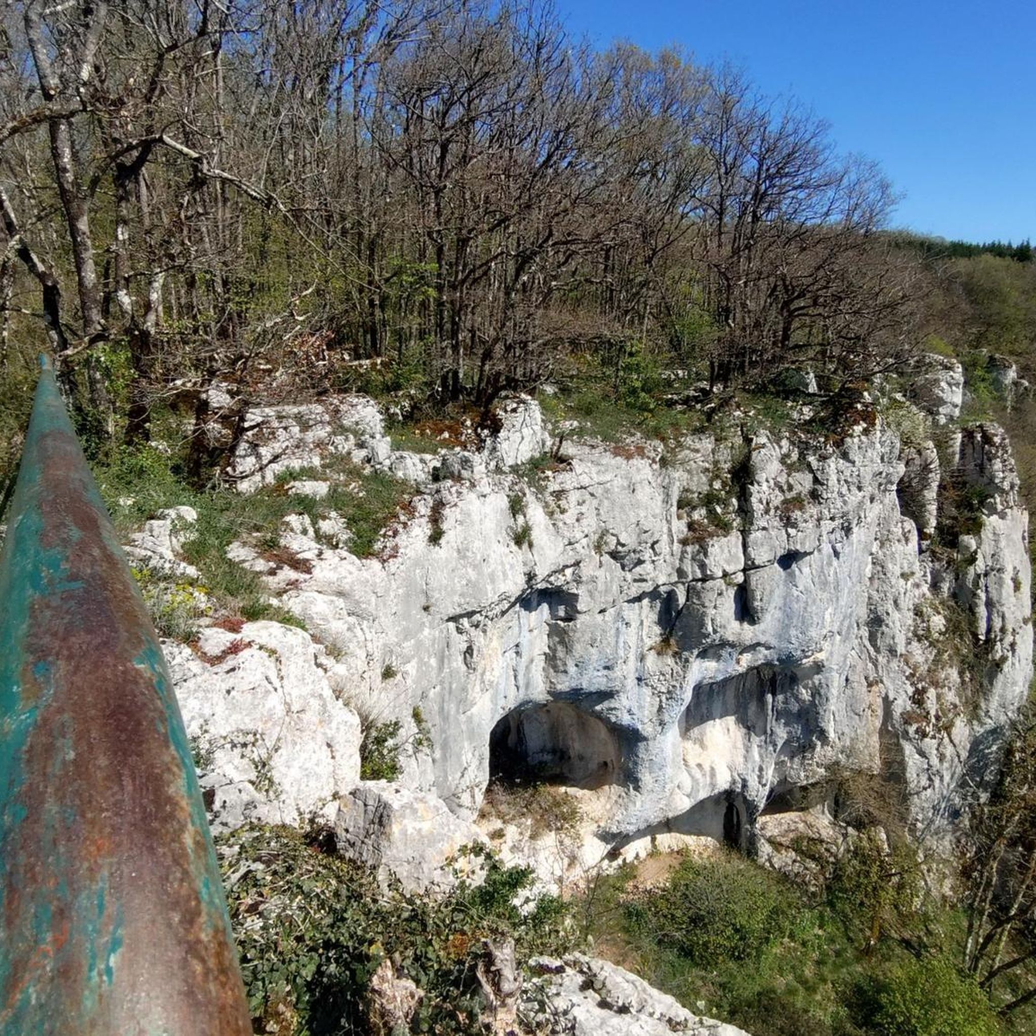

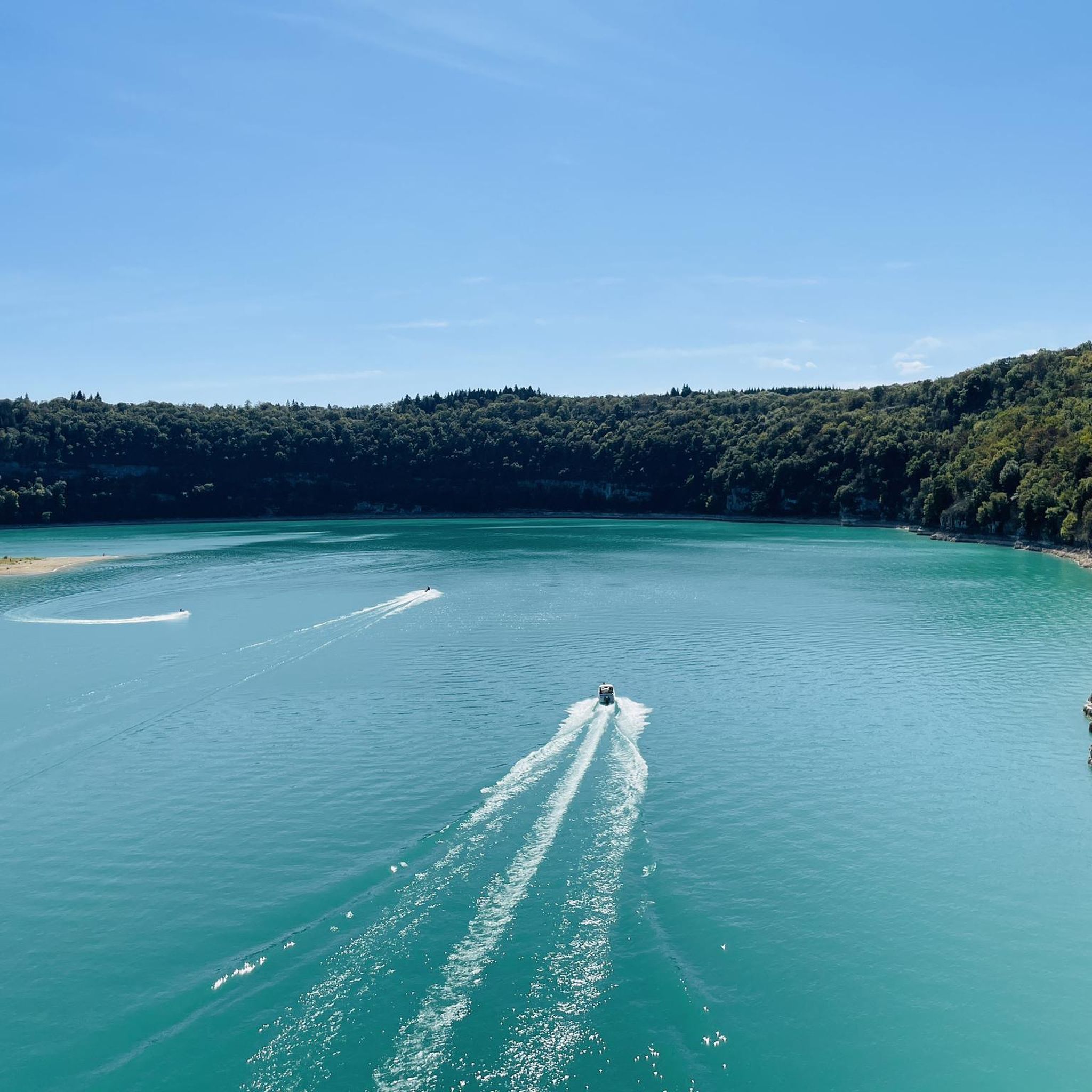
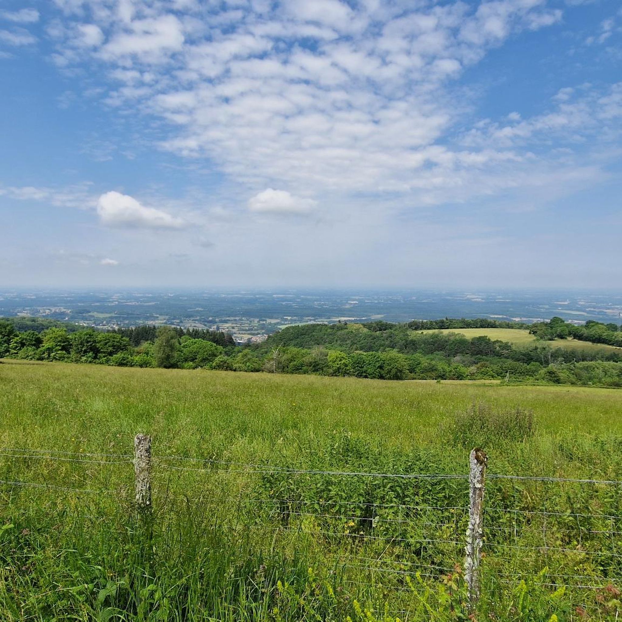
Tips from the Community

Relay station on the Mont du Gouillat
0
0

Small castle 🏰 but privately used.
2
0

Built on a rocky promontory at an altitude of 482 meters, the castle dates from the 12th century. The scene of numerous sieges during the French invasions, it was pillaged and then largely destroyed at the end of the 18th century. Purchased in 1980 by a lover of the site, Marcel Duthion, the building was completely restored over around fifteen years to regain its original silhouette.
2
0

Charming Romanesque style church.
0
0
The Roman roads of Revermont make it possible to make the connection between various cities and nearby ancient agglomerations (Bourg-en-Bresse, Coligny, Lons-le-Saunier). Difficult to date and little studied, this building was the subject of a vast restoration campaign in the 1980s carried out by volunteers, which today allows us to walk in the footsteps of our ancestors. You can discover the traces left by the passage of wheels in the cobblestones and enjoy the shaded path that leads to the Montagna belvedere.
0
0
The Montagna belvedere site benefits from secure development as well as a landscaped reading table. It offers a beautiful view of the village and Bresse.
0
0
This feudal castle with its three successive gates furnished with towers and drawbridges and its wide moats separated by a thick wall, was built in the 12th century by the lords of Coligny, descendants of the counts of Burgundy. This place now hosts ceremonies and other festivities.
1
0

Very quiet path with still a fairly steep climb on the Curny side (North-South direction). It may require setting foot on the ground but is still doable with a rigid gravel by driving a little. The rest of the route is much quieter and rolling. There is also a shelter at the southern end of the section that can easily accommodate 20 people in case of bad weather. There are also 2 tables for the break
0
0
Frequently Asked Questions
What kind of terrain can I expect on mountain bike trails around Graye-Et-Charnay?
The region around Graye-Et-Charnay features diverse landscapes within the Suran valley. You'll encounter predominantly grassy terrain, characteristic of the area's cattle breeding, alongside varied hilly to mountainous topography. Elevations range from 367 to 604 meters, offering a mix of ascents and descents.
How many mountain bike trails are available in Graye-Et-Charnay?
There are 17 mountain bike trails around Graye-Et-Charnay listed on komoot. These routes cater to various skill levels, from easy paths to more challenging rides.
Are there mountain bike trails suitable for beginners or those looking for an easy ride?
Yes, Graye-Et-Charnay offers 2 easy mountain bike trails. Additionally, there are 13 moderate routes that provide a good balance for intermediate riders.
Are there any challenging mountain bike trails for experienced riders?
For experienced mountain bikers seeking a challenge, there are 2 difficult trails around Graye-Et-Charnay. One such route is the Enduro towards Gizia loop from Cousance, which covers 26.1 km with significant elevation changes.
What are some notable landmarks or viewpoints I can encounter on the trails?
Many trails offer scenic views and pass by interesting landmarks. For example, the Nice view – Louvarel Pond loop from Louvarel provides scenic views around Louvarel Pond. You can also explore historical sites like the Chevreaux Castle, a medieval fortress established in 1158, which is situated on a rocky outcrop and offers historical interest and scenic views.
Are there any waterfalls or natural springs to see while mountain biking?
Yes, the region features natural water sources. You might encounter the Quinquenouille Waterfall. Additionally, the 'Source de La Doye' is a significant natural spring in the area.
What do other mountain bikers say about the trails in Graye-Et-Charnay?
The mountain bike trails in Graye-Et-Charnay are highly rated by the komoot community, with an average score of 4.2 stars from over 25 reviews. More than 120 mountain bikers have used komoot to explore the varied terrain, often praising the diverse landscapes and well-maintained paths.
Are there any circular mountain bike routes available?
Yes, many of the mountain bike routes around Graye-Et-Charnay are designed as loops. Examples include the Path in the woods – Andelot Castle loop from Nantey and the Belvédère du Tille loop from Chavéria, offering convenient circular options for your ride.
What is the best time of year to go mountain biking in Graye-Et-Charnay?
Graye-Et-Charnay experiences a 'mountainous margins climate.' While specific seasonal recommendations aren't provided, generally, spring and autumn offer pleasant temperatures and vibrant scenery for mountain biking. Summers can be warm, and winters may bring colder conditions suitable for specific winter sports, so checking local weather is always advisable.
Are there any historical sites or cultural attractions accessible by mountain bike?
Yes, the region has historical significance. You can ride past the Chevreaux Castle, a medieval castle dating back to 1158. Some routes, like the Path in the woods – Andelot Castle loop from Nantey, specifically lead past historical landmarks.
What other outdoor activities can be found near Graye-Et-Charnay?
Beyond mountain biking, the Jura Mountains region offers a wide range of outdoor activities. You can find opportunities for hiking, swimming, climbing, and trail running. The area is known for its unspoilt nature and features a Regional Nature Park.
Is there a longer, multi-day mountain biking option in the broader Jura Mountains?
Yes, for those seeking an extended adventure, the broader Jura Mountains are home to the famous 'Grande Traversée du Jura' (GTJ). This multi-day mountain biking route spans over 400 km across varied and wild landscapes. You can find more information about the GTJ on the Bugey Sud Tourisme website: The Grande Traversée du Jura by Mountain Bike.
Most popular attractions around Graye-Et-Charnay

Get inspired with the komoot mobile app


Explore more
Browse the best MTB trails in other regions.
