Top 5 Mountain Passes around Châtillon-En-Michaille
Best mountain passes around Châtillon-En-Michaille are situated in the Ain department, within the Jura Mountains. This region offers a variety of passes known for their geographic features and routes suitable for outdoor activities. The area provides diverse terrain for cycling and hiking, with passes connecting valleys and plateaus. Its location allows access to routes with varying gradients and scenic views.
Best mountain passes around Châtillon-En-Michaille
- The most popular mountain pass is Cuvéry Pass, a mountain pass with a 14.4-kilometer…
Last updated: October 13, 2026
Col de Bérentin
Highlight • Mountain Pass
Translated by Google •
Tip by

Cuvéry Pass
Highlight • Mountain Pass
Translated by Google •
Tip by
Sign up now to discover places like this
Get recommendations on the best single tracks, peaks, & plenty of other exciting outdoor places.
Menthières Pass
Highlight • Mountain Pass
Translated by Google •
Tip by

Belleroche Pass
Highlight (Segment) • Mountain Pass
Translated by Google •
Tip by

Col de Richemond (1060 m)
Highlight • Mountain Pass
Translated by Google •
Tip by

Sign up for free to discover even more mountain passes around Châtillon-En-Michaille.
Already have an account?
Start today with a free account
Your next adventure awaits.
Popular around Châtillon-En-Michaille
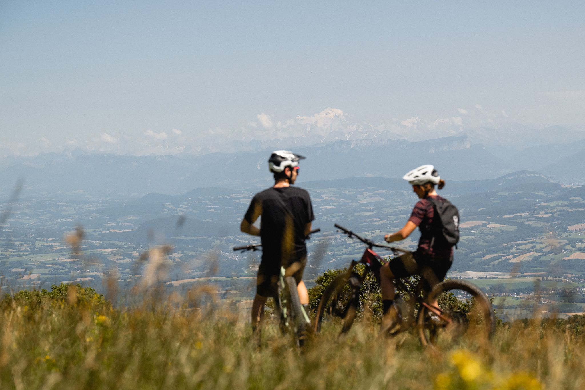
Gems of the Ain — MTB routes amidst natural beauty
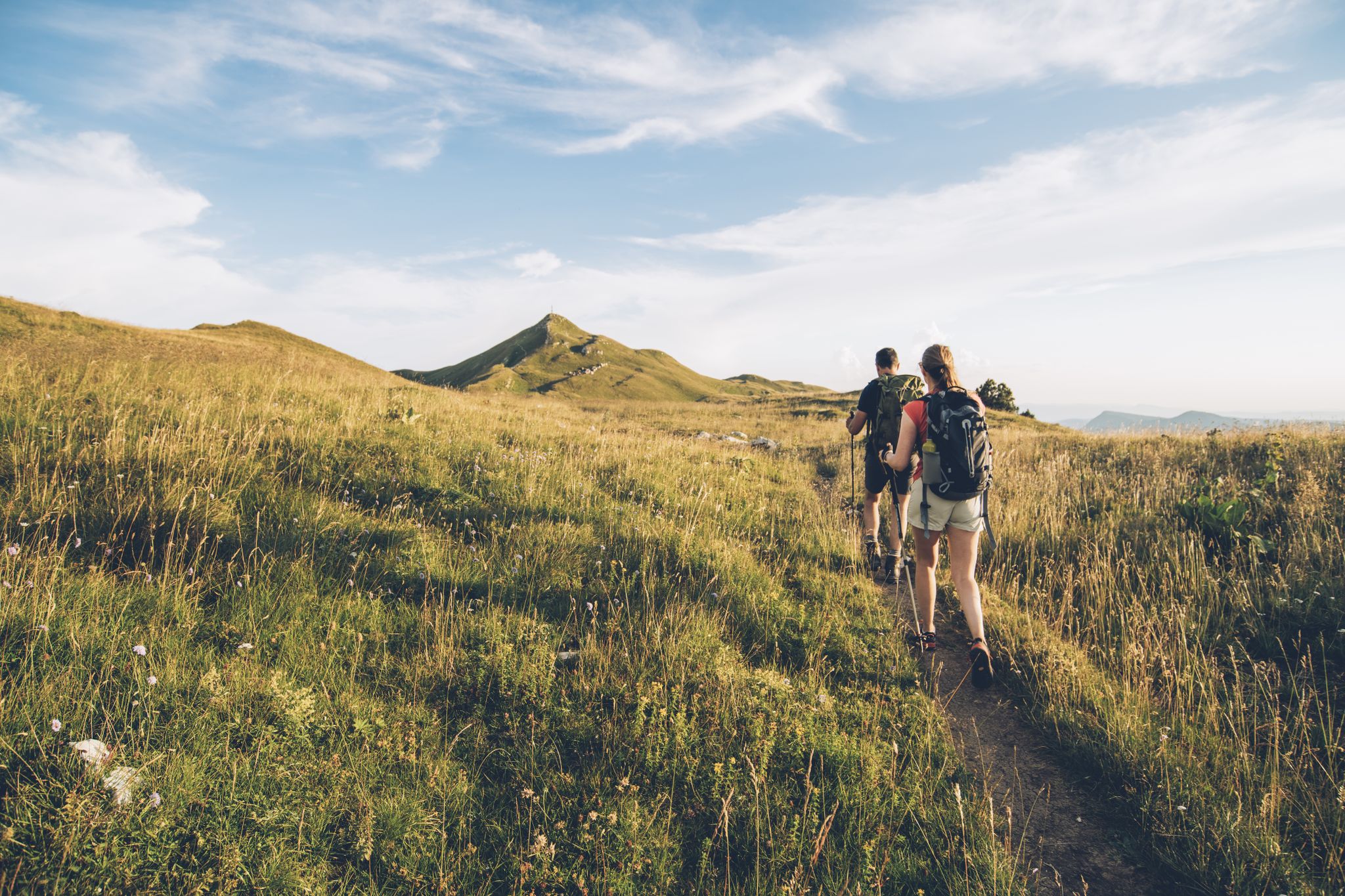
The thousand faces of the Jura Mountains – Grande Traversée du Jura on foot
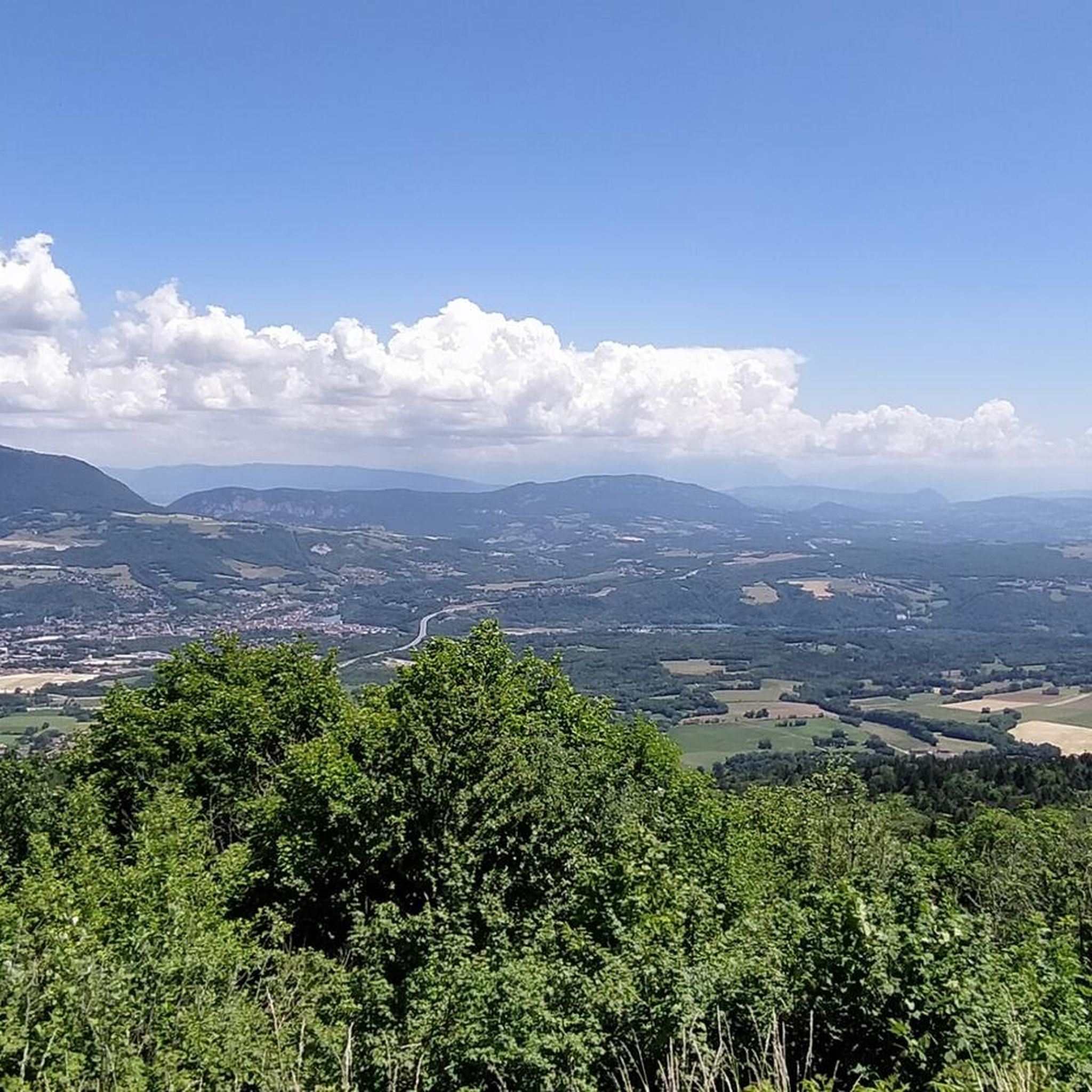
Hiking around Châtillon-En-Michaille
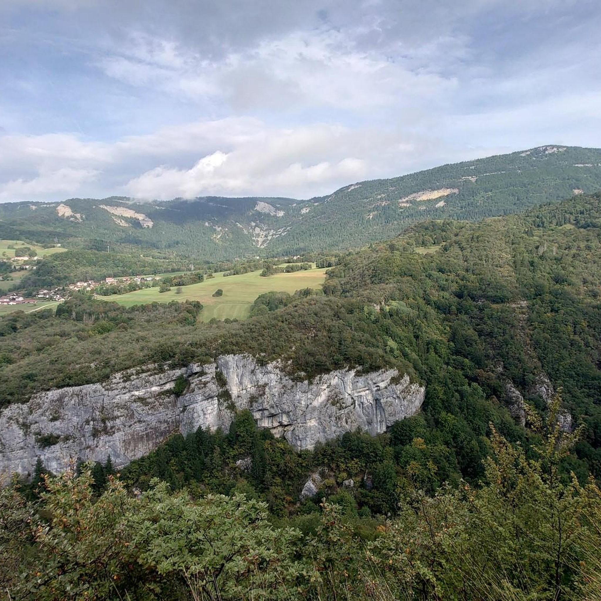
Running Trails around Châtillon-En-Michaille
Road Cycling Routes around Châtillon-En-Michaille
MTB Trails around Châtillon-En-Michaille
Cycling around Châtillon-En-Michaille

Gravel biking around Châtillon-En-Michaille


Tips from the Community

A 10 km climb from the small roundabout in Châtillon, it's more like 14 km from the Nantua road or the center of Bellegarde. The gradient is fairly steady, ranging from 5.5% to 7.2%, with about ten small steep sections at +8.5%. Very quiet, with very few cars. The road is generally in good condition, but nothing more. There are some beautiful views along the way.
1
1

The Col de Bérentin connects the Valserine Valley to the Retord Plateau, passing through the beautiful Jura forests. Its ascent is gradual and the road is little traveled.
0
0

Small, very quiet pass between valleys and forests with very few car passages.
0
0

Second pass for today. Pass elevation 1144 m above sea level. Long climb, basically from Saint Germain to here. A total of about 700 m elevation gain and 12 km. The gradient is only 4-6%, but with 20 kg of luggage, everything is difficult ;) Here, too, the weather was still quite cool in very early April. Partly rain, partly windy.
0
0

Rest after a 12 km climb from Saint-Germain-de-Joux.
0
1

Regular climb, on one side or the other. Be careful, however, if you arrive at the top in "limit": there are two "passes" which follow one another in two km, this can give a little blow to morale when the legs respond less well 😉
2
0

The Col de Belleroche is 1,056 meters above sea level. Approximately 12 kilometers long, you must climb 577 meters of elevation gain with a maximum gradient of 9% to reach 1,056 meters above sea level. While it's quite challenging, the scenery will be there to motivate you!
0
0
Frequently Asked Questions
What are some of the most scenic mountain passes near Châtillon-En-Michaille?
The region offers several passes with stunning views. The Col de la Faucille, though not directly in Châtillon-en-Michaille, provides exceptional 360-degree panoramic views of the Jura plateau, Lake Geneva, and the Alps, including Mont Blanc on a clear day. The Grand Colombier also offers breathtaking views of the Alps, the Rhône River, and three major lakes: Lake Bourget, Lake Annecy, and Lake Geneva.
Which mountain passes are best for cycling enthusiasts?
Cycling is very popular in the area. The Cuvéry Pass is known for its 14.4-kilometer climb with a steady average gradient of 5-6% and minimal car traffic, making it quiet for cyclists. The Col de la Faucille is a category 1 climb, featured numerous times in the Tour de France. For a significant challenge, the Grand Colombier is considered one of France's most difficult passes, with sections exceeding 20%.
Are there any mountain passes suitable for beginners or those looking for an easier ascent?
Yes, for a more gradual experience, the Col de Bérentin offers a gradual ascent through beautiful Jura forests and is little traveled. The Menthières Pass also has a relatively flatter route when ascending from Mijoux/Lelex, providing magnificent views of the Valserine valley.
What outdoor activities can I do near these mountain passes?
Beyond cycling, the mountain passes offer excellent opportunities for hiking and mountain biking. The Col de la Faucille is a popular starting point for hiking and snowshoeing trails within the Haut-Jura Regional Nature Park. The Grand Colombier is also a perfect destination for hikers and nature lovers, with numerous trails. You can find various MTB Trails, Cycling routes, and Running Trails in the wider Châtillon-En-Michaille area.
Are there any family-friendly attractions or activities at the mountain passes?
The Col de la Faucille features a notable summer attraction: a 955-meter rail sledging course with five hairpins and a gradient of up to 37%, which can be a fun activity for families.
What is the best time of year to visit the mountain passes around Châtillon-En-Michaille?
The mountain passes are enjoyable in different seasons. Summer and early autumn are ideal for cycling, hiking, and enjoying panoramic views. The Col de la Faucille also offers winter sports, with ski resorts in the area, making it a year-round destination depending on your preferred activities.
What kind of natural landscapes can I expect to see?
The region's passes are set within the Jura Mountains, offering diverse landscapes. You'll find dense forests, mountain prairies rich in wildflowers, and views of picturesque sites like the Thurignin gorges and Cerveyrieu waterfall, especially around the Grand Colombier. The Col de Bérentin, for example, passes through beautiful Jura forests.
Are there any historical points of interest at these passes?
The Col de la Faucille has historical significance as a former crossing point for the stagecoach from Paris to Geneva in the early 19th century. It once housed a customs office due to the Pays de Gex being a free zone and was part of the former national road N5.
Which passes offer the best viewpoints?
Both the Col de la Faucille and the Grand Colombier are renowned for their exceptional viewpoints. From the Col de la Faucille, you can see Lake Geneva and Mont Blanc. The Grand Colombier provides 360-degree views of the Alps, the Rhône River, and three major lakes, with specific viewpoint indicators like 'Le Fenestrez' and 'La Croix' accessible by car.
What makes the Grand Colombier a unique destination?
The Grand Colombier stands out for its challenging cycling climbs, often featured in professional races, and its exceptional 360-degree panoramas of the Alps and surrounding lakes. It's also a protected Sensitive Natural Area and a Natura 2000 site, important for its rich biodiversity and wildflowers, making it a haven for nature lovers and hikers.
What is the typical gradient for climbs in the region?
The gradients vary significantly. Passes like Cuvéry Pass and Col de Richemond (1060 m) feature regular climbs typically between 5% and 6%. However, more challenging passes like the Grand Colombier can have sections exceeding 20%, and the Menthières Pass has steep sections reaching 10% when ascending from Confort.
Are there quiet routes for cycling away from heavy traffic?
Yes, several passes offer tranquil cycling experiences. The Cuvéry Pass is noted for its very quiet conditions with few cars. The Col de Bérentin is also described as little traveled, and the Belleroche Pass is known for its calm and very little frequented roads, ideal for cycling.
Most popular routes around Châtillon-En-Michaille
Most popular attractions around Châtillon-En-Michaille

Get inspired with the komoot mobile app


Explore more
See even more epic mountain passes by checking out these guides around Châtillon-En-Michaille:
