The best road cycling routes around Confort
4.4
(111)
2,478
riders
101
rides
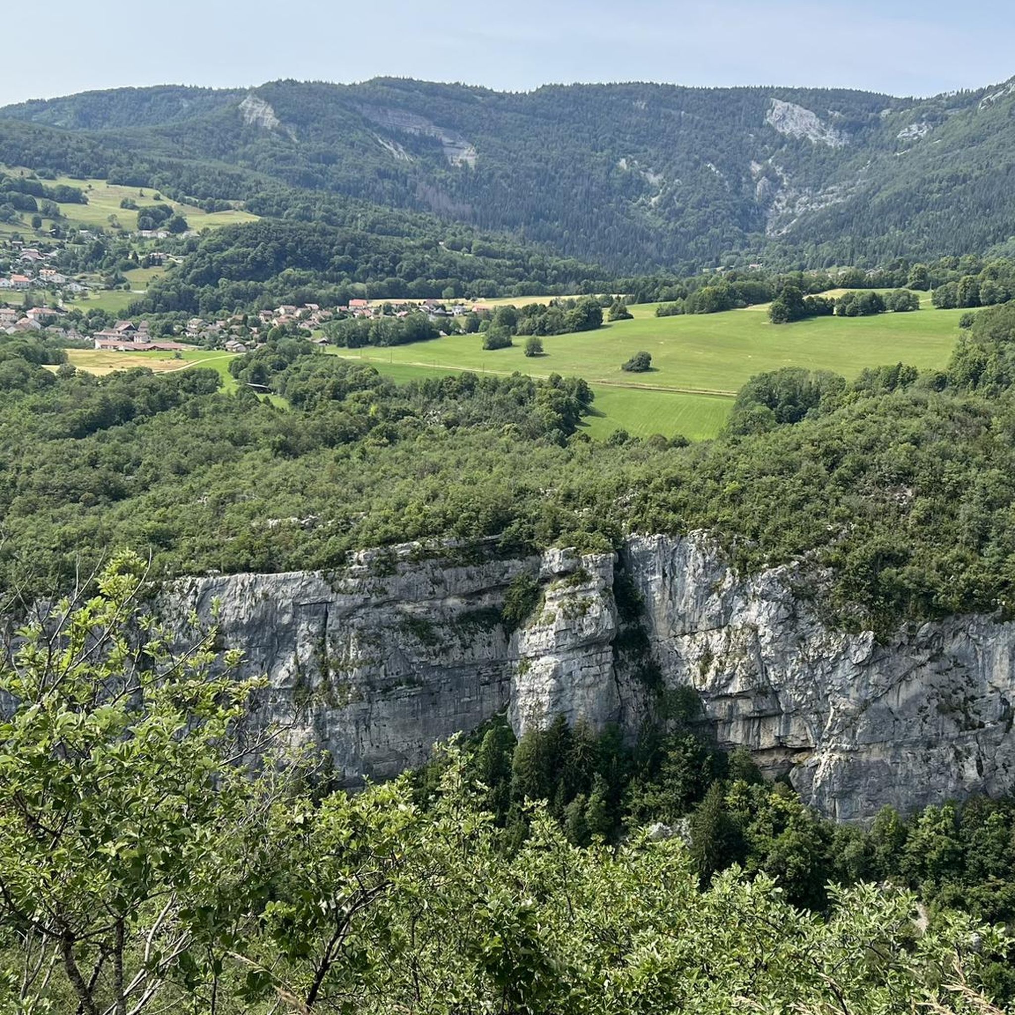
Road cycling around Confort, located in the Ain region of France, is characterized by the Jura Mountains and the Valserine River valley. The landscape features deep gorges carved into limestone rock, dense forests, and alpine meadows. Cyclists navigate routes that include sections along riverbanks and through varied terrain, offering both technical challenges and scenic views.
Best road cycling routes around Confort
- The most popular road cycling route is View of the Lelex Cliffs – Mijoux loop from Montanges, a…
Last updated: July 11, 2026
4.7
(14)
248
riders
103km
05:39
2,070m
2,070m
Hard road ride. Very good fitness required. Mostly well-paved surfaces and easy to ride.
4.0
(2)
44
riders
38.2km
02:09
840m
840m
The Le Col de Cuvery depuis Bellegarde - loop is a moderate 23.8-mile road cycling route with consistent climbs and panoramic views of the J

Sign up for free
4.0
(1)
16
riders
46.2km
02:24
840m
850m
Experience a challenging 28.7-mile road cycling loop through the Haute-Savoie, featuring historic landmarks and views of the Jura mountains.
4.5
(4)
287
riders
92.4km
04:52
1,720m
1,720m
Hard road ride. Very good fitness required. Mostly well-paved surfaces and easy to ride.
4.8
(6)
120
riders
58.0km
03:25
1,350m
1,350m
Hard road ride. Very good fitness required. Mostly well-paved surfaces and easy to ride.
Get access to more routes and recommendations from other explorers.
Sign up for free
Already have an account?
Our route recommendations are based on thousands of hikes, rides, and runs completed by other people on komoot.
Start today with a free account
Your next adventure awaits.
Login or Signup

Other adventures around Confort

Tips from the Community

Nice winter sports village or walking in the summer.
0
0
Bridge over the Valserine River. Route along the Rhône towards Geneva.
0
0

Top-notch cottage with a friendly and very attentive team! I highly recommend it.
0
0

A 10 km climb from the small roundabout in Châtillon, it's more like 14 km from the Nantua road or the center of Bellegarde. The gradient is fairly steady, ranging from 5.5% to 7.2%, with about ten small steep sections at +8.5%. Very quiet, with very few cars. The road is generally in good condition, but nothing more. There are some beautiful views along the way.
1
1

Wonderful car-free road. Great pass to Ginon.
0
0

The Col de Bérentin connects the Valserine Valley to the Retord Plateau, passing through the beautiful Jura forests. Its ascent is gradual and the road is little traveled.
0
0
Frequently Asked Questions
How many road cycling routes are available around Confort?
There are over 100 road cycling routes available around Confort, catering to various skill levels. The komoot community has explored these routes extensively, with over 2,700 road cyclists using komoot to discover the area.
What are the typical difficulty levels for road cycling routes in Confort?
Road cycling routes in Confort offer a range of difficulties. You'll find a few easy routes, but the majority are classified as moderate or difficult, providing challenges with significant elevation changes, especially within the Jura Mountains and Valserine Gorges.
Are there any long-distance road cycling opportunities in the Confort region?
Yes, the Confort area is part of the extensive 'Great Crossing of the Jura by bike,' a 360-kilometer route that traverses the Jura Mountains and the Haut-Jura Regional Natural Park. This route offers diverse scenery and passes through charming villages.
What kind of landscapes and natural features will I encounter while cycling around Confort?
The region is defined by the majestic Jura Mountains, deep gorges carved by the Valserine River, dense forests, and alpine meadows. On clear days, you might even catch breathtaking views of Mont Blanc and Lake Geneva from higher elevations like the Plateau de Retord.
Are there any specific viewpoints or natural attractions worth seeing along the routes?
Absolutely. Cyclists can enjoy views of the Valserine Gorges, the La Roche Fauconnière viewpoint, and the View of the Rhône. The Plateau de Retord also offers spectacular vistas.
What do other road cyclists appreciate most about cycling in Confort?
The komoot community rates the routes in Confort highly, with an average score of 4.4 stars. Cyclists often praise the varied terrain, from challenging climbs in the Jura Mountains to scenic sections along the Valserine River, and the rewarding panoramic views.
Can you recommend a moderate road cycling route with good views?
A popular moderate route is the View of the Lelex Cliffs – Mijoux loop from Montanges. This 37.9-mile (61.1 km) trail offers scenic views of the Lelex Cliffs and passes through the village of Mijoux.
Is there a challenging road cycling route that explores the Valserine Gorges?
For a challenging experience, consider the Valserine Gorges – Stone Bridge loop from Confort. This difficult 27.6-mile (44.5 km) path traverses the demanding terrain of the Valserine Gorges, featuring significant elevation changes.
Are there any routes that follow a river or offer views of a major waterway?
Yes, the View of the Rhône – ViaRhôna Vulbens-Seyssel loop from Confort is a great option. This 27.6-mile (44.4 km) trail leads through the Rhône valley, offering picturesque views of the river.
What is the best time of year for road cycling in Confort?
The region's diverse landscape, including the Jura Mountains, suggests that spring, summer, and early autumn would be ideal for road cycling. These seasons offer pleasant temperatures and clear views, avoiding the challenges of winter conditions at higher altitudes.
Are there any charming villages or cultural sites to explore near the cycling routes?
Yes, the Valserine Valley is home to charming villages like Chézery-Forens, Lélex, and Mijoux, each with traditional architecture. You can also explore the 'Chemin des Savoir-Faire' to discover local artisans and traditional practices like cheese-making.
Where can I find more information about the natural beauty of the Ain region?
For more details on the natural attractions and landscapes of the Ain region, you can visit the official tourism website: ain-tourisme.com.
Most popular attractions around Confort

Get inspired with the komoot mobile app


Explore more
Browse the best Road cycling routes in other regions.
