The best walks and hikes around Poligné
4.5
(358)
2,049
hikers
168
hikes
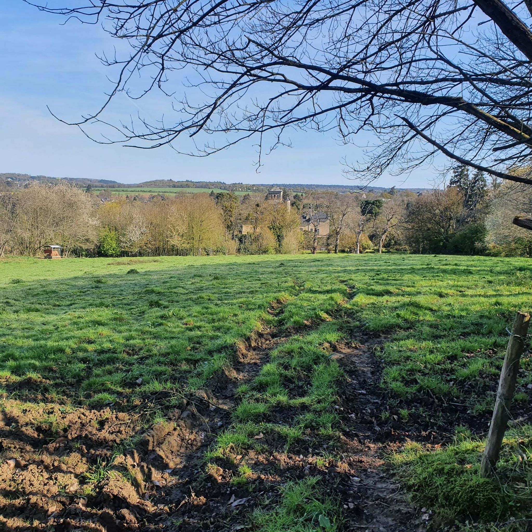
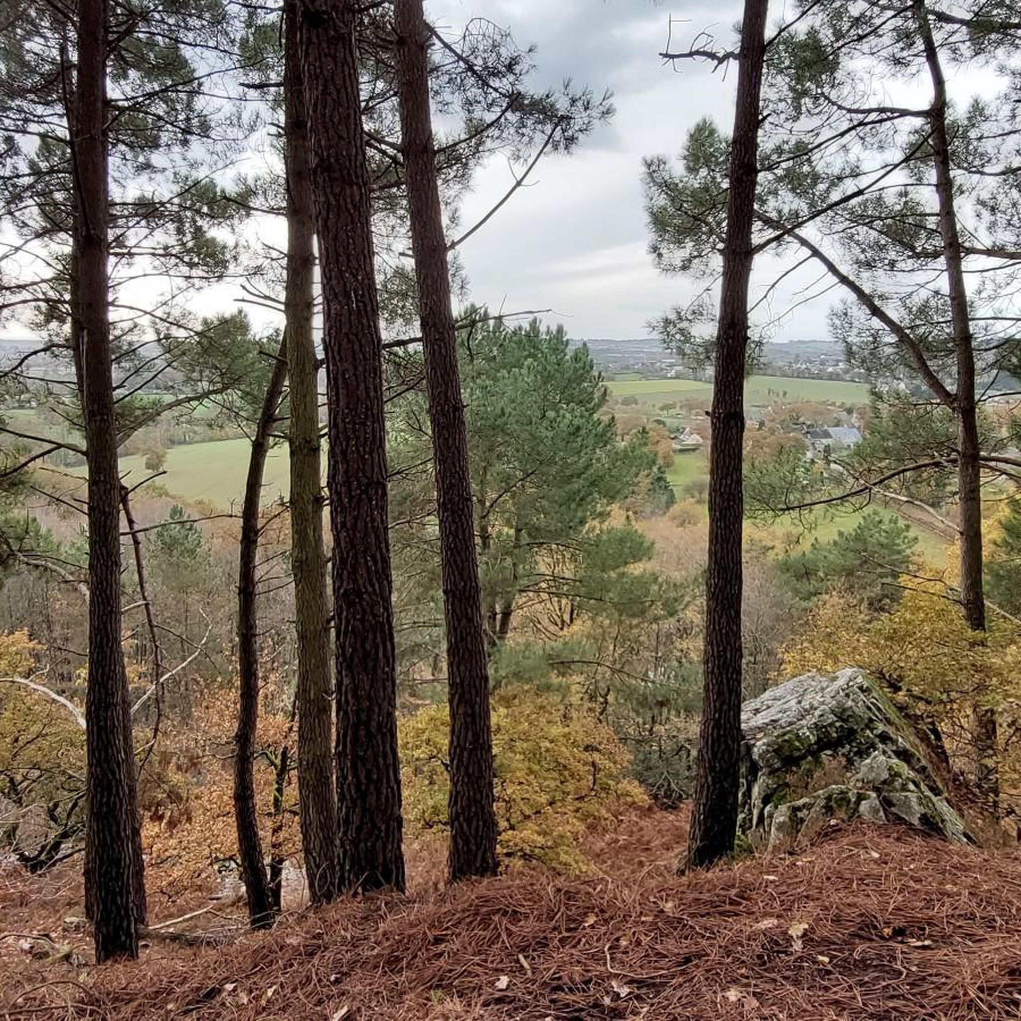
Hiking around Poligné offers a network of trails through varied terrain, characterized by woodlands and gentle elevations. The region features several viewpoints, providing vistas over the surrounding landscape. These routes cater to different fitness levels, from easy strolls to more challenging hikes. Poligné's natural environment provides opportunities for outdoor exploration.
Best hiking trails around Poligné
- The most popular hiking route is Belvedere loop from Poligné, a 3.1 miles (5.0 km) trail that takes 1 hour 21 minutes to complete.…
Last updated: August 14, 2026
4.8
(4)
26
hikers
6.23km
01:47
140m
140m
Easy hike. Great for any fitness level. Easily-accessible paths. Suitable for all skill levels.
5.0
(1)
8
hikers
5.03km
01:21
60m
60m
Easy hike. Great for any fitness level. Easily-accessible paths. Suitable for all skill levels.
2
hikers
7.71km
02:09
150m
150m
Moderate hike. Good fitness required. Easily-accessible paths. Suitable for all skill levels.
Get access to more routes and recommendations from other explorers.
Sign up for free
Already have an account?
Our route recommendations are based on thousands of hikes, rides, and runs completed by other people on komoot.
Start today with a free account
Your next adventure awaits.
Login or Signup

Frequently Asked Questions
How many hiking trails are available around Poligné?
There are over 180 hiking routes in the Poligné area, offering a wide variety of options for different preferences and fitness levels.
What kind of terrain can I expect when hiking around Poligné?
The hiking trails around Poligné are characterized by varied terrain, including woodlands and gentle elevations. Many routes offer viewpoints providing vistas over the surrounding landscape, and you'll often traverse open countryside.
Are there easy hiking options for beginners or families in Poligné?
Yes, Poligné offers numerous easy hikes suitable for beginners or families. For example, the Belvedere loop from Poligné is an easy 3.1-mile (5.0 km) circular walk with scenic views. Another gentle option is the Forêt du Tertre Gris loop from Poligné, which is 1.5 miles (2.4 km) long.
Are there any circular walks available in Poligné?
Yes, many routes in Poligné are circular. A popular choice is the Belvedere loop from Poligné, an easy 3.1-mile (5.0 km) trail. Another option is the moderate Hiking loop from Poligné, which covers 5.2 miles (8.4 km) through the local countryside.
What are some challenging hikes around Poligné?
For those seeking a more challenging experience, the Croix des jeunes – Rocher d'Uzel loop from Poligné is a difficult 17.8-mile (28.7 km) route with significant elevation changes, typically taking over 7 hours to complete.
What do other hikers enjoy most about hiking in Poligné?
The hiking routes in Poligné are highly rated by the komoot community, with an average score of 4.5 stars from over 320 reviews. Hikers often praise the varied terrain, the quiet woodlands, and the scenic viewpoints found along the trails.
Are there any interesting landmarks or attractions to see along the hiking trails in Poligné?
Yes, you can discover several points of interest. The Uzel Rock is a notable natural feature. You might also encounter historical sites like the Saint-Maximilien-Kolbé Church or the Moulin de la Bouëxière (mill) on your walks.
What is the best time of year to hike in Poligné?
Poligné's trails are generally enjoyable throughout the year. Spring and autumn offer pleasant temperatures and beautiful scenery with blooming flowers or vibrant foliage. Summer is also suitable, though it can be warmer, while winter provides a different, often quieter, hiking experience.
Are there any hikes with good viewpoints in Poligné?
Many routes in Poligné feature excellent viewpoints. The Belvedere loop from Poligné is specifically known for its scenic vistas from the belvedere. The Belvedere loop from Pancé also includes elevated sections that offer expansive views.
What is the typical duration for hikes in Poligné?
Hiking durations in Poligné vary significantly depending on the route's length and difficulty. Easy walks like the Belvedere loop from Poligné can take around 1 hour 20 minutes, while moderate trails such as the Hiking loop from Poligné might take over 2 hours. Longer, more difficult routes can extend to 7 hours or more.
Are there any trails that pass through forests or woodlands?
Yes, the region around Poligné is characterized by woodlands. The Forêt du Tertre Gris loop from Poligné is a prime example, taking you directly through forested areas. Many other routes also weave through sections of the local woods.
Most popular attractions around Poligné

Get inspired with the komoot mobile app


Explore more
Browse the best Hikes in other regions.
