The best walks and hikes around Gilley
4.4
(309)
1,764
hikers
111
hikes
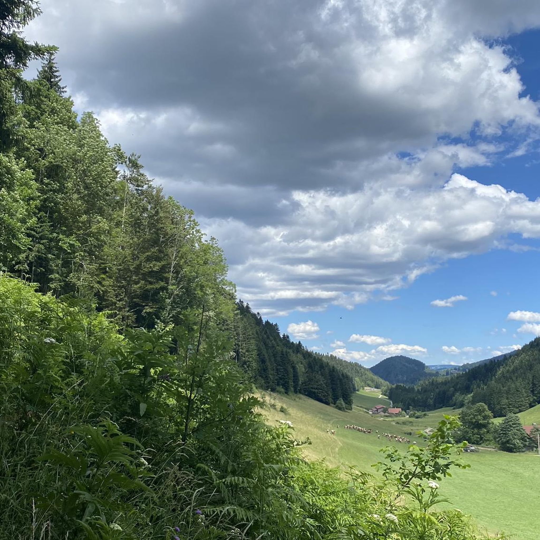
Hiking around Gilley traverses a landscape characterized by rolling hills, dense forests, and serene ponds. The region features a network of paths that lead through varied terrain, including wooded areas and open clearings. Hikers can expect moderate elevation changes across its numerous routes, with several trails exploring local crests and passes.
Best hiking trails around Gilley
- The most popular hiking route is Le Crêt Monniot — loop from la Chaux, a 5.0 miles (8.1 km) trail that takes 2…
Last updated: October 12, 2026
3.5
(4)
14
hikers
8.08km
02:27
280m
280m
Moderate hike. Good fitness required. Mostly accessible paths. Sure-footedness required.
4.1
(7)
45
hikers
3.62km
01:03
90m
90m
Easy hike. Great for any fitness level. Easily-accessible paths. Suitable for all skill levels.

5.0
(3)
18
hikers
11.0km
02:53
90m
90m
Moderate hike. Good fitness required. Easily-accessible paths. Suitable for all skill levels.
6
hikers
13.8km
04:03
270m
270m
Moderate hike. Good fitness required. Mostly accessible paths. Sure-footedness required.
2
hikers
14.8km
04:18
290m
290m
Moderate hike. Good fitness required. Mostly accessible paths. Sure-footedness required.
Get access to more routes and recommendations from other explorers.
Already have an account?
Our route recommendations are based on thousands of hikes, rides, and runs completed by other people on komoot.
Start today with a free account
Your next adventure awaits.

Other adventures around Gilley

Tips from the Community

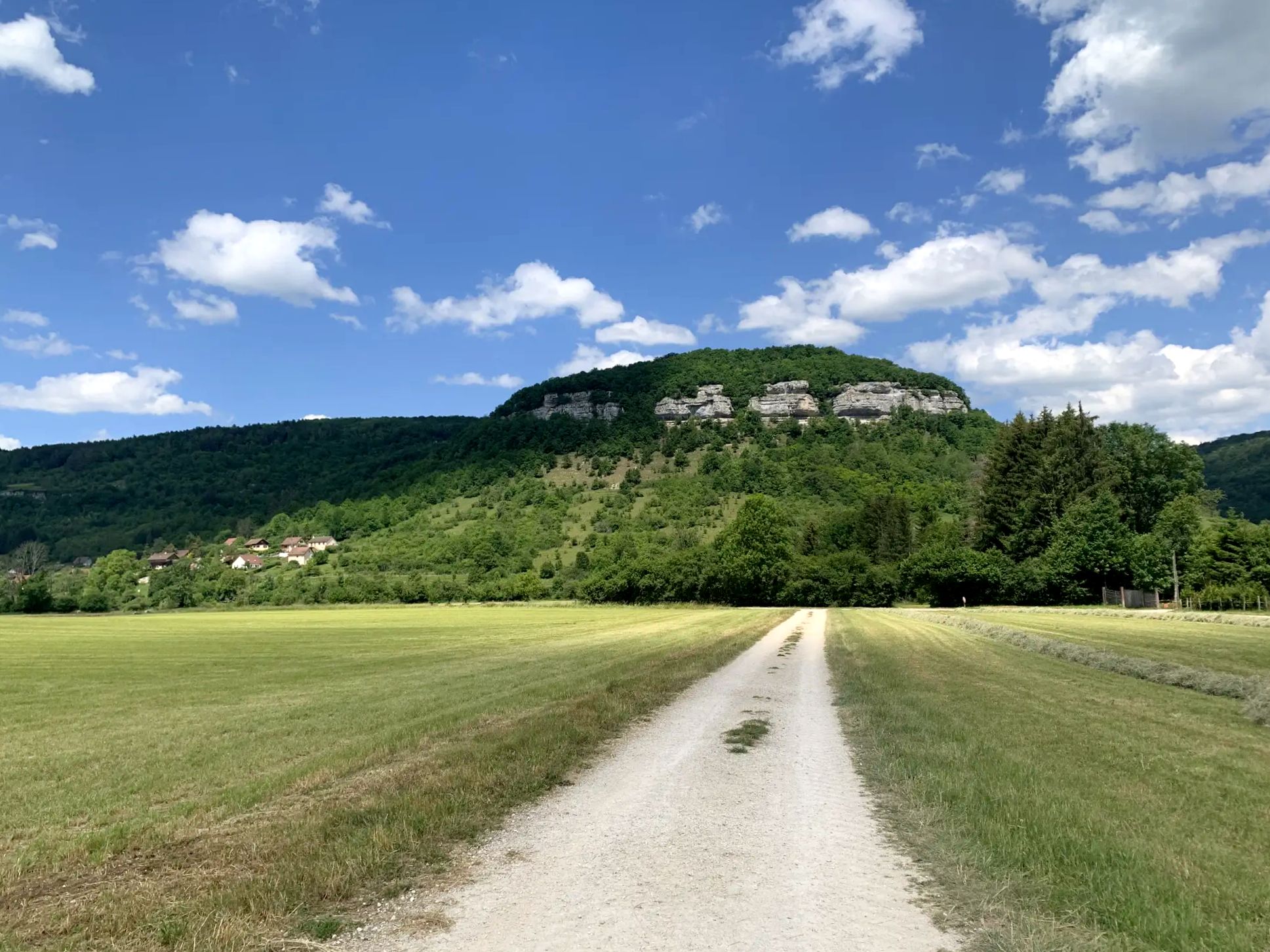
Crêt Monniot is a soft and extended summit, covered with pastures and offering panoramic views of the surroundings. Its gentle and even slopes make it an ideal place for kites and a destination for snowshoes in winter.
2
0

Fishing private area, nice to do a short round walk
0
0
Frequently Asked Questions
How many hiking trails are available around Gilley?
Gilley offers a wide selection of hiking opportunities, with over 100 distinct routes to explore. These trails traverse a landscape of rolling hills, dense forests, and serene ponds, providing varied experiences for all hikers.
What types of trails can I expect in Gilley?
The trails around Gilley are characterized by forested paths, rolling hills, and scenic pond areas. You'll find a mix of easy strolls and more challenging ascents, with moderate elevation changes across many routes. The region is known for its tranquil natural environment.
Are there easy hiking options for beginners or families in Gilley?
Yes, Gilley has a good selection of easier trails. Approximately one-third of the routes are rated as easy, making them suitable for beginners or families looking for a less strenuous outing. These often lead through gentle forested sections or around tranquil ponds.
Are there any circular hiking routes in Gilley?
Many of the trails around Gilley are designed as circular routes, allowing you to start and end at the same point. For example, the Wooden Picnic Table – Étang du Cougne loop from Gilley is a moderate 11.0 km path that circles a tranquil pond, and the Le Crêt Monniot — loop from la Chaux is another popular loop ascending to a local crest.
What natural attractions can I see while hiking near Gilley?
The Gilley area is rich in natural beauty. You can explore several picturesque lakes, such as Lake Taillères, or enjoy stunning vistas from viewpoints like Mont Vouillot Viewpoint and Roche Barchey viewpoint. The region also features unique rock formations within the Parc naturel régional du Doubs Horloger.
What is the best time of year to go hiking in Gilley?
Gilley's landscape of forests and rolling hills makes it enjoyable for hiking across multiple seasons. Spring and autumn offer pleasant temperatures and vibrant scenery, while summer provides longer daylight hours. Winter hiking is also possible, though conditions may vary and require appropriate gear.
What do other hikers say about the trails in Gilley?
The hiking routes in Gilley are highly regarded by the komoot community, holding an impressive average rating of 4.5 stars from over 230 reviews. Hikers often praise the serene natural environment, the well-maintained paths, and the variety of terrain that caters to different skill levels.
Are there any specific trails that offer good views?
Many trails in Gilley provide scenic overlooks, particularly those that ascend to local crests or mountain passes. The Le Crêt Monniot — loop from la Chaux, for instance, offers views of the surrounding area from its highest point. Additionally, specific viewpoints like View of Lake Tallières are accessible via hiking paths.
How long do hikes in Gilley typically take?
Hike durations in Gilley vary widely depending on the route's length and difficulty. For example, a moderate trail like Le Crêt Monniot — loop from la Chaux, which is 8.1 km, typically takes around 2 hours and 27 minutes. Longer routes, such as the 12.2 km Col du Tounet (965 m) – Col Tounet loop from Col du Tonet, can take approximately 3 hours and 23 minutes.
Are there any challenging hikes for experienced hikers in Gilley?
While Gilley is known for its moderate and easy trails, there are a few more challenging options for experienced hikers. The region features routes with more significant elevation gains and longer distances, particularly those exploring mountain passes and higher crests. There are 4 trails rated as difficult in the area.
What kind of landscape defines the Gilley hiking experience?
The hiking experience in Gilley is defined by its diverse natural setting. You'll traverse rolling hills, dense, tranquil forests, and discover serene ponds. The trails often lead through varied terrain, including wooded areas and open clearings, with moderate elevation changes that add interest to your journey.
Most popular attractions around Gilley

Get inspired with the komoot mobile app


Explore more
Browse the best Hikes in other regions.
