The best walks and hikes around Reugney
4.5
(657)
3,615
hikers
93
hikes
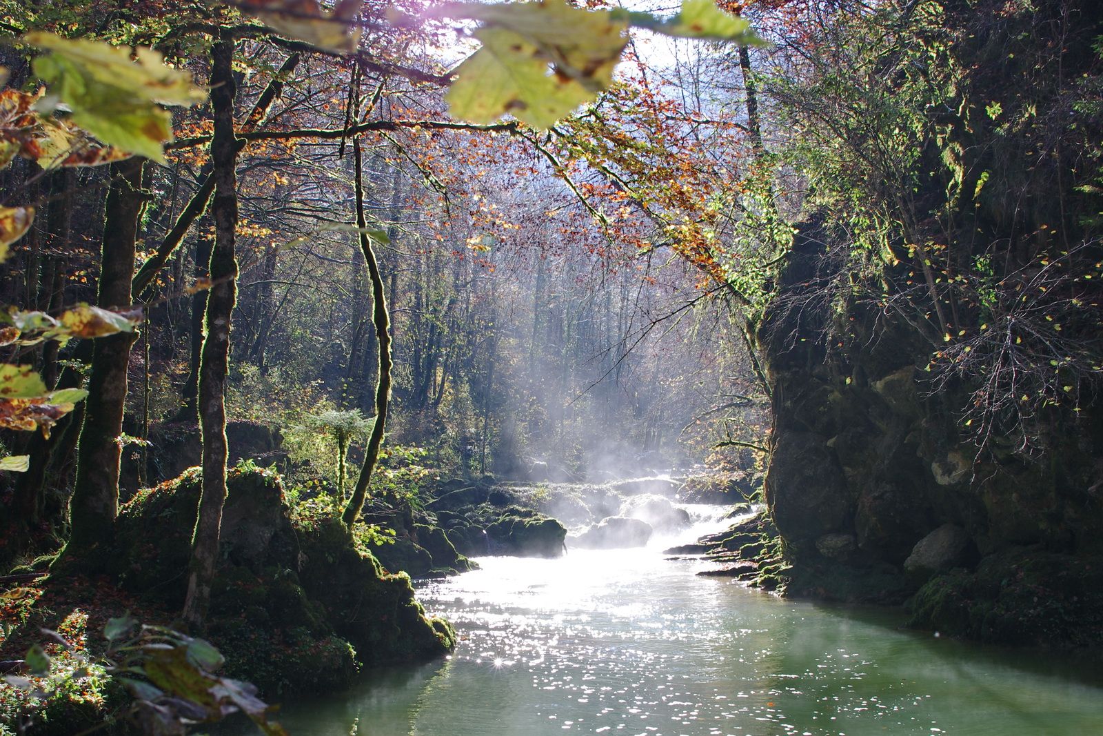
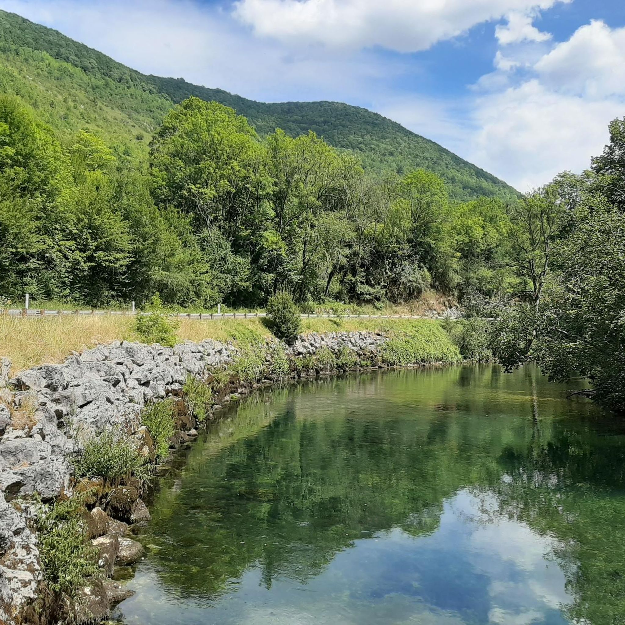
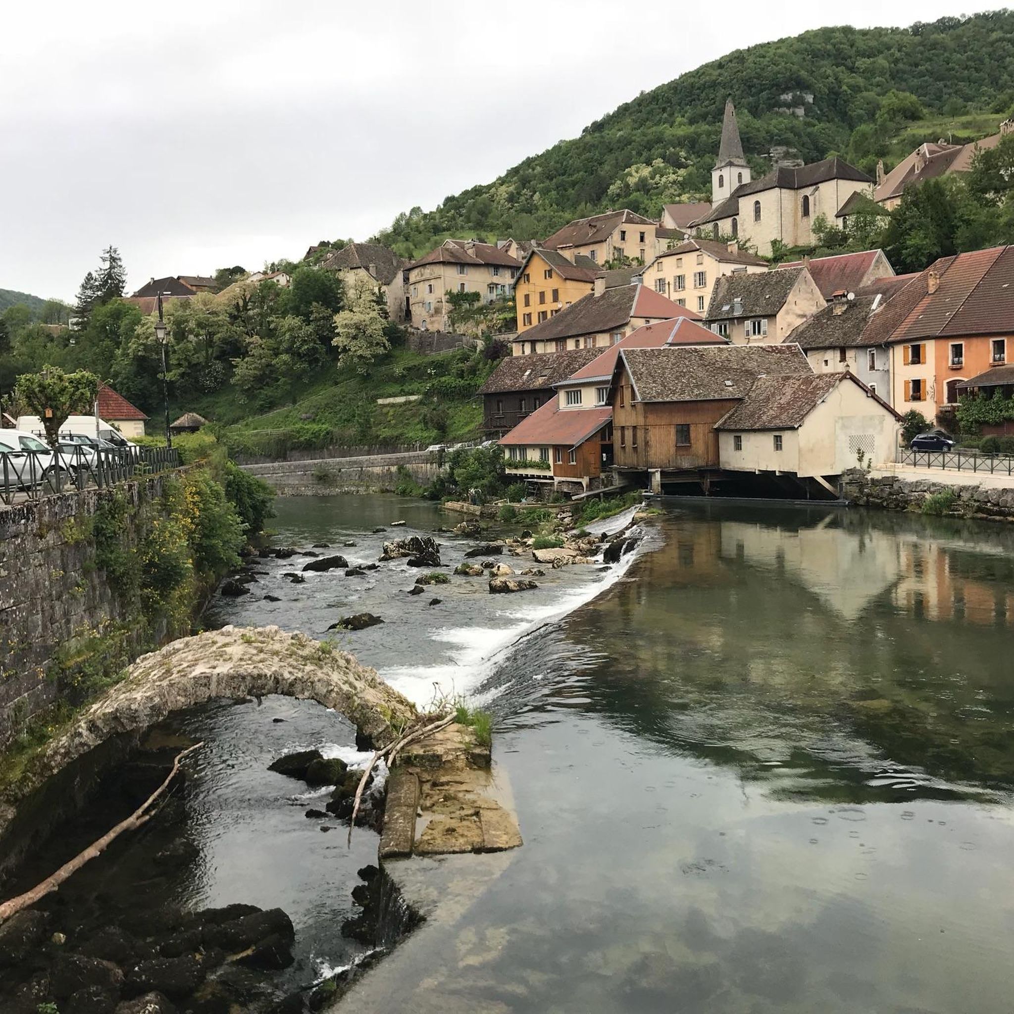
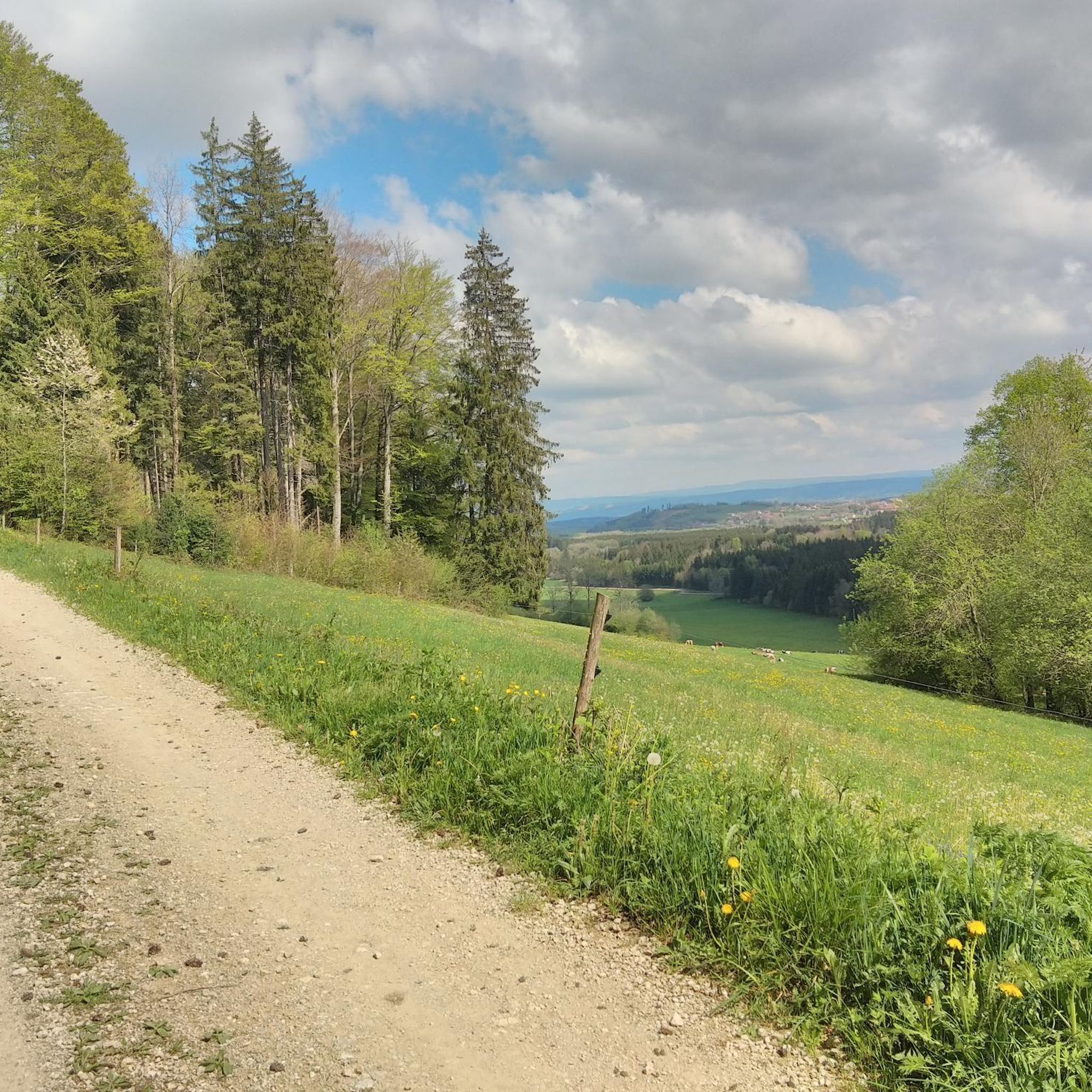
Hiking around Reugney, located in the Doubs department, offers diverse landscapes within the Jura Mountains. The region features elevated points like Le Tan, providing panoramic views of the lower Jura plateaus. Hikers can explore a network of trails through forests, along rivers, and past notable natural features such as gorges and waterfalls. The terrain varies from verdant forests to open fields, with some routes leading to impressive geological formations.
Best hiking trails around Reugney
- The most popular hiking route is…
Last updated: July 6, 2026
4.8
(8)
40
hikers
11.0km
03:26
410m
410m
Moderate hike. Good fitness required. Easily-accessible paths. Suitable for all skill levels.
4.0
(2)
11
hikers
15.1km
04:13
290m
290m
Moderate hike. Good fitness required. Easily-accessible paths. Suitable for all skill levels.

Sign up for free
6
hikers
7.41km
02:04
140m
130m
Moderate hike. Good fitness required. Easily-accessible paths. Suitable for all skill levels.
4
hikers
4.51km
01:15
80m
80m
Easy hike. Great for any fitness level. Easily-accessible paths. Suitable for all skill levels.
5
hikers
11.6km
03:18
250m
250m
Moderate hike. Good fitness required. Easily-accessible paths. Suitable for all skill levels.
Get access to more routes and recommendations from other explorers.
Sign up for free
Already have an account?
Our route recommendations are based on thousands of hikes, rides, and runs completed by other people on komoot.
Start today with a free account
Your next adventure awaits.
Login or Signup


Other adventures around Reugney

Tips from the Community

Road + gravel section. Breathtaking view
0
0

Very beautiful viewpoint. Accessible by bike from Reugney.
0
0

I wonder how deep it goes? The entrance isn't that easy to find.
0
0

Belvedere at the end of the cliff, accessible by road bike. With its 300 meters of void, you can admire a superb panorama over the entire Loue valley and its villages. A round trip that is worth a look.
0
0

Bolandoz is a small, typical village in France-Comté. While passing there, remember to stop in front of the old wash house. Benches sheltered from the sun (or rain) are there, and can therefore represent a nice spot for a picnic. The small chapels at the entrance and exit of the village are also worth a look. At the exit (direction Montmahoux) don't miss the aptly named Notre-Dame des Aventures.
0
0

Bolandoz is a small typical village of France-Comté. As you pass by, remember to stop in front of the old washhouse. Benches sheltered from the sun (or rain) are there, and can thus represent a nice spot for a picnic. The small chapels at the entrance and exit of the village are also worth a look. At the exit (direction Montmahoux) do not miss the aptly named Notre-Dame des Aventures.
2
0
It's an understatement to say that we never tire of the viewpoints in the area. This gives a particularly clear view of the valley. If you missed the previous one, here's a great catch-up session to enjoy the view from the cliffs.
1
0
Frequently Asked Questions
How many hiking trails are available around Reugney?
There are nearly 100 hiking trails around Reugney, catering to various skill levels. You'll find approximately 25 easy routes, 55 moderate paths, and 16 more challenging trails, offering a diverse range of experiences in the Jura Mountains.
What kind of natural features can I expect to see on hikes near Reugney?
Hiking around Reugney offers a rich tapestry of natural features. You can expect to encounter impressive gorges, such as the Gorges de Noailles, which leads to a dramatic cave, and numerous waterfalls like the Cascade du Dard. The region is also known for its karstic formations, including accessible caves like the Source du Pontet, and stunning panoramic viewpoints from elevated spots like Le Tan, offering views of the lower Jura plateaus and sometimes even Mont Blanc.
Are there any family-friendly hiking options in Reugney?
Yes, Reugney offers several family-friendly hiking options. Many trails are suitable for different fitness levels, including gentle routes through flower-filled meadows and less strenuous paths. For an easy and scenic walk, consider the Source Bleu loop from Châteauvieux-les-Fossés, which is just under 6 km and takes about 2 hours to complete.
Can I bring my dog on the hiking trails around Reugney?
Many trails in the Reugney area are dog-friendly, allowing you to explore the natural beauty with your canine companion. However, it's always recommended to keep dogs on a leash, especially in nature reserves or areas with livestock, and to check specific trail regulations before you go.
Are there any circular hiking routes available?
Yes, the region around Reugney features several excellent circular hiking routes. One popular option is the Monk's Viewpoint – White Limestone Cliffs loop from Longeville, a moderate 11 km trail that provides great views over the surrounding plateaus and through forested areas. Another is the Bolandoz – Gouffre de la Crête de Malvaux loop from Bolandoz, a 15 km moderate path exploring local landscapes and geological features.
What are some notable viewpoints or landmarks to look out for?
The Reugney area is rich in viewpoints and natural landmarks. From Le Tan, you can enjoy superb panoramic views. Other notable spots include the Renédale Viewpoint and the View of Roche Bottine. You might also encounter the impressive White Limestone Cliffs or the unique Le Bonnet formation.
What is the best time of year to go hiking in Reugney?
The best time to go hiking in Reugney is typically from spring through autumn. During these seasons, the weather is generally pleasant, and the landscapes are vibrant, with lush forests and blooming meadows. Autumn offers particularly beautiful scenery with changing foliage. While winter hiking is possible, some trails may be challenging due to snow and ice.
What do other hikers enjoy most about hiking in Reugney?
The hiking trails around Reugney are highly rated by the komoot community, with an average score of 4.6 stars from over 580 reviews. Hikers often praise the diverse landscapes, from verdant forests to open fields, and the stunning panoramic views from elevated points. The variety of trails, catering to different abilities, is also frequently highlighted.
Are there any longer, more challenging hikes for experienced hikers?
Yes, for experienced hikers seeking a challenge, Reugney offers several difficult routes. These paths often feature steeper ascents and descents, leading to breathtaking valley views and more remote natural sites. There are 16 difficult trails in the area, providing ample opportunity for a more strenuous adventure.
Are there any hikes that follow rivers or lead to lakes?
The region around Reugney is characterized by its proximity to several rivers and lakes. You can find scenic routes along the Loue and Lison valleys, and the Doubs River itself. While not directly adjacent to Reugney, the broader Doubs region features picturesque lakes like Lac du Fioget, Lac de Narlay, and the large Lake Saint-Point, offering additional natural beauty to explore.
Is there public transport available to access hiking trails?
While Reugney is a rural area, public transport options might be limited for direct access to all trailheads. It's advisable to check local bus schedules for connections to nearby villages. Many hikers prefer to use personal vehicles, and parking is generally available near popular starting points for trails.
Most popular attractions around Reugney

Get inspired with the komoot mobile app


Explore more
Browse the best Hikes in other regions.
