The best MTB trails around Nurieux-Volognat
4.4
(131)
805
riders
110
rides
Mountain bike trails around Nurieux-Volognat are situated within the Haut-Bugey region of the Jura Mountains, offering diverse landscapes for cycling. The terrain features a mix of woodlands, pastures, and varied elevations, ranging from 300 to 1,500 meters. Riders can expect a combination of uphill climbs, rolling sections, and technical descents through forests. The area is characterized by its natural features, including lakes and limestone cliffs, providing a varied backdrop for mountain biking.
Best mountain bike trails around Nurieux-Volognat
- The most…
Last updated: July 11, 2026
5.0
(1)
10
riders
36.3km
03:58
1,120m
1,120m
Hard mountain bike ride. Very good fitness required. Advanced riding skills necessary. Some portions of the route may require you to push your bike.
5.0
(1)
9
riders
38.1km
02:57
710m
710m
Hard mountain bike ride. Good fitness required. Advanced riding skills necessary. Some portions of the route may require you to push your bike.

Sign up for free
5.0
(1)
11
riders
31.9km
02:54
630m
630m
Moderate mountain bike ride. Good fitness required. Suitable for all skill levels.
4.8
(5)
9
riders
36.9km
02:50
440m
440m
Moderate mountain bike ride. Good fitness required. Suitable for all skill levels.
5.0
(1)
8
riders
33.2km
02:31
530m
530m
Moderate mountain bike ride. Good fitness required. Suitable for all skill levels.
Get access to more routes and recommendations from other explorers.
Sign up for free
Already have an account?
Our route recommendations are based on thousands of hikes, rides, and runs completed by other people on komoot.
Start today with a free account
Your next adventure awaits.
Login or Signup

Tips from the Community

Beautiful, simple, easy walk; lots of traffic noise on the "road" section, a bit of a shame, but the color of the water is magical
1
0

This trail has a lot of stones and rock slabs (be careful of slipping!). There are also a few roots at times. Otherwise, the gradient is generally reasonable, except for a brief section of switchbacks that crosses a rockfall zone (a few meters of pushing is expected for most mountain bikers).
0
0
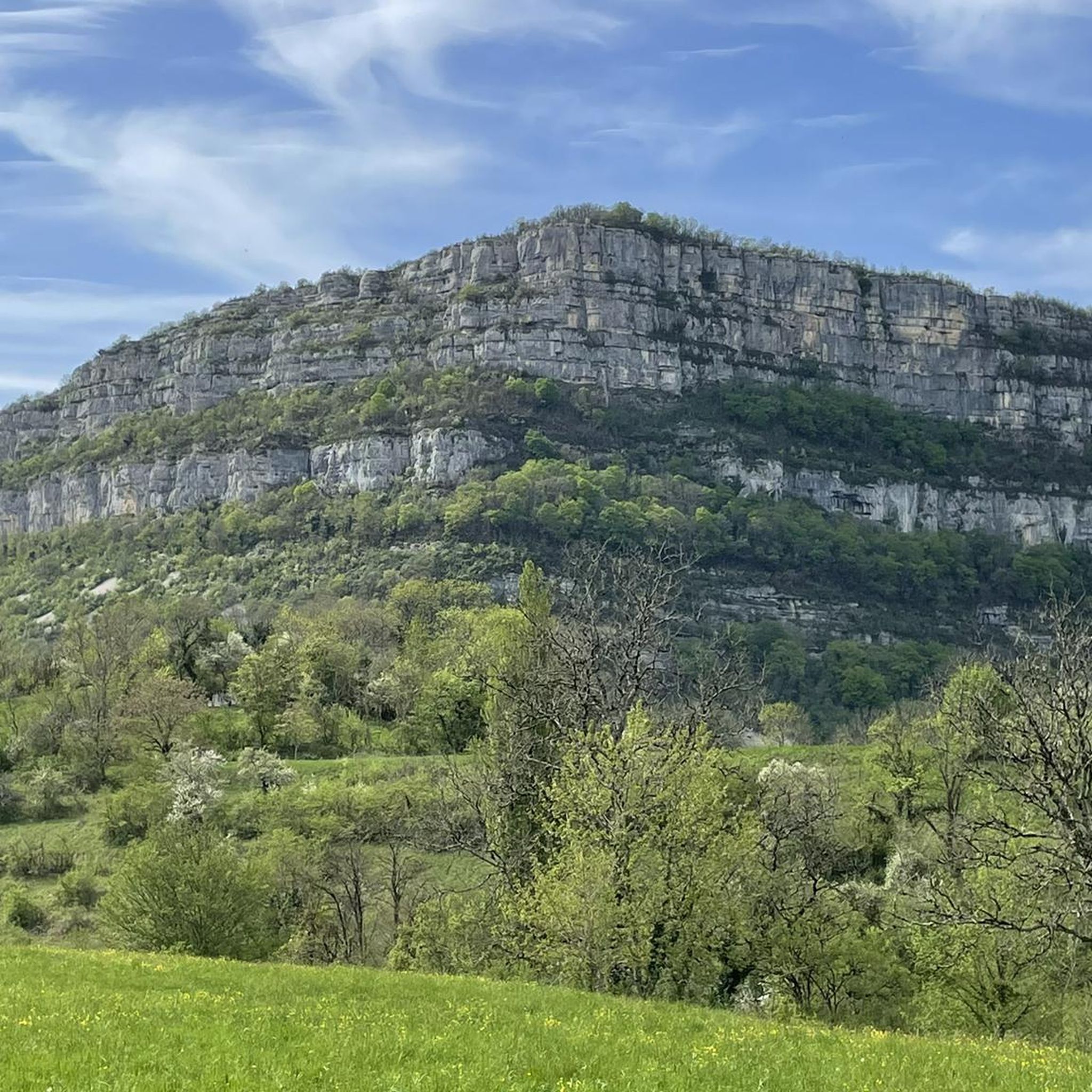
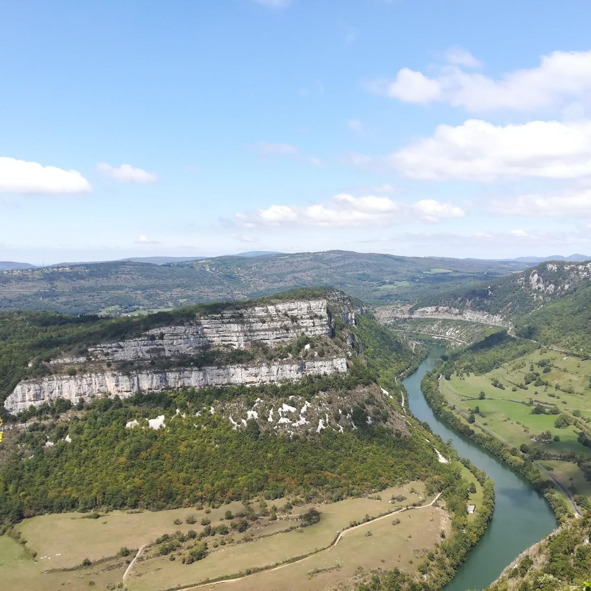
A typical Jura ridge trail: cliff on one side, forest on the other, sharp rocks and large roots peeking out, and constant steep sections (uphill and downhill). It's not the worst I've seen: aside from the steep sections, no section is technically impossible for an experienced mountain biker. The view of the Grand Crêt d'Eau, the Crêt de Chalam, and the Haut-Jura is also pretty good.
0
0

Unfortunately I was unlucky with the weather, but even as I drove past the place looked very nice, lots of grass and a place to swim.
0
0

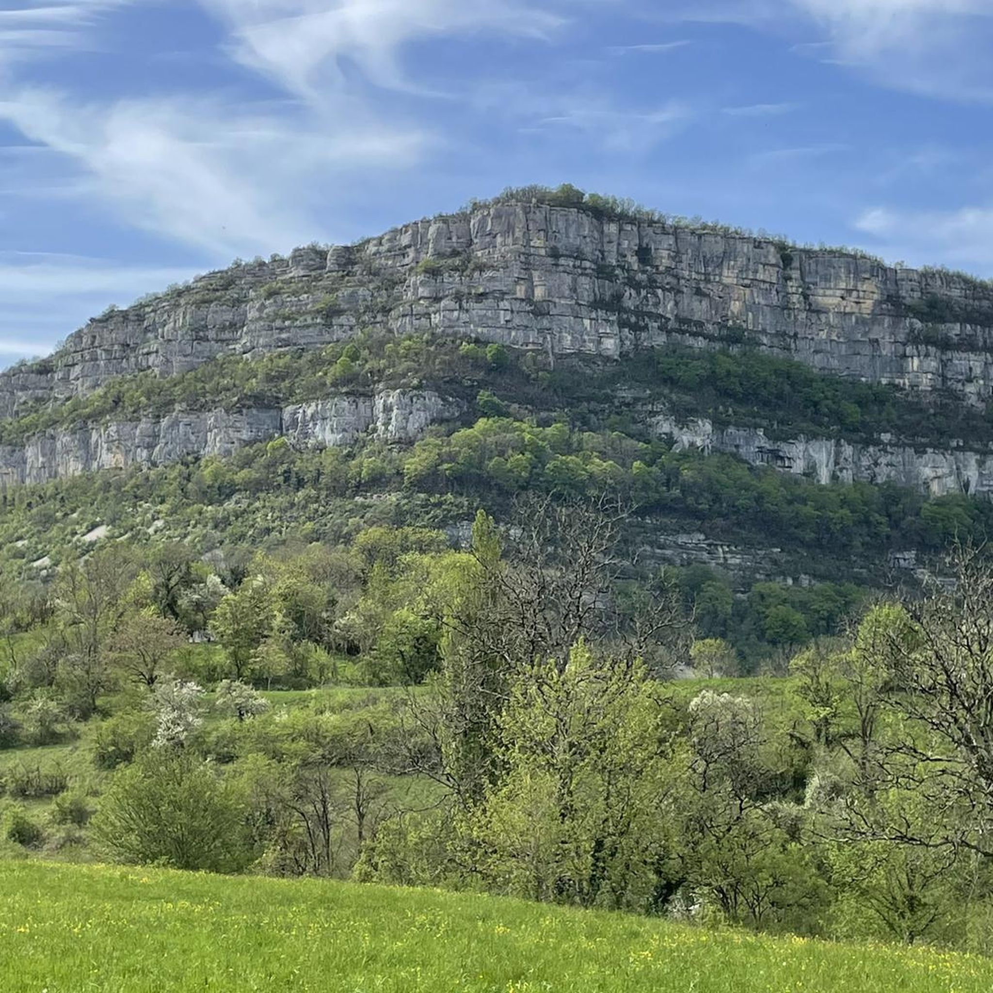
Impressive rock above Mantua
0
0

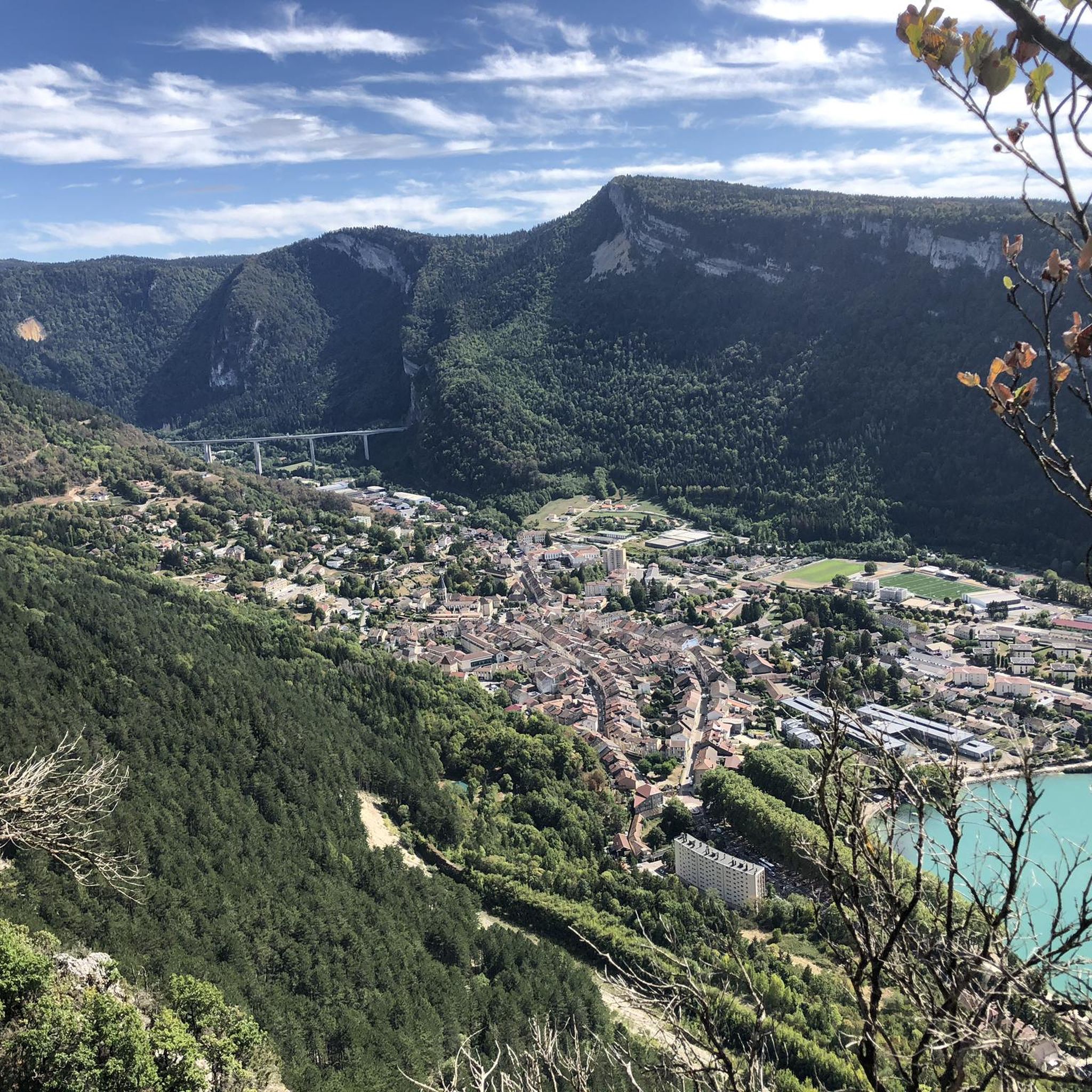
Natural jewel, sapphire blue or emerald green waters, nautical activities.
1
0

a beautiful view
0
0

The northern part of the lake borders the village of Port.
2
1
Frequently Asked Questions
How many mountain bike trails are available around Nurieux-Volognat?
There are over 100 mountain bike trails around Nurieux-Volognat, catering to various skill levels. This includes 16 easy, 61 moderate, and 25 difficult routes, offering a wide range of options for riders.
What kind of terrain can I expect on mountain bike trails in Nurieux-Volognat?
The terrain around Nurieux-Volognat, nestled in the Haut-Bugey region of the Jura Mountains, is diverse. You can expect a mix of woodlands, pastures, and varied elevations ranging from 300 to 1,500 meters. Trails feature uphill climbs, rolling sections, and technical descents through deep woods. Some routes, like the View of the Colonne de Nantua – Lake Nantua loop, include significant elevation gain and panoramic views.
Are there any family-friendly mountain bike trails in the area?
Yes, Nurieux-Volognat offers several family-friendly options. There are 16 easy routes that are suitable for families or beginners looking for a less challenging ride. These trails often pass through woodlands and offer a gentler introduction to mountain biking in the region.
What natural features or landmarks can I see while mountain biking?
The region is rich in natural beauty. You can encounter stunning features like Lake Nantua, known for its clear waters and limestone cliffs. Other notable natural attractions include the Cascade de la Pisse Vache waterfall, the Cerdon Caves, and the Dinosaur Footprints of Villette. The impressive Cize-Bolozon Viaduct is also a notable man-made landmark within the natural scenery.
Are there any circular mountain bike routes available?
Many of the mountain bike trails around Nurieux-Volognat are circular, offering convenient starting and ending points. For example, the moderate Lake Nantua – Lake Nantua loop from Brion - Montréal-la-Cluse is a popular circular route, as is the Champ Dolan – Col du Berthiand loop from Nurieux.
What is the best time of year for mountain biking in Nurieux-Volognat?
Mountain biking in Nurieux-Volognat is generally enjoyable year-round, though conditions vary. Spring and autumn offer pleasant temperatures and vibrant scenery. While trails can be muddy after rain, the varied collection of routes means there's usually something suitable. Winter transforms the landscape, with options for snowshoeing and ice skating around Lake Genin, but mountain biking might be limited by snow and ice.
Can I bring my dog on the mountain bike trails?
While many trails in natural areas are dog-friendly, it's always best to check specific regulations for each route or protected area. The region emphasizes ecological preservation, especially around sensitive natural areas like Lake Genin. Ensure your dog is well-behaved, kept on a leash where required, and that you clean up after them to respect the local environment and other trail users.
Are there challenging routes for experienced mountain bikers?
Yes, experienced mountain bikers will find plenty of challenging routes. The area features 25 difficult trails, including those with significant elevation gains and technical descents. The View of the Colonne de Nantua – Lake Nantua loop is a difficult 37.5 km path with over 1100 meters of elevation gain, offering a demanding ride and panoramic views.
What do other mountain bikers say about the trails in Nurieux-Volognat?
The mountain bike trails around Nurieux-Volognat are highly rated by the komoot community, with an average score of 4.4 stars from over 100 reviews. More than 800 mountain bikers have explored the varied terrain using komoot, often praising the diverse landscapes, deep woods, scenic lakes, and the mix of climbs and descents.
Are there any specific long-distance mountain biking routes in the wider Jura Mountains?
Yes, Nurieux-Volognat is situated within the broader Jura Mountains, which is home to the significant 'Grande Traversée du Jura VTT'. The section of this route in the Ain department offers wilder and more aerial trails, including climbs like the Crêt du Nu and approaches to the Col du Grand Colombier, showcasing the massif's grandeur for those seeking longer adventures.
Where can I find information about parking or public transport access for mountain biking?
While specific parking details vary by trailhead, many routes around Nurieux-Volognat are accessible by car, with designated parking areas often available near popular starting points. For public transport, it's advisable to check local bus or train schedules to nearby towns like Nurieux or Brion - Montréal-la-Cluse, and then plan your route accordingly. Some trails, like the Brown Ponds – Lake Nantua loop, start from areas with potential access points.
Are there any places to eat or stay near the mountain bike trails?
Nurieux-Volognat and the surrounding Haut-Bugey region offer various amenities. You can find local cafes and restaurants in nearby villages to refuel after your ride. Accommodation options, ranging from guesthouses to hotels, are also available, particularly around scenic spots like Lake Genin or Lake Nantua, providing convenient bases for exploring the trails.
Most popular routes around Nurieux-Volognat
Most popular attractions around Nurieux-Volognat

Get inspired with the komoot mobile app


Explore more
Browse the best MTB trails in other regions.
