The best running trails around Lamontélarié
4.3
(11)
761
runners
76
runs
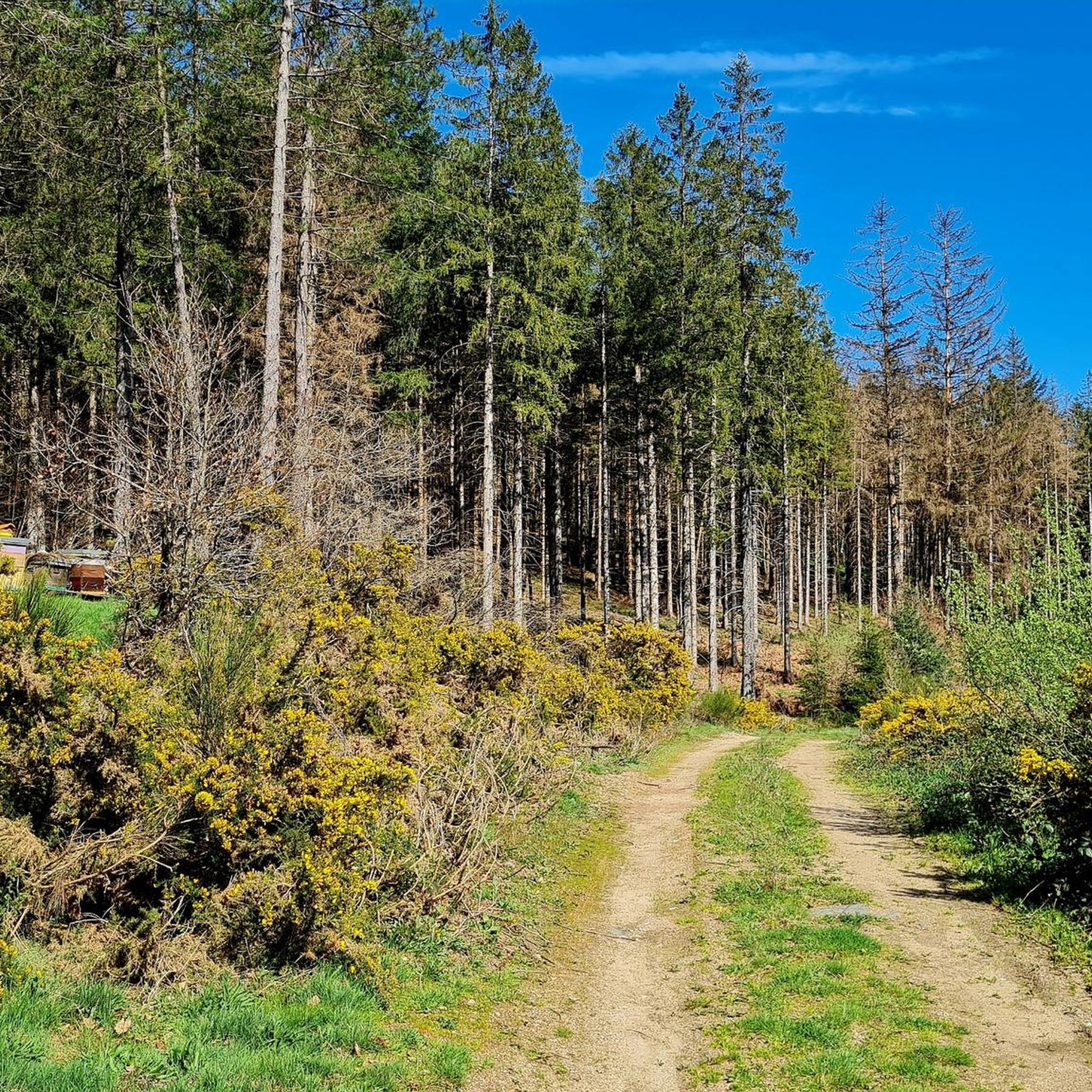
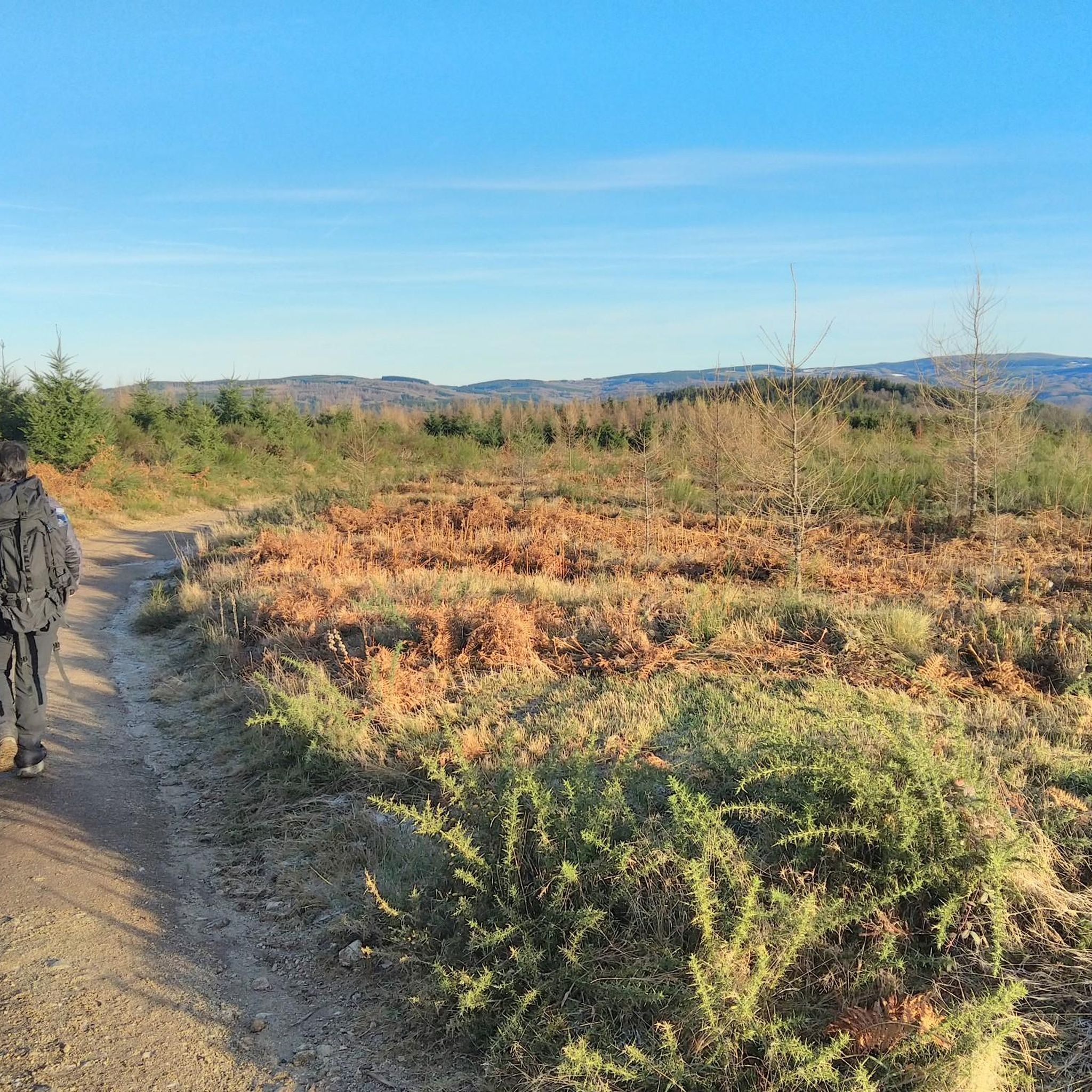
Jogging around Lamontélarié offers diverse terrain within the Haut-Languedoc Regional Natural Park. The region features extensive deciduous and coniferous forests, vast prairies, and mountainous areas providing varied elevation changes. Joggers can explore trails offering views of Lac de la Raviège and pass through ecologically rich wetlands and peat bogs. Clear rivers and streams also wind through the landscape, contributing to the natural environment for outdoor pursuits.
Best jogging routes around Lamontélarié
- The most popular jogging route is Running loop from…
Last updated: June 29, 2026
32
runners
4.57km
00:31
70m
70m
Easy run. Great for any fitness level. Mostly paved surfaces. Suitable for all skill levels.
27
runners
11.6km
01:26
300m
300m
Hard run. Very good fitness required. Mostly paved surfaces. Suitable for all skill levels.

Sign up for free
11
runners
Moderate run. Good fitness required. Mostly paved surfaces. Suitable for all skill levels.
10
runners
12.3km
01:21
180m
180m
Moderate run. Good fitness required. Mostly paved surfaces. Suitable for all skill levels.
10
runners
6.42km
00:43
120m
120m
Moderate run. Good fitness required. Mostly paved surfaces. Suitable for all skill levels.
Get access to more routes and recommendations from other explorers.
Sign up for free
Already have an account?
Our route recommendations are based on thousands of hikes, rides, and runs completed by other people on komoot.
Start today with a free account
Your next adventure awaits.
Login or Signup

Tips from the Community

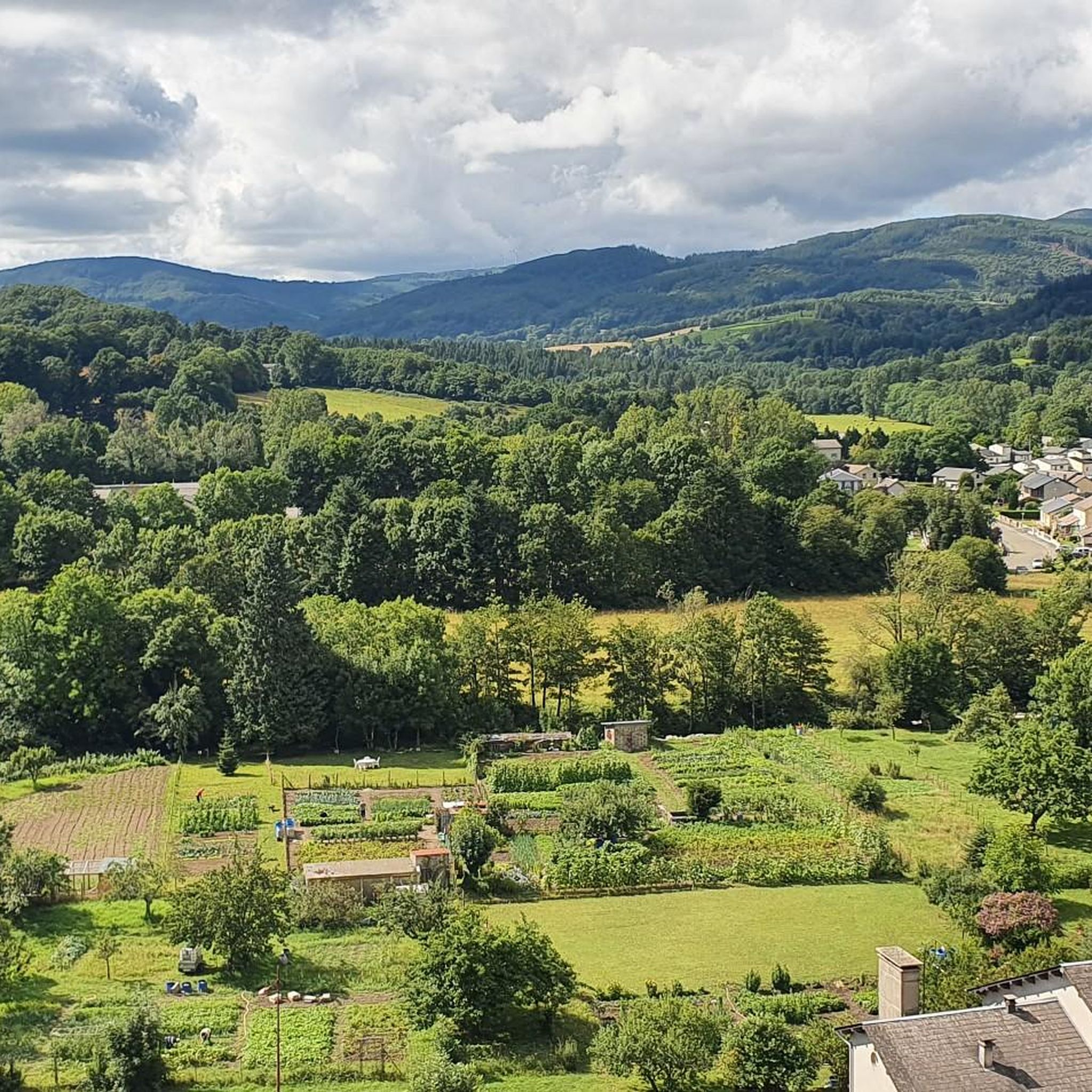
Vast reservoir of Haut-Languedoc, the Raviège offers a landscape mixing water, forests and hills. A peaceful setting, punctuated by beautiful openings onto the water body from the surrounding roads.
0
0

Large lake 12 kilometers long, straddling the departments of Hérault and Tarn. Leisure centers and beaches accessible for swimming. A 28 km mountain bike loop allows you to go around the lake.
1
0

The Lac de la Raviège is an artificial lake of 438 hectares and 12 kilometers long straddling the Tarn and the Hérault! Nice rest spot!
0
0
Frequently Asked Questions
How many running routes are available around Lamontélarié?
There are over 70 running routes around Lamontélarié, offering a wide range of options for all skill levels. This includes 2 easy routes, 46 moderate routes, and 30 difficult routes, ensuring there's a trail for every runner.
Are there any easy jogging routes suitable for beginners in Lamontélarié?
Yes, Lamontélarié offers easy jogging routes perfect for beginners or those looking for a gentle run. A popular choice is the Running loop from La Salvetat-sur-Agout, which is 4.6 km long and takes about 31 minutes to complete, providing a pleasant introduction to the local landscape.
What kind of natural features can I expect to see on running trails in Lamontélarié?
Running trails in Lamontélarié showcase a rich variety of natural landscapes. You'll encounter extensive deciduous and coniferous forests, vast prairies, and mountainous terrain within the Haut-Languedoc Regional Natural Park. Many routes offer superb panoramic views of the beautiful Lac de la Raviège, and some even pass through unique wetlands and peat bogs, known as Sagnes, which are ecologically rich.
Are there any long-distance or challenging running routes in the area?
Absolutely. For experienced runners seeking a challenge, the Running loop from Goudal is a difficult 11.6 km path featuring significant elevation changes through varied terrain. Another excellent option is the "Circuit n° 7 – Trail du Monteliot," an 11.9 km trail with a 320-meter elevation gain, blending deep forests, wild peat bogs, and stunning views over Lake La Raviège. You can find more details about this trail on Tourisme Tarn.
Can I find circular running routes around Lamontélarié?
Yes, many of the running routes in Lamontélarié are circular, allowing you to start and end at the same point. Examples include the Running loop from La Salvetat-sur-Agout and the Picotalen Pass loop from Réserve biologique dirigée de la Tourbière de Piquotalen, which is a 7.8 km moderate trail through peat bogs and forests.
What do other runners say about the trails in Lamontélarié?
The running routes in Lamontélarié are highly rated by the komoot community, with an average score of 3.9 stars from over 8 reviews. More than 700 runners have used komoot to explore the varied terrain, often praising the diverse landscapes, from dense forests to scenic lake views, and the options available for different ability levels.
Are there any historical sites or landmarks to see while jogging?
Yes, some trails offer a glimpse into the region's history. You can explore the ruins of the former Hameau de Sicardens along various routes, adding a cultural dimension to your run. Additionally, the Hameau du Rouquié, located by Lake Raviège, offers tourist amenities and can be incorporated into jogging routes.
Are there any running routes that offer views of Lac de la Raviège?
Many running routes in the Lamontélarié area provide superb panoramic views of the beautiful Lac de la Raviège. For instance, the Lac de la Raviège – Lake Raviège loop from Domaine des Sources is a moderate 12.3 km route that circles the lake, offering continuous scenic vistas. The "Circuit n° 7 – Trail du Monteliot" also features stunning views over the lake.
What is the best time of year for running in Lamontélarié?
Lamontélarié, situated at 800 meters elevation within the Haut-Languedoc Regional Natural Park, offers a unique climatic blend of continental and Mediterranean influences. This makes it suitable for running across various seasons, though spring and autumn are particularly pleasant with mild temperatures and vibrant natural colors. Summer offers warmer conditions, ideal for early morning or late evening runs, while winter can provide a different, often serene, experience.
Are there any specific trails that go through the unique peat bogs (Sagnes)?
Yes, the region is known for its distinctive wetlands and peat bogs, called Sagnes, which are ecologically rich. The "Circuit n° 7 – Trail du Monteliot" specifically guides runners through the Sagne des Baysses, providing a unique and atmospheric experience along narrow tracks. You can also find the Picotalen Pass loop from Réserve biologique dirigée de la Tourbière de Piquotalen, which leads through peat bogs and forests.
What are some notable attractions near the running trails in Lamontélarié?
Beyond the trails themselves, you can explore several attractions. These include the Slate-Clad Houses of La Salvetat-sur-Agout, the impressive La Raviège Dam, and the serene Saints-Peyres Lake. For those seeking panoramic views, Montalet Peak is also nearby.
Most popular attractions around Lamontélarié

Get inspired with the komoot mobile app


Explore more
Browse the best Running Trails & Routes in other regions.
