Top 9 Mountain Passes around Cenves
Best mountain passes around Cenves are located in a rural commune within the upper Beaujolais area of France. This region features a medium-mountain setting with elevations ranging from 335 meters to 747 meters. The passes provide elevated paths through hilly terrain, offering opportunities for hiking and cycling. Over 50 kilometers of marked hiking trails connect these passes, allowing exploration of the surrounding landscape.
Best mountain passes around Cenves
- The most popular mountain passes is Col de la Grange du Bois…
Last updated: June 26, 2026
Col de Gerbet
Highlight • Mountain Pass
Translated by Google •
Tip by

Col des Enceints - 529 m
Highlight • Mountain Pass
Translated by Google •
Tip by
Sign up now to discover places like this
Get recommendations on the best single tracks, peaks, & plenty of other exciting outdoor places.
Sign up for free
Col de Durbize
Highlight • Mountain Pass
Showing Translation
Tip by

Col du Bois Clair
Highlight • Mountain Pass
Tip by

Col de la Grange du Bois
Highlight • Mountain Pass
Translated by Google •
Tip by

Sign up for free to discover even more mountain passes around Cenves.
Sign up for free
Already have an account?
Start today with a free account
Your next adventure awaits.
Login or Signup

Other adventures around Cenves

Tips from the Community

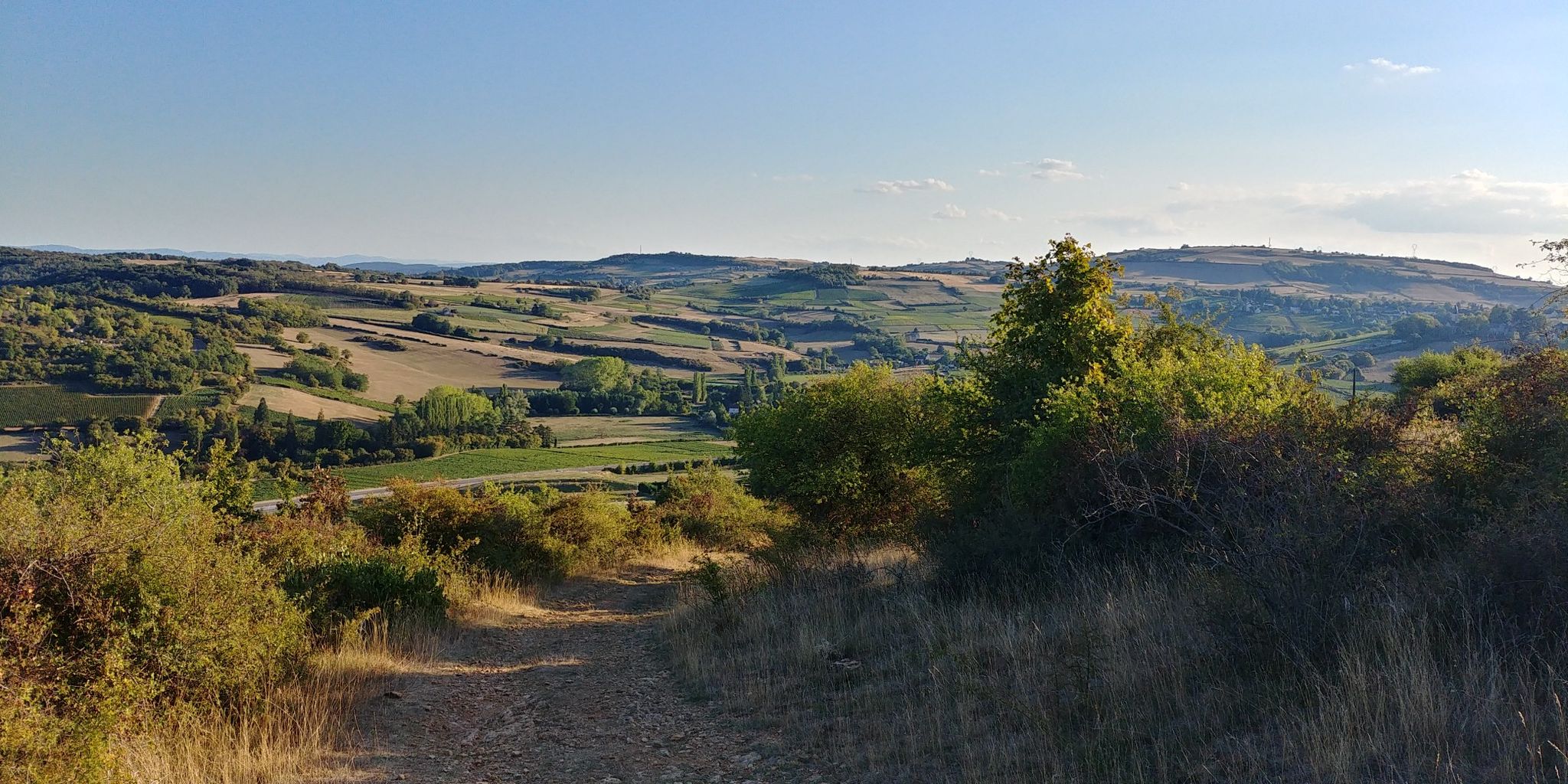
The Col de Durbize is a mountain pass at 550 meters above sea level in the municipality of Chiroubles, in the heart of the Beaujolais wine region. The pass is located in the Massif Central and, as an important road junction (intersection of roads D26, D86, and D18E1), connects surrounding wine villages such as Villié-Morgon and Beaujeu. It is particularly popular with road cyclists and hikers for its panoramic views.
0
0
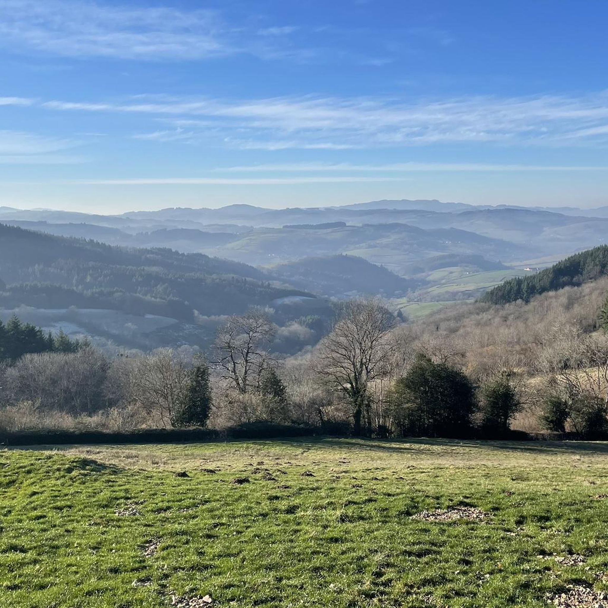
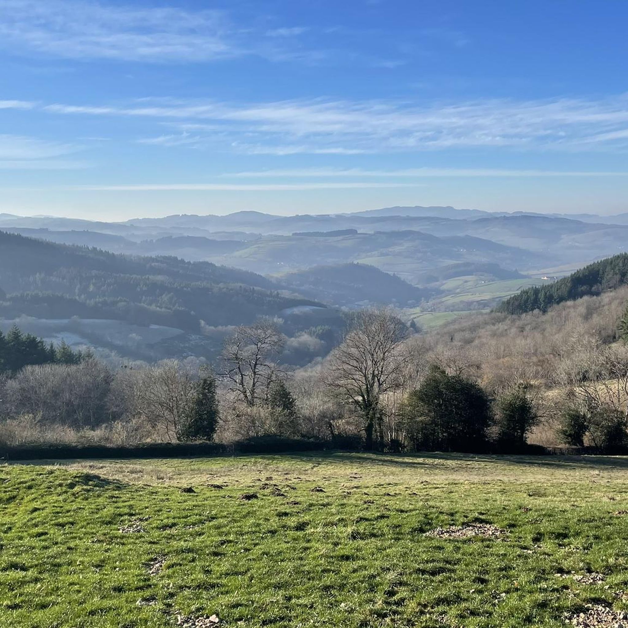
The Col de Gerbet (612 m) is an idyllic mountain pass in the French wine-growing region of Beaujolais. Depending on the starting point, various roads with little traffic lead up to the pass via the D137. From Juliénas (south-east approach): This route is 7.3 kilometers long. It overcomes 342 meters of altitude with a steady, moderate gradient of 4.7% on average. The road winds through shady forest sections. From La Croix Blanche (west approach): A tougher variant 4.5 kilometers long. Here you conquer 270 meters of altitude with an average gradient of 6% and ramps of up to 11%.
1
0
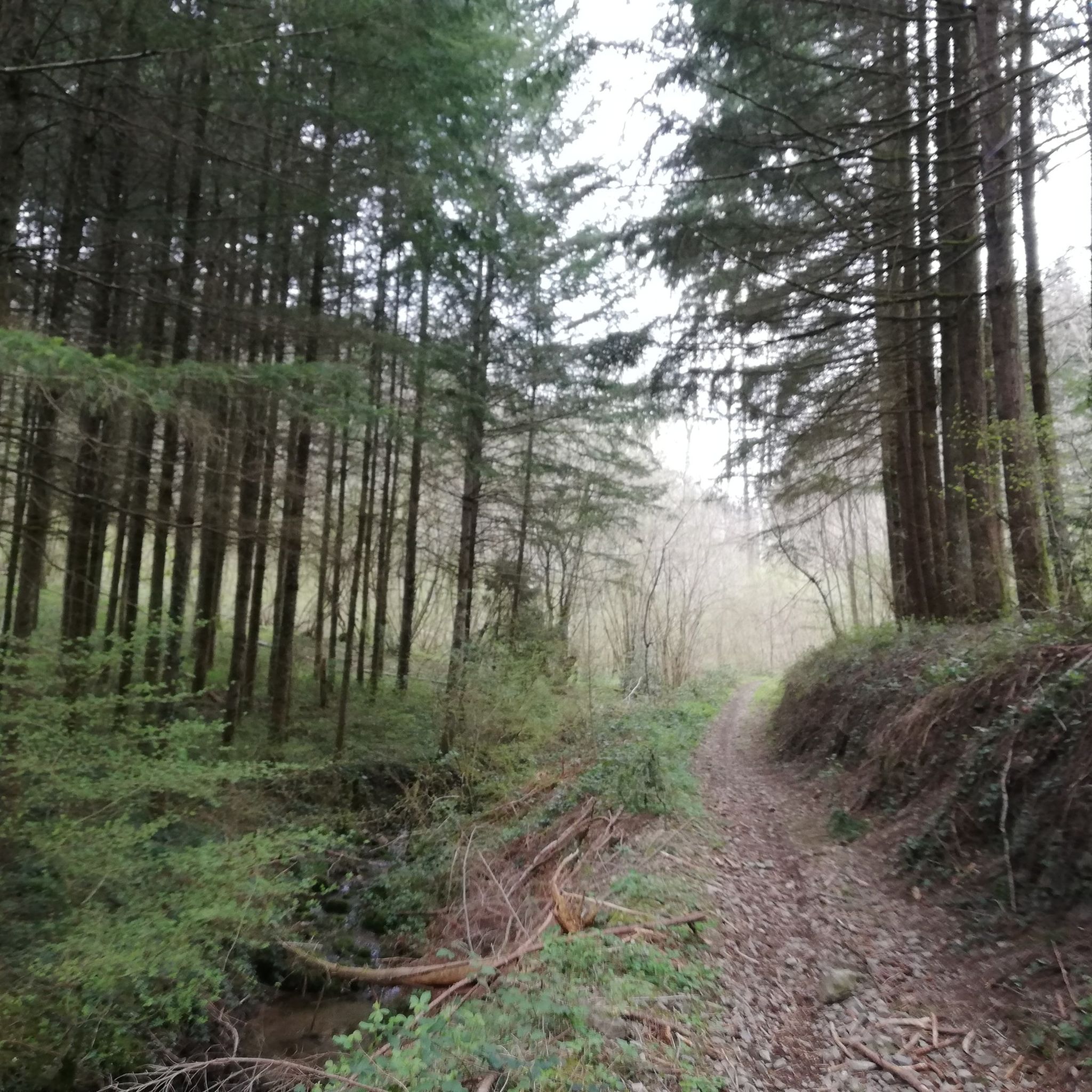
The Col du Bois Clair is a 396-meter high French mountain pass in the Massif Central. It is located in the Bourgogne-Franche-Comté region in the Saône-et-Loire department and lies within the municipality of Sologny. The pass summit is crossed by the departmental road D17. Beneath the pass runs the Tunnel du Bois Clair, a former railway tunnel. At 1.6 kilometers long, it is the longest tunnel in France accessible to bicycles. Today it serves as part of the Voie Verte cycle path, but is closed from October to April to protect hibernating bats.
0
0
The Col des Enceints is a mountain pass in the French region of Bourgogne-Franche-Comté (Département Saône-et-Loire) with a summit elevation of 529 meters. The pass is located in the Mâconnais mountains (Monts du Mâconnais) near the municipality of Bourgvilain. It is a popular route, especially among cyclists and hikers: For cyclists: The ascent from Pierreclos extends over approximately 4.3 kilometers with an elevation difference of about 257 meters and an average gradient of just under 6% (up to 12% at its steepest). For hikers: A moderate, approximately 8.5-kilometer circular hiking trail from Bourgvilain leads over the pass, among other routes, passing through forests and past small hamlets.
1
0


Finally there is a sign, certainly not like we are used to seeing them. Towards the orientation table, there is a post with a green border at the top where the name of the pass is indicated. In the area, that seems to be how the passes are marked, like its neighbor the Col de Pierreclos for example.
0
0

Several possible routes through the vineyards towards Villié-Morgon, notably via Chiroubles.
1
0

Frequently Asked Questions
Which mountain passes offer the best views around Cenves?
Several passes provide stunning panoramic views. The Col du Fût d'Avenas offers expansive views of the Beaujolais plain and the Dombes, with Mont Blanc visible on clear days. Similarly, the Col de la Sibérie, 638 m provides incredible vistas over the Saône valley, also with potential glimpses of the Alps and Mont Blanc. The Col de la Grange du Bois offers a majestic view of the Roche de Solutré.
What kind of outdoor activities can I do near the mountain passes in Cenves?
The region around Cenves is excellent for various outdoor activities. You can find numerous routes for mountain biking, running, and hiking. For mountain biking, consider trails like the 'Siberia Pass (638 m) – Access to Tête du Pis loop' or the 'Col du Carcan loop'. Runners might enjoy the 'La Grange du Bois – Col de la Sibérie loop'. Hikers have options such as the 'Col de Gerbet – Col de la Sibérie, 638 m loop' or the 'Cenves and the great mountain - loop'. You can explore more options in the dedicated guides for MTB Trails around Cenves, Running Trails around Cenves, and Hiking around Cenves.
Are there any family-friendly mountain pass trails in Cenves?
While specific trails are not explicitly marked as 'family-friendly' in the data, the region's 'medium-mountain setting' with elevations ranging from 335 to 747 meters suggests a variety of terrain. Many of the 50 kilometers of marked hiking trails are likely suitable for families, especially those looking for moderate walks rather than strenuous climbs. The passes themselves offer elevated paths through hilly terrain, which can be enjoyed by various fitness levels.
What is the best time of year to visit the mountain passes around Cenves?
The region is generally pleasant for outdoor activities. While there's no specific 'best season' mentioned, the presence of forests along routes like the Col de la Sibérie, 638 m makes summer enjoyable due to the shade. However, some passes, like the Col de la Grange du Bois, can lack shade and get hot quickly, so planning for cooler parts of the day or other seasons might be preferable for those specific spots.
What natural and cultural features can I expect to see when exploring Cenves' mountain passes?
Beyond the panoramic views of the Beaujolais landscape, Saône Valley, and distant Mont Blanc, the region offers a rich blend of nature and culture. You can explore preserved stone houses and historic churches in the commune. The area is also known for its local viticulture and renowned goat cheese production, providing a taste of authentic rural French life amidst the scenic passes.
Are the mountain passes around Cenves suitable for cyclists?
Yes, the mountain passes around Cenves are well-regarded by cyclists. Many passes, such as the Col de la Sibérie, 638 m, Col de Durbize, and Col du Fût d'Avenas, are categorized as 'cycle_way' and offer intermediate routes. The roads are often quiet, providing an enjoyable experience, though some passes like Col de Crie, 622 m can be busy with cars and trucks at peak times.
What is the difficulty level of hiking and cycling routes around Cenves' mountain passes?
The mountain passes around Cenves generally offer intermediate routes for both cyclists and hikers. While some climbs like the Côte de Prémecin are described as significant, the overall terrain is a 'medium-mountain setting'. Many routes are suitable for those with some experience, but beginners can also find enjoyable paths. For example, the 'Cenves and the great mountain - loop' hiking route is rated as moderate.
Is there parking available at the trailheads for the mountain passes?
The region is described as an 'accessible region near the A6 motorway', suggesting good road access. While specific parking information for each trailhead is not detailed, it is common for popular hiking and cycling areas in France to have designated parking near key access points or villages like Cenves. It is advisable to check local signage upon arrival.
Can I bring my dog on the hiking trails around Cenves' mountain passes?
The provided information does not explicitly state a dog policy for the hiking trails around Cenves. In France, regulations regarding dogs on trails can vary by municipality or protected area. It is generally recommended to keep dogs on a leash, especially in areas with wildlife or livestock, and to clean up after them. For specific rules, checking with local tourism offices upon arrival would be best practice.
What are some lesser-known mountain passes or hidden gems in the Cenves area?
While the guide highlights popular passes, the region's 'medium-mountain setting' and over 50 kilometers of marked hiking trails suggest many smaller, perhaps less frequented, elevated paths. Passes like Col du Carcan (646m), Col de Boubon (638m), and Col de Gerbet (610m), mentioned in regional research, offer elevated paths and scenic views, and might provide a quieter experience away from the more popular spots.
What do visitors appreciate most about the mountain passes around Cenves?
Visitors frequently praise the stunning panoramic views, especially those of the Beaujolais plain, the Saône Valley, and the distant Mont Blanc on clear days. The quiet roads and varied terrain are also highly valued by both cyclists and hikers. The presence of forests along some routes provides welcome shade, particularly in warmer months, enhancing the outdoor experience.
Most popular attractions around Cenves

Get inspired with the komoot mobile app


Explore more
See even more epic mountain passes by checking out these guides around Cenves:
