The best walks and hikes around Dolmayrac
4.6
(235)
1,145
hikers
110
hikes
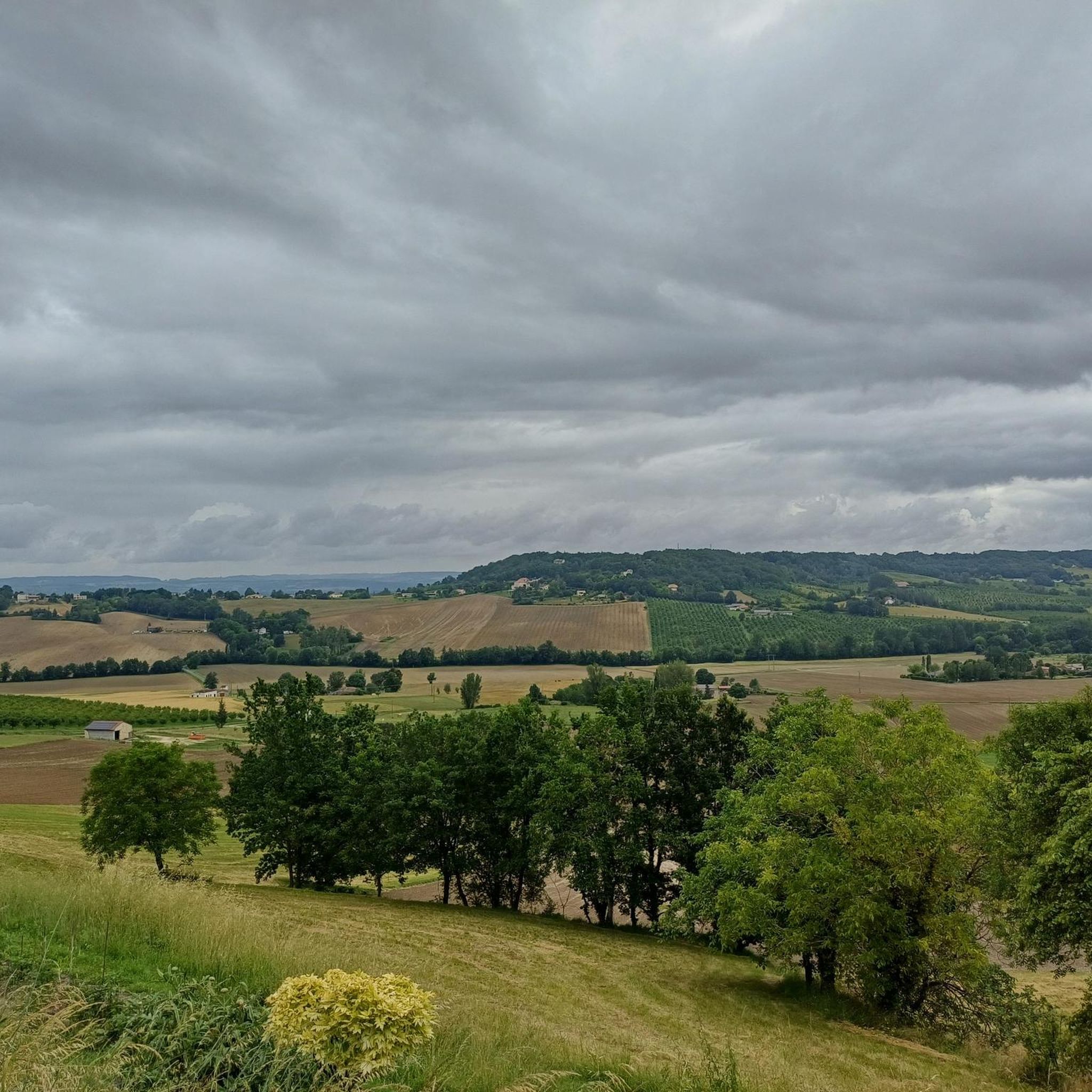
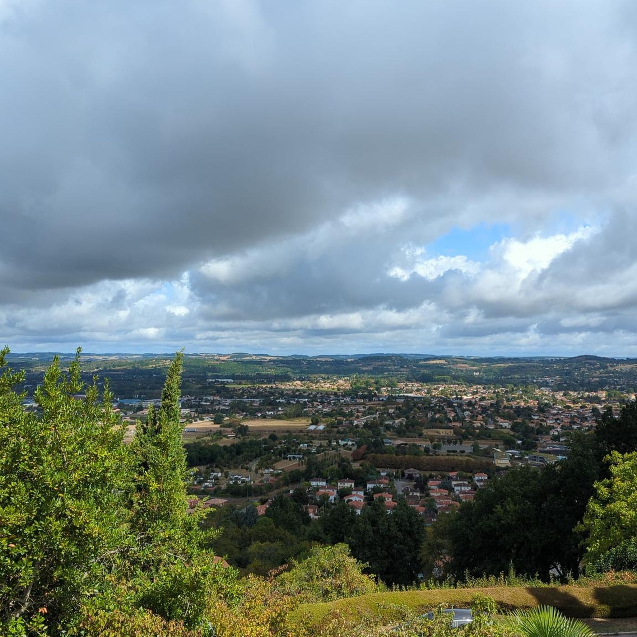
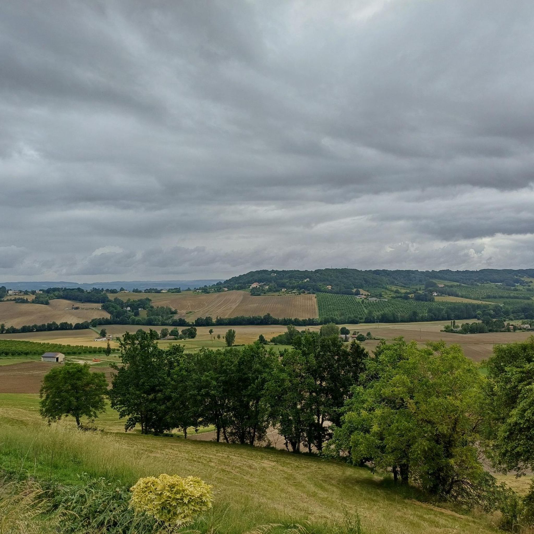
Hiking around Dolmayrac offers access to a network of trails through varied rural landscapes. The region features rolling terrain with moderate elevation changes, suitable for different hiking abilities. Paths often traverse open countryside and wooded areas, providing opportunities for exploration. The trails are generally well-suited for day hikes, connecting local points of interest.
Best hiking trails around Dolmayrac
- The most popular hiking route is The Lastournelle Cave – The Ariane rocket loop from Sainte-Colombe-de-Villeneuve, a 5.3 miles (8.5 km)…
Last updated: June 25, 2026
5.0
(2)
10
hikers
13.5km
03:44
240m
240m
Moderate hike. Good fitness required. Easily-accessible paths. Suitable for all skill levels.
5.0
(1)
6
hikers
13.1km
03:50
350m
350m
Moderate hike. Good fitness required. Easily-accessible paths. Suitable for all skill levels.

Sign up for free
3.0
(1)
5
hikers
8.45km
02:10
30m
30m
Moderate hike. Good fitness required. Easily-accessible paths. Suitable for all skill levels.
3.0
(1)
9
hikers
8.03km
02:03
20m
20m
Moderate hike. Good fitness required. Easily-accessible paths. Suitable for all skill levels.
9
hikers
25.7km
07:12
510m
510m
Hard hike. Very good fitness required. Easily-accessible paths. Suitable for all skill levels.
Get access to more routes and recommendations from other explorers.
Sign up for free
Already have an account?
Our route recommendations are based on thousands of hikes, rides, and runs completed by other people on komoot.
Start today with a free account
Your next adventure awaits.
Login or Signup
Tips from the Community

The church was first the castle chapel Saint-Barthélemy, an annex of Saint-Orens. It became a parish church under the dedication of Saint Orens in 1763 when it was ceded by the Duke of Aiguillon. The building was constructed in the first third of the 16th century, as suggested by the presence of the coat of arms of Charles de Montpezat, lord of Laugnac and Dolmayrac, on the keystone of the choir. Two chapels were built on the Epistle side in the second half of the 17th century. In 1650[1], Mr. Rigade or Régal, a judge, obtained authorization to build the south chapel near the choir, according to the minutes of a pastoral visit made in 1705. The south chapels were remodeled around 1850. The east-side chapel was then vaulted, according to Durengues. A repair of the vaults was planned in 1859. In 1890, a bay was added to the nave as well as the bell tower. The building has been listed as a historical monument since February 22, 1927[2],[3].
0
0

Caution: after Le Temple sur Lot, respect the prohibition and bypass the farm buildings by road, to find a path that leads you closer to Montpezat.
1
0

Always the Commanderie du Temple sur Lot. We recommend the restaurant :))
0
0
The temple has undergone a makeover for the 2024 Olympic Games. The greenway runs along the entire village.
0
0
Frequently Asked Questions
How many hiking trails are available around Dolmayrac?
There are over 100 hiking routes available around Dolmayrac, offering a wide range of options for different preferences and skill levels. These include 43 easy, 49 moderate, and 12 difficult trails.
What kind of terrain can I expect on hikes near Dolmayrac?
The hiking terrain around Dolmayrac is characterized by varied rural landscapes, including rolling hills, open countryside, and wooded sections. You can expect moderate elevation changes, making the paths suitable for different hiking abilities.
Are there easy hiking options for beginners or families in Dolmayrac?
Yes, Dolmayrac offers 43 easy hiking routes, perfect for beginners or families looking for a relaxed outdoor experience. An example is the Hiking loop from Sainte-Colombe-de-Villeneuve, which is 3.5 miles (5.6 km) long and takes about 1 hour 5 minutes.
Can I find circular hiking routes around Dolmayrac?
Yes, many of the hiking routes around Dolmayrac are circular, allowing you to start and end your journey in the same location. Examples include The Lastournelle Cave – The Ariane rocket loop from Sainte-Colombe-de-Villeneuve and Escalibur loop from Montpezat.
Are dogs allowed on the hiking trails in Dolmayrac?
While specific regulations for every trail are not always available, generally, dogs are welcome on rural hiking paths in France, especially if kept on a leash and under control. Always be mindful of local signage, especially near agricultural areas or nature reserves.
What are the typical distances and durations for hikes in this region?
Hikes around Dolmayrac vary significantly in distance and duration. You can find shorter routes like the Hiking loop from Sainte-Colombe-de-Villeneuve at 3.5 miles (5.6 km) taking just over an hour, to longer, more challenging trails such as the Escalibur loop from Montpezat, which is 11.2 miles (18.1 km) and can take over 5 hours.
What is the best time of year to go hiking around Dolmayrac?
Given the rural landscape, hiking around Dolmayrac is generally pleasant during spring, summer, and autumn. Spring offers blooming flora, while autumn provides beautiful colors. Summer is also suitable, though it's advisable to start early to avoid the midday heat.
Are there any notable landmarks or points of interest to see while hiking?
Yes, while hiking around Dolmayrac, you might encounter various points of interest. Nearby attractions include the charming village of Pujols, the historic Saint-Germain Church Ruins, Le Temple-sur-Lot, and the picturesque Prayssas Village Square.
How do other hikers rate the trails around Dolmayrac?
The trails around Dolmayrac are highly rated by the komoot community, with an average score of 4.6 stars from over 225 reviews. Hikers often praise the quiet rural paths and the varied scenery.
Is public transport available to access hiking trailheads near Dolmayrac?
Dolmayrac is a rural area, and public transport options directly to trailheads may be limited. It is generally recommended to use a car to reach the starting points of most hiking routes, especially those outside the immediate village center.
Where can I find parking for hiking trails in Dolmayrac?
Parking for hiking trails in Dolmayrac is typically available in or near the villages where the routes begin, such as Sainte-Colombe-de-Villeneuve or Montpezat. Look for designated parking areas or suitable roadside spots, always ensuring you do not obstruct local access.
Are there any cafes or places to eat near the hiking routes?
As Dolmayrac is a rural area, cafes and restaurants might be found in the larger nearby villages like Sainte-Colombe-de-Villeneuve or Montpezat. It's a good idea to check opening times in advance or pack your own refreshments for your hike.
Are there more challenging hikes for experienced hikers?
Yes, for experienced hikers seeking a greater challenge, there are 12 difficult routes available. An example is the Escalibur loop from Montpezat, an 11.2 miles (18.1 km) trail with significant elevation gain, typically taking over 5 hours to complete.
Most popular attractions around Dolmayrac

Get inspired with the komoot mobile app


Explore more
Browse the best Hikes in other regions.
