The best cycling routes around Saint-Jacques-Des-Arrêts
4.5
(135)
1,063
riders
96
rides
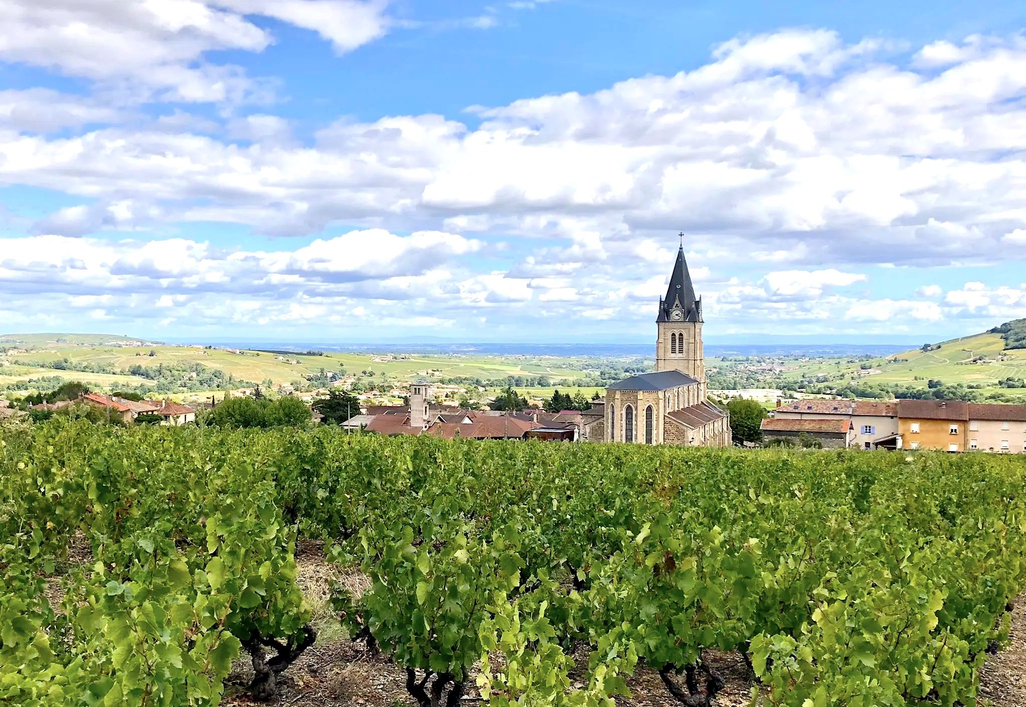
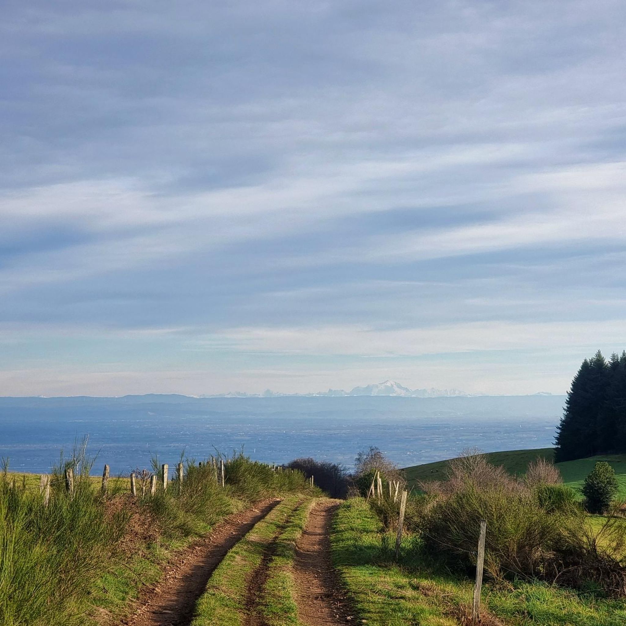
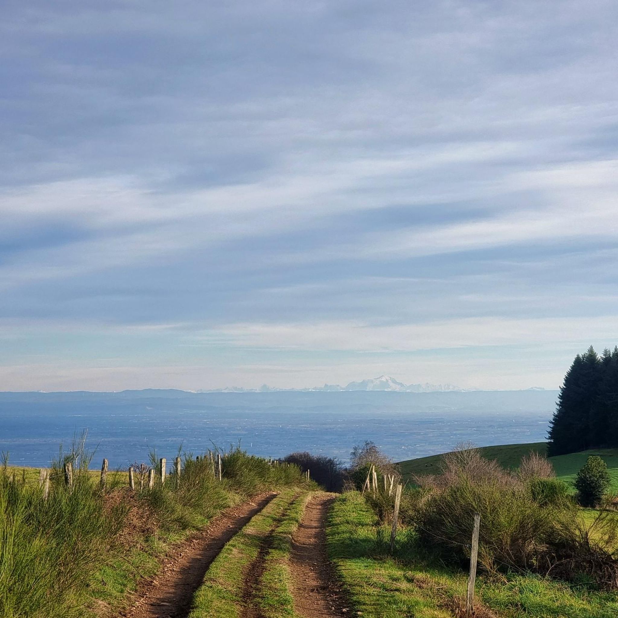
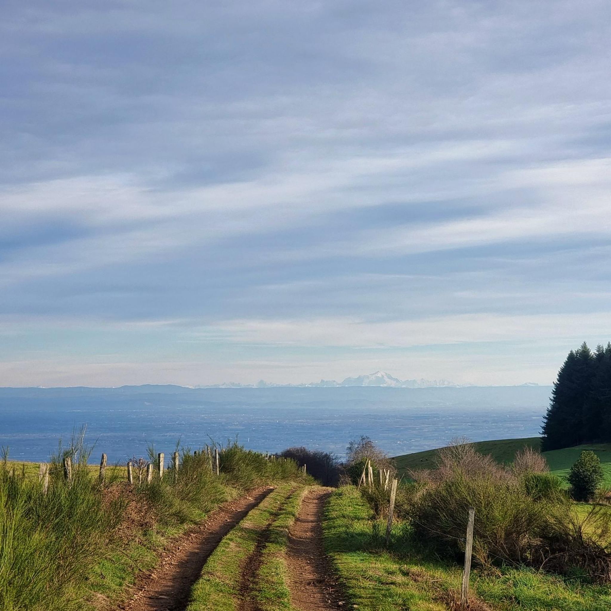
Touring cycling routes around Saint-Jacques-Des-Arrêts traverse the "Beaujolais vert" region, characterized by verdant landscapes, bocage, and valleys. The terrain features a mix of rolling hills and more challenging climbs, offering panoramic viewpoints over the Beaujolais mountains, the Monts d'Or, and the Saône plain. Cyclists can expect routes that wind through picturesque pastures and provide views extending to the Alps on clear days. The area's diverse topography makes it suitable for various touring cycling experiences.
Best touring cycling routes around Saint-Jacques-Des-Arrêts
…Last updated: June 26, 2026
4.0
(2)
25
riders
42.9km
02:46
560m
560m
Hard bike ride. Very good fitness required. Mostly paved surfaces. Suitable for all skill levels.
20
riders
43.2km
03:17
960m
960m
Hard bike ride. Very good fitness required. Mostly paved surfaces. Suitable for all skill levels.

Sign up for free
5.0
(2)
17
riders
36.5km
02:16
350m
350m
Moderate bike ride. Good fitness required. Mostly paved surfaces. Suitable for all skill levels.
13
riders
56.6km
04:07
1,170m
1,170m
Hard bike ride. Very good fitness required. Mostly paved surfaces. Suitable for all skill levels.
4.0
(1)
8
riders
54.9km
03:43
860m
860m
Hard bike ride. Very good fitness required. Mostly paved surfaces. Suitable for all skill levels.
Get access to more routes and recommendations from other explorers.
Sign up for free
Already have an account?
Our route recommendations are based on thousands of hikes, rides, and runs completed by other people on komoot.
Start today with a free account
Your next adventure awaits.
Login or Signup
Popular around Saint-Jacques-Des-Arrêts
Other adventures around Saint-Jacques-Des-Arrêts

Tips from the Community

Magnificent ride mostly in the shade on level, smooth ground.
1
0
The church of Saint-Valentin de Jalogny is a historic Roman Catholic church in the municipality of Jalogny in the Saône-et-Loire department. Built in the Romanesque style, the structure was erected in the 12th century. It replaced an earlier place of worship from 969, which had been built by the famous monks of the nearby Cluny Abbey. The striking, four-story bell tower with a pyramidal tent roof was built directly next to the choir. The lower part is preserved in its original state, while the upper floor was raised in the 19th century.
0
0
The Château de Pierreclos is a historic, Romanesque castle complex and a renowned winery. Its origins date back to the 9th to 11th centuries, beginning with a Romanesque chapel. In the 13th century, the complex was expanded into a medieval fortress. Today, it is protected as a private historical monument. The castle is located on a rocky outcrop that has been used for viticulture since the 6th century. The Pidault family's winery produces organically certified white and red wines (including Pouilly-Fuissé and Mâcon-Pierreclos).
1
0
The Col de Durbize is a mountain pass at 550 meters above sea level in the municipality of Chiroubles, in the heart of the Beaujolais wine region. The pass is located in the Massif Central and, as an important road junction (intersection of roads D26, D86, and D18E1), connects surrounding wine villages such as Villié-Morgon and Beaujeu. It is particularly popular with road cyclists and hikers for its panoramic views.
0
0
The lake is located in the Doubs department in the French region of Bourgogne-Franche-Comté at an altitude of around 850 meters. After Lac du Bourget and Lac d'Annecy, it is the third largest natural lake in France. It is a very popular lake for swimming in the summer and offers opportunities for kayaking, windsurfing, and stand-up paddling. There is also a popular hiking trail around the entire lake, approximately 20 kilometers long.
1
0
The Col de Gerbet (612 m) is an idyllic mountain pass in the French wine-growing region of Beaujolais. Depending on the starting point, various roads with little traffic lead up to the pass via the D137. From Juliénas (south-east approach): This route is 7.3 kilometers long. It overcomes 342 meters of altitude with a steady, moderate gradient of 4.7% on average. The road winds through shady forest sections. From La Croix Blanche (west approach): A tougher variant 4.5 kilometers long. Here you conquer 270 meters of altitude with an average gradient of 6% and ramps of up to 11%.
1
0
The former Cluny-Chalon-sur-Saône railway line has been decommissioned. The old station grounds now serve as the central bus stop ("Cluny Gare") for regional buses. Lines 701 and 709 of the Mobigo network connect the town to the TGV station in Mâcon in about 30 minutes. Directly at the old station runs the Voie Verte (an asphalted railway path cycle route). There is a large e-bike and bicycle rental service on site for tourists.
1
0
Founded in 910, the Benedictine abbey developed into the starting point of the Cluniac reform movement. In the High Middle Ages, it was one of the most influential religious and political centers in Western Europe. At its peak, the Cluny congregation comprised around 1,200 monasteries with over 20,000 monks across the continent. Cluny was independent of secular rulers and local bishops. It was directly subordinate to the Pope in Rome.
1
0
Frequently Asked Questions
What kind of terrain can I expect on touring cycling routes around Saint-Jacques-Des-Arrêts?
The region, part of the "Beaujolais vert," offers a diverse landscape. You'll encounter a mix of rolling hills and more challenging climbs, with routes winding through picturesque pastures, bocage (hedged farmland), and valleys. While many routes are challenging, there are also options for moderate and easy rides. The terrain often provides panoramic viewpoints over the Beaujolais mountains, the Monts d'Or, and the Saône plain, with views extending to the Alps on clear days.
How many touring cycling routes are available in Saint-Jacques-Des-Arrêts?
There are over 90 touring cycling routes around Saint-Jacques-Des-Arrêts. These routes cater to various skill levels, with 3 easy, 25 moderate, and 65 difficult options, ensuring there's a suitable ride for most cyclists.
Are there any family-friendly cycling routes in the area?
While many routes in Saint-Jacques-Des-Arrêts are rated as moderate to difficult due to the hilly terrain, there are 3 easy routes available. These easier options are generally more suitable for families or those looking for a less strenuous ride. For specific family-friendly paved routes, it's best to check individual tour details on komoot.
What are some notable landmarks or viewpoints I can see along the cycling routes?
Cycling routes in the region offer numerous scenic highlights. You can enjoy magnificent views from the Col de la Sibérie and Col de Boubon, and from Rochefort Cross, you'll get superb panoramas of the Beaujolais mountains, the Monts d'Or, and Mont Brouilly. The prominent Roche de Solutré also offers spectacular views over the Mâconnais vineyards. Don't miss the unique frescoes by Jean Fusaro in the Église de Saint-Jacques-des-Arrêts in the village itself.
What do other touring cyclists say about the routes in Saint-Jacques-Des-Arrêts?
The touring cycling routes around Saint-Jacques-Des-Arrêts are highly regarded by the komoot community, with an average rating of 4.6 stars from over 100 reviews. Cyclists often praise the verdant landscapes, the challenging climbs, and the rewarding panoramic viewpoints. Over 1,100 touring cyclists have already explored the varied terrain using komoot.
Are there any circular touring cycling routes?
Yes, many of the touring cycling routes around Saint-Jacques-Des-Arrêts are designed as loops. For example, the difficult route Giant bicycle at Col de Crie – Maison du terroir beaujolais loop from Ouroux and the Tunnel du bois clair – Bois Clair Tunnel loop from Tramayes are popular circular options, allowing you to start and finish in the same location.
What is the best season for touring cycling in Saint-Jacques-Des-Arrêts?
The Haut-Beaujolais region, where Saint-Jacques-Des-Arrêts is located, provides a harmonious green setting with valleys that offer cooler temperatures in the summer, making it ideal for cycling during warmer months. Spring and autumn also offer pleasant conditions with vibrant foliage and comfortable temperatures. While winter cycling is possible, some higher elevation routes might be affected by colder weather or occasional snow.
Where can I find parking for cyclists in Saint-Jacques-Des-Arrêts?
Saint-Jacques-Des-Arrêts, being a cycling-friendly location, offers practical amenities. You can typically find parking within the village, especially near the municipal camping site or other local facilities, which are convenient starting points for many routes. It's always a good idea to check local signage upon arrival for designated parking areas.
Are there any cafes or accommodation options for cyclists in Saint-Jacques-Des-Arrêts?
Yes, the village provides practical amenities for touring cyclists. You'll find gîtes (holiday cottages) and a municipal camping site, which are ideal for multi-day trips. There are also local establishments where you can find refreshments after your ride. The region is well-equipped to welcome itinerant tourists, including cyclists.
What is the longest touring cycling route available?
One of the longer and more challenging routes is the Chiroubles Terrace – Col de Durbize loop from Pruzilly, which spans approximately 57.3 kilometers (35.6 miles) and involves significant elevation gain. This route offers extensive views and is typically completed in about 4 hours and 10 minutes.
Can I reach Saint-Jacques-Des-Arrêts by public transport for cycling trips?
While Saint-Jacques-Des-Arrêts is nestled in a rural area, the wider Auvergne-Rhône-Alpes region is well-connected. Public transport options to reach the vicinity of Saint-Jacques-Des-Arrêts may involve a combination of regional trains and local bus services. It's advisable to check specific schedules and bicycle transport policies with regional transport providers in advance, as direct connections to the village might be limited.
Are there any routes that pass by the Lac de Saint-Point Lamartine?
Yes, there are routes that allow you to experience the natural beauty of the nearby Lac de Saint-Point Lamartine. For instance, the difficult route Tramayes – Lake Saint-Point loop from Tramayes is a 54.9 km (34.1 miles) loop that incorporates this scenic spot, offering a refreshing break during your tour.
Most popular routes around Saint-Jacques-Des-Arrêts
Most popular attractions around Saint-Jacques-Des-Arrêts

Get inspired with the komoot mobile app


Explore more
Browse the best Cycling routes in other regions.
