The best road cycling routes around Virignin
4.3
(306)
7,888
riders
127
rides
Road cycling around Virignin offers diverse routes through the Ain department of France, characterized by its notable landscapes and access to the Rhône River. The region features varied terrain, including sections along the extensive ViaRhôna cycle route, which provides dedicated paths. Cyclists can expect views of the Rhône and its surrounding natural areas. The area's elevation changes are generally moderate, with some routes featuring hills rather than high peaks.
Best road cycling routes around Virignin
- The most popular road cycling…
Last updated: October 11, 2026
4.1
(7)
149
riders
66.0km
02:55
380m
390m
Moderate road ride. Good fitness required. Mostly well-paved surfaces and easy to ride.
4.3
(8)
153
riders
58.0km
02:33
320m
320m
Moderate road ride. Good fitness required. Mostly well-paved surfaces and easy to ride.

4.7
(12)
129
riders
49.3km
02:01
280m
280m
Moderate road ride. Good fitness required. Mostly well-paved surfaces and easy to ride.
4.6
(27)
242
riders
41.6km
01:41
190m
190m
Easy road ride. Great for any fitness level. Mostly well-paved surfaces and easy to ride.
4.0
(4)
35
riders
60.4km
02:32
280m
280m
Moderate road ride. Good fitness required. Some segments of this route may be unpaved and difficult to ride.
Get access to more routes and recommendations from other explorers.
Already have an account?
Our route recommendations are based on thousands of hikes, rides, and runs completed by other people on komoot.
Start today with a free account
Your next adventure awaits.

Tips from the Community

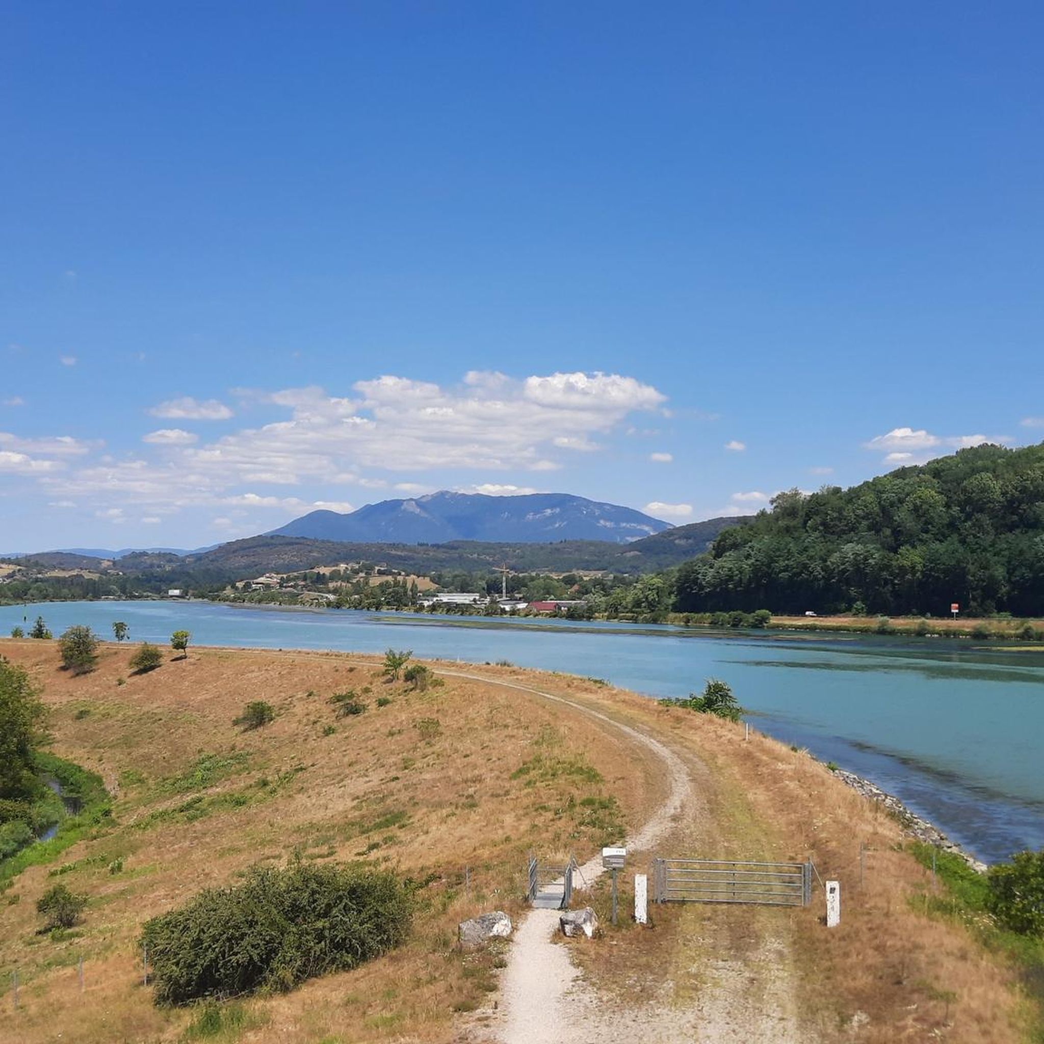
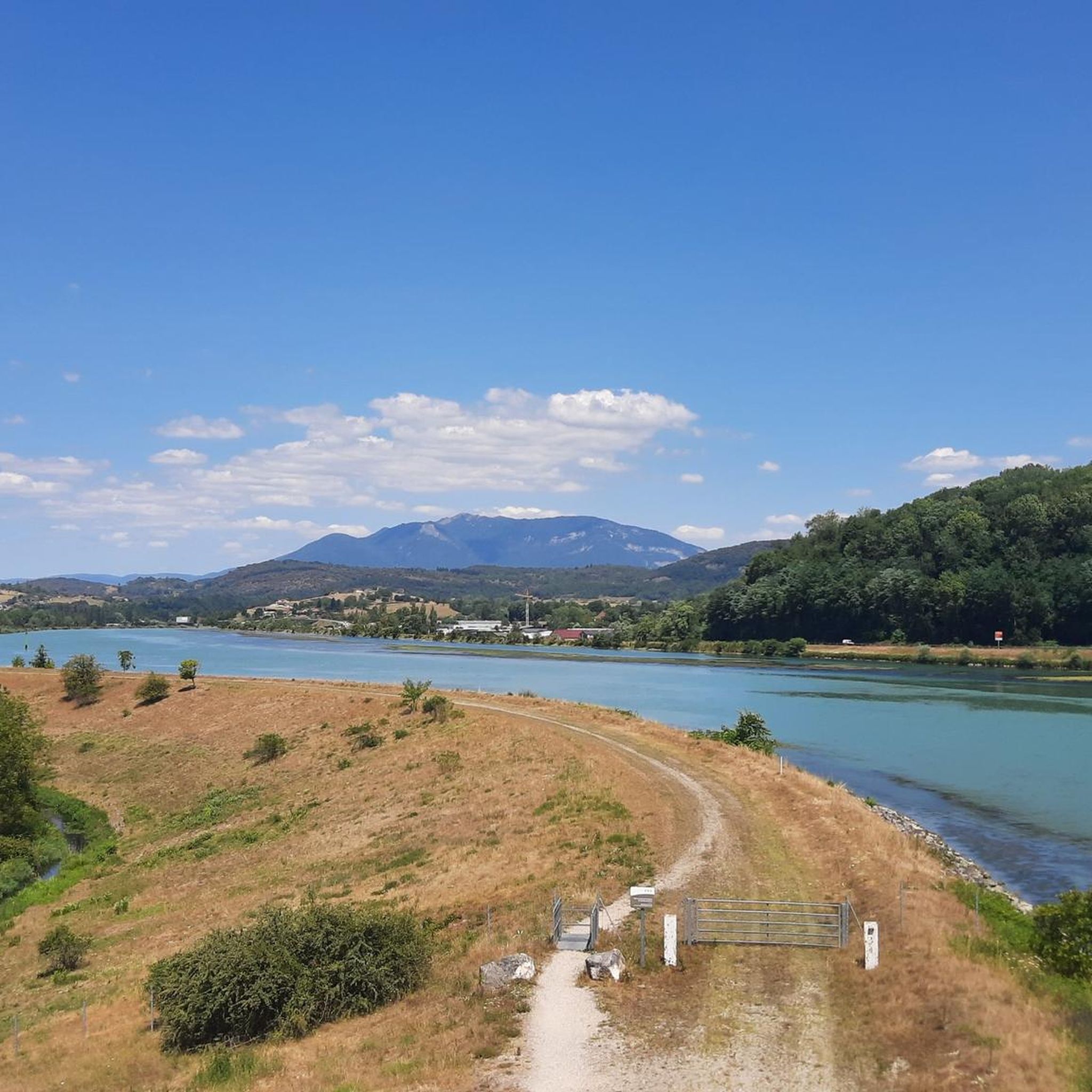
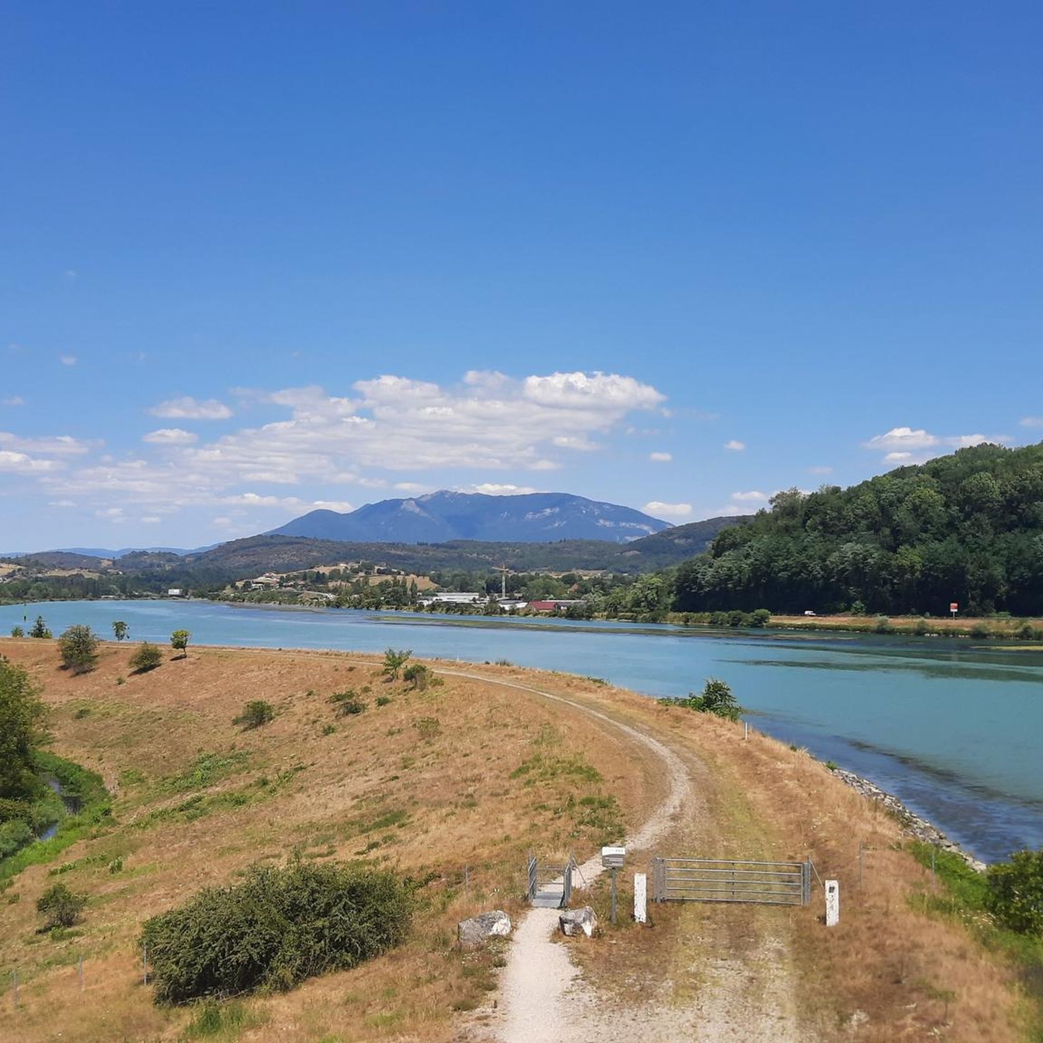
The area is located on the border between the departments of Isère and Ain, right next to the Pont d’Évieu. A specific ViaRhôna link allows you to reach the center of the commune of Les Avenières directly from this point via small country roads.
0
0

The bike path is quiet and very well maintained.
0
0

unfortunately the swimming lake was closed during my visit
0
0
a very nice section for us cyclists
0
0

Very straight cycle path with a very beautiful view in the middle of nature
0
0

Chateau de Musin - a castle from the 11th century.
0
0
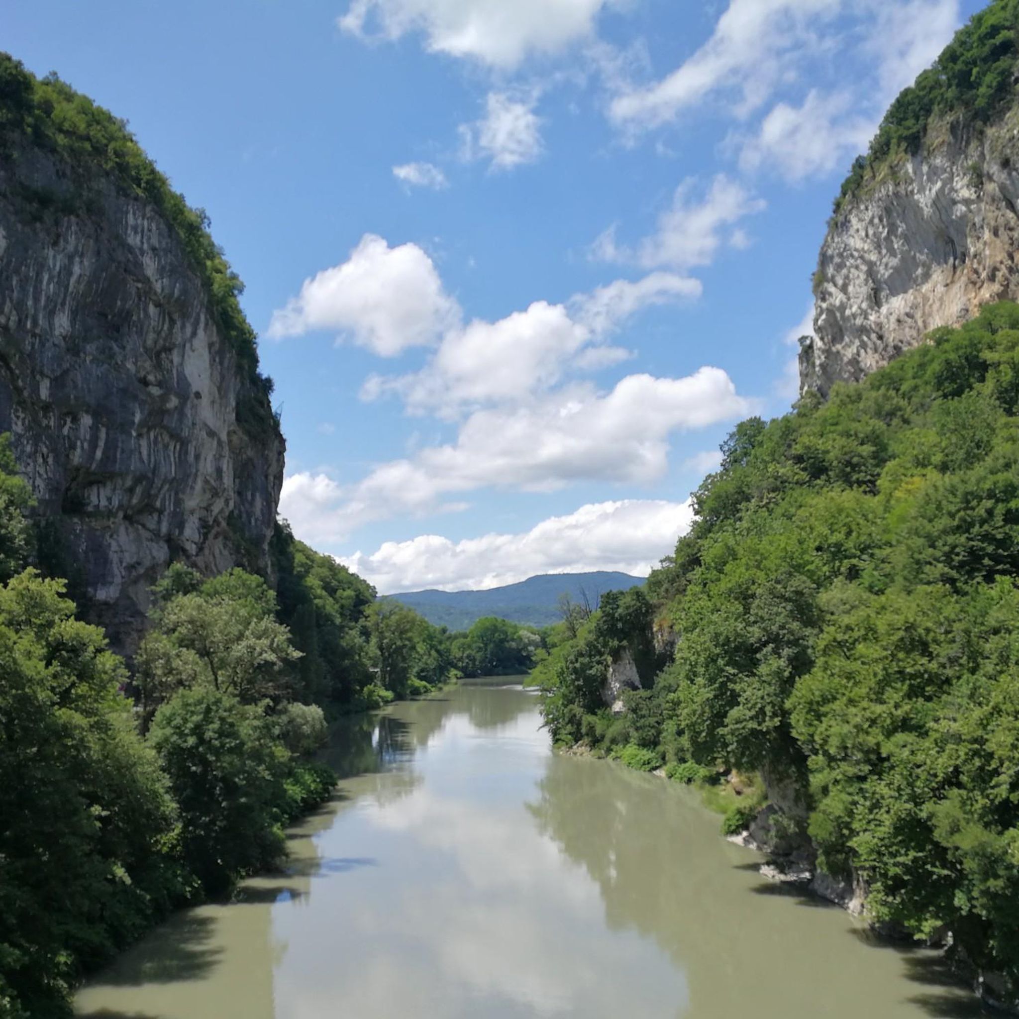
A beautiful section along the Rhone.
0
0
Frequently Asked Questions
How many road cycling routes are available around Virignin?
There are over 135 road cycling routes around Virignin, offering a wide variety of options for different skill levels and preferences.
What are the different difficulty levels for road cycling routes in Virignin?
The routes around Virignin cater to various fitness levels. You'll find 10 easy routes, 72 moderate routes, and 53 difficult routes, ensuring there's something for everyone from beginners to experienced cyclists.
What natural features or landmarks can I see along road cycling routes near Virignin?
Many routes offer impressive views of the Rhône River. You can also cycle along the extensive ViaRhôna cycle route, which features a notable suspended bridge over the Rhône. Other natural highlights in the area include Glandieu Waterfall and Lac d'Ambléon.
Are there any notable points of interest or villages to explore near the cycling routes?
Yes, you can explore charming spots like Chanaz – Savoy's Little Venice. The routes also pass by the Canal de Savières Road and offer views of the Col du Chat.
What do other cyclists enjoy about road cycling in Virignin?
The road cycling routes in Virignin are highly rated by the komoot community, with an average score of 4.2 stars from over 260 reviews. Cyclists often praise the diverse terrain, the scenic views of the Rhône River, and the well-maintained paths, especially along the ViaRhôna.
Are there family-friendly road cycling routes in Virignin?
Yes, there are several easy routes suitable for families. For example, the Savière Canal – Canal de Savières Road loop from Brens is an easy 46.2 km path, perfect for any fitness level.
Are there circular road cycling routes available?
Many of the road cycling routes around Virignin are loops, making them convenient for starting and ending at the same point. An example is the Canal de Savières Road – Savière Canal loop from Virignin, which is a 41.6 km circular trail.
What kind of terrain can I expect on road cycling routes around Virignin?
The region offers varied terrain. While many sections are paved, some segments may be unpaved, adding a bit of challenge. Elevation changes are generally moderate, with routes featuring hills rather than high mountain passes.
Are there any routes that follow the Rhône River?
Absolutely. A significant portion of the road cycling in Virignin is along the Rhône River, particularly on the extensive ViaRhôna cycle route, which offers dedicated paths and greenways with stunning river views.
What is the best time of year for road cycling in Virignin?
The region is generally pleasant for cycling from spring through autumn. The weather is typically mild, making it ideal for enjoying the scenic routes. Always check local forecasts for current conditions.
Are there any longer road cycling routes for more experienced riders?
Yes, for those seeking longer rides, routes like the Virignin Port – Virignin footbridge loop from Brens cover over 61 km with moderate elevation, requiring good fitness.
Where can I find parking for road cycling in Virignin?
Parking is generally available in and around Virignin, especially near popular starting points for cycling routes. Specific parking details may vary by route, so it's advisable to check the route description on komoot for the most convenient options.
Are there cafes or accommodation options near the road cycling routes in Virignin?
Virignin and the surrounding communes offer various amenities including cafes, restaurants, and accommodation options. These can be found in the villages along or near the cycling routes, providing convenient stops for refreshments or overnight stays.
Most popular attractions around Virignin

Get inspired with the komoot mobile app


Explore more
Browse the best Road cycling routes in other regions.
