The 7 Most Amazing Peaks around Saint-Igny-De-Vers
Best mountain peaks around Saint-Igny-De-Vers are characterized by the prominent Mont Saint Rigaud, the highest point in the Rhône department, reaching over 1000 meters. This area, part of the Beaujolais massif, offers a diverse landscape of elevated points and natural features. The region provides various viewpoints and natural landmarks for exploration.
Best mountain peaks around Saint-Igny-De-Vers
- The most popular mountain peaks is Rochefort Cross, a man_made_monument that offers a superb panorama of the Beaujolais mountains, the Monts d'Or, and…
Last updated: July 1, 2026
Rochefort Cross
Highlight • Monument
Translated by Google •
Tip by

Mount Saint-Rigaud
Highlight • Summit
Translated by Google •
Tip by

Sign up now to discover places like this
Get recommendations on the best single tracks, peaks, & plenty of other exciting outdoor places.
Sign up for free
Mount St. Cyr
Highlight • Summit
Translated by Google •
Tip by

Mount Dun
Highlight • Summit
Translated by Google •
Tip by
Mont Saint-Cyr
Highlight • Viewpoint
Translated by Google •
Tip by

Sign up for free to discover even more peaks around Saint-Igny-De-Vers.
Sign up for free
Already have an account?
Start today with a free account
Your next adventure awaits.
Login or Signup
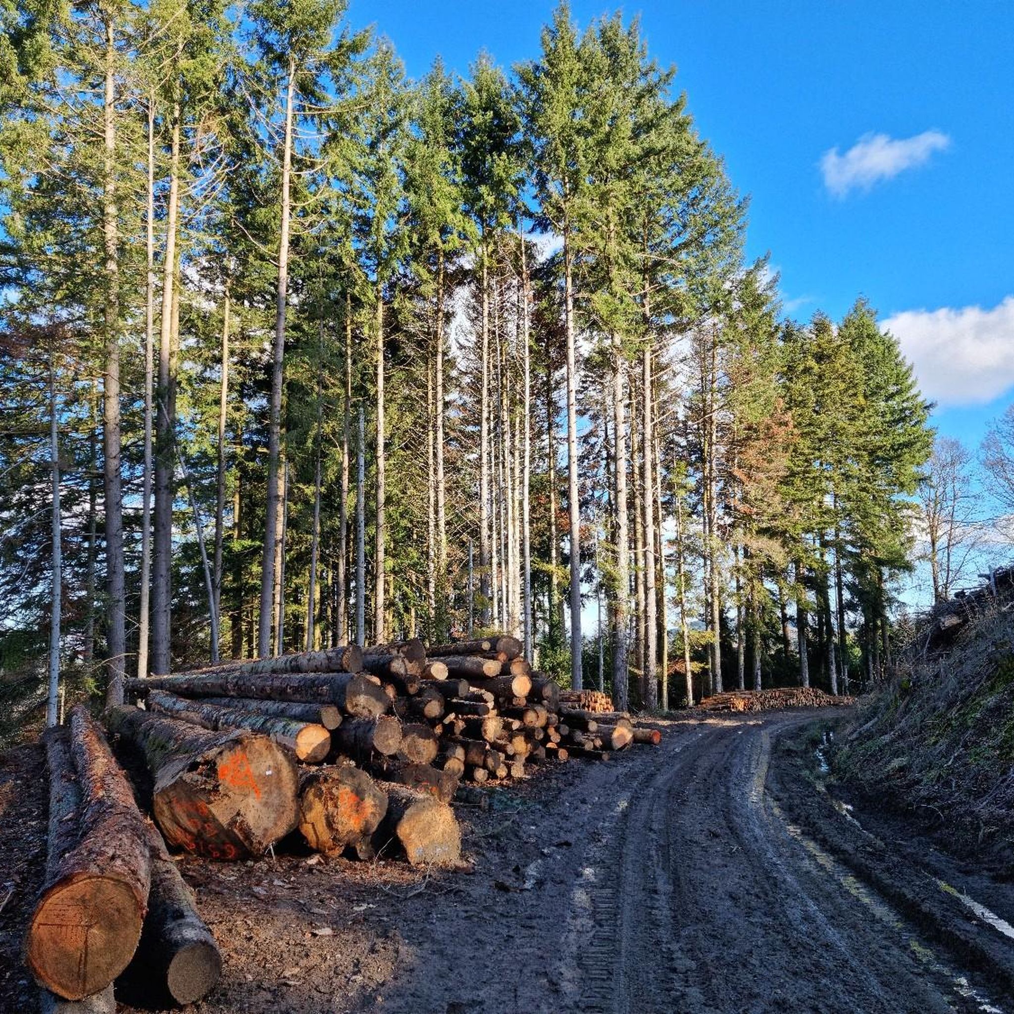
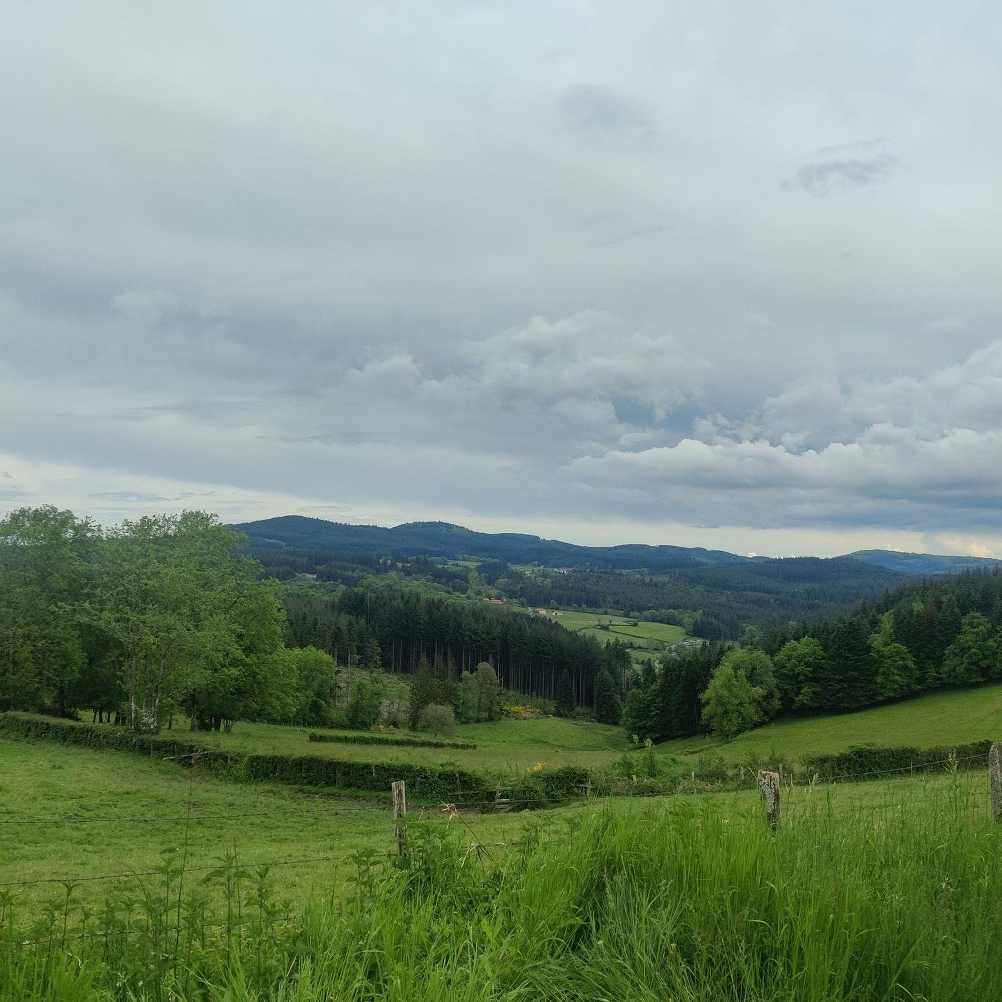
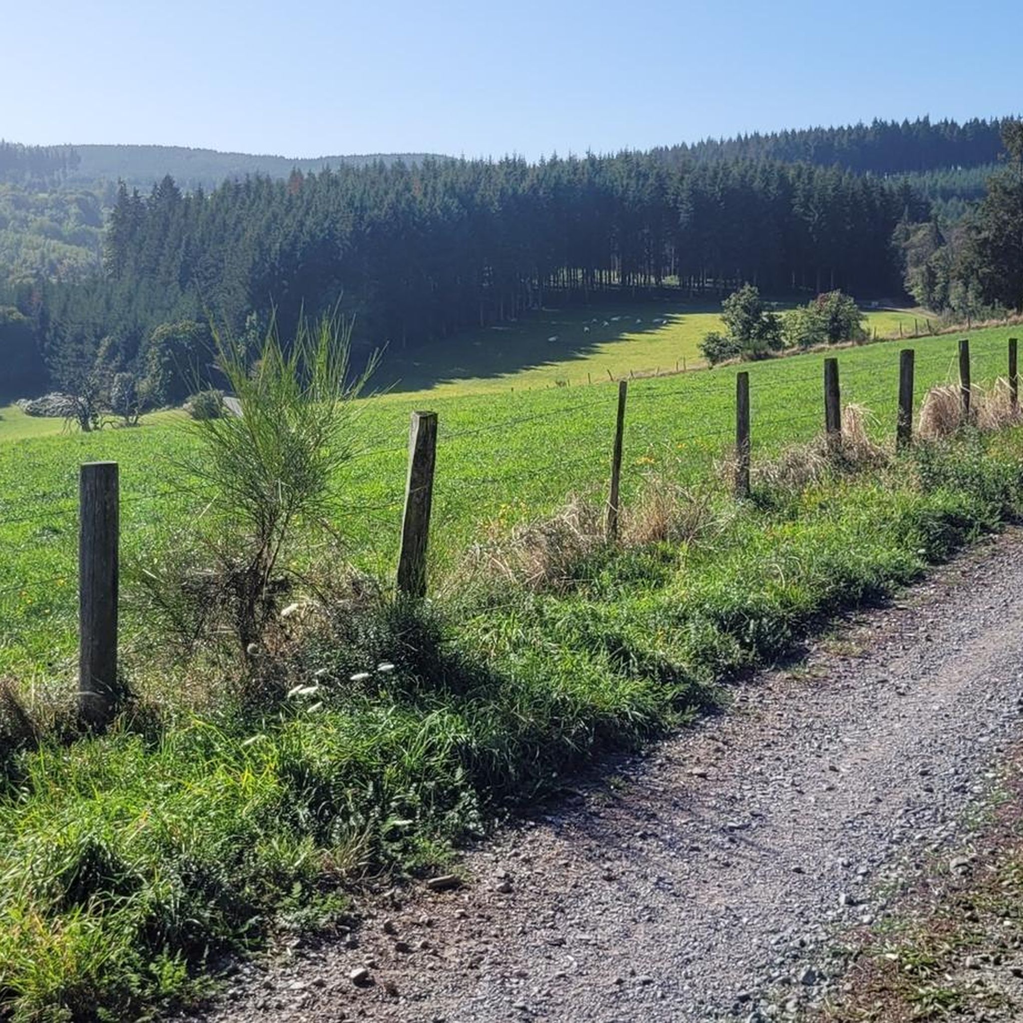
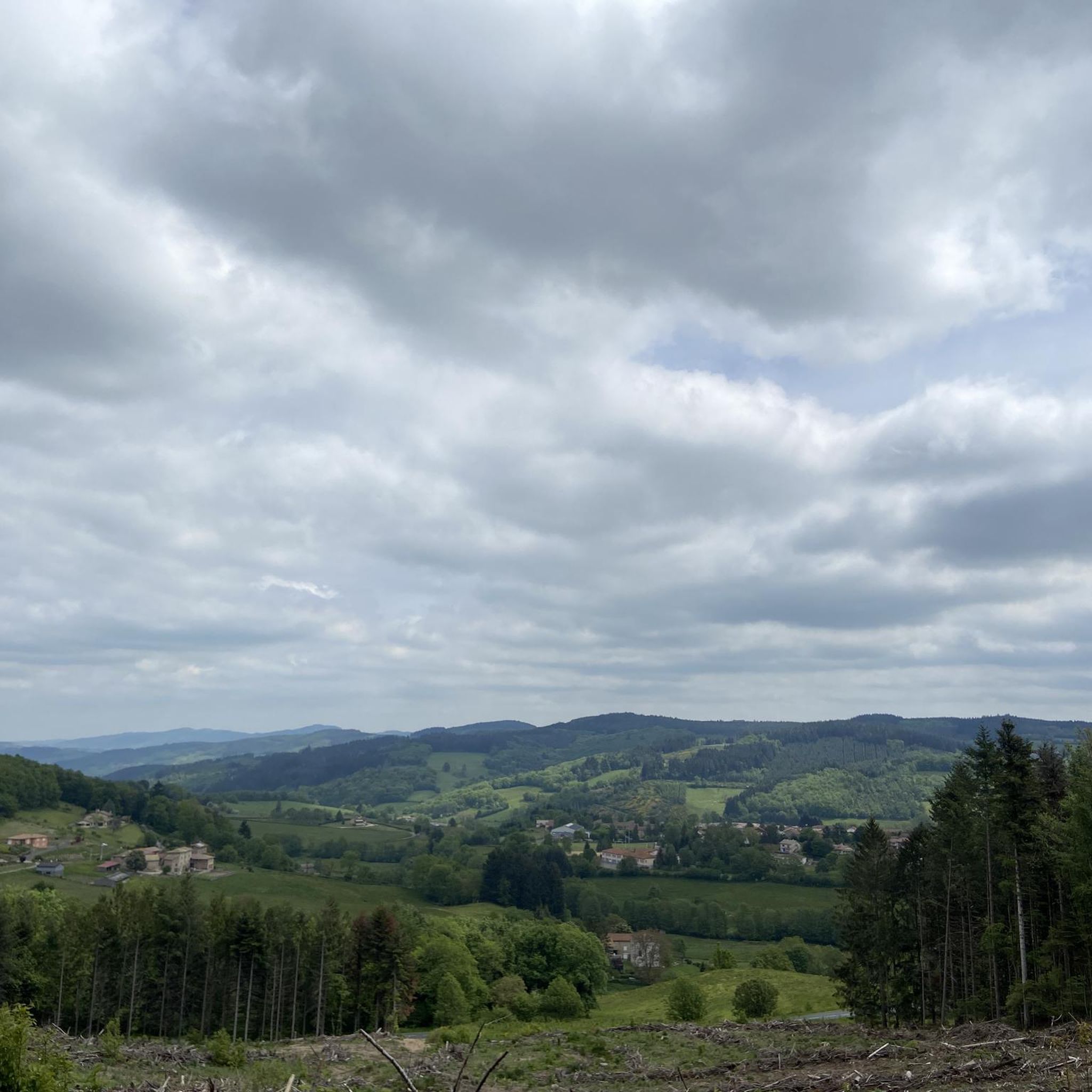
Tips from the Community

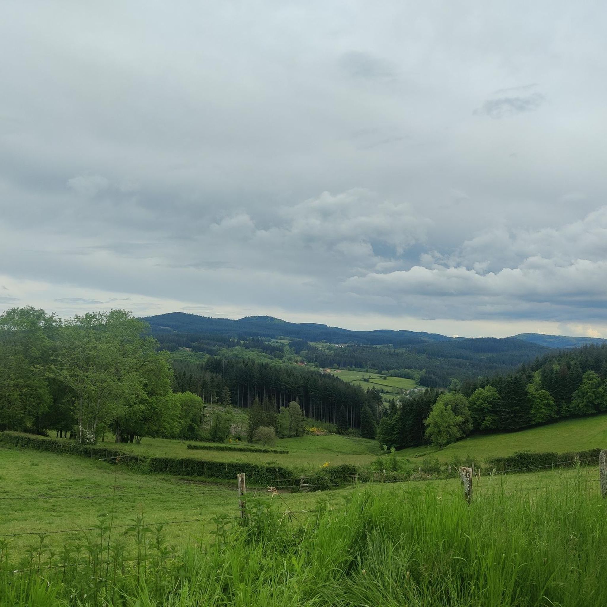
Mont Saint-Cyr is located in southern Burgundy (Saône-et-Loire department) in the municipality of Montmelard and, at 771 meters, is the highest point in the Mâconnais mountains. From the summit, there is a wide panoramic view of the surrounding landscapes of Charolais, Brionnais, and Clunisois. In very clear weather, the view extends eastwards to Mont Blanc in the Alps. On the mountain are the historical remains of a 10th-century monastery, which was destroyed during the Wars of Religion. There is a picnic area in the forest, as well as orientation panels that help identify the surrounding peaks and valleys.
0
0
Mont Saint-Cyr is located in southern Burgundy (Saône-et-Loire department) in the municipality of Montmelard and, at 771 meters, is the highest point of the Mâconnais mountains. From the summit, there is a wide panoramic view of the surrounding landscapes of Charolais, Brionnais, and Clunisois. In very clear weather, the view extends eastwards to Mont Blanc in the Alps. On the mountain are the historical remains of a 10th-century monastery, which was destroyed during the Huguenot Wars. There is a picnic area in the forest as well as orientation panels that are helpful in identifying the surrounding peaks and valleys.
0
0

Mont Saint-Cyr 771 m, the highest point in the Mâconnais mountains with a superb view.
1
0

The roof of the Rhône, beautiful view of the upper Beaujolais
1
0


Great walk. Beautiful view with picnic tables and tap with drinking water. However, NOT an easy walk. You must be able to walk well.
0
0
Frequently Asked Questions
What are the most notable mountain peaks around Saint-Igny-de-Vers?
The most prominent peak in the region is Mount Saint-Rigaud, often called the 'Roof of the Rhône' and the highest point in the department. Other significant peaks include La Roche d'Ajoux, the second highest in the Beaujolais mountains, and Mount St. Cyr, the highest point of the Mâconnais mountains.
What kind of panoramic views can I expect from the peaks in this area?
From Mount Saint-Rigaud, you can enjoy breathtaking 360-degree views from its observation tower, stretching across the Beaujolais and Lyonnais mountains, the Azergues Valley, and even the Alps and Puy de Dôme on clear days. Rochefort Cross also offers superb panoramas of the Beaujolais, Monts d'Or, and Lyonnais mountains.
Are there hiking trails suitable for different skill levels near Saint-Igny-de-Vers?
Yes, the area around Mount Saint-Rigaud offers numerous marked circuits ranging from easy to very difficult, with lengths from 8 km to 30 km. You can find various running trails, including difficult loops around Mount Saint-Rigaud and La Roche d'Ajoux, by exploring the Running Trails around Saint-Igny-De-Vers guide.
What other outdoor activities are available around the mountain peaks?
Besides hiking and trail running, the region is excellent for cycling and mountain biking. You can find various routes, including challenging loops around Mount Saint-Rigaud and Rochefort Cross. Explore options in the MTB Trails around Saint-Igny-De-Vers and Cycling around Saint-Igny-De-Vers guides.
Are there any historical or cultural landmarks on the peaks?
Yes, Rochefort Cross is a significant man-made monument with an orientation table. Mount Dun houses a chapel and was historically a strong defensive position. Mount Saint-Rigaud also features a sacred spring steeped in local legend, believed to possess healing properties.
Are there family-friendly options for exploring the mountain peaks?
Yes, Mount Saint-Rigaud is considered family-friendly and offers a dedicated educational trail at its summit, providing an informative walk that highlights the natural heritage of the massif.
What is the best time to visit the mountain peaks around Saint-Igny-de-Vers?
The region is generally pleasant for outdoor activities from spring through autumn. Clear days are ideal for enjoying the extensive panoramic views from peaks like Mount Saint-Rigaud, where you can see as far as the Alps. Spring and early summer offer lush greenery, while autumn brings vibrant foliage.
What natural features can I observe around Mont Saint Rigaud?
Mont Saint Rigaud is part of a natural zone of ecological, faunistic, and floristic interest. It's known for its rich biodiversity, including various bird species like Tengmalm's owl and European nightjar, and reptiles such as the viviparous lizard. The mountain also acts as a natural water supply, giving rise to numerous streams and supporting environmentally sensitive wetlands.
Are there any long-distance hiking paths that pass through the area?
Yes, Mont Saint Rigaud is situated on the GR7 long-distance hiking path and is also a significant stop on the Camino de Santiago (Way of St. James) path, making it a notable point for long-haul trekkers.
Where can I find information about local services like cafes or accommodation near the peaks?
For information on local services, including cafes, pubs, and accommodation in Saint-Igny-de-Vers and the surrounding area, you can consult local tourism resources. The official Beaujolais tourism website provides details on the region: beaujolais-tourisme.com.
What makes the Mont Saint Rigaud area unique?
Mont Saint Rigaud is unique for being the highest point in the Rhône department and the most northern peak over 1,000 meters in the Massif Central. Its summit features an observation tower with 360° views, an educational trail, a sacred spring, and it's a hub for diverse ecosystems and outdoor activities.
Most popular routes around Saint-Igny-De-Vers
Most popular attractions around Saint-Igny-De-Vers

Get inspired with the komoot mobile app


Explore more
See even more amazing summits around Saint-Igny-De-Vers with these guides:
