The best walks and hikes around Berghülen
4.4
(8090)
30,524
hikers
40
hikes
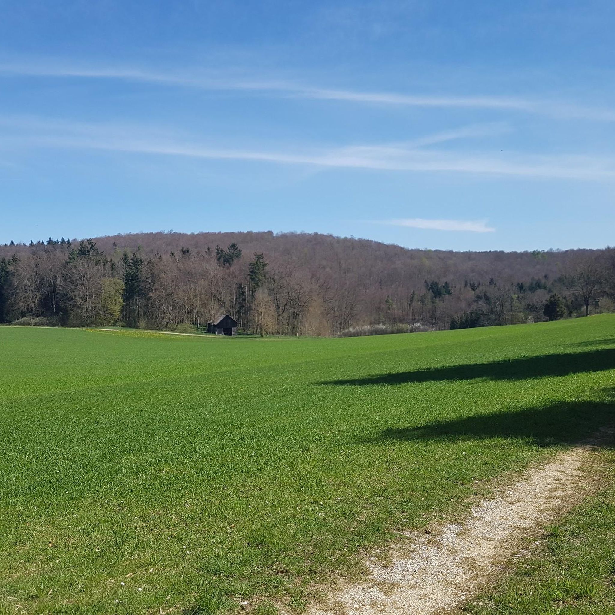
Hiking around Berghülen offers access to the diverse landscapes of the Swabian Alb, characterized by gentle hills and deep valleys. The region features karstified valley tributaries and typical Alb juniper heaths, providing varied terrain for exploration. Trails often follow river courses, such as the Blau River, and lead through woodlands and open countryside. This topography supports a range of hiking experiences, from easy walks to more challenging routes.
Best hiking trails around Berghülen
- The most popular hiking route is Trimmdichtreppe Forest Steps – St. Christoph Church loop from Treffensbuch, a 6.2 miles (10.0 km) trail that takes 2 hours 40 minutes to complete, featuring varied forest terrain and a historic church.
- Another top favourite among local hikers is Haldehüle Pond – Heuhaus Bühlenhausen loop from Berghülen, an easy 4.5 miles (7.3 km) path that explores rural landscapes and a tranquil pond.
- Local hikers also love the Heuhaus Bühlenhausen – Pischek Bridge loop from Berghülen, a 10.1 miles (16.2 km) trail leading through agricultural areas and across a bridge, often completed in about 4 hours 15 minutes.
- Hiking around Berghülen is defined by gentle hills, deep valleys, and juniper heaths. The network offers options for different ability levels, from easy strolls to moderate excursions.
- The routes in Berghülen are highly rated by the komoot community with an average score of 4.6 stars from over 70 reviews. More than 300 hikers have used komoot to explore Berghülen's varied terrain.
Last updated: October 11, 2026
4.5
(36)
143
hikers
9.96km
02:40
120m
120m
Moderate hike. Good fitness required. Easily-accessible paths. Suitable for all skill levels.
4.7
(24)
74
hikers
Easy hike. Great for any fitness level. Easily-accessible paths. Suitable for all skill levels.

3.8
(11)
34
hikers
15.6km
04:06
140m
140m
Moderate hike. Good fitness required. Easily-accessible paths. Suitable for all skill levels.
4.3
(9)
31
hikers
7.27km
01:55
60m
60m
Easy hike. Great for any fitness level. Easily-accessible paths. Suitable for all skill levels.
8
hikers
Easy hike. Great for any fitness level. Easily-accessible paths. Suitable for all skill levels.
Get access to more routes and recommendations from other explorers.
Already have an account?
Our route recommendations are based on thousands of hikes, rides, and runs completed by other people on komoot.
Start today with a free account
Your next adventure awaits.
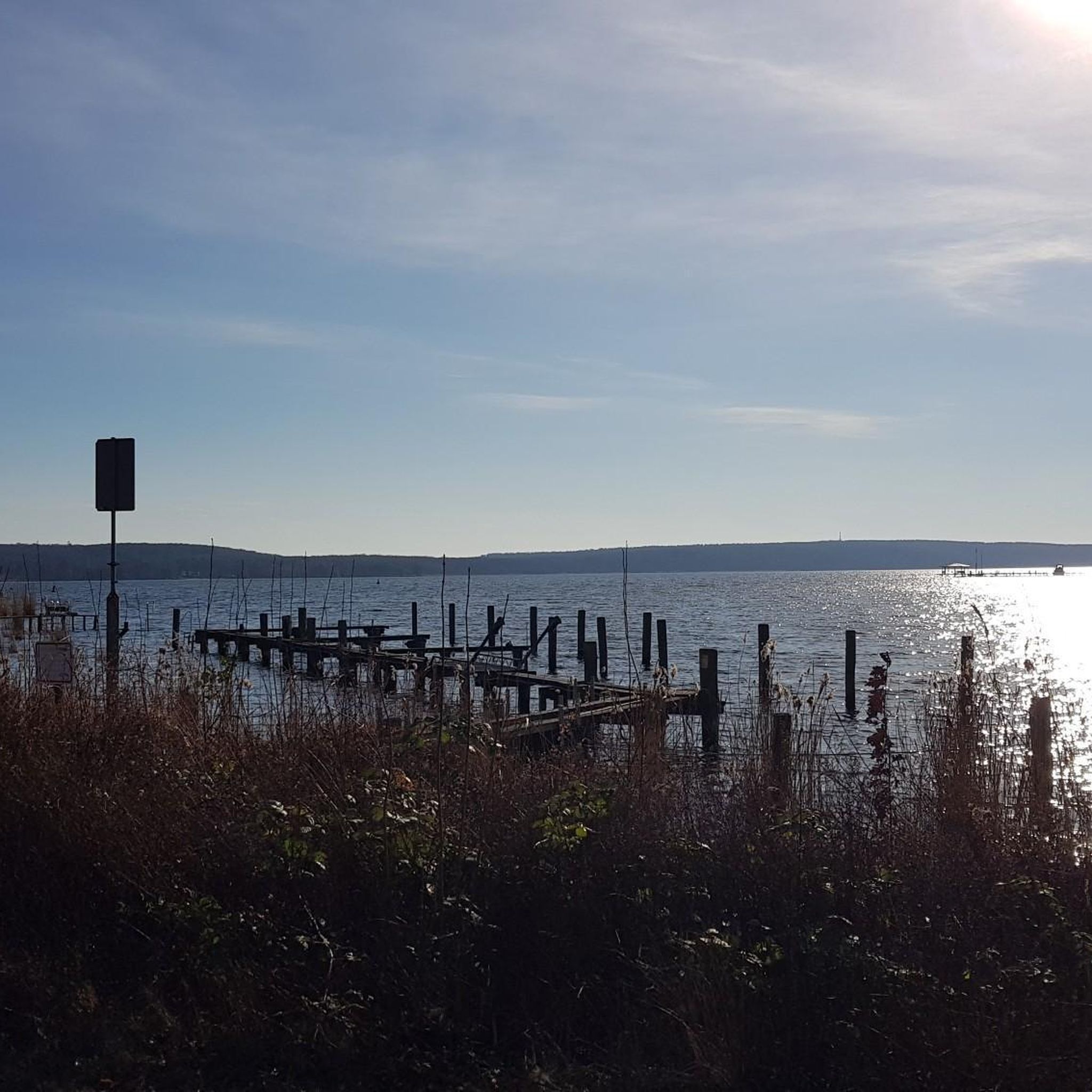
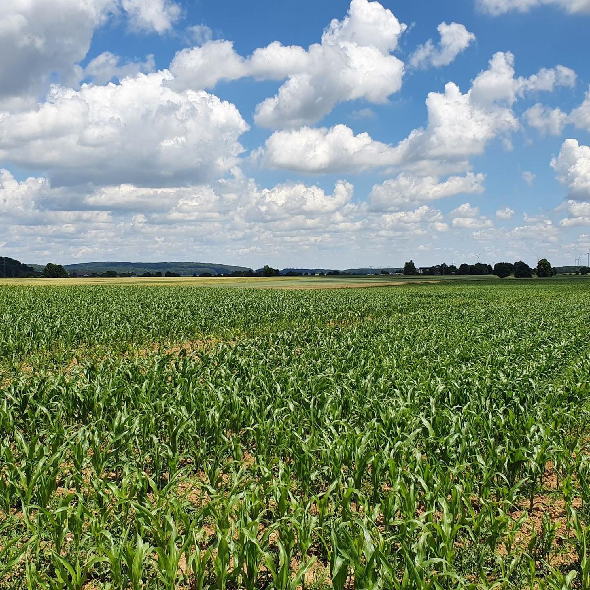
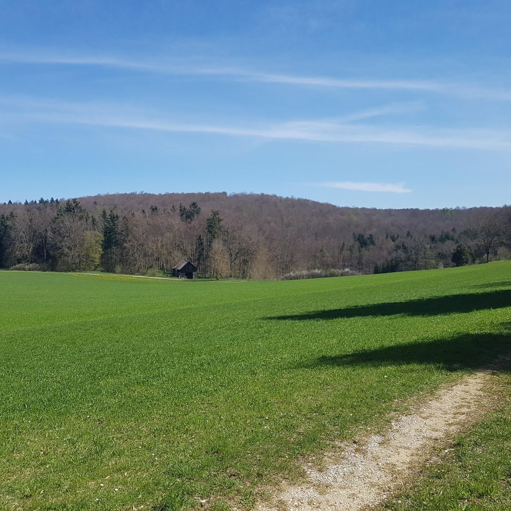

Tips from the Community


This is a medieval boundary stone. The "pretty stone" bears the three coats of arms of the neighboring territories. The "pig" is an elephant, the heraldic animal of the County of Helfenstein, which extended this far. The other boundary coats of arms are those of Württemberg and the Imperial City of Ulm.
1
0

Good parking as a starting point for hikes
2
0
The Haldenhüle is beautifully laid out and is well maintained
1
0
Very beautifully laid out and well-maintained Hüle
1
0

Really well paved, we encountered lots of (very fast!!) cars coming towards us towards the end of the working day, so we had to be careful!
0
0

In the middle of the allotment garden settlement
0
0

A nice place to rest and slow down. Thanks to the donors 👍.
1
0
Frequently Asked Questions
How many hiking trails are available around Berghülen?
There are over 35 hiking routes around Berghülen recorded on komoot, offering a wide range of experiences for different skill levels. These include 31 easy routes and 6 moderate trails.
What kind of landscape can I expect when hiking in Berghülen?
Hiking around Berghülen offers access to the diverse landscapes of the Swabian Alb, characterized by gentle hills and deep valleys. You'll find karstified valley tributaries, typical Alb juniper heaths, woodlands, and open countryside. Some trails also follow river courses, such as the Blau River, providing varied scenery.
Are there any easy hiking trails suitable for beginners in Berghülen?
Yes, Berghülen offers many easy trails perfect for beginners or those looking for a relaxed walk. For example, the Haldehüle Pond – Heuhaus Bühlenhausen loop from Berghülen is an easy 4.5 miles (7.3 km) path that explores rural landscapes and a tranquil pond.
What are the best seasons for hiking in Berghülen?
Spring and autumn are considered the best seasons for hiking in Berghülen, offering pleasantly mild weather, comfortable temperatures, and vibrant natural colors. While summer can be warm, early morning or evening hikes are still enjoyable.
Are there any family-friendly hiking routes in Berghülen?
Many of the easy trails in Berghülen are suitable for families. The region's gentle hills and varied terrain provide engaging walks for all ages. Consider routes that explore rural landscapes or lead to natural features, which can be particularly interesting for children.
Can I bring my dog on the hiking trails in Berghülen?
Generally, dogs are welcome on hiking trails in Berghülen and the Swabian Alb region. It's always advisable to keep your dog on a leash, especially in nature reserves or near livestock, and to respect local regulations. Ensure you carry water for your pet, particularly on longer routes.
Are there any circular hiking routes around Berghülen?
Yes, Berghülen features several well-marked circular hiking routes. An example is the Trimmdichtreppe Forest Steps – St. Christoph Church loop from Treffensbuch, which is 6.2 miles (10.0 km) and takes you through varied forest terrain and past a historic church.
What interesting natural features or attractions can I see along the hiking trails?
The region around Berghülen is rich in natural beauty and points of interest. You might encounter the famous Blautopf, a stunning karst spring, or unique rock formations like the Küssende Sau Rock Formation. There are also viewpoints offering panoramic vistas, such as the View of Blaubeuren from the Rock Outcrop.
What do other hikers enjoy most about hiking in Berghülen?
The hiking routes in Berghülen are highly rated by the komoot community, with an average score of 4.6 stars from over 70 reviews. Hikers often praise the diverse landscapes, from gentle hills and deep valleys to juniper heaths, and the well-maintained trails that cater to various ability levels.
Is there parking available at the trailheads in Berghülen?
Parking is generally available near trailheads and popular starting points for hikes in Berghülen and the surrounding area. For instance, the Treffensbuch Trailhead Parking loop from Kuhberg suggests a route starting from a parking area, indicating accessibility for drivers.
Are there any routes that offer good viewpoints?
Yes, the Swabian Alb region around Berghülen is known for its panoramic views. You can find viewpoints such as the View over Blaubeuren from Blaufels or the View of the summit cross on Rucken, which offer impressive vistas over the landscape.
Are there any historical sites or landmarks to explore while hiking?
Beyond natural beauty, the region also features historical points of interest. You might come across the Günzelburg Ruins or the Prehistoric Rampart on Hägelesberg Summit, offering glimpses into the area's past.
Most popular routes around Berghülen
Most popular attractions around Berghülen

Get inspired with the komoot mobile app


Explore more
Browse the best Hikes in other regions.
