The best running trails around Bouillé-Loretz
4.7
(8)
547
runners
66
runs
Jogging around Bouillé-Loretz offers a network of routes primarily characterized by gentle terrain and rural landscapes. The region features river valleys, such as those near the Argenton River, and open countryside, providing varied scenery for runners. With minimal significant elevation changes, most running routes are accessible and suitable for a range of fitness levels.
Best jogging routes around Bouillé-Loretz
- The most popular jogging route is Le Puy-Notre-Dame loop from Le Puy-Notre-Dame, a 15.4 miles (24.7 km) trail that takes…
Last updated: July 6, 2026
7
runners
24.6km
02:50
190m
190m
Hard run. Very good fitness required. Mostly accessible paths. Some sure footedness required.
4
runners
6.81km
00:44
30m
30m
Moderate run. Good fitness required. Mostly paved surfaces. Suitable for all skill levels.

Sign up for free
7
runners
13.4km
01:26
60m
60m
Moderate run. Good fitness required. Mostly paved surfaces. Suitable for all skill levels.
4
runners
6.28km
00:39
20m
20m
Moderate run. Good fitness required. Mostly paved surfaces. Suitable for all skill levels.
3
runners
9.08km
00:56
20m
20m
Moderate run. Good fitness required. Mostly paved surfaces. Suitable for all skill levels.
Get access to more routes and recommendations from other explorers.
Sign up for free
Already have an account?
Our route recommendations are based on thousands of hikes, rides, and runs completed by other people on komoot.
Start today with a free account
Your next adventure awaits.
Login or Signup
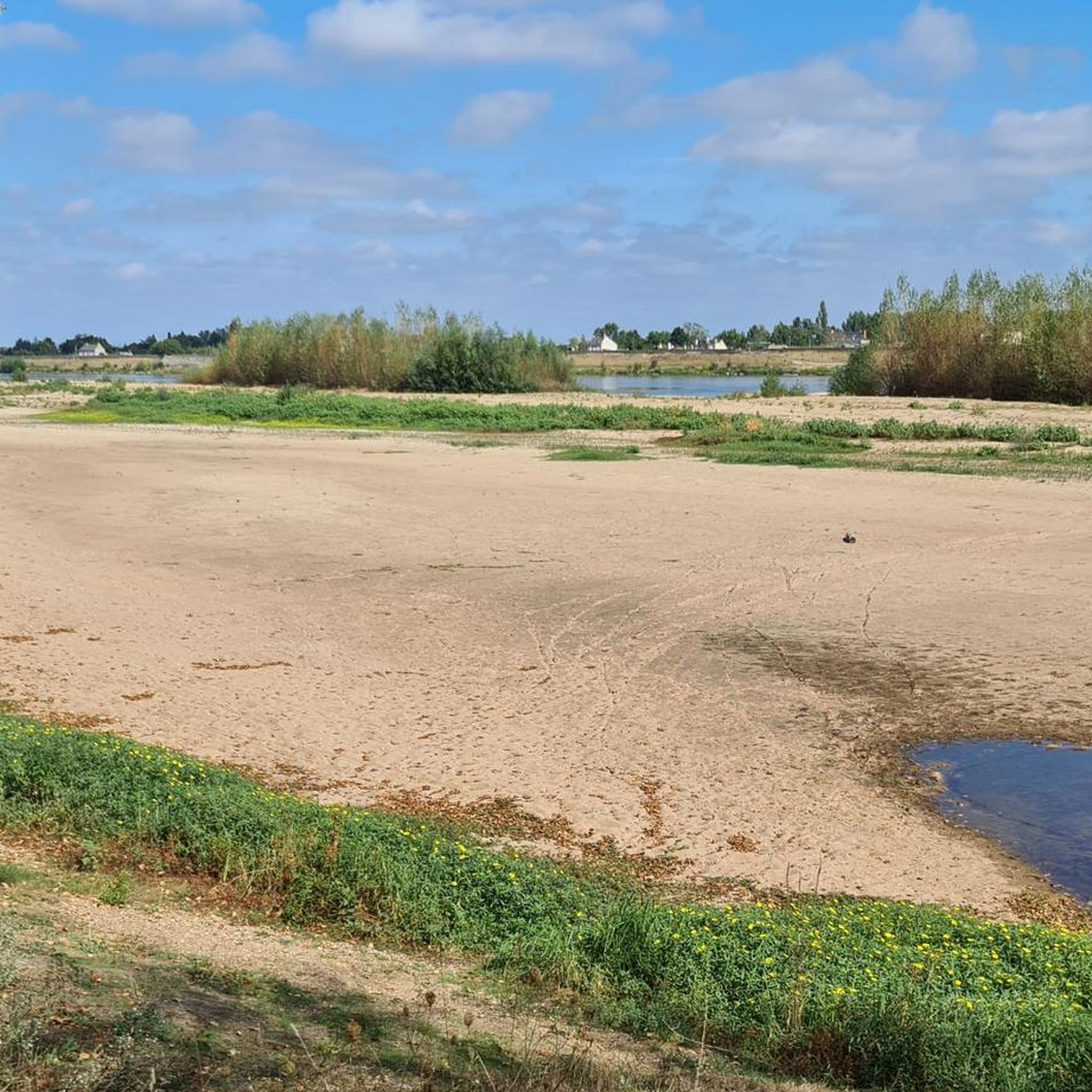


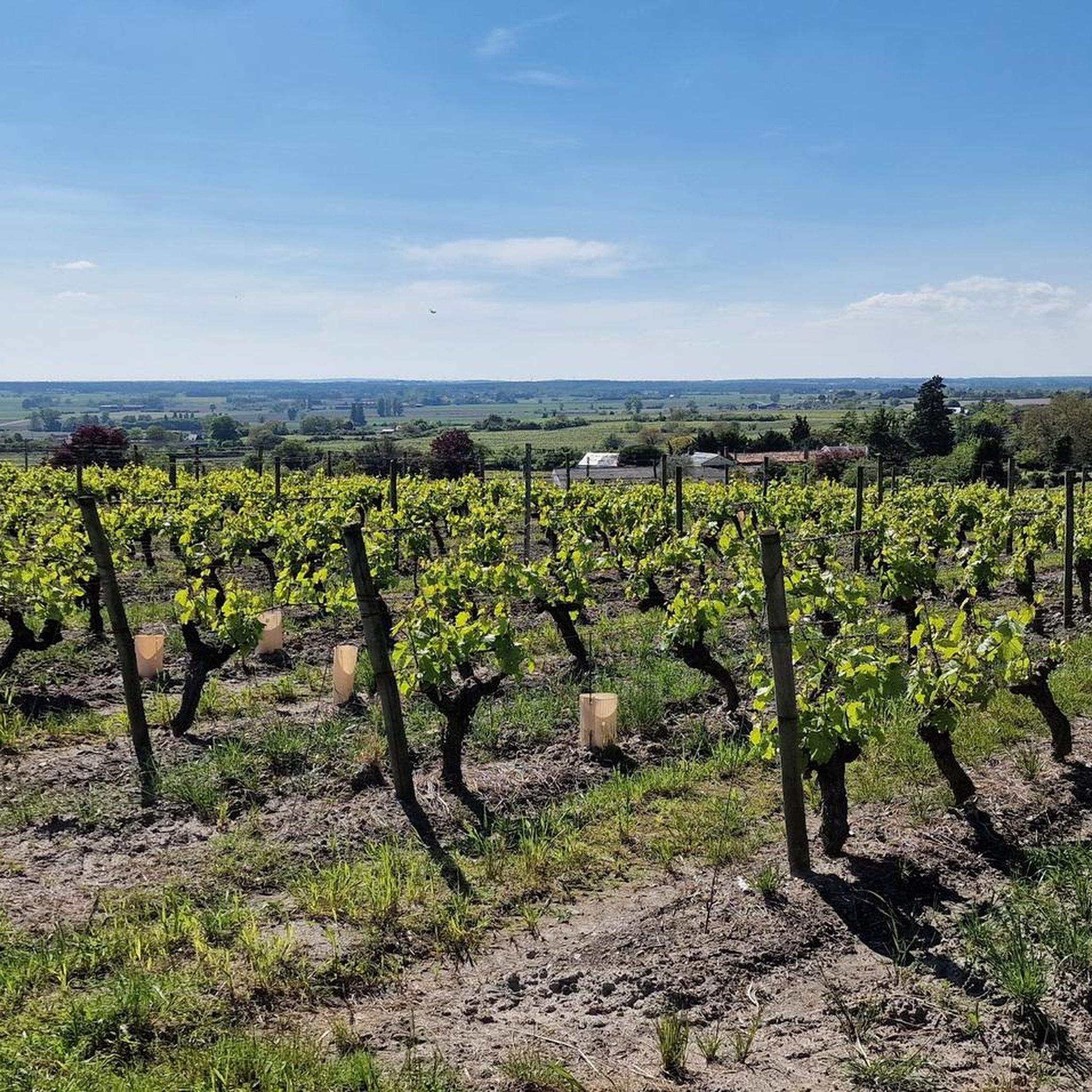
Tips from the Community

The community's house of worship stands out on the horizon with its tower like a landmark.
0
0

10-hectare body of water on the cycle route of the Thouet Valley. Swimming prohibited but you can cycle around it.
1
0
Very pretty bridge over the Argenton, with a very well equipped picnic area.
2
0

A little trip to the water's edge
0
1
Frequently Asked Questions
How many running routes are available in Bouillé-Loretz?
There are over 50 running routes around Bouillé-Loretz, offering a variety of distances and difficulty levels to explore the region's rural landscapes and river valleys.
Are there easy running routes suitable for beginners in Bouillé-Loretz?
Yes, Bouillé-Loretz offers several easy running routes perfect for beginners. The region is characterized by gentle terrain and minimal elevation changes, making most paths accessible. You'll find one specifically categorized as easy, and many of the 46 moderate routes are also suitable for those new to running.
What kind of terrain can I expect on the jogging trails around Bouillé-Loretz?
The jogging trails in Bouillé-Loretz primarily feature gentle terrain, rural landscapes, and open countryside. You can expect paths along river valleys, such as those near the Argenton River, and through agricultural fields. Most routes have minimal significant elevation changes, providing a comfortable running experience.
Are there any circular running routes in the area?
Yes, many of the running routes in Bouillé-Loretz are circular. For example, the Preuil Bridge on the Argenton River loop from Argenton-l'Église offers a moderate 4.2-mile (6.8 km) path along the river, and the La Ballastière loop from La Charpenterie is a 6.8-mile (11.0 km) trail through fields and country roads.
Can I find routes that are suitable for families with children?
Given the gentle terrain and minimal elevation changes, many of the moderate routes in Bouillé-Loretz are suitable for families. Paths along the Argenton River, for instance, offer pleasant, relatively flat sections that can be enjoyed by all ages. Look for shorter, less challenging routes for younger children.
Are the jogging trails in Bouillé-Loretz dog-friendly?
While specific regulations can vary, generally, the rural and open nature of Bouillé-Loretz's trails makes them suitable for running with dogs, provided they are kept on a leash and you clean up after them. Always be mindful of agricultural land and local wildlife.
What are some scenic points of interest or landmarks I might see while running?
While running in Bouillé-Loretz, you might encounter various scenic points and landmarks. The region is home to historical sites like Montreuil-Bellay Castle and Château de Passavant. You could also pass by natural features such as the Ballastière Pond or areas near the Saumur Wine Route.
What do other runners say about the trails in Bouillé-Loretz?
The running routes in Bouillé-Loretz are highly rated by the komoot community, with an average score of 4.8 stars from more than 5 reviews. Runners often praise the tranquil river paths, open agricultural landscapes, and the overall peacefulness of the area, making it ideal for a relaxing run.
Are there any longer running routes for experienced runners?
Yes, for experienced runners seeking a longer challenge, the Le Puy-Notre-Dame loop from Le Puy-Notre-Dame is a difficult 15.4-mile (24.7 km) trail. This route features rolling hills and expansive views, taking approximately 2 hours 50 minutes to complete.
What is the best time of year to go jogging in Bouillé-Loretz?
The best time to go jogging in Bouillé-Loretz is typically during spring and autumn when the weather is mild and the natural scenery is vibrant. Summer can also be pleasant, especially in the mornings or evenings, but always check local weather conditions. Winter running is possible, but some paths might be muddy.
Are there routes that follow the Argenton River?
Yes, several routes in Bouillé-Loretz follow the Argenton River, offering pleasant riverside scenery. A popular choice is the Preuil Bridge on the Argenton River loop from Argenton-l'Église, which provides relatively flat sections alongside the water.
What are the typical elevation changes on running routes in this region?
The running routes in Bouillé-Loretz are generally characterized by minimal significant elevation changes. While some longer routes like the Le Puy-Notre-Dame loop feature rolling hills with around 195 meters of ascent, many other routes, such as the Preuil Bridge loop, have very gentle inclines, often less than 30 meters.
Most popular routes around Bouillé-Loretz
Most popular attractions around Bouillé-Loretz

Get inspired with the komoot mobile app


Explore more
Browse the best Running Trails & Routes in other regions.
