The best walks and hikes around Chiché
4.3
(64)
359
hikers
44
hikes
Hiking around Chiché, located in the Deux-Sèvres department of France, offers a network of trails through a gentle, rural landscape. The region is characterized by low elevation changes, often featuring paths that connect villages and traverse areas with ponds and small bodies of water. These routes provide opportunities to explore the local countryside, with trails suitable for various activity levels.
Best hiking trails around Chiché
- The most popular hiking route is Boismé Village Paths Loop, an easy 3.7 miles…
Last updated: October 7, 2026
5.0
(1)
5
hikers
5.96km
01:34
50m
50m
Enjoy an easy 3.7-mile loop hike around the picturesque Plan d'eau de Boismé, featuring bocage scenery and unique sunken paths.
6
hikers
9.25km
02:29
110m
110m
Moderate hike. Good fitness required. Easily-accessible paths. Suitable for all skill levels.

3.5
(2)
10
hikers
9.01km
02:19
40m
40m
Moderate hike. Good fitness required. Easily-accessible paths. Suitable for all skill levels.
5.0
(3)
12
hikers
13.9km
03:39
130m
120m
Moderate hike. Good fitness required. Easily-accessible paths. Suitable for all skill levels.
4.5
(2)
7
hikers
12.2km
03:12
110m
110m
Moderate hike. Good fitness required. Easily-accessible paths. Suitable for all skill levels.
Get access to more routes and recommendations from other explorers.
Already have an account?
Our route recommendations are based on thousands of hikes, rides, and runs completed by other people on komoot.
Start today with a free account
Your next adventure awaits.



Tips from the Community

Sturdy shoes and rain gear are recommended. Enjoy this walk.
0
0

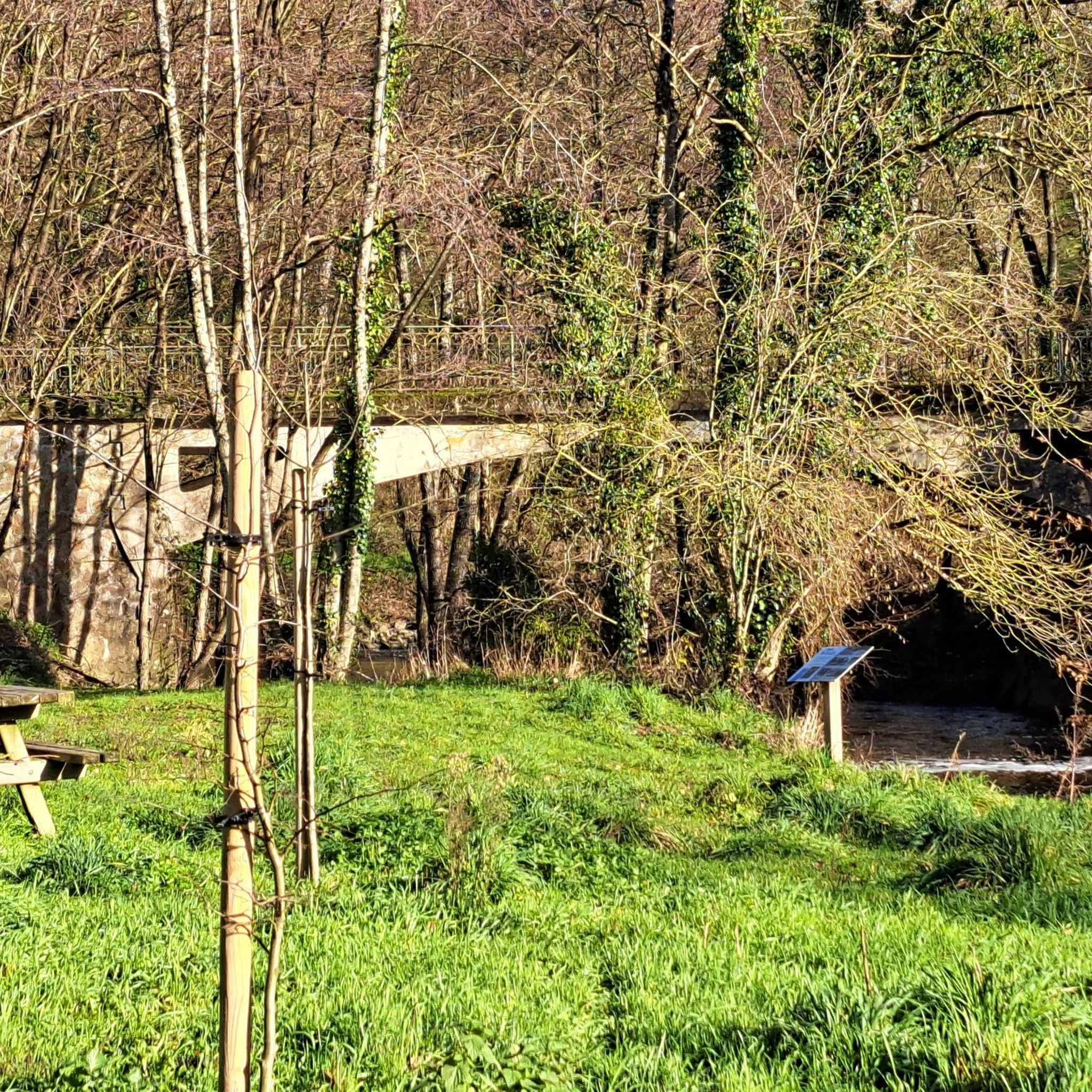
The old Clécé train station marks a stop on the old railway line converted into a greenway. The disused building, with its simple lines and exposed timbers, is a perfect resting spot for a break.
1
0

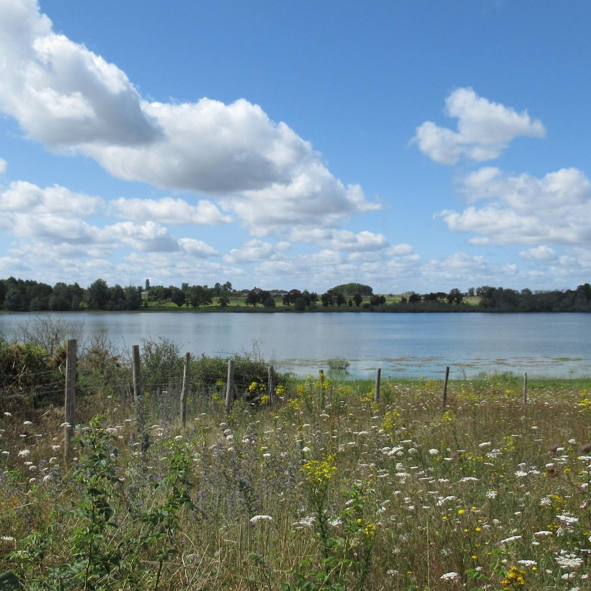
The Boismé water body is an easy-to-access and well-equipped body of water, offering an ideal site for fishing and family walks. You can enjoy the rich diversity of fish, such as carp, pike and zander, as well as the beautiful views of the water and the surrounding countryside. The hike around the lake is approximately 4 km and is suitable for all fitness levels. There is also a picnic area, playground and snack bar near the lake. The Boismé lake is an ideal place to enjoy nature and have fun.
3
0

A path incredibly dug by time between two high bocage hedges. Surprising!
0
0
Frequently Asked Questions
How many hiking trails are available around Chiché?
There are over 45 hiking routes available around Chiché, offering a variety of options for exploring the Deux-Sèvres countryside. These include 17 easy trails and 29 moderate paths.
What kind of terrain can I expect on hikes around Chiché?
Hikes around Chiché typically feature a gentle, rural landscape with low elevation changes. You'll find paths connecting villages, traversing areas with ponds, and winding through the local countryside. The terrain is generally accessible and suitable for various activity levels.
Are there family-friendly hiking options in Chiché?
Yes, Chiché offers several easy routes perfect for families. The trails are generally gentle with low elevation, making them suitable for all ages. An example is the Boismé Village Paths Loop, an easy 3.7-mile (6.0 km) trail.
Are there any circular walks available in Chiché?
Many of the routes around Chiché are circular, allowing you to start and end at the same point. For instance, the Plan d'eau de Boismé – A very sunken path loop from Boismé is a popular moderate circular path that explores the area around a local body of water.
What do other hikers enjoy most about hiking in Chiché?
The hiking routes in Chiché are highly rated by the komoot community, with an average score of 4.2 stars from over 50 reviews. Hikers often praise the peaceful rural setting, the gentle paths, and the opportunities to explore the local villages and ponds.
Are there any interesting landmarks or attractions near the hiking trails?
While hiking around Chiché, you can explore several nearby attractions. These include the historic Bressuire Castle, the Historic Roux Mill Ruins on the Coulée Verte, and the charming village of Saint-Loup-Lamairé.
What is the typical length and duration of hikes in Chiché?
Hikes in Chiché vary in length and duration. Easy trails, like the Boismé Village Paths Loop, are around 3.7 miles (6.0 km) and take about 1 hour 35 minutes. Moderate routes, such as the Étang du Bordage loop from Bressuire, are typically around 5.7 miles (9.1 km) and can take about 2 hours 20 minutes.
Are there any trails that feature ponds or water bodies?
Yes, many trails in the Chiché area incorporate ponds and small bodies of water into their routes. The Old Clécé station – Ponds loop from Clessé is a moderate 8-mile (12.9 km) hike that specifically highlights these natural features.
What is the best time of year to go hiking in Chiché?
The gentle terrain and rural setting of Chiché make it suitable for hiking during much of the year. Spring and autumn offer pleasant temperatures and beautiful scenery, while summer provides longer daylight hours. Always check local weather conditions before heading out.
Is there parking available at the trailheads?
While specific parking information for every trailhead is not always available, most rural villages and popular starting points for hikes in France typically offer designated parking areas or roadside parking. It is advisable to check local signage upon arrival.
Are there any longer, more challenging moderate hikes available?
For those seeking a longer moderate excursion, the Étang de L'Olivette loop from La Chapelle-Saint-Laurent is a good option. This route covers about 7.6 miles (12.2 km) and takes approximately 3 hours 10 minutes to complete, offering varied scenery around the pond.
Most popular attractions around Chiché

Get inspired with the komoot mobile app


Explore more
Browse the best Hikes in other regions.
