The best MTB trails around Saint-Didier-Sous-Riverie
4.3
(578)
2,693
riders
259
rides
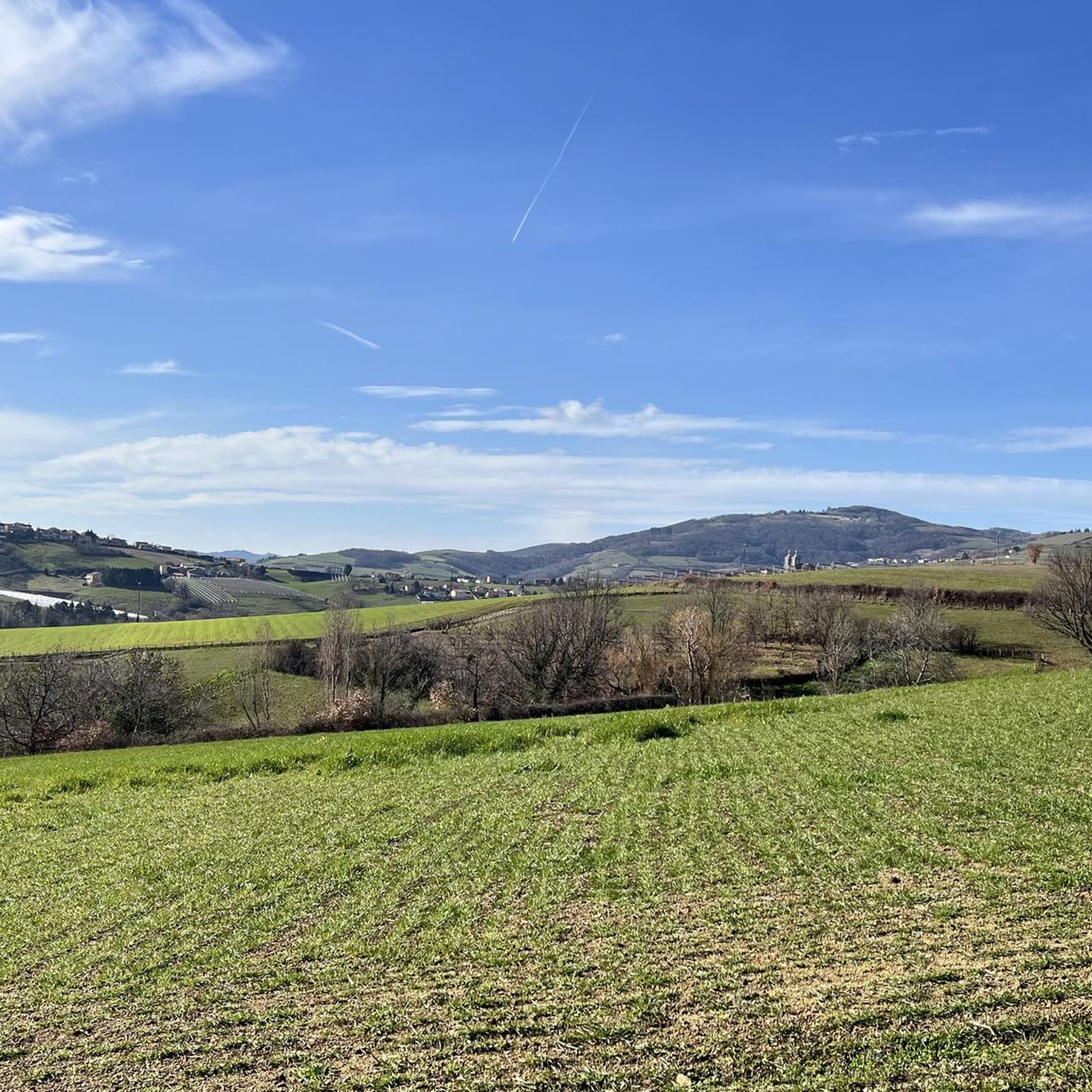
Mountain biking around Saint-Didier-Sous-Riverie offers varied terrain within the picturesque Monts du Lyonnais. The region features a blend of natural beauty, including valleys, hamlets, and the prominent Signal de Saint-André. Trails navigate through charming countryside vistas and areas shaped by livestock farming, providing diverse landscapes for mountain bikers. This network of routes caters to different skill levels, from moderate rides to more challenging paths.
Best mountain bike trails around Saint-Didier-Sous-Riverie
- The most popular mountain bike trail is Nice – Pont…
Last updated: July 1, 2026
4.2
(16)
76
riders
27.6km
02:09
350m
350m
Moderate mountain bike ride. Good fitness required. Suitable for all skill levels.
3.7
(7)
16
riders
21.9km
01:48
320m
320m
Moderate mountain bike ride. Good fitness required. Suitable for all skill levels.

Sign up for free
3.7
(3)
13
riders
21.9km
02:12
600m
600m
Moderate mountain bike ride. Good fitness required. Advanced riding skills necessary.
4.0
(2)
13
riders
20.6km
01:55
490m
490m
Moderate mountain bike ride. Good fitness required. Suitable for all skill levels.
4.5
(2)
12
riders
49.2km
05:05
1,510m
1,500m
Hard mountain bike ride. Very good fitness required. Advanced riding skills necessary.
Get access to more routes and recommendations from other explorers.
Sign up for free
Already have an account?
Our route recommendations are based on thousands of hikes, rides, and runs completed by other people on komoot.
Start today with a free account
Your next adventure awaits.
Login or Signup
Popular around Saint-Didier-Sous-Riverie
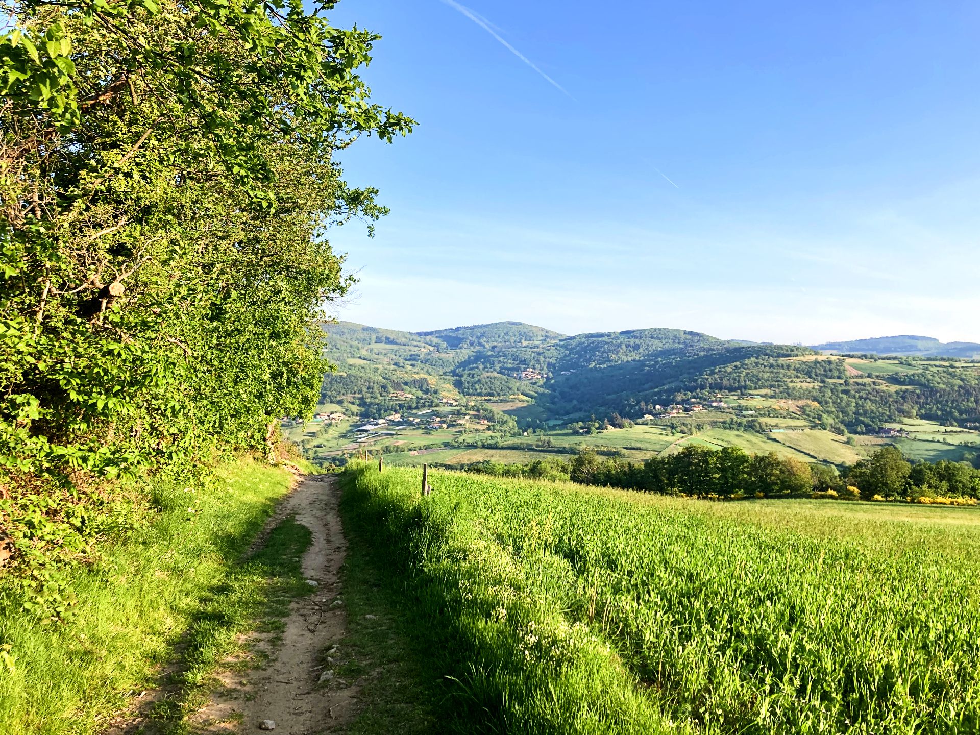
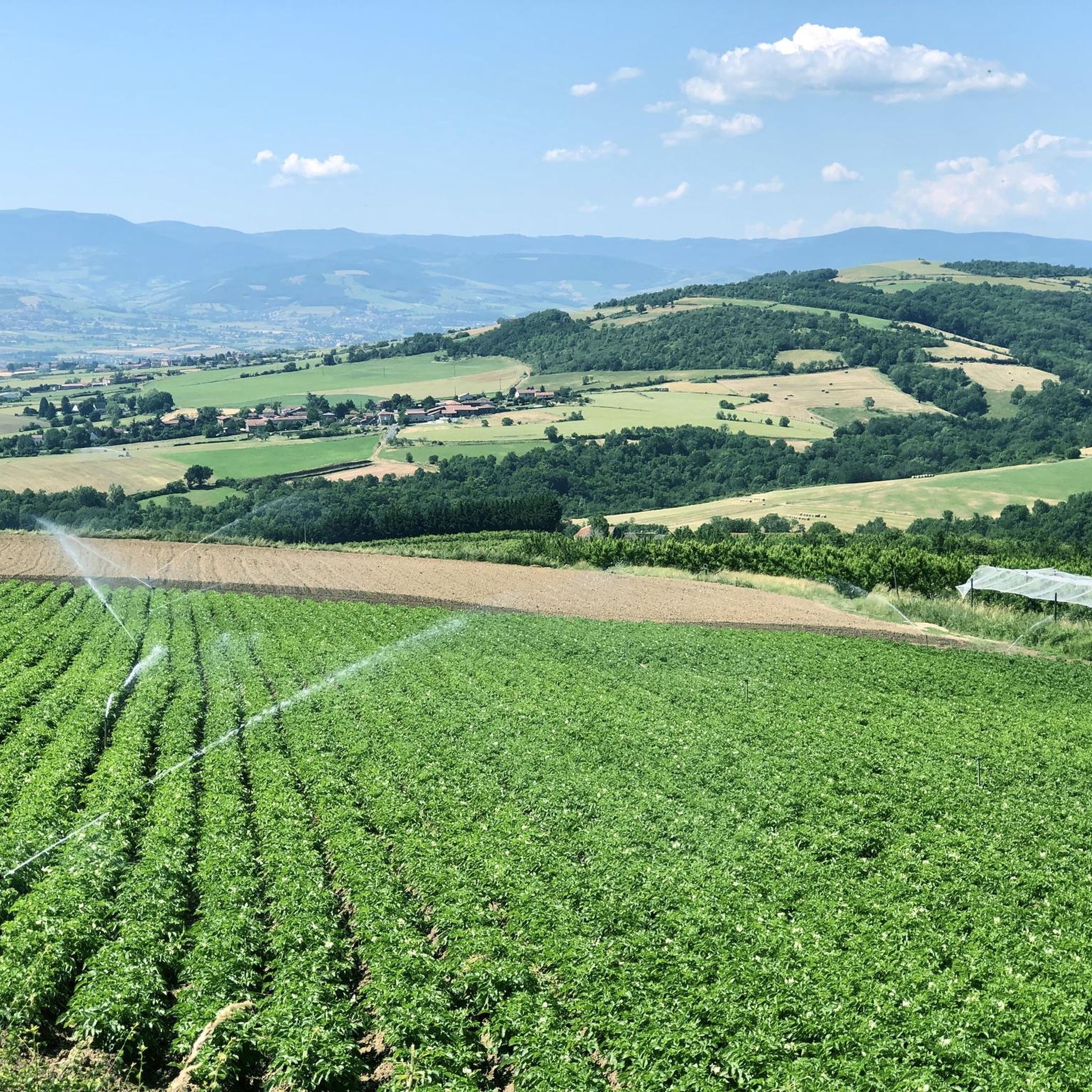
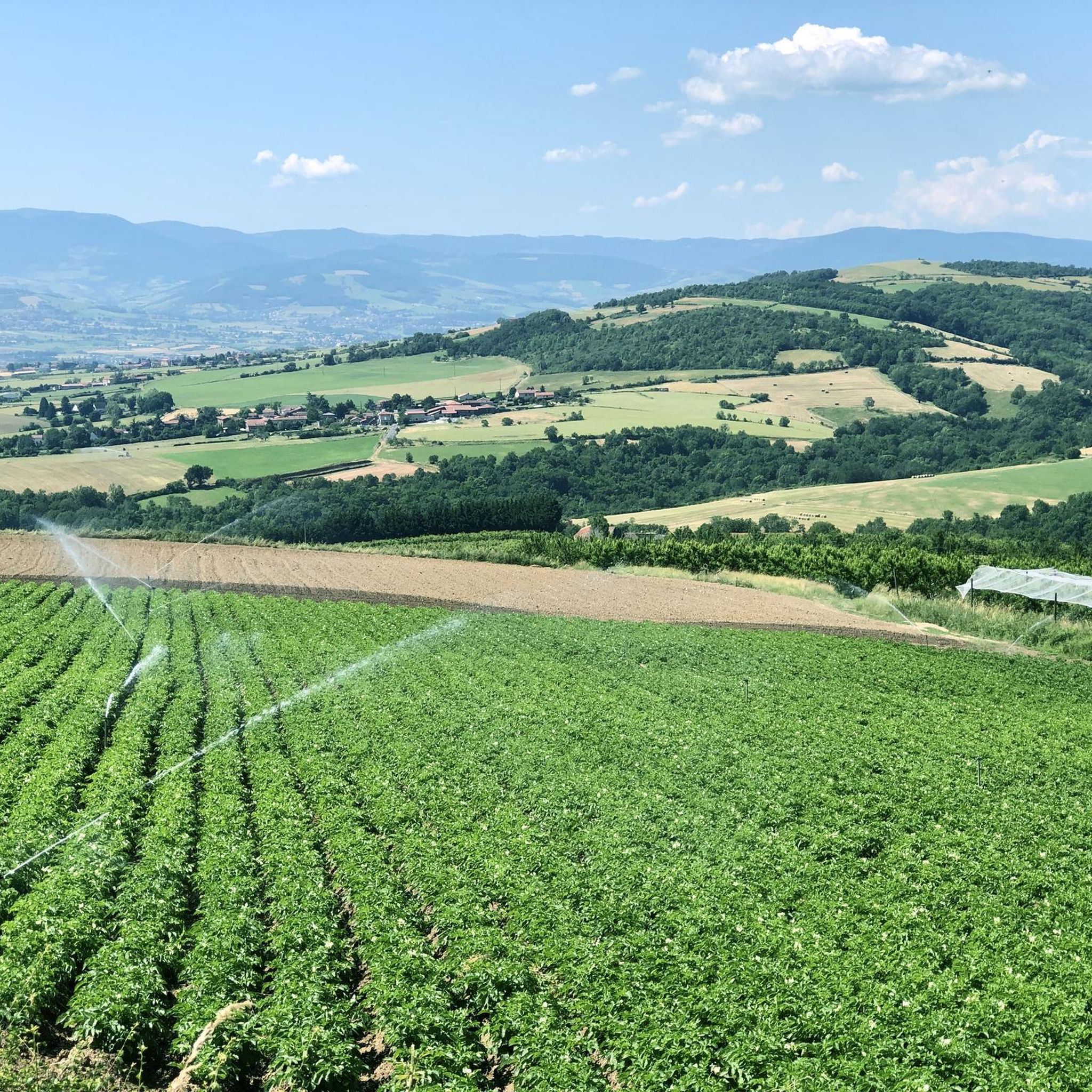
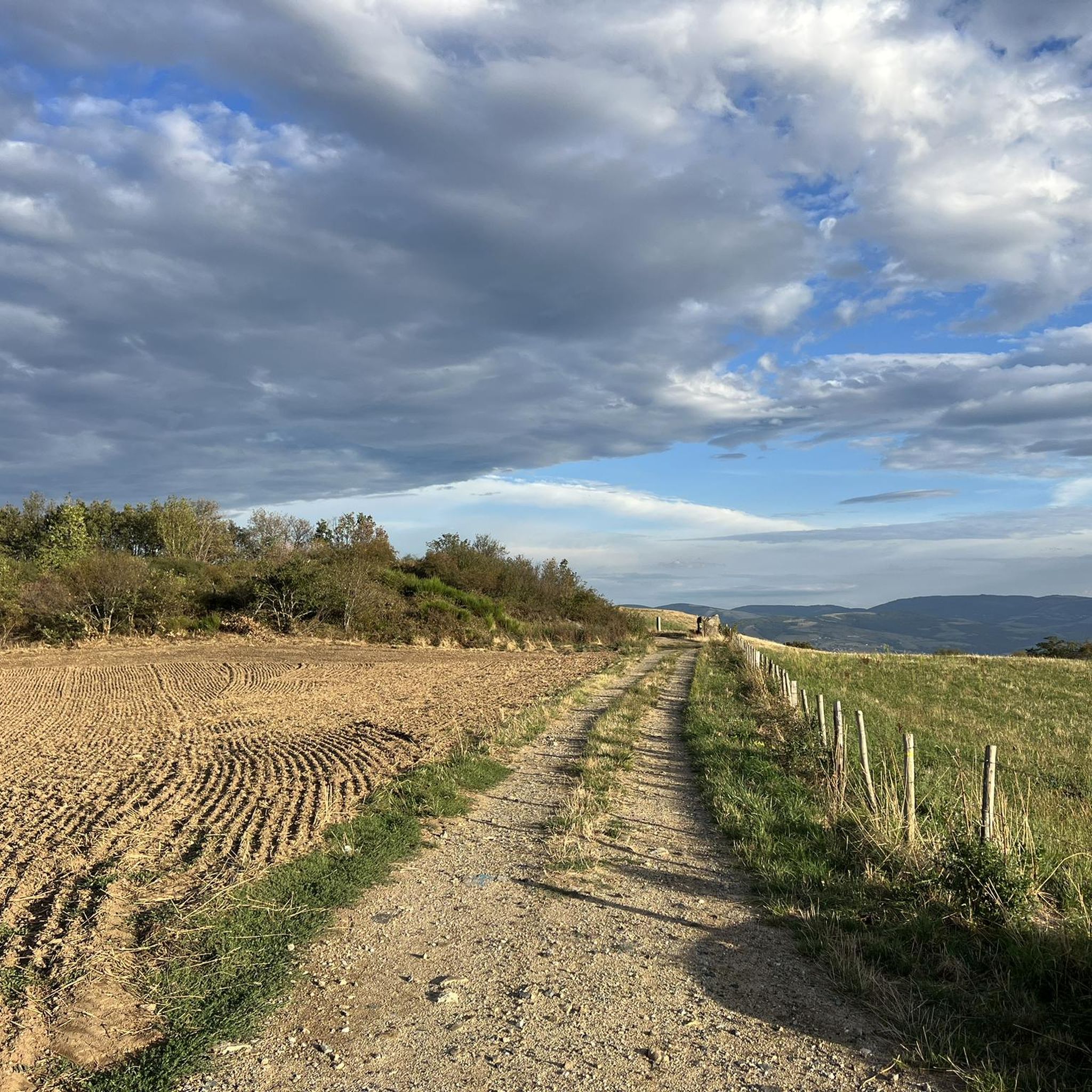

Other adventures around Saint-Didier-Sous-Riverie

Tips from the Community

Beautiful undergrowth, green place, view of Pilat and the Monts du Lyonnais
0
0

As you pass near the zoo, you will be able to hear and even see certain animals
0
0

Located in the town of Larajasse, this chapel was initially called the Chapel of Fontillon before being renamed the Chapel of La Salette. It is ideally located and offers a beautiful panorama of the Monts du Lyonnais, Pilat and the Alps if the sky is clear. A mass is celebrated every September in the chapel (month of apparition of the Virgin Salette).
0
0

Very nice chapel, in principle we can visit, the door was open.
0
0

The Boutonne viaduct whose six curved arches have a span of 108 meters, a real marvel.
1
0


The Crêt Malherbe is the highest point of the Monts du Lyonnais with an altitude of 943 meters (only 934 meters for the Signal de Saint André).
0
0
Frequently Asked Questions
How many mountain bike trails are there around Saint-Didier-Sous-Riverie?
There are over 250 mountain bike trails available around Saint-Didier-Sous-Riverie. The network offers a wide range of options, including 23 easy, 168 moderate, and 68 difficult routes, catering to various skill levels.
What kind of terrain can I expect when mountain biking in the Monts du Lyonnais region?
The Monts du Lyonnais region, where Saint-Didier-Sous-Riverie is located, features varied terrain with rolling hills, scenic valleys, and charming countryside vistas. You'll encounter a mix of natural beauty, including areas shaped by livestock farming, and the prominent Signal de Saint-André. Trails range from technical descents to more gentle rides.
Are there any family-friendly mountain bike trails in Saint-Didier-Sous-Riverie?
While many trails in the region are moderate to difficult, there are 23 easy routes that could be suitable for families or beginners. These trails typically have less elevation gain and smoother paths, offering a more relaxed experience. Always check the route details on komoot for specific difficulty ratings and terrain information to ensure it matches your family's skill level.
Can I find circular mountain bike routes in the area?
Yes, many mountain bike trails around Saint-Didier-Sous-Riverie are designed as loops. For example, the moderate Nice – Pont de la boutonne loop from Chabanière is a popular choice, covering 27.6 km. Another option is the View of Les A Peri – Chapel on the Hill loop from Sainte-Catherine, which offers views from higher ground over 21.9 km.
What are some notable natural features or viewpoints I can discover while mountain biking?
The region offers several natural features and viewpoints. The Signal de Saint-André, the emblematic summit of the Monts du Lyonnais, provides expansive views of the Alps, Forez mountains, and the Rhône valley. You might also encounter the Les Roches de Marlin or the Crêt Malherbe, the highest point of the Monts du Lyonnais.
Are there any lakes or dams accessible by mountain bike for a scenic break?
Yes, the Thurins Dam is a small, tranquil spot ideal for a peaceful break, featuring a picnic area. Other nearby bodies of water include the Couzon Dam and the Lac de la Madone, which also has a Statue of the Virgin Mary.
What do other mountain bikers say about the trails in Saint-Didier-Sous-Riverie?
The mountain biking experience in Saint-Didier-Sous-Riverie is highly rated by the komoot community, with an average score of 4.3 stars from over 500 reviews. More than 2,800 mountain bikers have explored the varied terrain, often praising the diverse landscapes and the options available for different ability levels.
Are there any longer, more challenging mountain bike routes for experienced riders?
Yes, for experienced riders seeking a challenge, there are 68 difficult routes in the area. A notable option is the Col de la Gachet – Boutonne Viaduct loop from Chabanière, a 51.5 km trail that typically takes around 4 hours 43 minutes to complete and involves significant elevation changes.
What is the typical duration for mountain bike trails in this region?
Trail durations vary significantly based on distance and difficulty. Moderate routes like the Mouth (no small trails) – Fairly smooth descent loop from La Roche can take under two hours, while longer, more difficult trails, such as the Col de la Gachet – Boutonne Viaduct loop from Chabanière, can take over four hours.
Are there any historical or cultural attractions near the mountain bike trails?
Beyond natural beauty, you can find historical points of interest. The Châtelus Castle and Virgin's Fountain is one such site. Additionally, the nearby village of Taluyers features a Cluniac priory founded in 999, with medieval architecture and a Romanesque church, offering a glimpse into the region's past.
What is the best time of year to go mountain biking in Saint-Didier-Sous-Riverie?
The Monts du Lyonnais region is generally pleasant for mountain biking from spring through autumn. Spring offers lush greenery and comfortable temperatures, while autumn provides beautiful foliage. Summers can be warm, so early morning or late afternoon rides are often preferred. Always check local weather conditions before heading out.
Are there any trails that offer a mix of technical riding and flowy sections?
Yes, the diverse terrain allows for a mix of riding styles. Routes like the Mouth (no small trails) – Rocks and Flow loop from La Roche are designed to provide both challenging technical sections and enjoyable flowy descents, offering a dynamic experience for riders.
Most popular routes around Saint-Didier-Sous-Riverie
Most popular attractions around Saint-Didier-Sous-Riverie

Get inspired with the komoot mobile app


Explore more
Browse the best MTB trails in other regions.
