The best walks and hikes around Arandas
4.5
(732)
4,570
hikers
144
hikes
Hiking around Arandas offers exploration of an elevated pastoral environment in the highlands of Jalisco, Mexico. The region is situated on the Mesa Central at approximately 6,762 feet (2,061 meters), providing sweeping vistas across the tequila-producing Los Altos area. Key natural features include the Área Natural Protegida Cerro de Arandas, which preserves oak and pine forests, and extensive agave fields that create distinct visual landscapes.
Best hiking trails around Arandas
- The most popular hiking route is Ridge Path loop from…
Last updated: October 14, 2026
4.7
(13)
67
hikers
17.7km
06:17
970m
970m
Hard hike. Very good fitness required. Easily-accessible paths. Suitable for all skill levels.
4.8
(10)
48
hikers
13.6km
04:21
490m
490m
Moderate hike. Good fitness required. Mostly accessible paths. Sure-footedness required.

3.7
(3)
9
hikers
6.37km
02:05
260m
270m
Moderate hike. Good fitness required. Easily-accessible paths. Suitable for all skill levels.
5.0
(1)
17
hikers
16.0km
05:15
670m
670m
Hard hike. Very good fitness required. Easily-accessible paths. Suitable for all skill levels.
10
hikers
10.8km
03:33
490m
490m
Moderate hike. Good fitness required. Easily-accessible paths. Suitable for all skill levels.
Get access to more routes and recommendations from other explorers.
Already have an account?
Our route recommendations are based on thousands of hikes, rides, and runs completed by other people on komoot.
Start today with a free account
Your next adventure awaits.
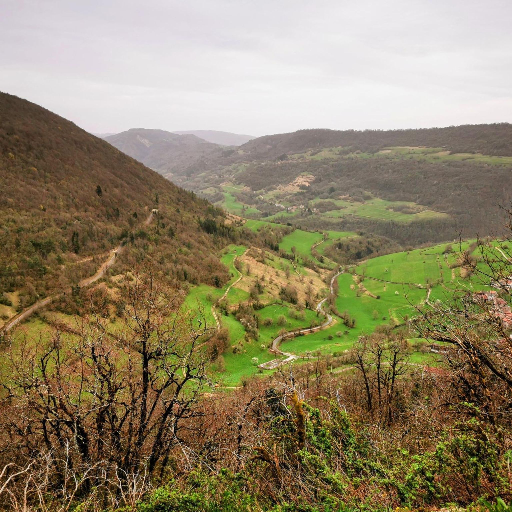
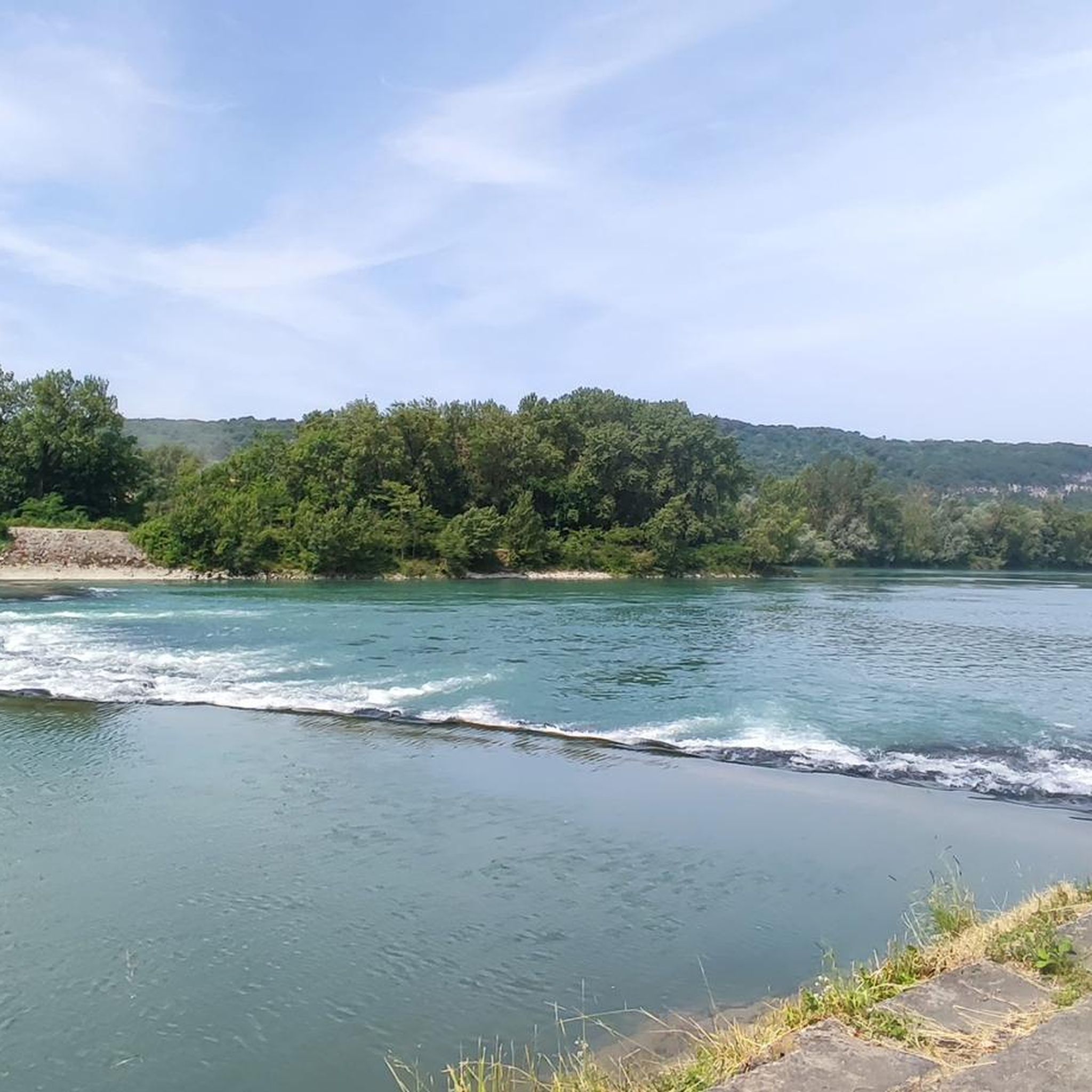

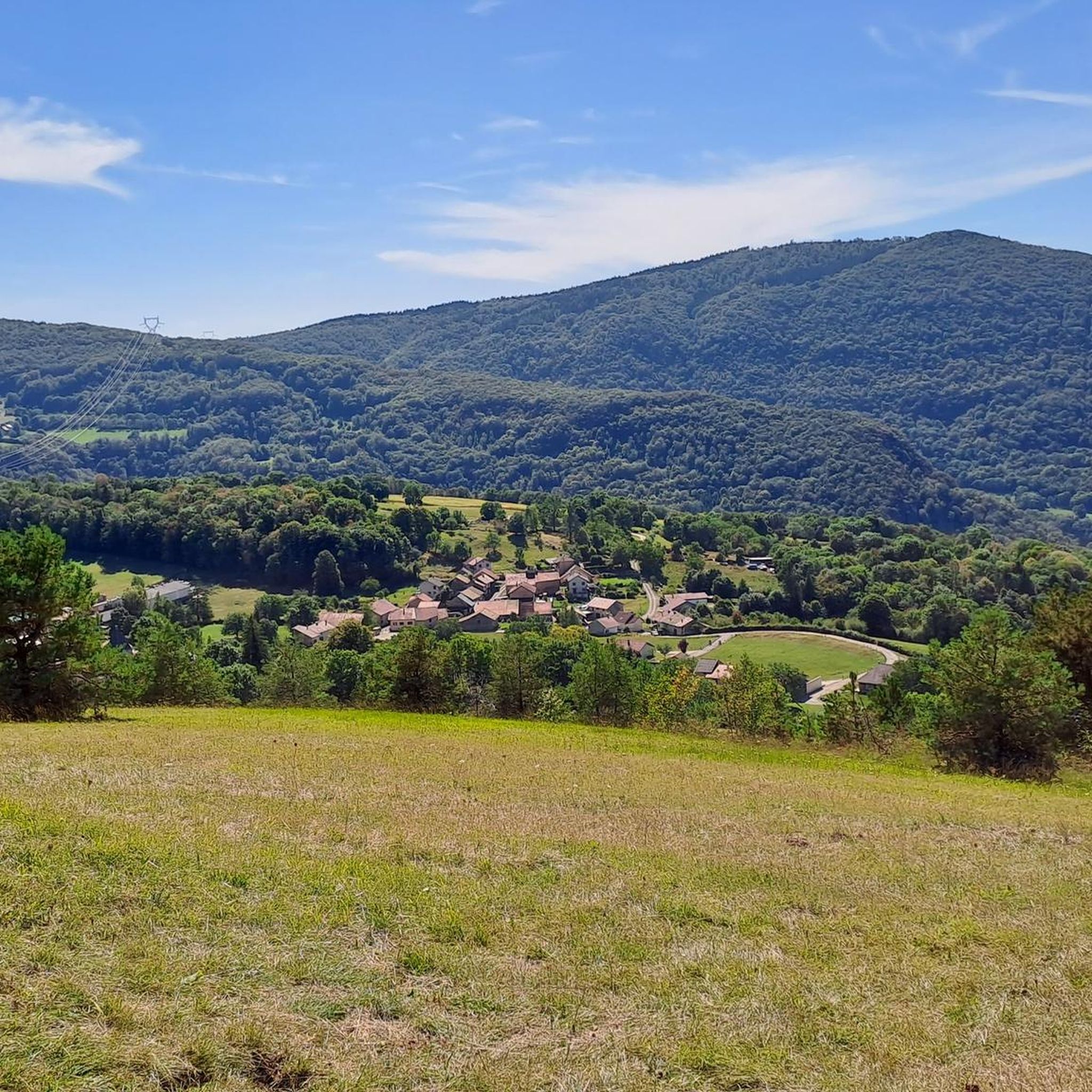
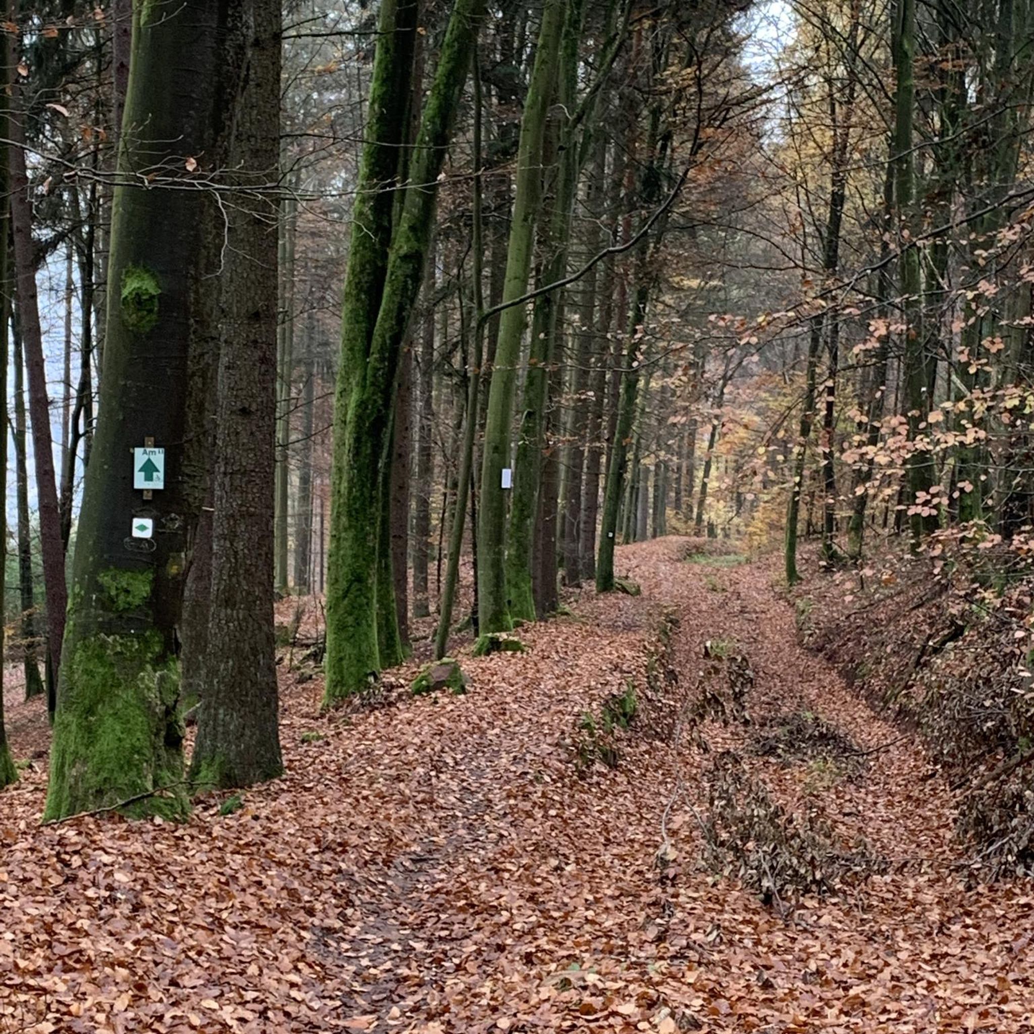
Tips from the Community

Spectacular! One of the most beautiful views in the region. Incredible sunset.
0
0

Magnificent pass with a beautiful view a little higher up on Oncieu.
1
0

View of the village of Oncieu
1
0

A very friendly welcome in a very charming and comfortable establishment, at a very reasonable price, I recommend...
0
0

The climb is quite steep. There are picnic tables and garbage cans upstairs.
0
0

This hike is a day trip on its own. Magnificent views when you get higher. In winter remember to take waterproof shoes because we quickly find snow. The whole thing is not technical, I would say easy. The climb at the beginning is quite steep but still doable. The only difficulty of this hike remains its distance.
0
0

Uncrowded road. Beautiful panorama. A short path to the pass allows you to benefit from a beautiful point of view.
3
0
Frequently Asked Questions
How many hiking trails are available in Arandas?
Arandas offers a wide variety of hiking experiences, with over 120 routes available. These trails cater to different skill levels, including easy, moderate, and difficult options.
What kind of terrain and landscapes can I expect when hiking in Arandas?
Hiking in Arandas takes you through an elevated pastoral environment on the Mesa Central, offering sweeping vistas across the tequila-producing Los Altos region. You'll encounter diverse landscapes, including the oak and pine forests of the Área Natural Protegida Cerro de Arandas, and visually striking agave fields that are central to the region's tequila heritage.
Are there easy hiking options suitable for beginners or families in Arandas?
Yes, Arandas has numerous easy hiking options. There are 38 routes specifically graded as easy, perfect for those new to hiking or looking for a relaxed family outing. An example of an easy route is the Hiking loop from Chartreuse Sainte-Marie-des-Portes, which covers about 6.7 km.
Can I find circular hiking routes around Arandas?
Absolutely. Many of the trails in Arandas are designed as loops, allowing you to start and end at the same point. For instance, the challenging Ridge Path loop from Tenay/Hauteville is a popular circular route, as is the moderate Evosges Pass loop from Argis.
What natural landmarks or points of interest can I see while hiking in Arandas?
While hiking in Arandas, you can explore the Área Natural Protegida Cerro de Arandas, known for its oak and pine forests and peaceful atmosphere. The extensive agave fields also create unique and photogenic landscapes. For specific natural attractions, consider visiting the beautiful Brive Waterfall or the serene Lac Bleu on the Gardon.
Are there any waterfalls accessible on hikes near Arandas?
Yes, the region around Arandas features several beautiful waterfalls. The Brive Waterfall is a notable highlight. Other waterfalls in the vicinity include the Claire Fontaine Waterfall and the impressive Charabotte Waterfall, offering refreshing sights during your hikes.
What makes hiking in Arandas unique compared to other regions?
Arandas offers a distinctive hiking experience due to its elevated position on the Mesa Central, providing crisp air and panoramic views of the Jalisco highlands. The combination of the protected oak and pine forests of Cerro de Arandas, the visually striking agave fields, and the overall pastoral environment creates a unique blend of natural beauty and cultural significance tied to tequila production.
What is the best time of year to go hiking in Arandas?
Arandas, with its elevated terrain, offers a refreshing escape. The region is known for its peaceful atmosphere, and during certain times of the year, wildflowers add vibrant colors to the hillsides. Generally, the dry season (roughly November to May) provides more stable weather conditions for hiking, though the specific timing for wildflowers can vary.
Are the hiking trails in Arandas dog-friendly?
While specific regulations for dogs on every trail can vary, the pastoral environment and natural areas around Arandas generally welcome responsible dog owners. It's always recommended to keep your dog on a leash, especially in protected areas like the Área Natural Protegida Cerro de Arandas, and to carry waste bags to maintain the cleanliness of the trails.
What do other hikers enjoy most about hiking in Arandas?
The hiking routes in Arandas are highly rated by the komoot community, with an average score of 4.5 stars from over 500 reviews. Hikers often praise the diverse landscapes, from the serene oak and pine forests to the unique agave fields, and the sweeping vistas across the highlands. The variety of routes, catering to all difficulty levels, is also frequently highlighted.
Are there any historical sites or castles to visit near the hiking trails?
Yes, beyond the natural beauty, you can find historical points of interest. For example, the impressive Allymes Castle and the charming Château Saint-Germain are accessible highlights that can complement your hiking adventures in the Arandas region.
How long do hikes typically take in Arandas?
Hiking durations in Arandas vary significantly depending on the route's length and difficulty. For example, an easy route like the Hiking loop from Chartreuse Sainte-Marie-des-Portes might take around 1 hour 56 minutes, while a moderate trail such as the Ridge Path loop from Hostiaz typically takes about 2 hours 5 minutes. More challenging routes can extend to over 6 hours.
Most popular attractions around Arandas

Get inspired with the komoot mobile app


Explore more
Browse the best Hikes in other regions.
