The best walks and hikes around Brénaz
4.4
(538)
3,040
hikers
162
hikes
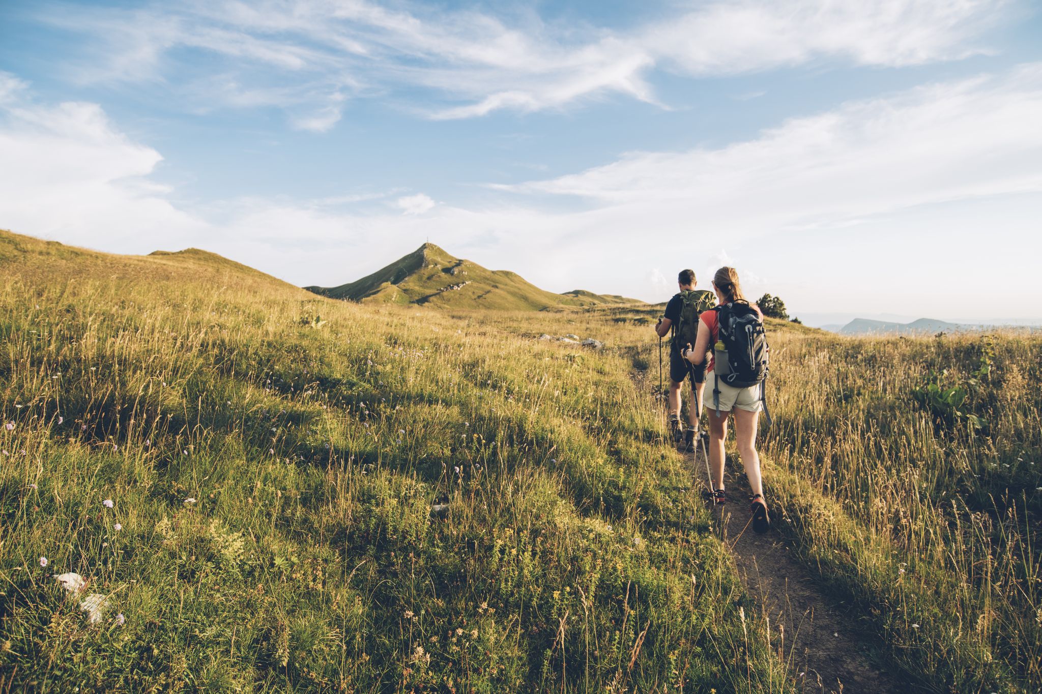
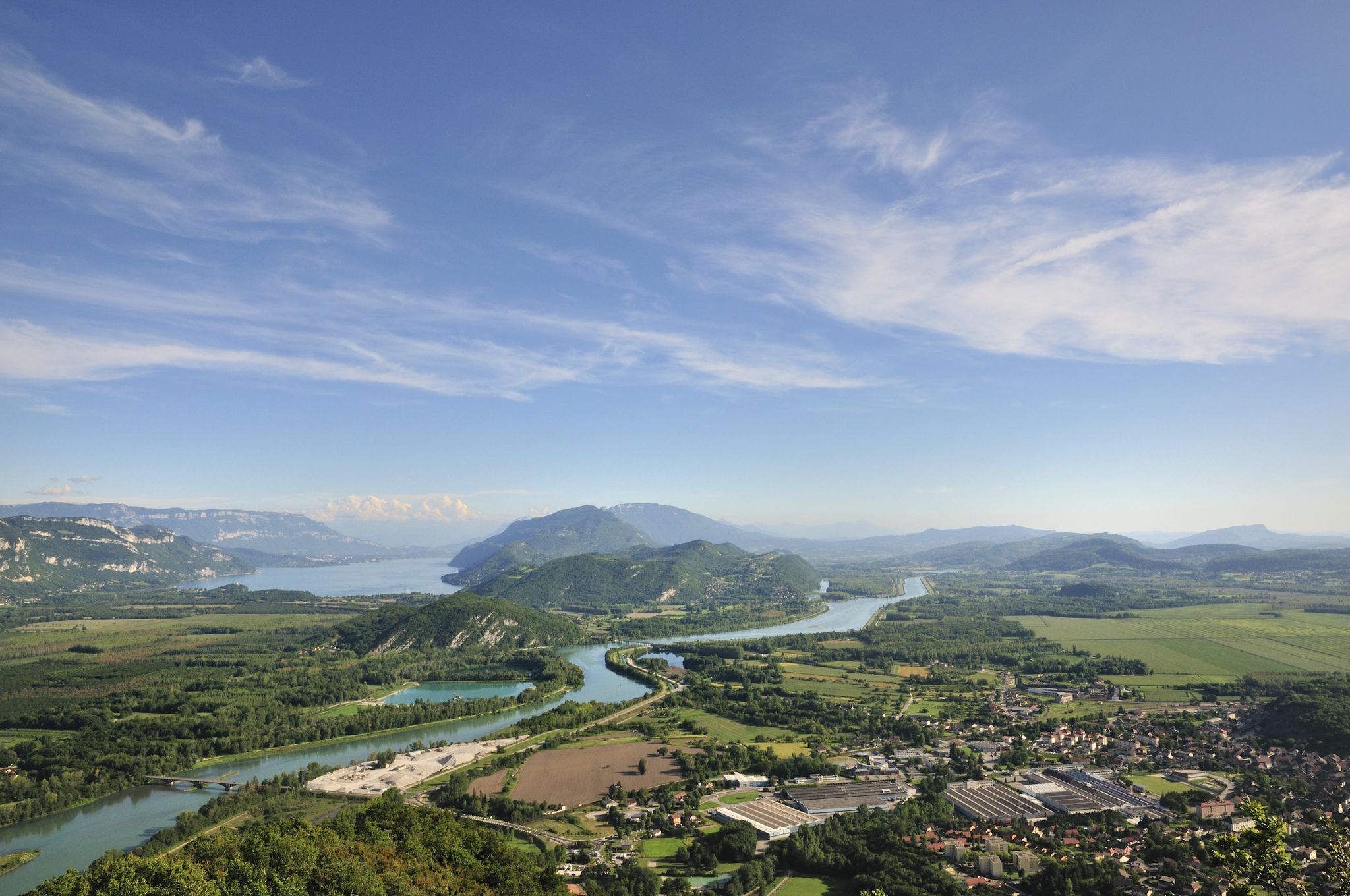
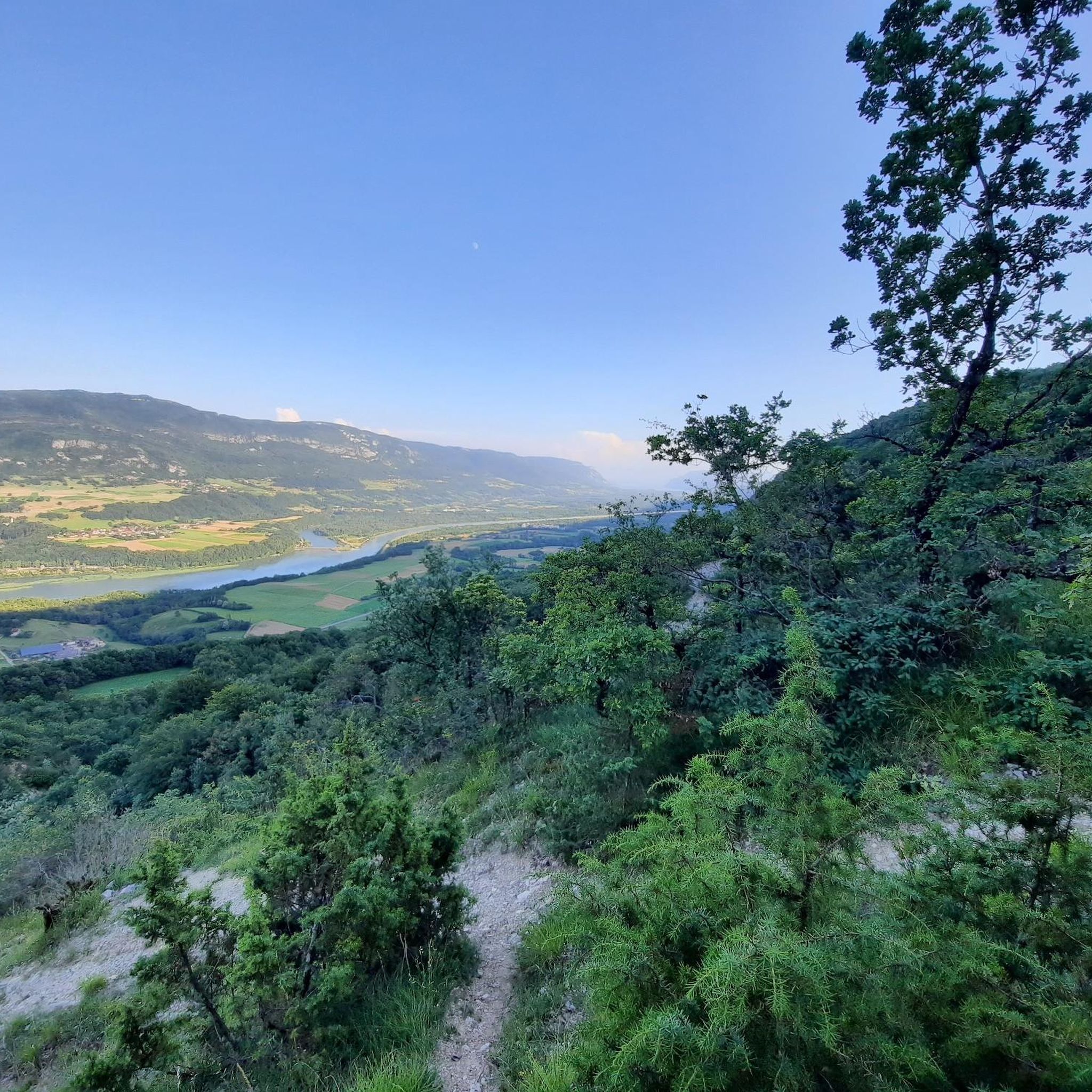
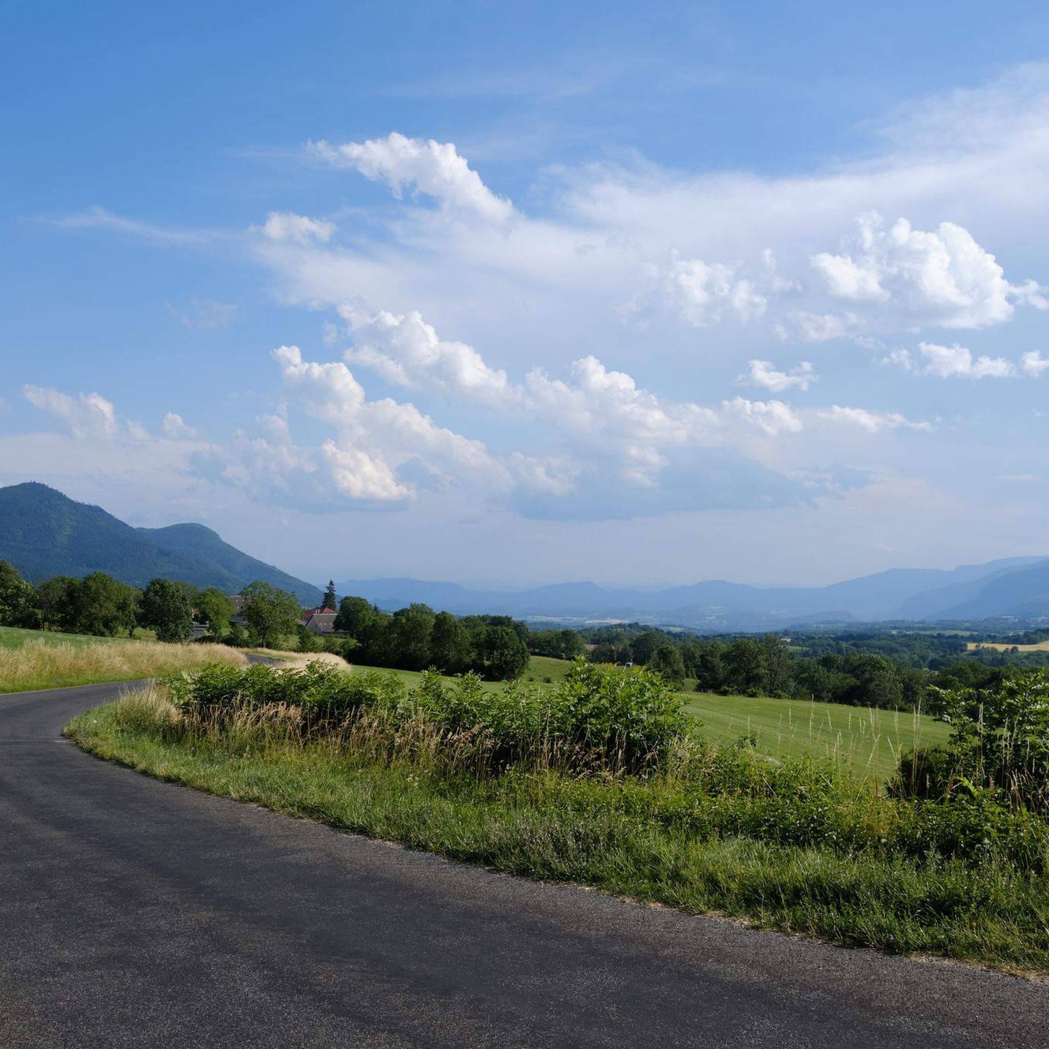
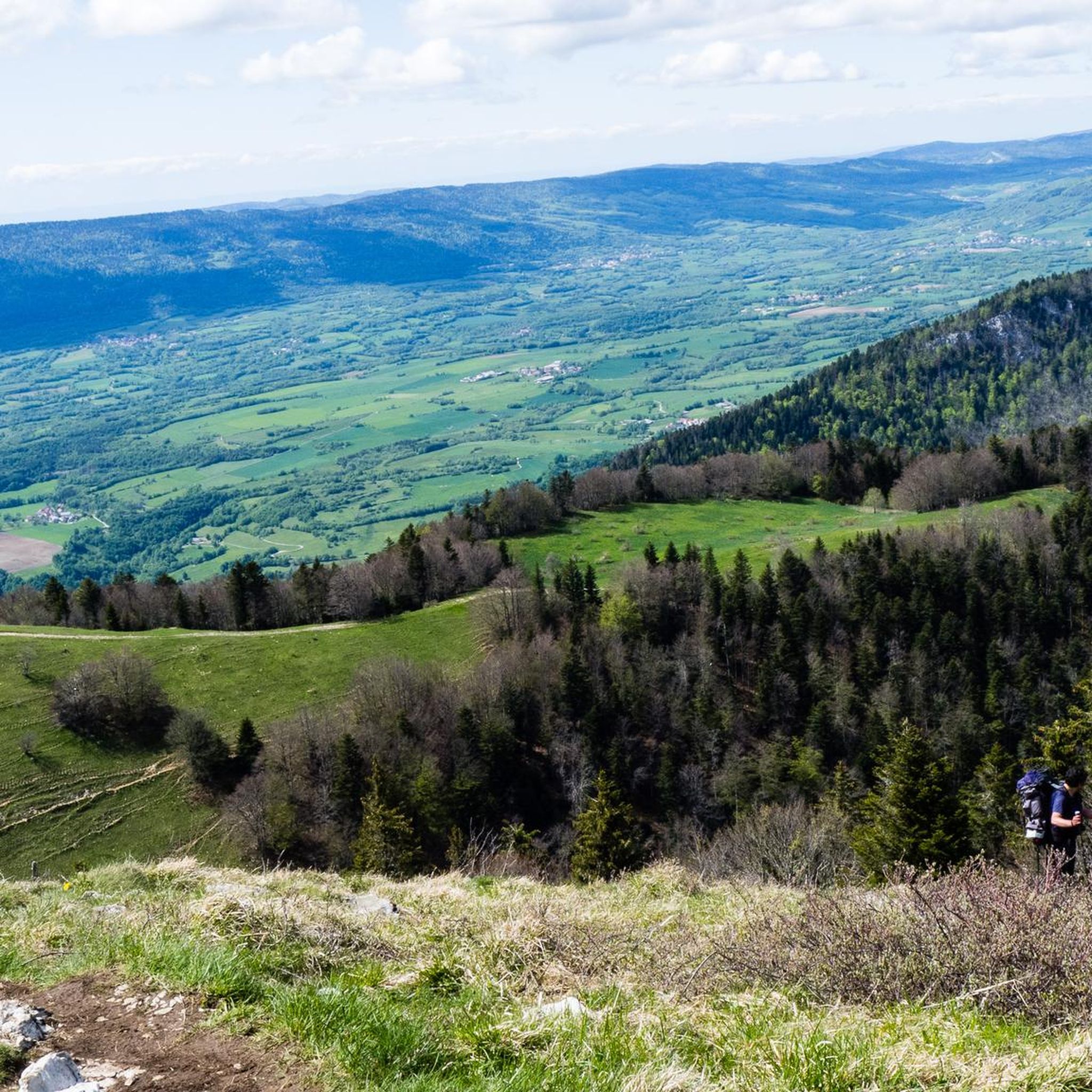
Hiking around Brénaz offers diverse landscapes, from the Rhône River Valley to the varied terrain of the Jura mountains and Bugey region. The area features rolling hills, mountainous paths, and natural attractions like Lac Bleu and waterfalls. These Brénaz hiking trails provide options for various fitness levels, making it a compelling destination for outdoor activities.
Best hiking trails around Brénaz
- The most popular hiking route is Charbemènes Pass – Grand Colombier Pass loop from Arvière-en-Valromey, a 8.3 miles (13.3…
Last updated: August 21, 2026
4.8
(18)
109
hikers
14.4km
04:48
490m
490m
Moderate hike. Good fitness required. Mostly accessible paths. Sure-footedness required.
5.0
(2)
34
hikers
11.5km
03:50
520m
520m
Moderate hike. Good fitness required. Mostly accessible paths. Sure-footedness required.

Sign up for free
4.7
(3)
34
hikers
13.0km
04:31
460m
460m
Moderate hike. Good fitness required. Mostly accessible paths. Sure-footedness required.
10
hikers
7.22km
02:14
250m
250m
Moderate hike. Good fitness required. Mostly accessible paths. Sure-footedness required.
5.0
(3)
18
hikers
7.20km
02:18
180m
180m
Moderate hike. Good fitness required. Mostly accessible paths. Sure-footedness required.
Get access to more routes and recommendations from other explorers.
Sign up for free
Already have an account?
Our route recommendations are based on thousands of hikes, rides, and runs completed by other people on komoot.
Start today with a free account
Your next adventure awaits.
Login or Signup



Tips from the Community

360-degree panorama from the Grand Colombier cross located a few meters below the summit located a little further north. (1524 meters). Impressive panorama of the Alps and view of the 3 French Alpine lakes.
0
0
A few kilometers south of the Grand Colombier, this pass at 1316 meters is at the intersection of the Arvière valley, the Grand Colombier and the Sur Lyand ridges.
0
0
Start of the hike with a view of the Grand Colombier from the ruins of La Grange d’en bas. Parking on site.
0
0
Ridges offering an exceptional panorama of the Alps and Mont Blanc on one side and the Arvière valley and Valromey on the other.
0
0

Ascent similar to the Col du Grand Colombier, with high percentages.
2
0

In the direction of Gignez, rise of 12% over a few hundred meters after the summit plateau.
2
0
Every second Saturday in June, July, August and September. from 7 a.m. to 3 p.m., the climb to the Grand Colombier from Culoz is reserved for cyclists, without registration.
3
0

Long and difficult climb, fantastic views along the way. Spicy increase percentages.
4
1
Frequently Asked Questions
How many hiking trails are available around Brénaz?
Brénaz offers a wide selection of hiking opportunities, with over 160 routes to explore. These trails cater to various preferences, ranging from easy strolls to more challenging ascents through the diverse landscapes of the Rhône River Valley and the Bugey region.
Are there easy hiking trails suitable for beginners or families in Brénaz?
Yes, Brénaz has numerous easy trails perfect for beginners or families. About 45 of the routes are classified as easy, with some being short, relaxed walks. The region's varied terrain ensures there are accessible paths for all fitness levels, including loops that lead to refreshing natural features.
What kind of natural landmarks or viewpoints can I expect to see on hikes in Brénaz?
Hiking in Brénaz offers stunning natural features and viewpoints. You can discover the dramatic Thurignin Gorges, the beautiful Cerveyrieu Waterfall, and the expansive views from the Grand Colombier Cross and orientation table. The region also features the picturesque Lac Bleu and various rock formations, including the nearby Caves of La Balme for a different kind of exploration.
Are there any circular hiking routes in Brénaz?
Yes, Brénaz offers several excellent circular hiking routes. For a challenging experience with panoramic views, consider the difficult Chalet d'Arvière – Grand Colombier Summit loop from Brénaz. A moderate option is the The Sur Lyand Ridges loop from Sur Lyand, which provides expansive vistas of the landscape.
What do other hikers enjoy most about the trails in Brénaz?
The hiking trails in Brénaz are highly regarded by the komoot community, boasting an average rating of 4.4 stars from over 400 reviews. Hikers frequently praise the diverse landscapes, from the serene Rhône River Valley to the more rugged mountainous paths, and the well-maintained routes that cater to various skill levels.
Can I bring my dog on the hiking trails in Brénaz?
Many trails in the Brénaz region are suitable for dogs, but it's always recommended to check specific trail regulations or local signage before heading out. Generally, the natural environment of the Rhône River Valley and surrounding areas provides ample space for walks with your canine companion, especially on less crowded paths.
What is the best time of year to go hiking in Brénaz?
The best time for hiking in Brénaz generally spans from spring through autumn, when the weather is mild and the natural scenery is at its most vibrant. Spring brings blooming flora, including wild orchids and gentians in areas like the Grand Colombier, while autumn offers beautiful foliage. Some higher altitude trails might be affected by snow in winter, so checking local conditions is advisable.
Are there options for parking near the trailheads in Brénaz?
Yes, many hiking routes in the Brénaz area feature easily accessible paths with amenities like designated parking areas at the start of the trails. This makes it convenient for hikers to access a wide range of routes, from short, easy walks to more demanding treks.
Are there any waterfalls I can hike to in the Brénaz area?
Absolutely! The Brénaz region is known for its beautiful water features. You can hike to the impressive Cerveyrieu Waterfall, which is a popular highlight. There are also hiking routes specifically leading to a 'Waterfall with pools' near Sault-Brénaz, offering refreshing spots along the trails.
What are some other attractions or places to explore near Brénaz after a hike?
Beyond hiking, the Brénaz area offers several interesting attractions. You can visit the historic Old bridge of Seyssel or explore the charming settlement of Seyssel. For those interested in geology, the nearby Caves of La Balme provide a unique underground experience. The region also offers other outdoor activities like canyoning and mountain biking.
Are there any challenging hikes for experienced trekkers in Brénaz?
Experienced trekkers will find challenging options in Brénaz, particularly in the Bugey region. The Grand Colombier, known as the 'Giant of Bugey,' offers significant elevation gain and demanding ascents. Routes like the difficult Chalet d'Arvière – Grand Colombier Summit loop from Brénaz provide extensive mountainous terrain and expansive views, requiring very good fitness and sure-footedness.
Most popular attractions around Brénaz

Get inspired with the komoot mobile app


Explore more
Browse the best Hikes in other regions.
