The best running trails around Champrougier
4.7
(4)
164
runners
69
runs
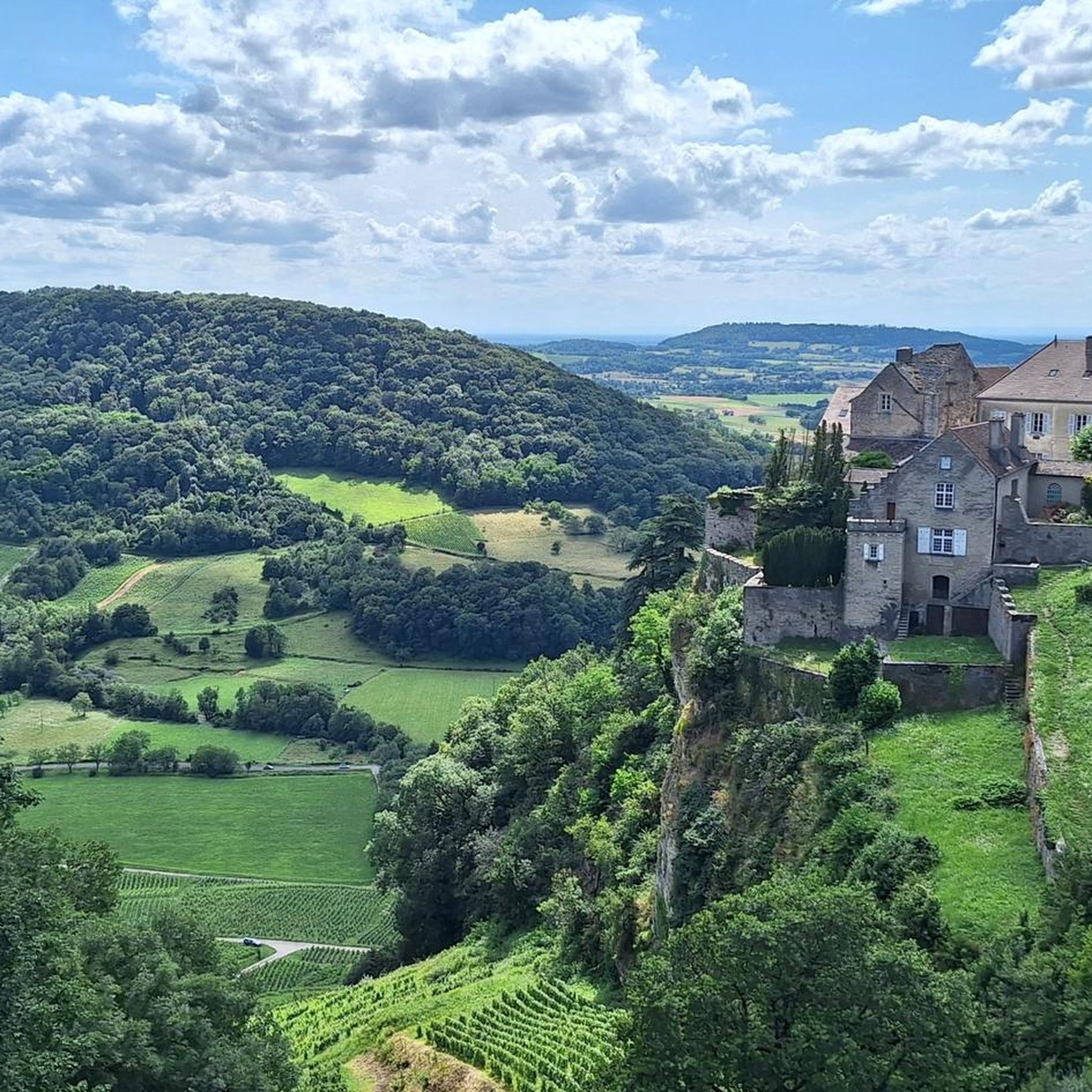
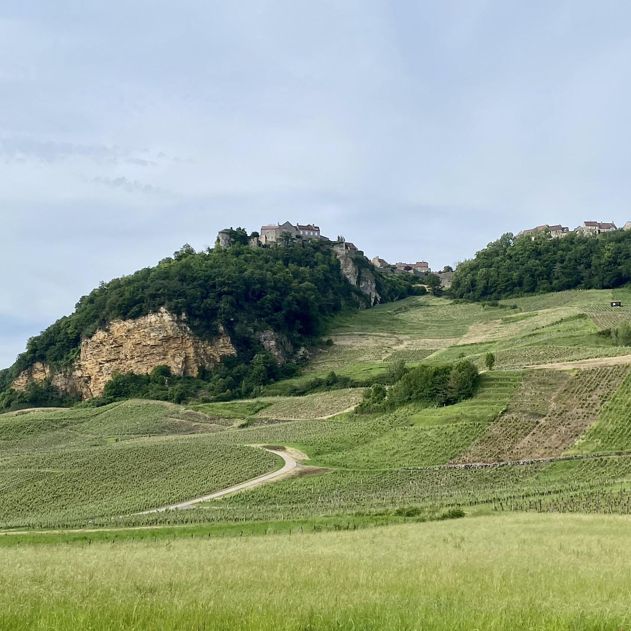
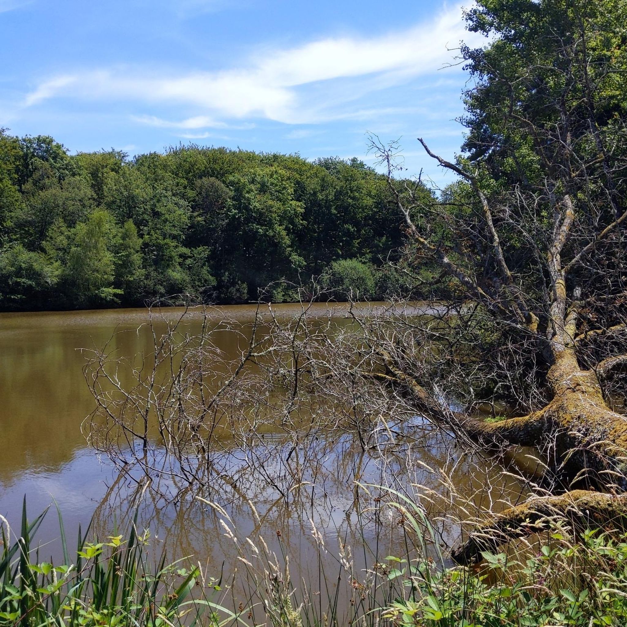
Jogging routes around Champrougier traverse a landscape characterized by agricultural plains, gentle hills, and numerous small lakes and ponds. The region, part of the Bresse Jurassienne, features a mix of open fields and scattered woodlands, offering varied scenery for runners. Elevation changes are generally modest, making many paths accessible for different fitness levels. The area provides a network of trails suitable for both short, easy jogging routes and longer, more challenging running routes.
Best jogging routes around Champrougier
- The most…
Last updated: October 9, 2026
9
runners
14.6km
01:31
40m
40m
Moderate run. Good fitness required. Mostly paved surfaces. Suitable for all skill levels.
9
runners
15.3km
01:37
60m
60m
Hard run. Very good fitness required. Mostly paved surfaces. Suitable for all skill levels.

4
runners
5.62km
00:35
20m
20m
Moderate run. Good fitness required. Mostly paved surfaces. Suitable for all skill levels.
5
runners
5.03km
00:33
70m
70m
Moderate run. Good fitness required. Mostly paved surfaces. Suitable for all skill levels.
4
runners
10.3km
01:03
30m
30m
Moderate run. Good fitness required. Mostly paved surfaces. Suitable for all skill levels.
Get access to more routes and recommendations from other explorers.
Already have an account?
Our route recommendations are based on thousands of hikes, rides, and runs completed by other people on komoot.
Start today with a free account
Your next adventure awaits.

Tips from the Community

The Voie de la Bresse Jurassienne connects Lons-le-Saunier to Dole. It forms the link between EuroVelo 6 and the Voie Bressane. Over 53 kilometers, this cycle route follows an old railway line through the Jura Bresse and the Finage plain.
1
0

Very good for a short health walk
1
0
Frequently Asked Questions
How many running routes can I find around Champrougier?
There are over 50 dedicated running routes in the Champrougier area, catering to various fitness levels and preferences. These routes explore the region's agricultural plains, gentle hills, and tranquil ponds.
Are there easy running routes suitable for beginners in Champrougier?
Yes, Champrougier offers several easy jogging routes perfect for beginners or those looking for a relaxed run. An excellent option is the Étang de la Folie loop from Bersaillin, which is an easy 3-mile (4.8 km) path with modest elevation changes.
What kind of scenery can I expect on running trails in Champrougier?
Running trails in Champrougier showcase a diverse landscape, primarily characterized by open agricultural fields, scattered woodlands, and numerous small lakes and ponds. You'll experience the serene beauty of the Bresse Jurassienne countryside, with modest elevation changes offering a pleasant running environment.
Are there any circular running routes in the Champrougier region?
Many of the running routes around Champrougier are circular, allowing you to start and finish at the same point. A popular choice is the Étang Billedon loop from Le Deschaux, a moderate 3.5-mile (5.7 km) path that circles the scenic Étang Billedon.
Can I bring my dog on the running trails in Champrougier?
While specific regulations can vary, many natural trails in the Champrougier area are generally dog-friendly, especially those through open fields and woodlands. It's always recommended to keep your dog on a leash and ensure they are well-behaved to respect other trail users and local wildlife.
What do other runners say about the trails in Champrougier?
The running routes in Champrougier are highly regarded by the komoot community, with an average rating of 4.25 out of 5 stars from over 5 reviews. Runners often praise the tranquil atmosphere, varied scenery, and the accessibility of paths for different ability levels.
Are there any longer running routes for experienced runners?
Yes, for those seeking a longer challenge, Champrougier offers several moderate routes. The Voie de la Bresse Jurassienne loop from Chaumergy is a substantial 9.1-mile (14.6 km) trail that takes approximately 1 hour 30 minutes to complete, offering extensive views of the Bresse Jurassienne.
Are there any points of interest or attractions along the running routes?
While the routes primarily focus on natural landscapes, you might encounter elements of the Voie de la Bresse Jurassienne, a regional cycleway that often runs parallel to or intersects with jogging paths. The area is also known for its numerous ponds and agricultural vistas.
What is the best time of year to go running in Champrougier?
The spring and autumn months generally offer the most pleasant conditions for running in Champrougier, with mild temperatures and beautiful natural colors. Summer can be warm, so early mornings or late evenings are preferable, while winter runs can be invigorating, though some paths might be muddy after rain or snow.
Are there family-friendly running options in Champrougier?
Many of the easier and moderate routes in Champrougier are suitable for families, especially those with relatively flat terrain and scenic views. The paths around the various ponds, like the Étang Billedon loop, are often good choices for a family outing.
How long do running trails typically take to complete in Champrougier?
Running trail durations in Champrougier vary significantly based on the route's length and your pace. Shorter, easy routes like the Étang de la Folie loop can be completed in about 30-35 minutes, while longer, moderate trails such as the Running loop from Sellières might take around 1 hour 10 minutes.
Most popular attractions around Champrougier

Get inspired with the komoot mobile app


Explore more
Browse the best Running Trails & Routes in other regions.
