The best walks and hikes around Prémillieu
4.5
(553)
3,055
hikers
110
hikes
Hiking around Prémillieu offers diverse terrain within the Auvergne-Rhône-Alpes region of France. The landscape is characterized by the glacial Lac de Millieu and the ecologically significant Vernay marshes, designated as an "Espace Naturel Sensible." The broader area, shaped by the Rhône river, features ancient meanders, vast marshes, and lush alluvial forests, contributing to rich biodiversity. Hikers can explore varied trails, from gentle paths to more challenging ascents, often encountering authentic natural beauty and geological sites.
Best hiking trails around Prémillieu
…Last updated: August 21, 2026
4.0
(1)
14
hikers
14.8km
05:15
760m
760m
Hard hike. Very good fitness required. Mostly accessible paths. Sure-footedness required.
5.0
(5)
25
hikers
21.0km
06:02
520m
520m
Hard hike. Very good fitness required. Easily-accessible paths. Suitable for all skill levels.

Sign up for free
4.8
(4)
15
hikers
14.0km
04:09
380m
380m
Moderate hike. Good fitness required. Easily-accessible paths. Suitable for all skill levels.
3.7
(3)
9
hikers
6.37km
02:05
260m
270m
Moderate hike. Good fitness required. Easily-accessible paths. Suitable for all skill levels.
5.0
(1)
16
hikers
23.6km
06:55
670m
670m
Hard hike. Very good fitness required. Easily-accessible paths. Suitable for all skill levels.
Get access to more routes and recommendations from other explorers.
Sign up for free
Already have an account?
Our route recommendations are based on thousands of hikes, rides, and runs completed by other people on komoot.
Start today with a free account
Your next adventure awaits.
Login or Signup
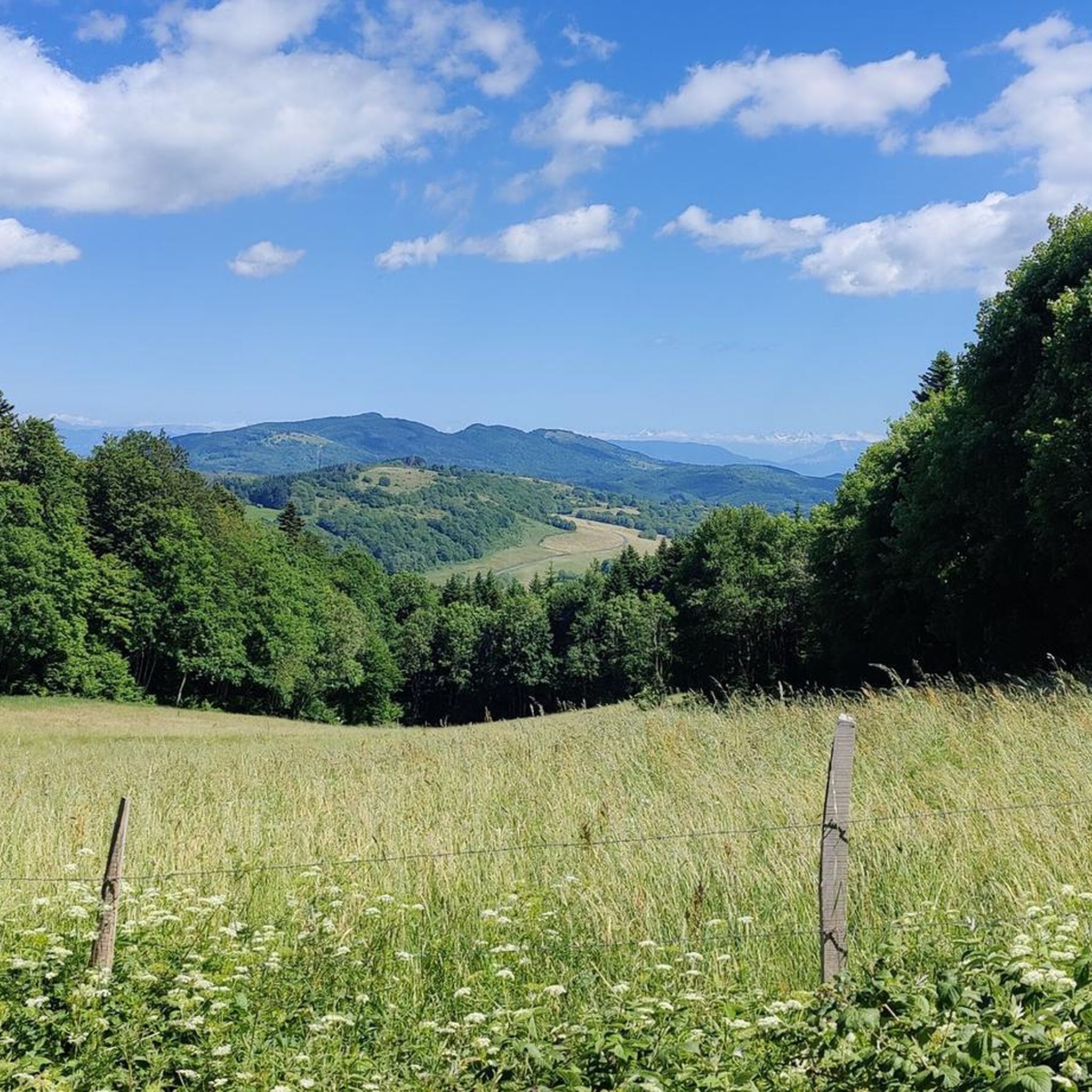
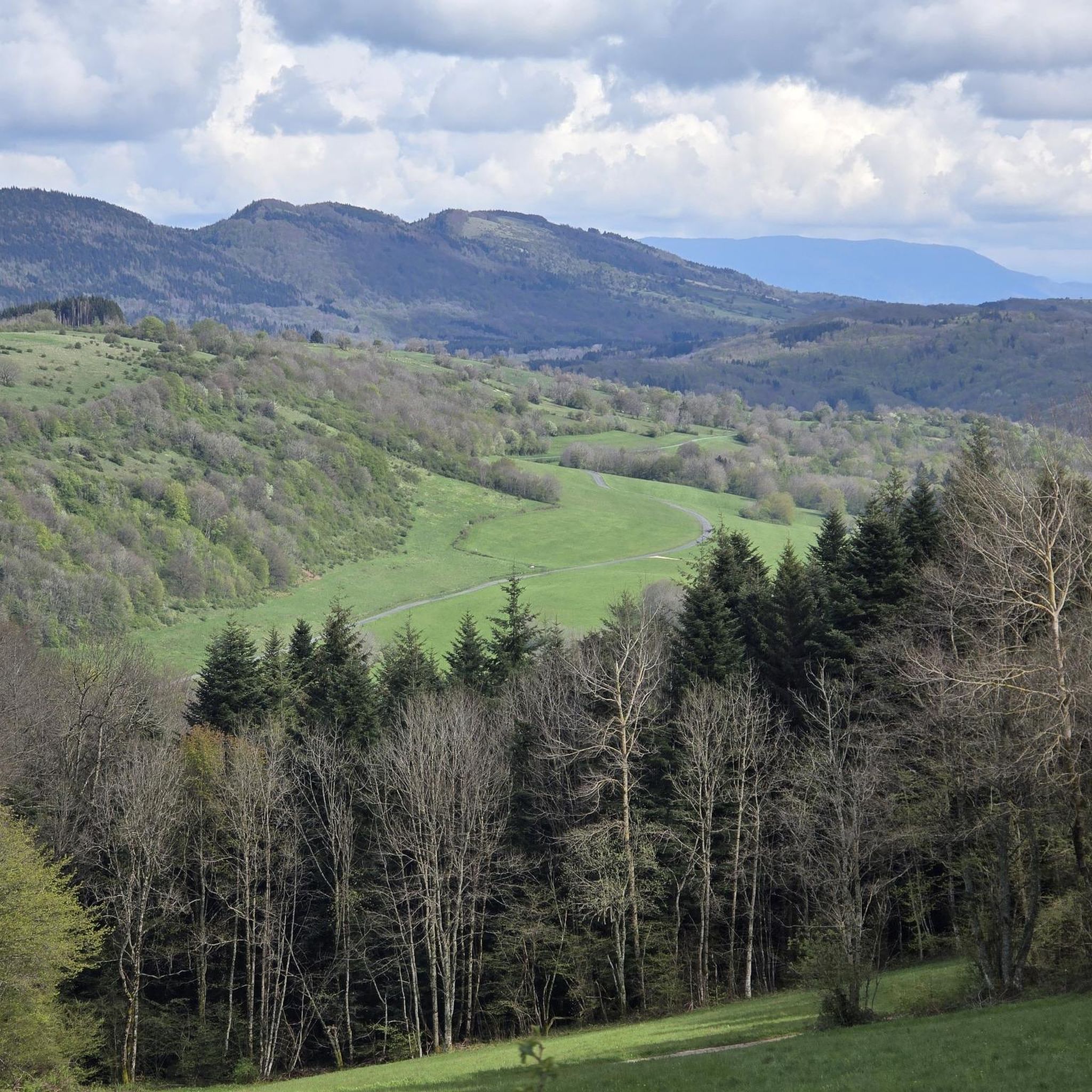


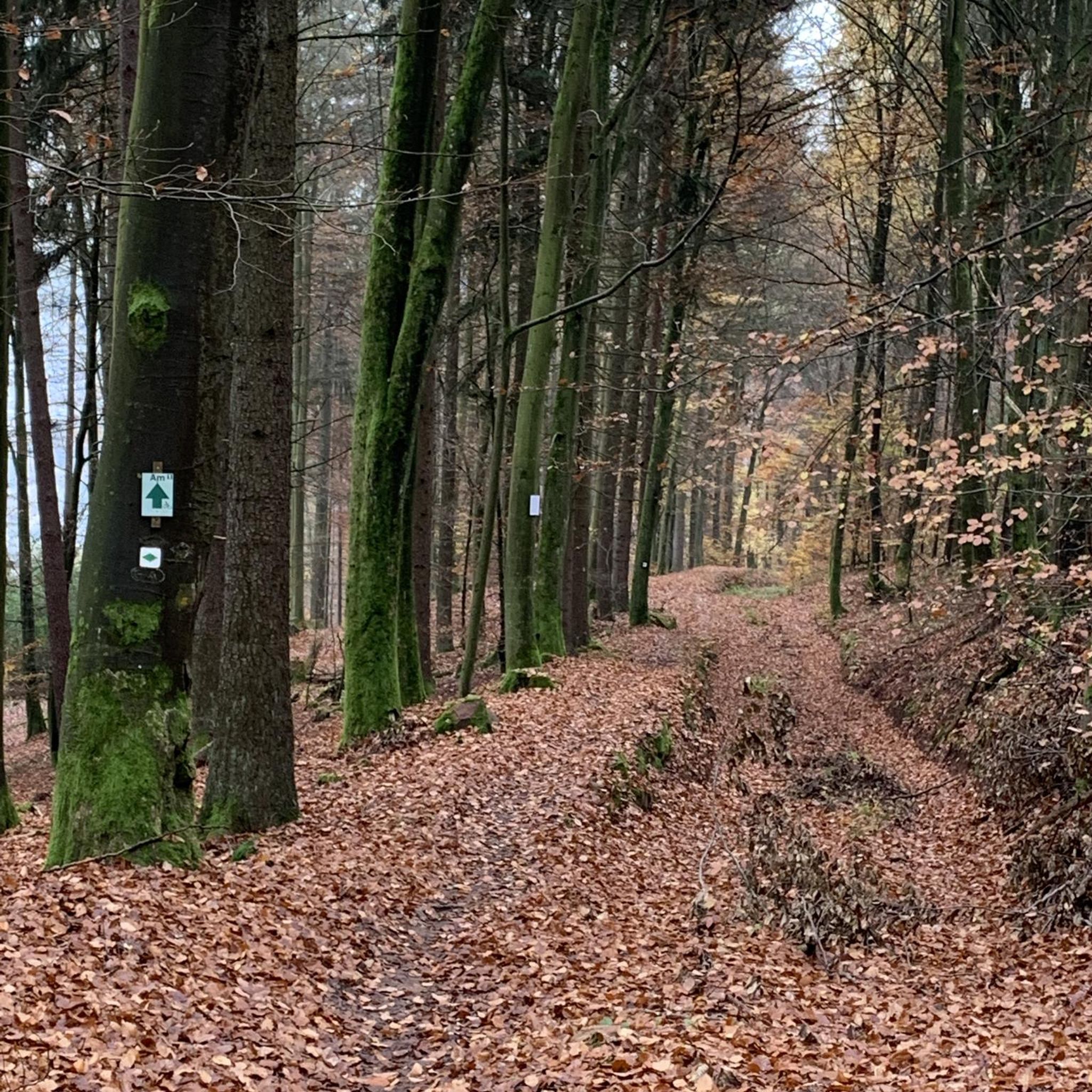
Tips from the Community

A corner of paradise and no one to bother you.
0
0
In the middle of a heatwave, the site remains cool and swimming there is a real pleasure; all the more so as it is only accessible after meritorious efforts, given the elevation gain to overcome. To be done on foot or by MTB, and even pushing the bike on certain sections!
0
0

Accessible by a wide path that ends in a hiking singletrack along La Brive, itself stepped with several small waterfalls before arriving at the main waterfall after the confluence with the Grand Pertuis stream. Some ruins of what may appear to be a mill. Some traces of dirt from an uneducated, undernourished, poorly dressed, poorly housed, and poorly heated civilization......
0
0

Wow, what a beautiful waterfall! 🤩🤩
1
0

Officially referenced pass and completely passable by road bike!
1
0
Orientation table which overlooks a beautiful viewpoint, accessible during the ascent of the Col de Ballon.
1
0

very beautiful waterfall in a shaded place, ideal for a moment of relaxation.
0
0

Frequently Asked Questions
What kind of hiking trails can I expect around Prémillieu?
Prémillieu offers a diverse range of hiking trails, catering to various skill levels. You'll find everything from leisurely walks to more challenging treks. Out of 109 total routes, 28 are considered easy, 61 are moderate, and 20 are difficult, ensuring options for every hiker.
Are there easy hiking options suitable for beginners or families?
Yes, there are plenty of easy hiking options around Prémillieu, perfect for beginners or families. One popular choice is the Orientation table – Claire Fontaine Waterfall loop from Virieu-le-Grand, an easy 3.0-mile (4.9 km) trail that takes about 1 hour 40 minutes to complete and leads to a notable waterfall.
Are there any waterfalls to discover on hikes near Prémillieu?
Absolutely! The region around Prémillieu is known for its beautiful waterfalls. You can discover several, including the Claire Fontaine Waterfall, which is featured on some local hiking routes. Other notable waterfalls in the vicinity include the Brive Waterfall and the Cerveyrieu Waterfall.
What natural landmarks or viewpoints can I see while hiking?
Hikers in Prémillieu can enjoy a variety of natural landmarks and panoramic viewpoints. The area features the glacial Lac de Millieu and the ecologically significant Vernay marshes, an 'Espace Naturel Sensible.' For stunning vistas, consider routes that pass by the Petit Pertuis Pass or the Col de Ballon (929 m), offering impressive views of the Bugey region.
Are there any circular hiking routes available?
Yes, many of the trails around Prémillieu are circular, allowing you to start and end at the same point. For example, the Sérémond Viewpoint loop from Belley is a moderate 8.7-mile (14.0 km) path offering panoramic views and varied terrain.
What do other hikers enjoy the most about hiking in Prémillieu?
The hiking trails around Prémillieu are highly rated by the komoot community, with an average score of 4.5 stars from over 400 reviews. Hikers frequently praise the diverse landscapes, from glacial lakes and marshes to lush forests, and the authentic natural beauty encountered throughout their journeys.
Can I find longer, more challenging hikes in the area?
For experienced trekkers seeking a challenge, Prémillieu offers several difficult routes. The Claire Fontaine Waterfall – Sérémond Viewpoint loop from Virieu-le-Grand is a 9.2-mile (14.8 km) trail with significant elevation gain, often taking over 5 hours to complete. Another challenging option is the Panorama of the Bugey – Petit Pertuis Pass loop from Ordonnaz, a 20.9 km route with over 500 meters of ascent.
Is Prémillieu a good destination for wildlife spotting?
The region, particularly around the Vernay marshes and the ancient meanders of the Rhône river, is an 'Espace Naturel Sensible' due to its ecological importance and rich biodiversity. While specific wildlife sightings are never guaranteed, the varied habitats of wet meadows, marshes, and alluvial forests provide opportunities to observe local flora and fauna.
Are dogs allowed on the hiking trails around Prémillieu?
Generally, dogs are welcome on hiking trails in France, especially if kept on a leash. However, it's always advisable to check local signage at trailheads, particularly in protected natural areas like the Vernay marshes, as specific rules may apply to ensure the preservation of wildlife and sensitive ecosystems.
What is the best time of year to go hiking in Prémillieu?
Prémillieu offers pleasant hiking conditions through much of the year. Spring and autumn provide mild temperatures and beautiful scenery, with blooming wildflowers or vibrant fall foliage. Summer is also popular, though some trails might be warmer. Winter hiking is possible, but conditions can vary, and some higher elevation paths might require appropriate gear.
Are there any trails that offer a good overview of the Bugey region?
Yes, several trails provide excellent panoramic views of the Bugey region. The Ridge Path loop from Hostiaz is a moderate 6.3 km route that offers elevated perspectives. Additionally, routes passing through viewpoints like the Sérémond Viewpoint are ideal for appreciating the broader landscape.
Most popular routes around Prémillieu
Most popular attractions around Prémillieu

Get inspired with the komoot mobile app


Explore more
Browse the best Hikes in other regions.
