The best walks and hikes around Rignieux-Le-Franc
4.5
(228)
1,680
hikers
102
hikes
Hiking around Rignieux-Le-Franc offers access to varied landscapes within the Ain department of the Auvergne-Rhône-Alpes region. The area is characterized by a network of "cheminements doux" (gentle paths) designed for pedestrians, connecting hamlets and extending to neighboring communes. The Toison river traverses the commune, providing opportunities for riverside walks, while rural paths and forest alleys are common features. The region's terrain generally presents minimal elevation changes, making many routes accessible for various fitness levels.
Best hiking trails around Rignieux-Le-Franc
- The…
Last updated: July 11, 2026
14
hikers
5.85km
01:36
100m
90m
Easy hike. Great for any fitness level. Easily-accessible paths. Suitable for all skill levels.
4
hikers
8.74km
02:18
80m
80m
Moderate hike. Good fitness required. Easily-accessible paths. Suitable for all skill levels.

Sign up for free
5.0
(2)
6
hikers
7.19km
01:58
110m
110m
Easy hike. Great for any fitness level. Easily-accessible paths. Suitable for all skill levels.
5.0
(1)
4
hikers
16.2km
04:24
220m
220m
Moderate hike. Good fitness required. Easily-accessible paths. Suitable for all skill levels.
5.0
(1)
16
hikers
6.24km
01:45
120m
120m
Easy hike. Great for any fitness level. Easily-accessible paths. Suitable for all skill levels.
Get access to more routes and recommendations from other explorers.
Sign up for free
Already have an account?
Our route recommendations are based on thousands of hikes, rides, and runs completed by other people on komoot.
Start today with a free account
Your next adventure awaits.
Login or Signup

Tips from the Community

Very beautiful medieval city. The village of my childhood. Absolutely taste the pancakes! 😉🍰
0
0

The medieval city of Pérouges is a true jewel of the past. Located to the east of Lyon, it transports us to a distant era, where cobbled streets and houses made of pebbles and bricks tell stories of yesteryear. With its 80 inhabitants living within its walls and 1,200 residents in the commune, Pérouges is an inhabited village which freely welcomes visitors all year round.
0
0

Ranked among the most beautiful villages in France, Pérouges offers you a trip to the Middle Ages. The tourist activities between April and August will allow you to see the city from another angle. Between history and terroir, this city of character 30 kilometers from Lyon will not leave you insensitive with its medieval and authentic charm. Before leaving, don't forget to taste the local speciality: the Peruvian pancake, the unmissable sugar pie.
2
0

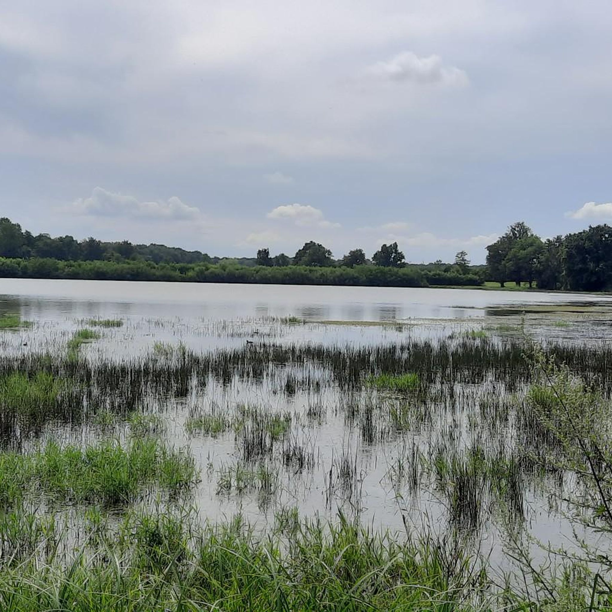
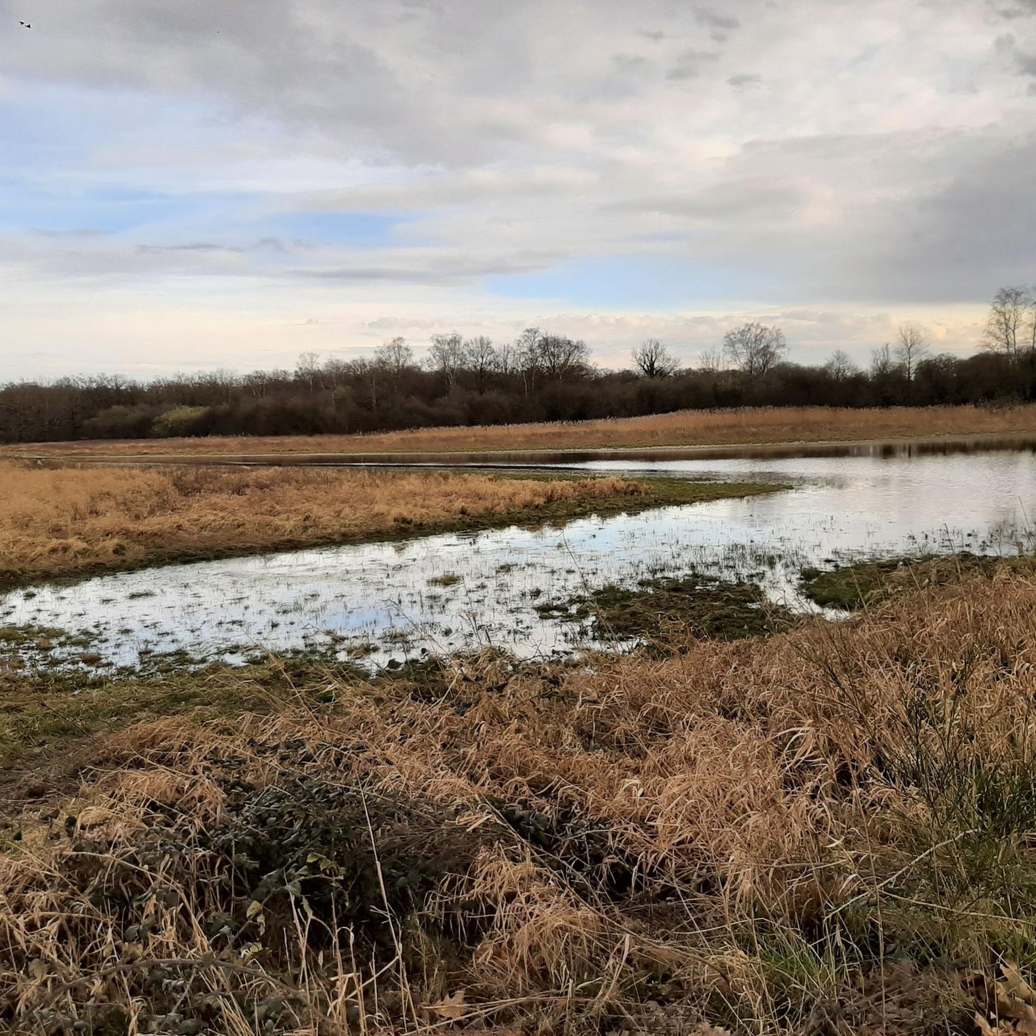
A few hundred meters from the village of Pérouges, let yourself descend to the hawthorn pond. It is a landscaped and well maintained place that is very pleasant and relaxing.
0
0
Aubepin Lake is a water reserve created artificially in 2005 by the municipality of Meximieux. This one-hectare body of water was built on an old canal which feeds the Moulin Favre, whose wheel you can see still in action at the end of the body of water. This green place will be ideal for a stroll and the signs that line its outline will allow you to learn a little more about the surrounding fauna and flora.
1
0
Ranked among the most beautiful villages in France, Pérouges offers you a trip to the Middle Ages. The tourist activities between April and August will allow you to see the city from another angle. Between history and terroir, this city of character 30 kilometers from Lyon will not leave you insensitive with its medieval and authentic charm. Do not forget before leaving to taste the local speciality: the Peruvian pancake, the unmissable sugar pie.
2
0

The village of Pérouges, a very well preserved medieval site. There are good restaurants and points of sale to buy the galette de Pérouges.
0
0
Frequently Asked Questions
How many hiking trails are available around Rignieux-Le-Franc?
There are over 80 hiking trails around Rignieux-Le-Franc, offering a wide range of options for different preferences and fitness levels. These include 45 easy routes, 39 moderate routes, and a few more challenging options.
Are there easy hiking trails suitable for beginners or families in Rignieux-Le-Franc?
Yes, Rignieux-Le-Franc is well-suited for easy hikes. The municipality has developed "cheminements doux" (gentle paths) specifically for pedestrians, connecting various hamlets and extending to neighboring communes. Many local routes, such as the 5.7 km loop around Rignieux itself, feature minimal elevation changes, making them ideal for beginners and families. An example of an easy route is the General Adolphe Marie Messimy – Medieval town of Pérouges loop from Pérouges.
Can I find circular hiking routes in Rignieux-Le-Franc?
Yes, many of the hiking opportunities around Rignieux-Le-Franc are designed as circular routes. These loops often start from central points like the Place de la Fontaine and utilize rural paths and forest alleys, allowing you to explore the area and return to your starting point without retracing your steps.
What interesting sights or landmarks can I discover while hiking near Rignieux-Le-Franc?
While hiking near Rignieux-Le-Franc, you can explore several interesting landmarks. The most notable is the Medieval town of Pérouges, classified as one of France's "Most Beautiful Villages," located just 6 km away. Many trails incorporate this historic site. You might also encounter the tranquil Aubépin Pond, which is often part of popular loops like the Medieval town of Pérouges – Aubépin Pond loop from Pérouges. Other points of interest include the Abbey of Notre-Dame des Dombes and various local churches.
Are there any scenic riverside walks or natural areas to explore?
Yes, the Toison river traverses Rignieux-Le-Franc, offering pleasant riverside strolls. The area is also characterized by its proximity to the Dombes plateau, known for its numerous ponds. The Aubépin Pond is a popular spot, and the broader region features the extensive ponds of the Dombes, providing diverse natural settings for walks.
What is the best time of year to go hiking in Rignieux-Le-Franc?
Rignieux-Le-Franc benefits from good sunshine and a climate that transitions between semi-continental and mountain influences. Spring and autumn generally offer the most pleasant hiking conditions with mild temperatures and vibrant natural scenery. Summer is also suitable, though it can be warmer, while winter hikes are possible, especially on the gentle paths, but require appropriate gear.
Are dogs allowed on the hiking trails around Rignieux-Le-Franc?
Generally, dogs are welcome on most hiking trails around Rignieux-Le-Franc, especially on the rural paths and forest alleys. However, it is always recommended to keep them on a leash, especially when passing through agricultural areas or near wildlife, and to respect local regulations regarding pet access.
Where can I find parking for hiking trails in Rignieux-Le-Franc?
Many local hiking loops in Rignieux-Le-Franc start from central points within the village, such as the Place de la Fontaine, where parking is typically available. For routes extending to neighboring communes or specific attractions like Pérouges, designated parking areas are usually provided near the trailheads or main village centers.
Is Rignieux-Le-Franc accessible by public transport for hikers?
While Rignieux-Le-Franc is a smaller commune, it is situated within the Auvergne-Rhône-Alpes region, which has a public transport network. It's advisable to check local bus schedules or regional train connections to nearby larger towns like Meximieux, from which Rignieux-Le-Franc might be accessible via local services or a short taxi ride. Planning your route in advance using public transport information is recommended.
What do other hikers enjoy the most about hiking in Rignieux-Le-Franc?
The hiking routes in Rignieux-Le-Franc are highly rated by the komoot community, with an average score of 4.4 stars from over 180 reviews. Hikers often praise the area's gentle paths, the tranquil natural setting along the Toison river, and the charming rural landscapes. The proximity to the historic Medieval town of Pérouges is also a frequently highlighted feature, combining natural exploration with cultural discovery.
Are there any challenging hikes with significant elevation gain in the area?
While Rignieux-Le-Franc is primarily known for its gentle paths and minimal elevation changes, there are a few routes that offer slightly more challenge. The region's terrain generally presents moderate ascents rather than steep climbs. For instance, the Medieval town of Pérouges – Aubépin Pond loop from Meximieux, classified as moderate, includes an elevation gain of around 167 meters over its 11.1 km distance, providing a good workout without being overly strenuous.
Most popular routes around Rignieux-Le-Franc
Most popular attractions around Rignieux-Le-Franc

Get inspired with the komoot mobile app


Explore more
Browse the best Hikes in other regions.
