The best walks and hikes around La Bretenière
4.3
(72)
387
hikers
40
hikes
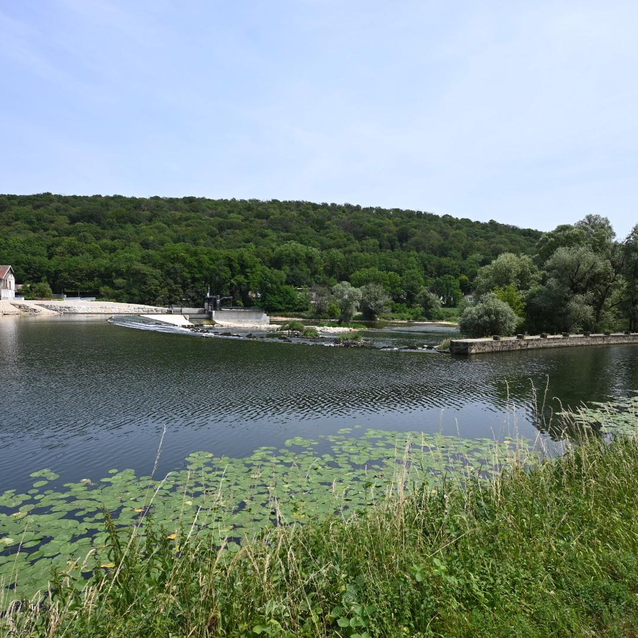
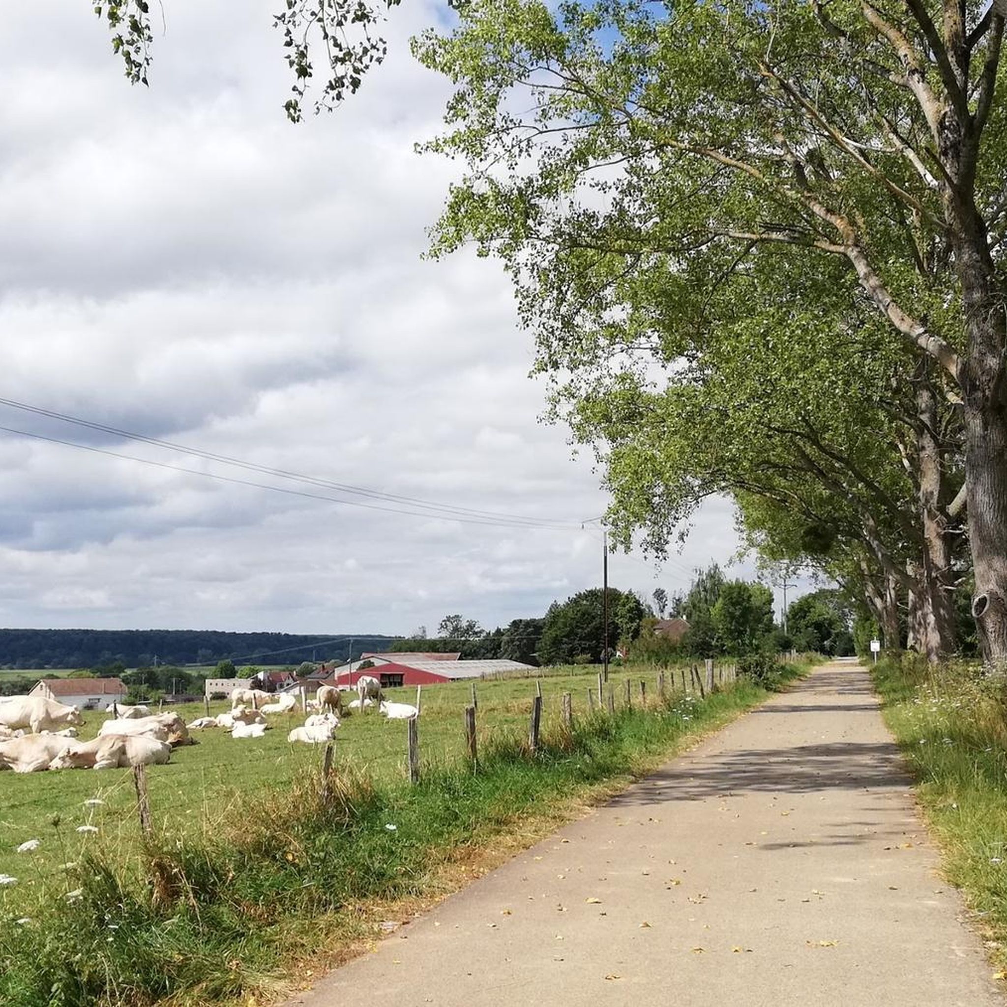
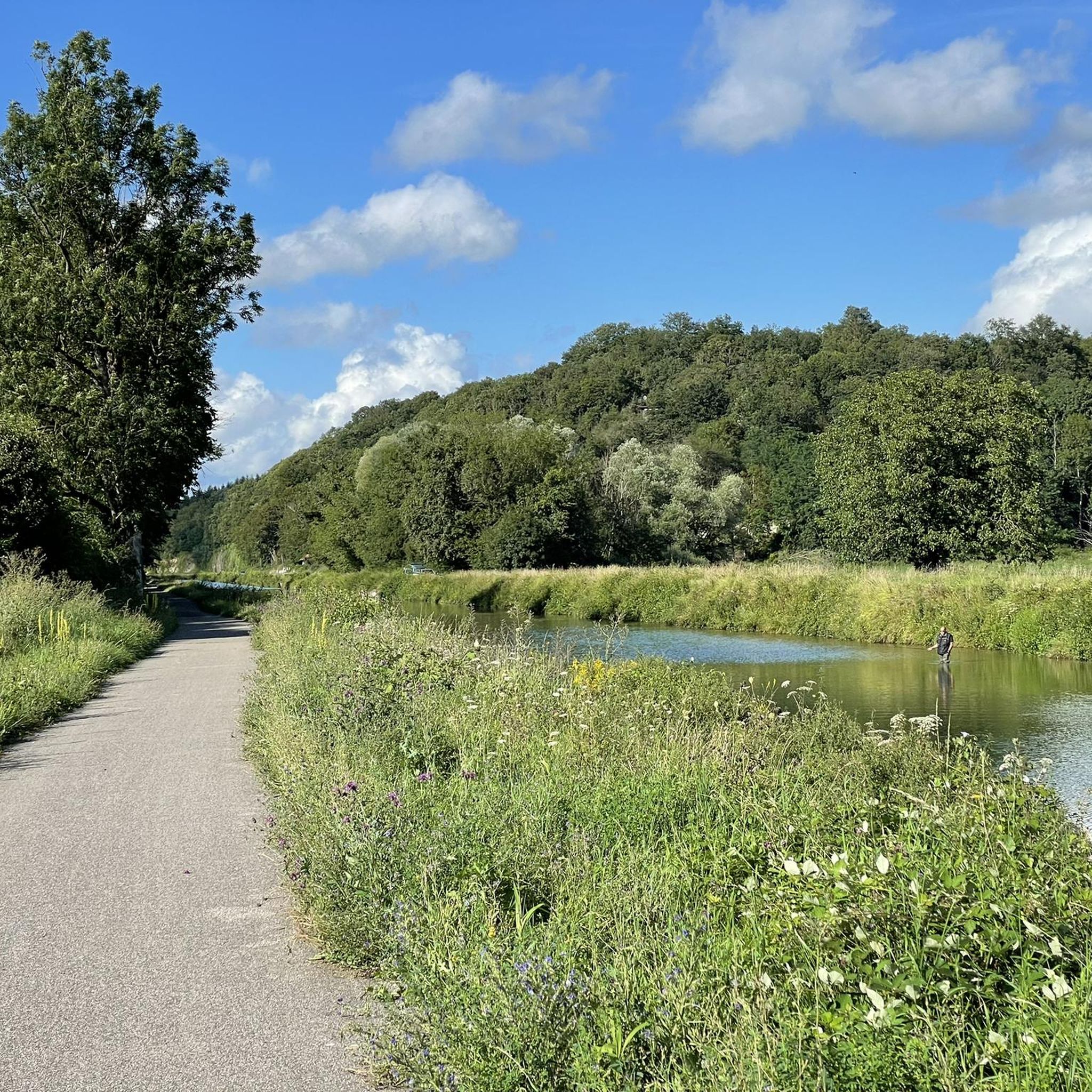
Hiking around La Bretenière, located in the Bourgogne-Franche-Comté region of France, offers diverse landscapes for outdoor enthusiasts. The area is characterized by open, undulating countryside, extensive forested areas, and agricultural lands, providing varied scenic backdrops. Hikers can explore paths along the Canal de Bourgogne and through woodlands, with some routes featuring natural springs and historical structures. The region's topography includes alluvial plains and proximity to the Jura massif, offering a range of terrain from gentle paths to more challenging ascents.
…Last updated: July 6, 2026
4.5
(8)
37
hikers
8.30km
02:12
80m
80m
Moderate hike. Good fitness required. Easily-accessible paths. Suitable for all skill levels.
4.3
(6)
22
hikers
10.9km
02:52
100m
100m
Moderate hike. Good fitness required. Easily-accessible paths. Suitable for all skill levels.

Sign up for free
4.8
(4)
24
hikers
8.15km
02:06
40m
40m
Moderate hike. Good fitness required. Easily-accessible paths. Suitable for all skill levels.
15
hikers
3.67km
00:56
10m
10m
Easy hike. Great for any fitness level. Easily-accessible paths. Suitable for all skill levels.
4.0
(2)
8
hikers
4.12km
01:03
10m
10m
Easy hike. Great for any fitness level. Easily-accessible paths. Suitable for all skill levels.
Get access to more routes and recommendations from other explorers.
Sign up for free
Already have an account?
Our route recommendations are based on thousands of hikes, rides, and runs completed by other people on komoot.
Start today with a free account
Your next adventure awaits.
Login or Signup
Tips from the Community

The Rhine-Rhône Canal runs directly alongside high cliffs here and opens into a narrow lock channel through a very narrow rock archway. A truly spectacular section of our cycling route!
0
0

cyclo first plateau Dole
0
0

Fraisans used to be the centre of metallurgy
5
0

it's a quiet and soothing, shady corner, very pleasant, I recommend
0
0

A wonderful tour along the Doubs river. Due to the high water levels, there are impressive hydraulic jumps at the weirs.
0
0

A river and a canal separated only by a embankment is indeed an impressive and rare sight. Worth seeing!
1
0

an impressive landscape along the Doubs. I could do this route again and again.
1
0

At this location, the canal and the river are closely adjacent to each other. It's a beautiful sight to see. Here the two rivers travel together in the valley.
2
0
Frequently Asked Questions
How many hiking trails are available around La Bretenière?
There are over 40 hiking routes around La Bretenière, offering a diverse range of experiences. You'll find 15 easy trails and 29 moderate routes, ensuring options for various fitness levels.
What kind of terrain can I expect on hikes in La Bretenière?
The hiking terrain around La Bretenière is quite varied. You can expect open, undulating countryside, extensive forested areas, and agricultural lands. Many routes also feature pleasant walks along the Canal du Rhône au Rhin and the Doubs river, offering scenic waterways and surrounding nature.
Are there any easy, family-friendly hikes in the area?
Yes, there are several easy routes suitable for families. For a shorter, gentle walk, consider the Ranchot Island Campsite loop from Ranchot, which is about 3.6 km long. Another easy option is the Ranchot Island Campsite – Rancho loop from Rans, covering about 4.1 km.
Can I bring my dog on the hiking trails around La Bretenière?
While specific dog-friendly regulations can vary by trail and protected areas, generally, many of the trails through open countryside and woodlands around La Bretenière are suitable for dogs, especially if kept on a leash. Always check local signage for any restrictions, particularly in nature reserves or agricultural zones.
Are there any circular hiking routes in La Bretenière?
Yes, many of the routes around La Bretenière are circular, allowing you to start and end at the same point. Examples include The Bee-eater loop from Étrepigney, a moderate 8.3 km trail, and the Rochefort-sur-Nenon – Rochefort-sur-Nenon loop from Audelange, which is 8.1 km long.
What natural features or landmarks can I see while hiking?
Hikers can discover various natural features and landmarks. The region is known for its forests, open landscapes, and waterways. You might encounter the impressive Cliffs along the Doubs / Rhône–Rhine Canal, or enjoy the peaceful atmosphere around the Canal du Rhône au Rhin. The area also features natural springs and historical structures like the fortress-castle near Fontaine de Vauchon.
What do other hikers say about the trails in La Bretenière?
The hiking trails in La Bretenière are highly regarded by the komoot community, with an average rating of 4.2 stars from over 60 reviews. Hikers often praise the diverse landscapes, from peaceful woodlands to scenic canal-side paths, and the well-maintained routes suitable for various abilities.
Is there public transport available to reach hiking trailheads?
While La Bretenière itself is a smaller commune, the broader Bourgogne-Franche-Comté region has public transport options. For specific trailheads, it's advisable to check local bus schedules or regional train services, especially if you are coming from larger towns like Dijon. However, many trailheads may require private vehicle access.
Where can I find parking for hiking in La Bretenière?
Parking availability varies by trailhead. In smaller villages or near popular starting points, you can often find designated parking areas or roadside parking. For routes like those starting near Ranchot, there might be facilities such as the Ranchot Island Campsite which could offer parking options. Always look for official parking signs to avoid inconveniences.
What is the best time of year to go hiking in La Bretenière?
The best time for hiking in La Bretenière is generally from spring to autumn. Spring offers lush greenery and pleasant temperatures, while autumn provides beautiful foliage. Summer is also suitable, but it can be warmer, so early morning or late afternoon hikes are recommended. Winter hiking is possible, especially on easier routes, but some trails might be muddy or require appropriate gear.
Are there any longer, moderate hikes available?
Yes, for those looking for a longer, moderate challenge, consider the Ranchot Island Campsite – Dampierre Lock loop from Ranchot. This route spans approximately 10.9 km and follows the Doubs river and canal, offering beautiful views and a good workout.
Most popular attractions around La Bretenière

Get inspired with the komoot mobile app


Explore more
Browse the best Hikes in other regions.
