Top 10 Mountain Passes around Savoillan
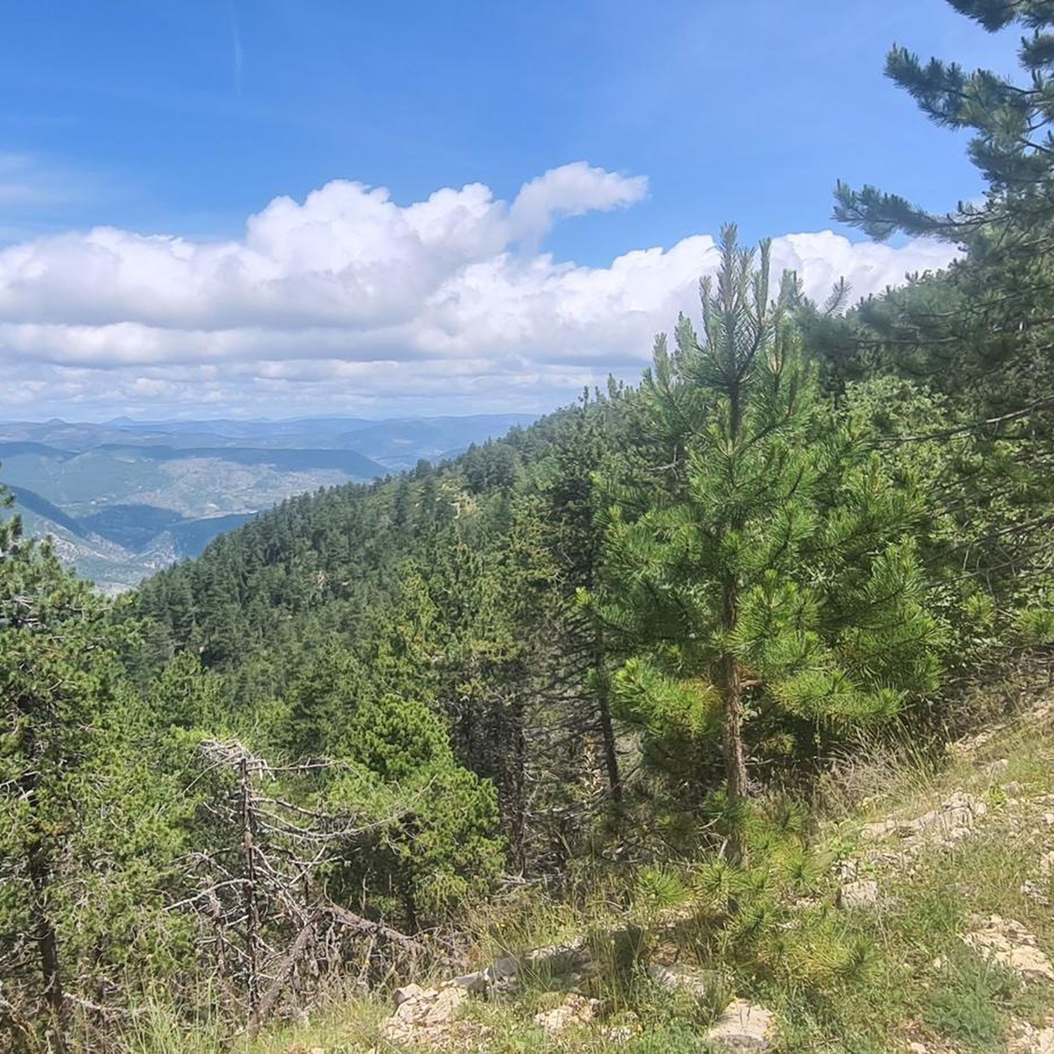
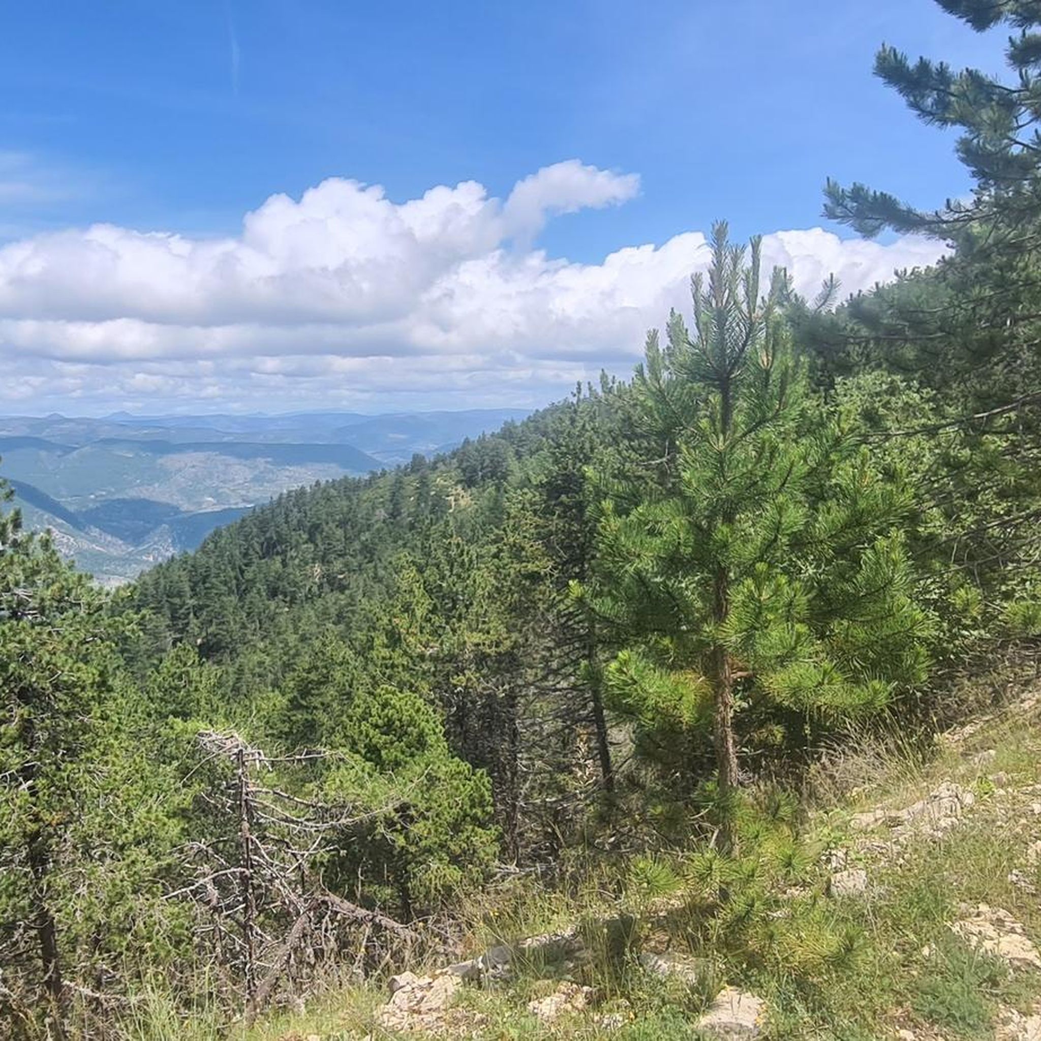
Best mountain passes around Savoillan are situated in the Vaucluse department of France, within the Baronnies Provençales Regional Natural Park. This region offers access to mountain passes appealing to hikers and cyclists. The area provides views of Mont Ventoux and the surrounding landscapes.
Best mountain passes around Savoillan
- The most popular mountain passes is Col de l'Homme Mort, a mountain pass that features a steady climb on a quiet road. The descent towards Sederon is a notable aspect of this route.
- Another must-see spot is Pass of Storms, a mountain pass and viewpoint. It is one of the final bends of the ascent to Mont Ventoux, offering expansive views and featuring a memorial.
- Visitors also love Macuègne Pass, a mountain pass with low traffic located on the northern slopes of Mont Ventoux. A large observatory is found nearby.
- Savoillan is known for mountain passes offering varied terrain for cycling and hiking, including intermediate climbs and scenic viewpoints. The region provides a range of routes to explore the natural landscape.
- The mountain passes around Savoillan are appreciated by the komoot community, with over 2200 upvotes and 1300 photos shared.
Last updated: October 13, 2026
Mont Ventoux summit
Highlight • Summit
On this square are the Belvedere of Provence which offers views of the Albion plateau to the Mediterranean and the Belvedere of the Alps which opens onto the northern part. On a clear day, you can clearly see the department of Drôme, the Pre-Alps and the Alps.
By climbing slightly to the base of the antenna, you will be able to read below written on the ground, in large figures, the new official measurement of the Giant of Provence by the IGN: 1,910 meters.
Translated by Google •
Tip by

Pass of Storms
Highlight • Mountain Pass
Translated by Google •
Tip by
Sign up now to discover places like this
Get recommendations on the best single tracks, peaks, & plenty of other exciting outdoor places.
Mont Ventoux Ascent from Sault
Highlight (Segment) • Climb
From Sault to the Reynard Chalet, the climb is 17.4 kilometers with an elevation gain of 705 meters. The average gradient is 4%.
If you're going to attempt to climb all three sides of Mont Ventoux in one day, then this is the slope to tackle last.
Translated by Google •
Tip by

Col de l'Homme Mort
Highlight • Mountain Pass
Tip by

Fontaube Pass
Highlight • Mountain Pass
Translated by Google •
Tip by
Sign up for free to discover even more mountain passes around Savoillan.
Already have an account?
Start today with a free account
Your next adventure awaits.
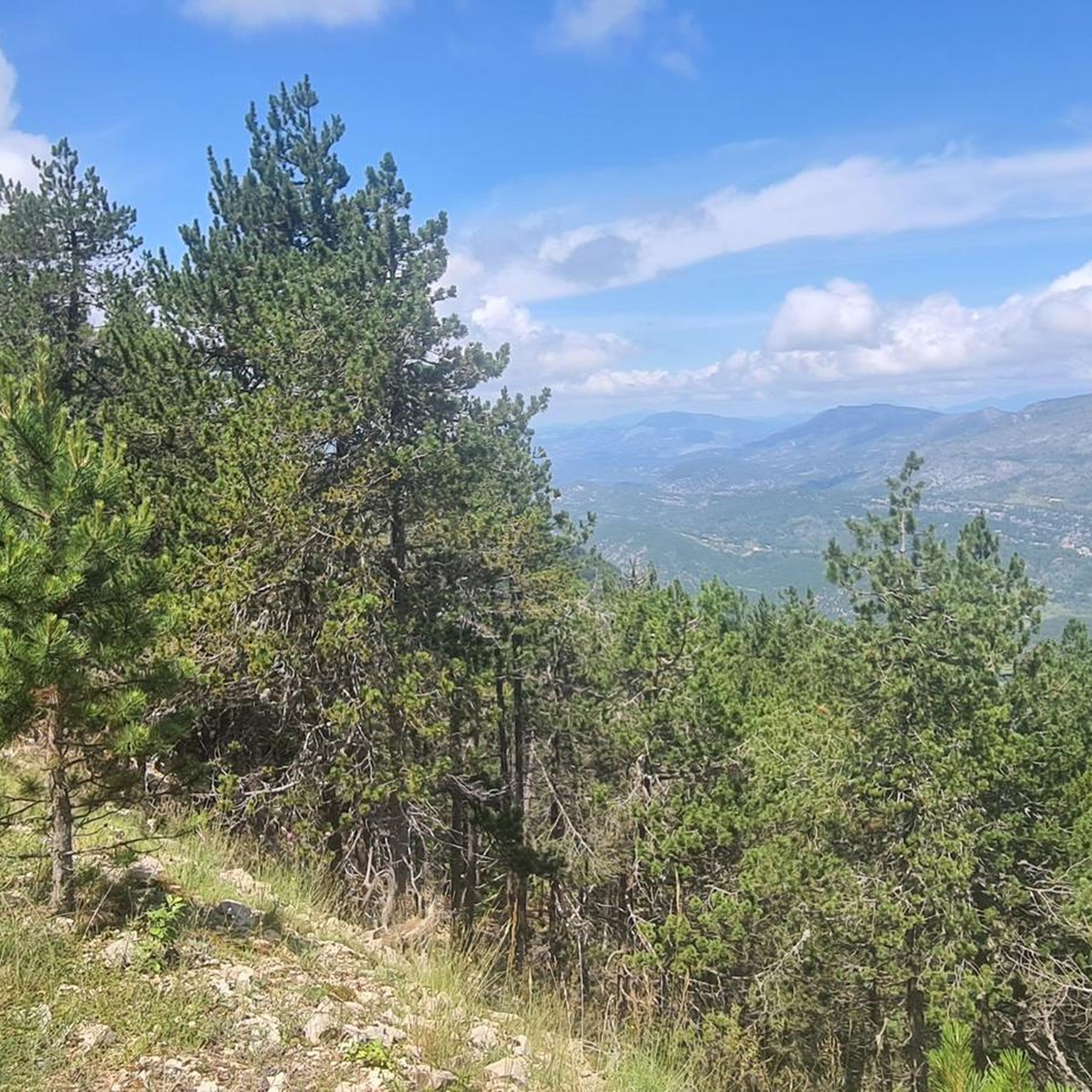
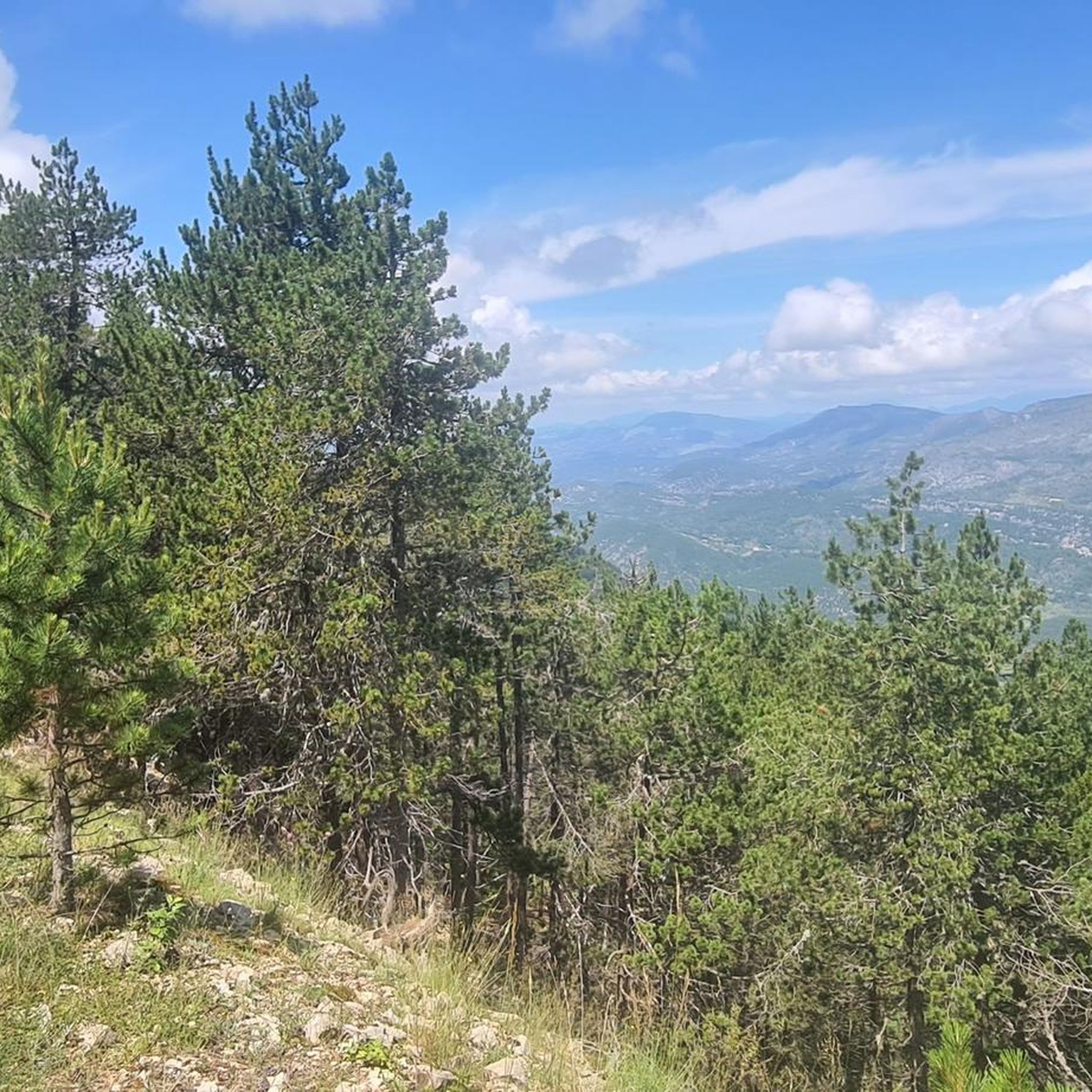
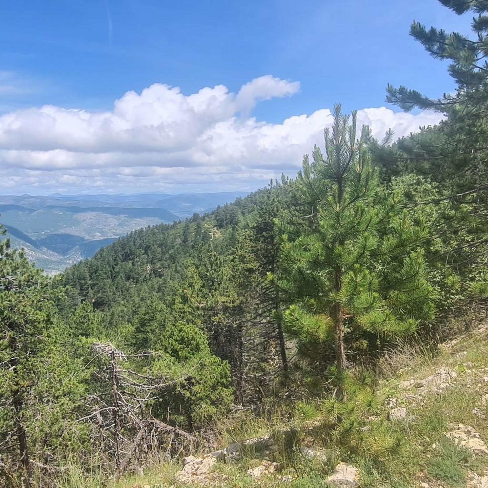
Tips from the Community

The view from the top is sublime.
4
0

Pretty pass with a gentle slope, very pleasant to climb.
0
0

A superb climb on smooth asphalt, even if it's not the most popular climb. Therefore, traffic is very light, which I personally find more important. Up to Chalet Reynard, you're surrounded by trees. Views are rare. Overall, the climb is very pleasant and suitable for those who want to take it easy.
3
0

Very welcome after the first climb, unfortunately only open during the season.
0
0

Located between Vaucluse and Drôme with incredible views of the Baronnies and Mont Ventoux.
1
0

From Ferrassières this climb is 5km and 5.5% on average.
1
1

You can climb this climb from Montbrun, Sederon or Sault. This climb is not too steep. Quiet roads
1
0

Gentle climb in the shadow of Mont Ventoux. You can climb from 3 sides. Accessible from Sault. The highest point is 1219 meters above sea level. Pretty boring scenery.
2
0
Frequently Asked Questions
What kind of views can I expect from the mountain passes around Savoillan?
The mountain passes in this region offer stunning panoramic views, particularly of Mont Ventoux and the surrounding landscapes of the Baronnies Provençales Regional Natural Park. From passes like Pass of Storms, you can enjoy expansive vistas, and from the ridges around Pas de la Frache, you can see towards the Alps, the Monts d'Ardèche, the Rhône, and the Luberon massif.
Are there any easy mountain passes or routes suitable for beginners near Savoillan?
Yes, for those seeking easier options, the Fontaube Pass is integrated into several moderate hiking loops. For example, the 'Brantes – Fontaube Pass loop' is a shorter 8.26 km route with 190m of elevation gain, offering accessible paths through olive groves, vineyards, and forests. While not explicitly listed as 'easy' in the guide data, the region research suggests its paths are generally accessible for various skill levels.
What are the best mountain passes for cycling around Savoillan?
The region is very popular with cyclists. Col de l'Homme Mort is known for its steady climb on a quiet road, with the descent towards Sederon being a highlight. Macuègne Pass also offers low traffic and is located on the northern slopes of Mont Ventoux. For a challenging ascent, the routes to Mont Ventoux summit, including those via Pas de la Frache, are iconic for cyclists.
Can I find challenging hiking trails near Savoillan's mountain passes?
Absolutely. For experienced hikers, the Pas de la Frache is a key point for more challenging ascents of Mont Ventoux. Routes like 'Mont Ventoux via the Pas de la Frache' from Chalet Reynard offer varied landscapes and 360-degree views, leading through forests, scree, and meadows as you approach the summit. The Mont Ventoux summit itself is a challenging climb.
What is the best time of year to visit the mountain passes around Savoillan?
The spring and autumn months are generally ideal for visiting the mountain passes around Savoillan. During these seasons, the weather is typically pleasant for hiking and cycling, and the landscapes are vibrant. While summer is also popular, it can be very hot, especially at lower elevations. Winter access can be limited at higher altitudes, particularly on Mont Ventoux, where conditions can be cold and snowy.
Are there any historical or memorial sites located on the mountain passes?
Yes, the Pass of Storms, one of the final bends of the ascent to Mont Ventoux, features a memorial dedicated to Tom Simpson, who tragically died during the Tour de France in 1967. This site offers a poignant historical connection amidst stunning views.
What outdoor activities, besides hiking and cycling, can I do near these mountain passes?
The region around Savoillan offers a variety of outdoor activities. You can explore numerous mountain biking trails, with options ranging from moderate to difficult, such as the 'Mont Ventoux summit – Mont Ventoux loop from Brantes'. There are also gravel biking routes available, like the 'Sault – Mont Ventoux loop from Sault'. For more details on these activities, you can check out the MTB Trails around Savoillan, Road Cycling Routes around Savoillan, and Gravel biking around Savoillan guides.
Are the mountain passes around Savoillan suitable for families with children?
Many of the passes offer routes that can be enjoyed by families. The Fontaube Pass, for instance, has hiking loops with accessible paths and moderate elevation gains, making them suitable for various skill levels, including families looking for a pleasant outdoor experience. Always check the specific route details for distance and elevation to ensure it matches your family's capabilities.
What should I wear when hiking or cycling in the Savoillan mountains?
Given the varied terrain and potential for significant elevation changes, it's advisable to dress in layers. Even if it's warm in the valley, temperatures can drop significantly at higher altitudes, especially on Mont Ventoux. Bring an extra jacket, and consider windproof and waterproof outer layers. Sturdy hiking shoes are essential for trails, and appropriate cycling gear is recommended for bike routes. Don't forget sun protection and plenty of water.
Are there any hidden gem mountain passes or less-trafficked routes to explore?
While the main passes are well-known, the region's extensive network of smaller roads and trails offers opportunities for discovery. Macuègne Pass is noted for having very little traffic, providing a quieter experience on the northern slopes of Mont Ventoux. Exploring the numerous loops around Fontaube Pass can also lead to less-trafficked paths through picturesque landscapes.
What kind of wildlife can I expect to see in the Savoillan mountains?
The Baronnies Provençales Regional Natural Park, where many of these passes are located, is rich in biodiversity. You might spot various bird species, including birds of prey, as well as smaller mammals. The diverse landscapes of forests, meadows, and rocky areas provide habitats for a range of flora and fauna, offering opportunities for nature observation, especially during quieter times of day.
Are there any circular walks available around the mountain passes?
Yes, several circular routes incorporate the mountain passes. For example, the Fontaube Pass is part of hiking loops like the 'Fontaube Pass – Brantes Village loop'. For more challenging options, the 'Mont Ventoux via the Pas de la Frache' is described as a beautiful circular route from Chalet Reynard. You can find more circular routes in the various activity guides for the region.
Most popular routes around Savoillan
Most popular attractions around Savoillan

Get inspired with the komoot mobile app


Explore more
See even more epic mountain passes by checking out these guides around Savoillan:
