The best walks and hikes around Ardon
4.5
(549)
4,050
hikers
260
hikes
Hiking around Ardon, situated in the Valais region of Switzerland, provides access to diverse mountainous landscapes. The area features dramatic alpine peaks, glaciers, and trails that traverse larch forests and lush meadows. River valleys and mountain streams are common, alongside deep-blue tarns and varied terrain ranging from rolling hills to rugged mountainous areas.
Best hiking trails in Ardon
- The most popular hiking route is Le Duveau — boucle 17 au départ de Jouy-le-Potier, a 7.0 miles (11.2 km) trail…
Last updated: July 4, 2026
3.8
(5)
26
hikers
11.2km
02:52
40m
40m
Moderate hike. Good fitness required. Easily-accessible paths. Suitable for all skill levels.
4.5
(15)
41
hikers
Moderate hike. Good fitness required. Easily-accessible paths. Suitable for all skill levels.

Sign up for free
4.3
(11)
65
hikers
Moderate hike. Good fitness required. Easily-accessible paths. Suitable for all skill levels.
4.1
(7)
29
hikers
17.4km
04:23
20m
20m
Moderate hike. Good fitness required. Easily-accessible paths. Suitable for all skill levels.
4.4
(8)
28
hikers
11.0km
02:46
20m
20m
Moderate hike. Good fitness required. Easily-accessible paths. Suitable for all skill levels.
Get access to more routes and recommendations from other explorers.
Sign up for free
Already have an account?
Our route recommendations are based on thousands of hikes, rides, and runs completed by other people on komoot.
Start today with a free account
Your next adventure awaits.
Login or Signup

Tips from the Community

Please note, as of 21/05/2026: Closure of the Gué du Roi path Due to recent weather conditions and rising water levels in La Ferté-Saint-Aubin in March 2026, the Gué du Roi path is currently closed to the public for an indefinite period. This closure concerns hikers and walkers using this route. Current conditions do not guarantee user safety. We therefore ask you not to use this path until further notice. The following loops are accessible from La Ferté-Saint-Aubin: 2 - Sologne secrète des étangs et des demeures 7 - Les Étangs 16 - le Ciran In the meantime, numerous hiking trails in Sologne remain accessible and allow you to fully enjoy the nature and landscapes of the area. Information: T 02 38 64 83 81
0
0
La Ferté Saint-Aubin is a French commune located in the Loiret department, in the Centre-Val de Loire region. https://www.loiretbalades.fr/fr/je-randonne/pied/balades-et-randonnees-pedestres It is the commune that occupies the largest land area in the Loiret. La Ferté Saint-Aubin was formed by the union of two villages, La Ferté to the north, and Saint-Aubin to the south. Numerous hiking circuits start from La Ferté St Aubin Departures from the Campsite Parking: Boucle 01 - Les Grands Cerfs Boucle 06 - La Bruyère Departures from the Château Parking: Boucle 02 - Sologne secrète des étangs et des demeures Boucle 07 - Les Etangs Boucle 16 - Le Ciran
0
0
On 12/05/2026, the trail along the Cosson, starting from Boucles 02 and 16, near the castle, is impassable. Works?
0
0
Domaine du Donjon Rue de la Trésorerie 45160 OLIVET Located on a 83-hectare municipal wooded estate, on the edge of Sologne, the Domaine du Donjon offers everyone multiple relaxation opportunities: two fitness and walking trails, an orienteering course, a picnic area, large game fields for football and baseball, fields for Lyonnaise bowls, a miniature golf course, tennis courts, a club-house, fields for field hockey, an equestrian center, a BMX track, a mountain bike trail...
0
0

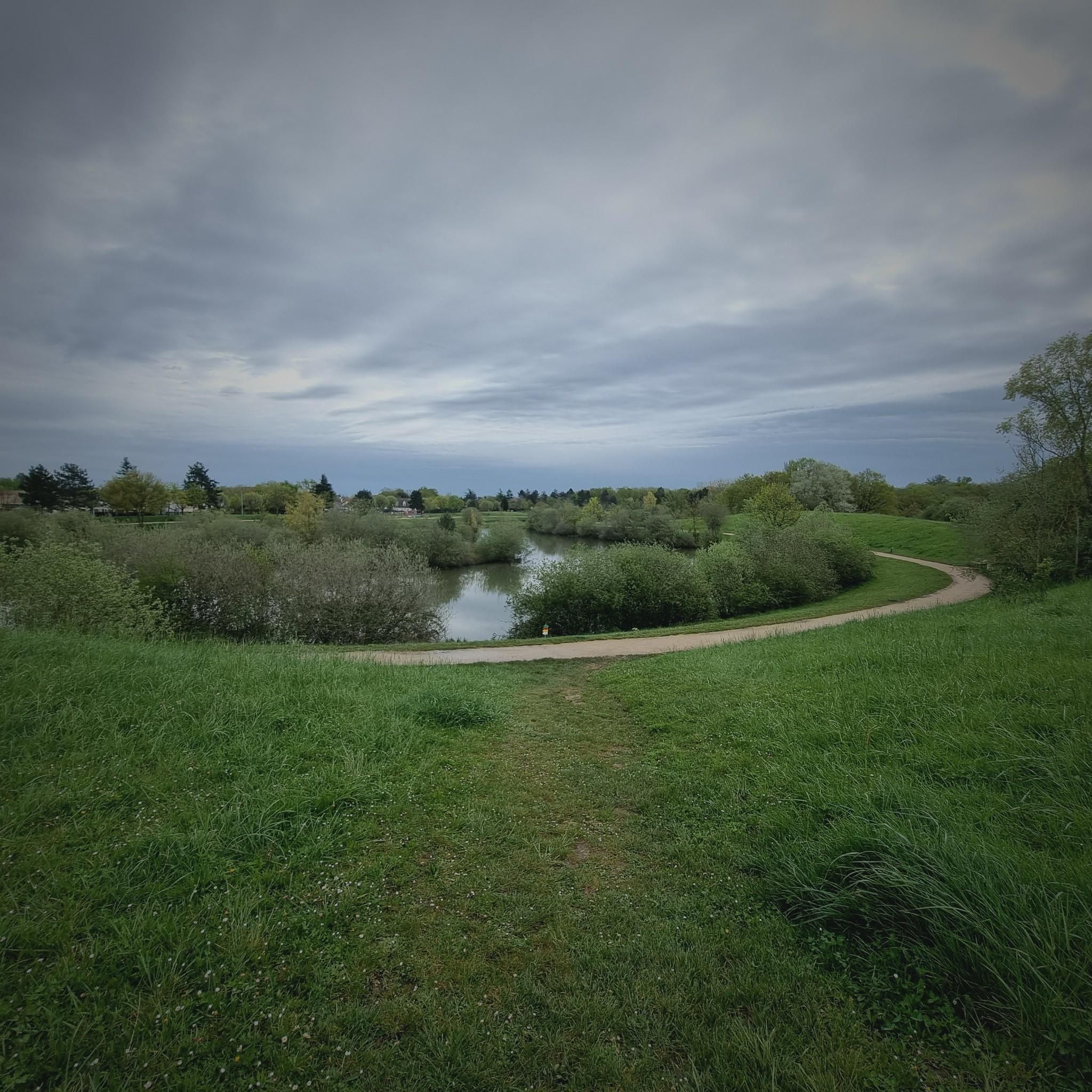
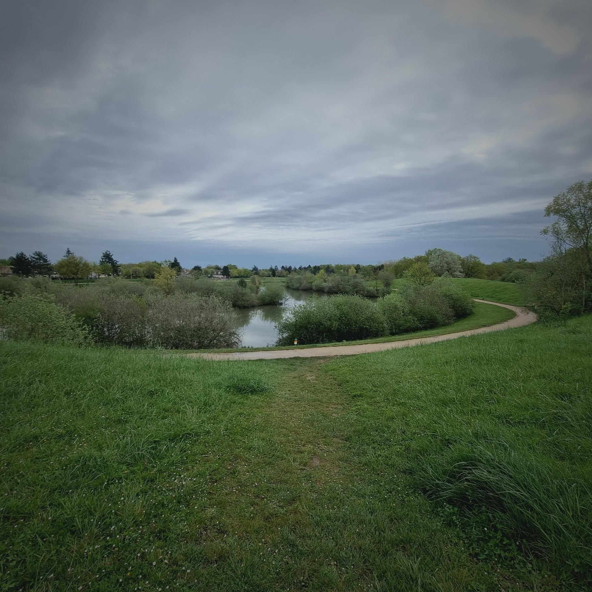
Of these pretty, quiet roads in Sologne that we enjoy traveling on foot, contrary to what its name suggests.
1
0

The Morchêne castle park is located in Saint-Cyr-en-Val. The property owes its name to the Etang de Morchêne which feeds the Dhuy, a tributary of the Loiret, which crosses the town.
0
0
The castle is located in the domain of Morchêne, on the territory of the municipality of Saint-Cyr-en-Val. The property owes its name to the Etang de Morchêne which feeds the Dhuy, a tributary of the Loiret, which crosses the town.
0
0

The construction of the castle was undertaken in 1625 by Henri I de la Ferté-Senneterre. The residence surrounded by a moat stands on the banks of the Cosson river. You can explore the castle, the gardens, the 40-hectare natural park, or even taste their famous honey madeleines which are prepared in the kitchens.
0
0
Frequently Asked Questions
How many hiking trails are available around Ardon?
There are over 240 hiking routes around Ardon, catering to various skill levels. You'll find a good mix, with more than 130 easy trails, over 100 moderate options, and a selection of more challenging routes for experienced hikers.
What kind of landscapes can I expect to see while hiking near Ardon?
The region around Ardon in the Jura department of France offers diverse natural beauty. You can expect to encounter lush river valleys, unique geological formations where the Ain river has carved its path through limestone, and scenic viewpoints offering expansive vistas of the countryside.
Are there any waterfalls to visit near Ardon?
Yes, a notable natural attraction is the Moulin du Saut Waterfall. This beautiful 15-meter high waterfall is formed by the Serpentine, a tributary of the Ain river. Near the falls, you can also see a small lake and the ruins of an old mill, adding to the picturesque scenery.
What do other hikers say about the trails in Ardon?
The hiking trails around Ardon are highly regarded by the komoot community, with an average rating of 4.6 stars from over 480 reviews. Hikers often praise the varied landscapes, from tranquil parklands to scenic river loops, and the well-maintained paths.
Are there any circular hiking routes around Ardon?
Yes, many routes around Ardon are circular, offering convenient starting and ending points. For example, you could explore the La Ferté-Saint-Aubin Castle – Le Cosson loop from La Ferté Saint-Aubin, which is a moderate 14.5 km trail, or the shorter Morchène Park loop from Saint-Cyr-en-Val La-Source, an 8.7 km route through parkland.
What are some interesting landmarks or attractions to see while hiking near Ardon?
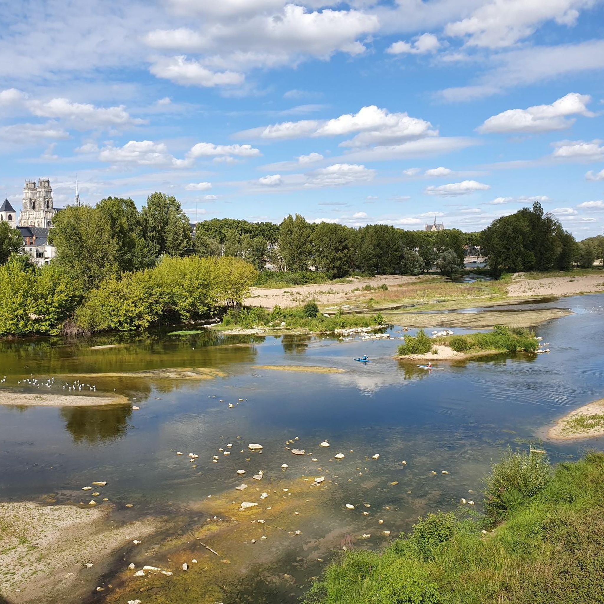
Beyond the natural beauty, the area boasts several historical and cultural landmarks. You can visit the impressive Sainte-Croix d'Orléans Cathedral, the historic La Ferté-Saint-Aubin Castle, or the serene La Source Floral Park. The Confluence of the Loire and the Loiret also offers a unique natural sight.
Are there any longer, more challenging hikes available?
While many routes are moderate, there are options for longer walks. For instance, the Hiking loop from Espace Naturel Sensible des Dolines de Limère is a moderate 17.4 km trail that takes approximately 4 hours and 23 minutes to complete. For those seeking elevated perspectives, the ascent to Mont-sur-Monnet in the Jura department offers breathtaking views.
Can I find trails that pass by historical mills or similar points of interest?
Yes, the region has a history tied to its waterways. The Moulin de Saint-Samson – Moulin des Béchets loop from Olivet is a 10.4 km moderate trail that will take you past historical mill sites. Additionally, near the Moulin du Saut Waterfall, you can observe the ruins of an old mill.
What is a good moderate hike to experience the local scenery?
A great moderate option is Le Duveau — boucle 17 au départ de Jouy-le-Potier. This 11.2 km trail takes about 2 hours and 52 minutes and offers a pleasant experience through varied landscapes typical of the Ardon area.
Are there any specific geological features worth noting in the Ardon hiking area?
Absolutely. The area around Ardon reveals a fascinating geological past. Millions of years ago, the Ain river flowed underground through a complex network of cavities. Today, you can witness a unique natural site where the river carves its path among rocky formations and stone remnants, a result of water erosion sculpting the limestone over time.
Most popular attractions around Ardon

Get inspired with the komoot mobile app


Explore more
Browse the best Hikes in other regions.
