The best walks and hikes around Chaillevois
4.5
(297)
1,362
hikers
103
hikes
Hiking around Chaillevois offers a diverse landscape characterized by rolling hills, dense woodlands, and agricultural plains. The region features a network of trails that traverse varied terrain, including paths alongside water bodies and through historical areas. These routes provide opportunities to explore the natural environment and local heritage.
Best hiking trails around Chaillevois
- The most popular hiking route is End of single loop from Mons-en-Laonnois, a 6.5 miles (10.5 km) trail that takes 2 hours 55 minutes to complete.…
Last updated: October 8, 2026
4.7
(13)
38
hikers
10.1km
02:46
160m
160m
Moderate hike. Good fitness required. Easily-accessible paths. Suitable for all skill levels.
4.7
(3)
7
hikers
15.0km
04:01
190m
190m
Moderate hike. Good fitness required. Easily-accessible paths. Suitable for all skill levels.

4.5
(17)
11
hikers
9.37km
02:30
100m
100m
Moderate hike. Good fitness required. Easily-accessible paths. Suitable for all skill levels.
4.0
(2)
8
hikers
22.5km
06:13
380m
380m
Hard hike. Very good fitness required. Easily-accessible paths. Suitable for all skill levels.
4.8
(12)
10
hikers
11.4km
03:10
200m
200m
Moderate hike. Good fitness required. Easily-accessible paths. Suitable for all skill levels.
Get access to more routes and recommendations from other explorers.
Already have an account?
Our route recommendations are based on thousands of hikes, rides, and runs completed by other people on komoot.
Start today with a free account
Your next adventure awaits.
Tips from the Community

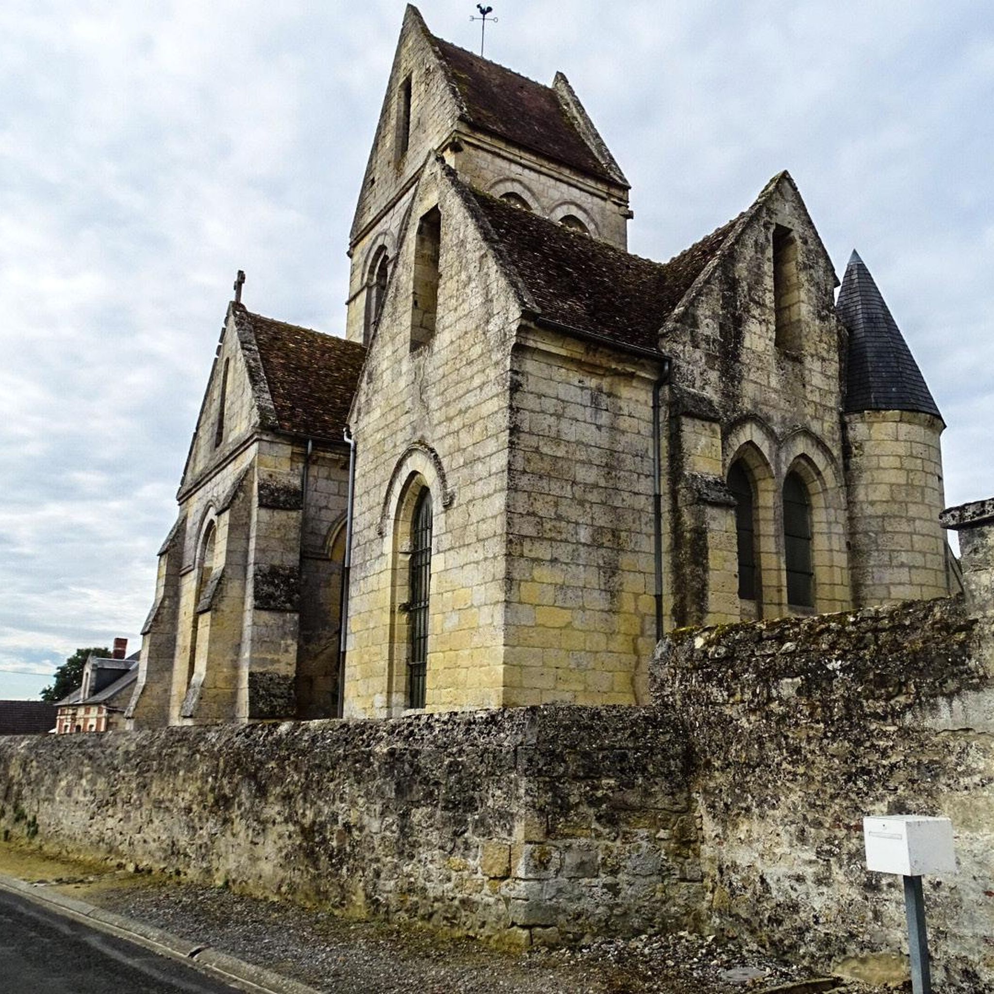
Its construction began in the 13th century, and this church has several peculiarities: its nave comprises only two bays, and its choir communicates with two side chapels placed obliquely at 45° (a layout also found in the churches of Saint Michel en Thiérache, Braine, or Chaudardes). It was, however, damaged during the Hundred Years' War, and received fortifications in the 16th century. Inside, a large sculpted Christ (16th century) is worth seeing, and outside, a large obituary inscription (15th century), to the left of the western porch.
0
0

Beautiful church in this small village.
0
0


little corner of peace
0
0


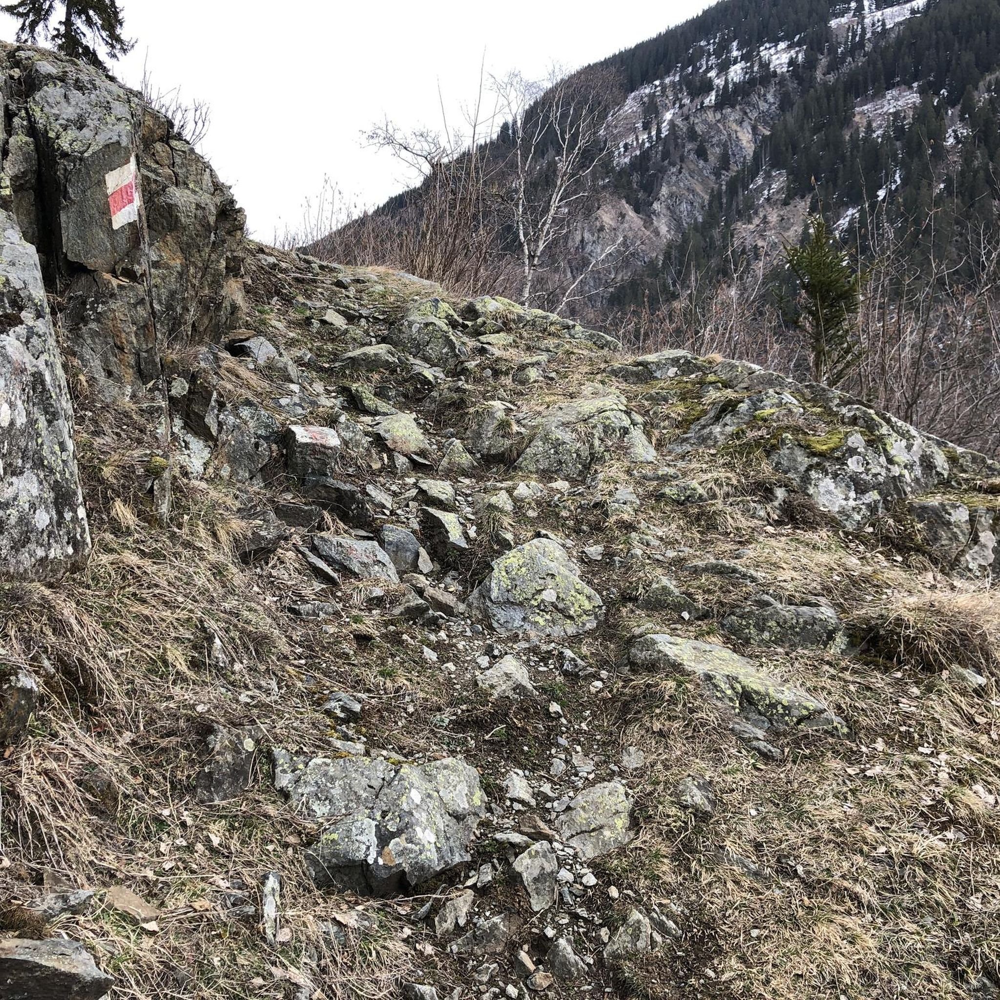
Last part of the path to the stone fort, quite rolling
0
0

An Art Deco church, from where you can also observe a magnificent panorama of the Monts du Laonnois.
0
0
Frequently Asked Questions
How many hiking trails are available around Chaillevois?
There are over 90 hiking trails around Chaillevois, catering to various skill levels. You'll find a diverse network of paths through woodlands, open fields, and alongside water features.
Are there easy hikes suitable for families or beginners in Chaillevois?
Yes, Chaillevois offers 38 easy trails perfect for families or those new to hiking. A great option is the Hiking loop from Merlieux-et-Fouquerolles, a 4.7 km route that takes about 1 hour 17 minutes to complete, featuring gentle terrain.
Are the hiking trails around Chaillevois dog-friendly?
Many trails around Chaillevois are suitable for dogs, provided they are kept on a leash, especially when passing through agricultural areas or near wildlife. The region's woodlands and open paths offer plenty of space for you and your canine companion to explore.
Are there any circular hiking routes in Chaillevois?
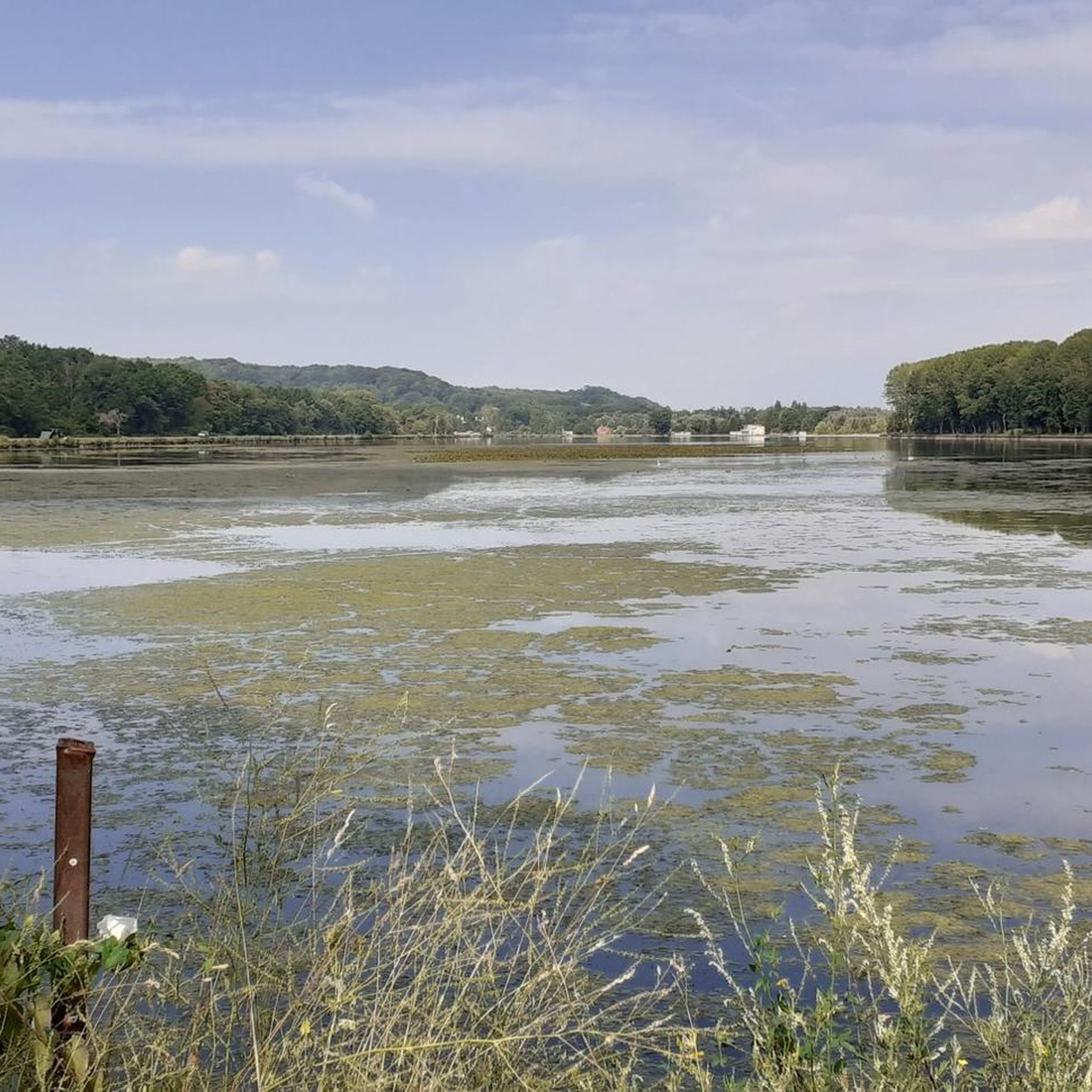
Yes, many of the trails in Chaillevois are circular, allowing you to start and end at the same point. For example, the Lake Monampteuil loop from Urcel is a popular 9.4 km circular route offering scenic lake views and surrounding forests.
What kind of landscapes can I expect to see on a hike in Chaillevois?
Hiking around Chaillevois offers a varied landscape characterized by rolling hills, dense woodlands, and agricultural plains. You'll also find paths alongside water bodies and through historical areas, providing a mix of natural beauty and cultural interest.
What are some interesting landmarks or attractions to see along the trails?
While hiking, you can explore several historical and cultural landmarks. Consider visiting the Notre-Dame Cathedral, the ancient Porte d'Ardon, or the Laon Old Town — Murals and Fortifications, which are all accessible from various routes in the wider region.
Are there longer or more challenging hikes for experienced hikers?
For experienced hikers seeking a challenge, Chaillevois has 2 difficult routes. The Trail along the Creutes – Saint-Rémi Church loop from Montbavin is a demanding 22.5 km route with significant elevation changes, typically taking over 6 hours to complete.
What is the best time of year to go hiking in Chaillevois?
The best time to hike in Chaillevois is generally from spring to autumn (April to October) when the weather is mild and the natural scenery is at its most vibrant. Spring brings blooming wildflowers, while autumn offers beautiful foliage. Summers are pleasant but can be warm, so early morning or late afternoon hikes are recommended.
What do other hikers enjoy most about the trails in Chaillevois?
The trails in Chaillevois are highly rated by the komoot community, with an average score of 4.6 stars from over 215 reviews. Hikers often praise the diverse landscapes, the tranquility of the woodlands, and the well-maintained paths that make for an enjoyable outdoor experience.
Is there public transport available to reach the hiking areas around Chaillevois?
Public transport options to specific trailheads around Chaillevois can be limited. It's advisable to check local bus schedules for connections to nearby towns like Laon or Urcel, from which some routes might be accessible. Planning your route in advance with transport in mind is recommended.
Where can I find parking for hiking trails in Chaillevois?
Parking is generally available in the villages and towns near the trailheads, such as Mons-en-Laonnois, Merlieux-et-Fouquerolles, or Urcel. Look for designated parking areas or public spaces within these communities before starting your hike.
Are there any hikes that feature water bodies or lakes?
Yes, several routes incorporate water features. The Lake Monampteuil loop from Urcel is a prime example, offering beautiful views of the lake and its surrounding forests, making it a popular choice for those who enjoy waterside walks.
Most popular routes around Chaillevois
Most popular attractions around Chaillevois

Get inspired with the komoot mobile app


Explore more
Browse the best Hikes in other regions.
