The best running trails around Conliège
4.2
(70)
3,680
runners
337
runs
Jogging around Conliège offers diverse landscapes within the French Jura region, characterized by a mix of forest paths, greenways, and scenic viewpoints. The area features varied terrains, including well-maintained greenways and numerous forest paths that wind through serene environments. Runners can explore unique features like tunnels and viaducts, alongside climbs to belvédères offering panoramic views over the surrounding valleys. This region provides a natural and engaging backdrop for running, with its hills, valleys, and woodlands.
Best jogging routes around Conliège
…Last updated: July 3, 2026
3.0
(1)
89
runners
9.97km
01:04
90m
90m
Moderate run. Good fitness required. Mostly paved surfaces. Suitable for all skill levels.
21
runners
16.0km
01:41
130m
130m
Hard run. Very good fitness required. Mostly paved surfaces. Suitable for all skill levels.

Sign up for free
17
runners
10.2km
01:17
260m
260m
Moderate run. Good fitness required. Mostly paved surfaces. Suitable for all skill levels.
9
runners
3.87km
00:32
140m
140m
Hard run. Good fitness required. Sure-footedness, sturdy shoes and alpine experience required.
11
runners
6.29km
00:45
120m
120m
Moderate run. Good fitness required. Mostly paved surfaces. Suitable for all skill levels.
Get access to more routes and recommendations from other explorers.
Sign up for free
Already have an account?
Our route recommendations are based on thousands of hikes, rides, and runs completed by other people on komoot.
Start today with a free account
Your next adventure awaits.
Login or Signup

Tips from the Community

The Courlan viaduct spans the Vallière river. 338 meters long and 16 meters high, it has 16 arches. A beautiful structure to see along the Voie Bressane greenway.
0
0

This easy-to-access circuit is perfect for exploring a loop that takes in varied and easy paths. However, bring a lamp as there are many tunnels and they are sometimes poorly lit.
1
0

This place is from another time and truly deserves to spend a little time there, both for the panorama and for the architecture.
0
0


Good bike path on the old railway line
1
0

Claude Joseph Rouget de Lisle or Claude Joseph Rouget de l'Isle, born Claude Joseph Rouget (May 10, 1760 in Lons-le-Saunier – June 26, 1836 in Choisy-le-Roi)[1] was a French Composer, poet and officer. On the night of April 25-26, 1792, during the declaration of war on Austria, he wrote and composed the war song of the French Army of the Rhine, Chant de guerre pour l'armée du Rhin, in Strasbourg, Alsace, which later became a revolutionary song under the name Marseillaise. Six years after the storming of the Bastille, the Marseillaise was declared the national anthem on July 14, 1795, banned several times in the following years during the Empire and the Restoration epoch and only recognized again after the July Revolution of 1830. Source: https://de.wikipedia.org/wiki/Claude_Joseph_Rouget_de_Lisle
1
0

Wonderfully located in the Parc des Bains, which also serves as a city park for the residents.
2
0

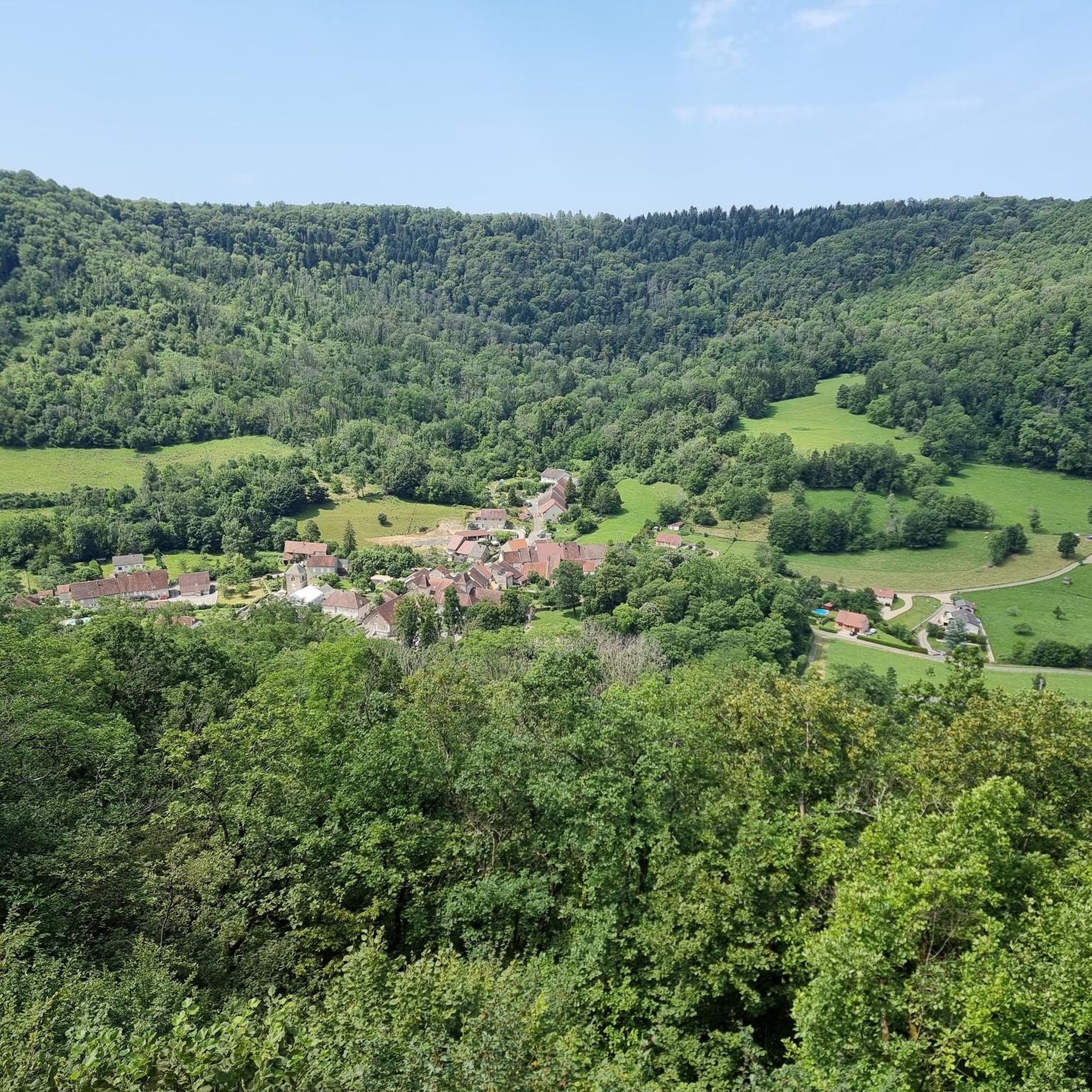
The Guillotine belvedere dominates the village of Révigny and its crescent-shaped retreat. It offers one of those typical panoramas of the Jura relief and landscape.
1
0
Frequently Asked Questions
How many running routes are available around Conliège?
There are over 300 running routes around Conliège, offering a wide variety of options for all skill levels. You'll find everything from easy paths to challenging trails through the diverse landscapes of the French Jura region.
What kind of terrain can I expect on jogging trails in Conliège?
Jogging trails in Conliège feature a diverse mix of terrain. You can expect well-maintained greenways, serene forest paths, and routes that incorporate unique features like tunnels and viaducts. The region's position within the Jura Mountains also means varied gradients, including hills and valleys, offering both gentle and more challenging sections.
Are there any easy running routes suitable for beginners or families in Conliège?
Yes, Conliège offers a selection of easy running routes perfect for beginners or families. Approximately 15 routes are classified as easy, often following greenways or less strenuous forest paths. These provide a pleasant way to enjoy the natural beauty without significant elevation changes.
Can I find challenging running trails for experienced runners in the Conliège area?
Absolutely. For experienced runners seeking a challenge, Conliège has over 80 difficult routes. These trails often feature significant elevation gains and varied terrain, such as The Conliège Hermitage – Guillotine Viewpoint loop from Lons-le-Saunier, which includes climbs to panoramic viewpoints and covers nearly 16 km.
Are there any circular running routes around Conliège?
Yes, many of the running routes around Conliège are circular, allowing you to start and finish at the same point. For example, the moderate Grand bassin loop from Perrigny is a popular circular trail leading through local woodlands.
What are some scenic highlights or viewpoints I can discover while running in Conliège?
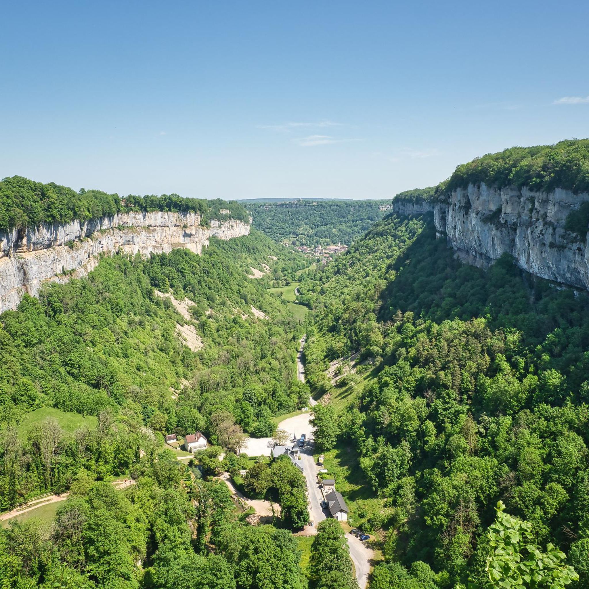
The Conliège region is known for its spectacular viewpoints. Many running routes incorporate climbs to spots like the Belvédère des Tilleuls, offering panoramic views over Lons-le-Saunier and the Revigny valley. The Belvédère de la Guillotine is also a notable feature on some circuits, providing rewarding scenic breaks. You might also encounter unique features like the nearly 900-meter-long Tunnel de Diane.
Are there any routes that pass by interesting landmarks or natural attractions?
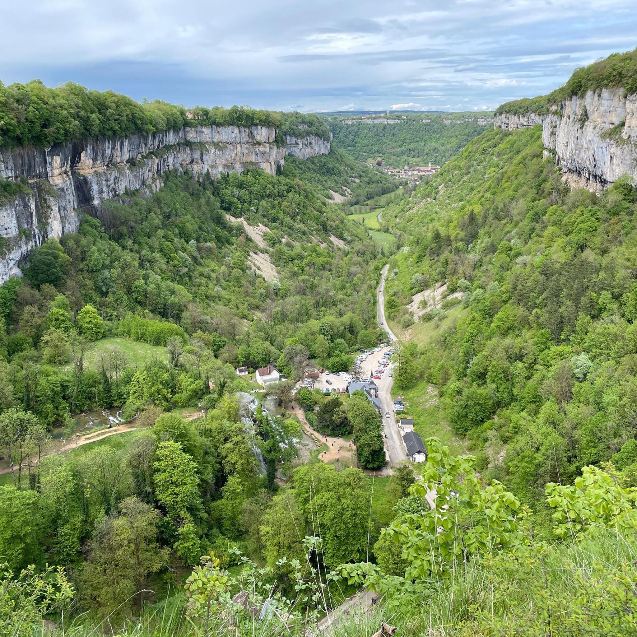
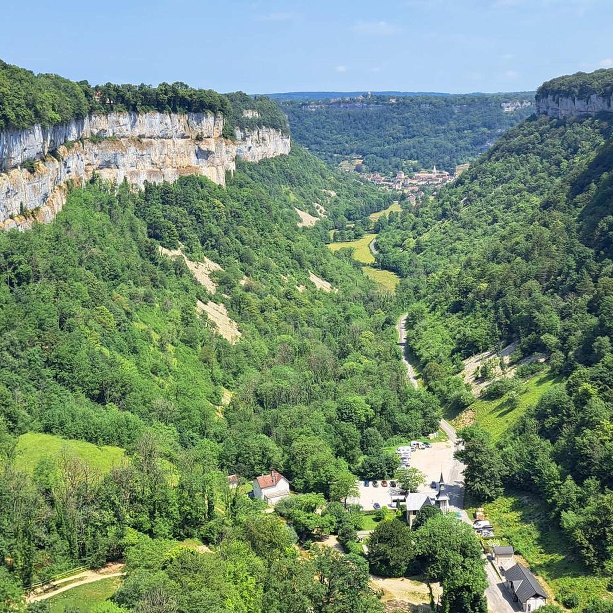
Yes, several routes offer glimpses of interesting landmarks and natural attractions. You can explore routes that pass through unique infrastructure like the Tunnel de la Diane (Voie PLM). While major waterfalls like Hérisson are further afield, the broader Jura region is rich in water features. Nearby, you can find the impressive Baume-les-Messieurs Tufa Waterfall and the Grottes de Baumes — Waterfall and Cave, which can be explored as part of a longer outing.
What do other runners think about the trails in Conliège?
The running routes in Conliège are highly regarded by the komoot community, holding an average score of 4.1 stars from over 60 reviews. More than 3000 runners have used komoot to explore the varied terrain, often praising the diverse landscapes, well-maintained paths, and the stunning views from the belvédères.
Are there any running routes that include tunnels or viaducts?
Yes, a unique aspect of running in Conliège is the presence of tunnels and viaducts. The Tunnel de la Diane (Voie PLM) loop from Perrigny is a moderate 9 km route that specifically features the nearly 900-meter-long, motion-detection lit Tunnel de Diane, adding an interesting historical dimension to your run.
Can I find routes that connect Conliège with nearby towns like Lons-le-Saunier?
Certainly. There are routes designed to connect Conliège with neighboring areas. For instance, the moderate Lons-le-Saunier loop from Conliège is a popular 10 km path that takes you through the local landscape towards Lons-le-Saunier and back, offering varied scenery along the way.
What is the typical elevation gain on running routes in Conliège?
The elevation gain varies significantly depending on the route's difficulty. Easy routes might have minimal elevation, while difficult trails can feature substantial climbs. For example, a challenging route like The Conliège Hermitage loop from Lons-le-Saunier involves an elevation gain of over 270 meters, providing a good workout with rewarding views.
Most popular attractions around Conliège

Get inspired with the komoot mobile app


Explore more
Browse the best Running Trails & Routes in other regions.
