The best road cycling routes around Clairegoutte
4.7
(82)
3,935
riders
126
rides
Road cycling routes around Clairegoutte are situated in the Haute-Saône department of the Bourgogne-Franche-Comté region in eastern France. The commune features a hilly and wooded environment, with elevations ranging from 305 to 598 meters, providing varied terrain for cyclists. This area is characterized by dense forests, including the Forest of Champagney and Forêt Domaniale du Chérimont, and is influenced by the nearby Vosges mountains. The Clairegoutte River also originates within the commune, adding to the natural landscape.
Best road cycling…
Last updated: July 13, 2026
3.5
(4)
1,283
riders
36.2km
01:30
240m
240m
Easy road ride. Great for any fitness level. Mostly well-paved surfaces and easy to ride.
5.0
(1)
46
riders
101km
05:12
1,680m
1,680m
Hard road ride. Very good fitness required. Mostly well-paved surfaces and easy to ride.

Sign up for free
13
riders
129km
06:14
1,760m
1,760m
Hard road ride. Very good fitness required. Mostly well-paved surfaces and easy to ride.
21
riders
70.7km
03:16
830m
830m
Moderate road ride. Good fitness required. Mostly well-paved surfaces and easy to ride.
5.0
(1)
12
riders
28.1km
01:11
180m
180m
Easy road ride. Great for any fitness level. Mostly well-paved surfaces and easy to ride.
Get access to more routes and recommendations from other explorers.
Sign up for free
Already have an account?
Our route recommendations are based on thousands of hikes, rides, and runs completed by other people on komoot.
Start today with a free account
Your next adventure awaits.
Login or Signup



Tips from the Community

A small pass after the Ballon de Severance. Refreshment stand with a view.
0
0
It starts gently... but that's just the beginning.
0
0

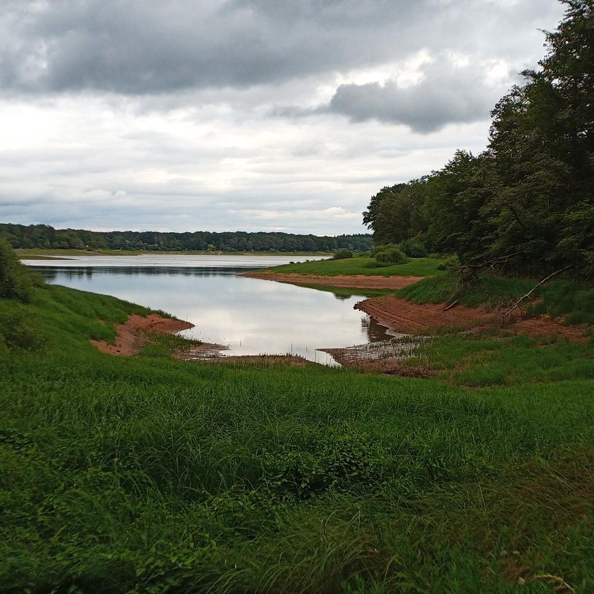
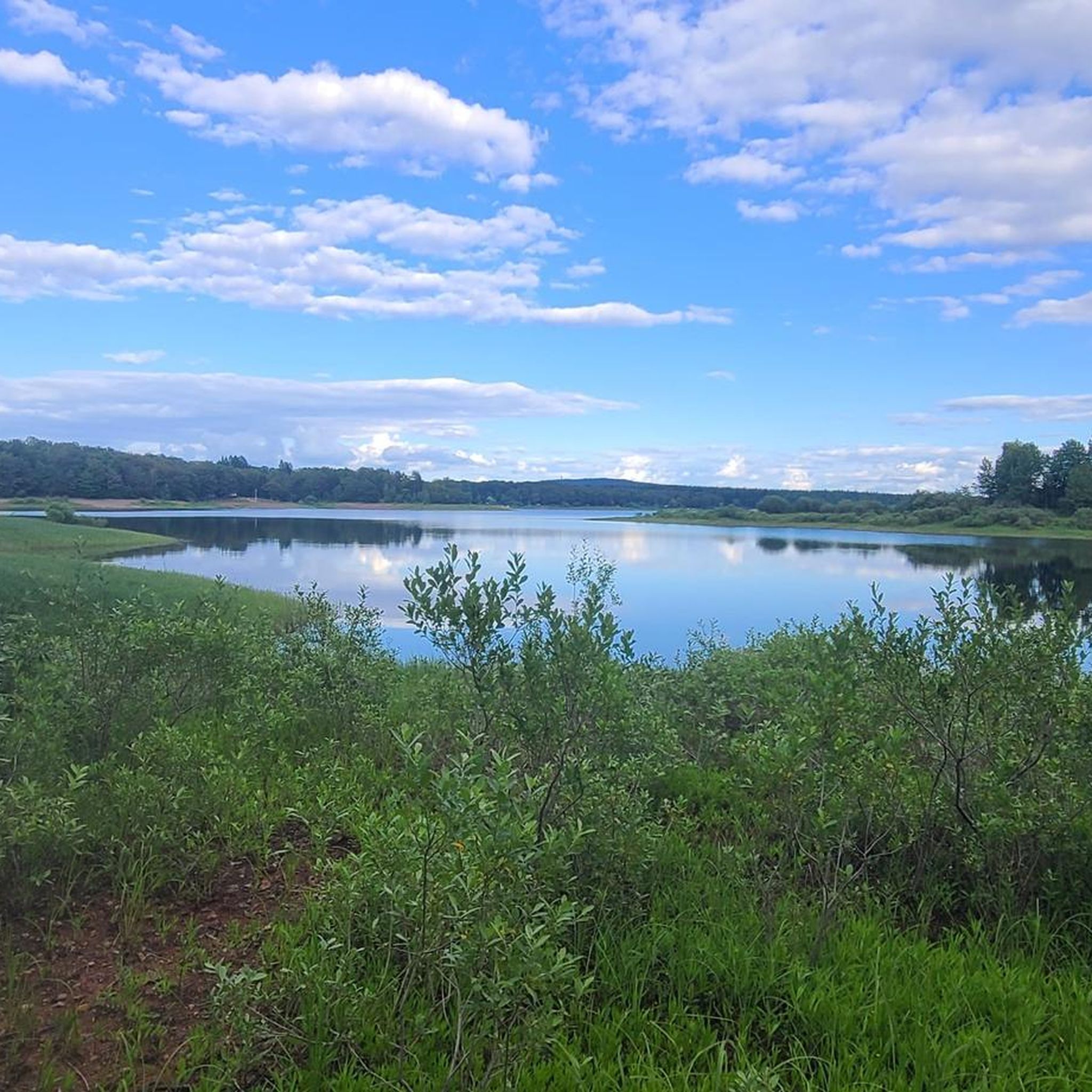
The beautiful mirror-like lake, surrounded by beautiful vegetation, is also explained on the information board. The insect-eating sundew is common there.
1
0

Nice turtleneck for in between
0
0

monumental climb, also a nice descent
0
0
Nice quiet place to take a break.
1
0
Monumental, what a climb
0
0
Good, affordable accommodation. Right in the heart of the Cols.
0
0
Frequently Asked Questions
How many road cycling routes are available around Clairegoutte?
There are over 130 road cycling routes around Clairegoutte, offering a wide range of options for different skill levels. You'll find approximately 40 easy routes, 80 moderate routes, and 15 challenging routes to explore.
What kind of terrain can I expect when road cycling near Clairegoutte?
Clairegoutte is situated in a hilly and wooded environment, with elevations ranging from 305 to 598 meters. This means you can expect undulating terrain with both challenging climbs and scenic descents. The region is characterized by dense forests, including the Forest of Champagney and Forêt Domaniale du Chérimont, and is influenced by the nearby Vosges mountains, providing a diverse and picturesque backdrop for your rides.
Are there any family-friendly road cycling routes in the Clairegoutte area?
Yes, Clairegoutte offers several easy road cycling routes suitable for families. For instance, the Mélisey – Superb café-resto brocante loop from Andornay is an easy 35.6 km ride with minimal elevation gain, perfect for a relaxed family outing. The region's extensive network includes many well-paved surfaces suitable for all fitness levels.
What are some notable natural features or landmarks I can see while cycling around Clairegoutte?
The region boasts several natural and cultural points of interest. You can cycle through the unique landscape of the Plateau des Mille Étangs, known for its glacial formations, on routes like the Plateau des mille étangs – Ronchamp loop from Andornay. Other attractions include the Ballastières Beach, the Viewpoint overlooking Lake Malsaucy, and the Champagney Dam. For a cultural highlight, the iconic Notre-Dame-du-Haut Chapel in Ronchamp is also nearby.
When is the best time of year to go road cycling in Clairegoutte?
The most popular times for cycling in the Bourgogne-Franche-Comté region, including Clairegoutte, are July and August. During these months, the weather is generally favorable for outdoor activities. However, the hilly and wooded environment offers pleasant riding conditions throughout the warmer months, from spring to early autumn.
Are there any challenging road cycling routes with significant climbs near Clairegoutte?
Absolutely. Clairegoutte's proximity to the Vosges mountains means there are routes with substantial climbs. For a difficult challenge, consider the Col du Ballon d'Alsace – Ballon d'Alsace loop from Ronchamp, which features significant ascents. Another demanding option is the La Planche des Belles Filles – Ballon de Servance loop from Ronchamp, known for its challenging elevation gains.
What do other road cyclists say about the routes in Clairegoutte?
The road cycling routes around Clairegoutte are highly rated by the komoot community, with an average score of 4.7 stars from over 70 reviews. Cyclists often praise the varied terrain, the scenic wooded landscapes, and the challenging climbs that make for rewarding rides. Over 3,800 road cyclists have used komoot to explore this area.
Are there any circular road cycling routes available?
Yes, many of the road cycling routes around Clairegoutte are designed as loops, allowing you to start and finish in the same location. Examples include the Col du Ballon d'Alsace – Ballon d'Alsace loop from Ronchamp and the Col des Croix – View of Lake Lispach loop from Ronchamp, providing convenient options for your ride.
Can I find places to eat or drink along the road cycling routes?
While specific cafes or restaurants directly on every route are not detailed, the region offers opportunities for stops. The Mélisey – Superb café-resto brocante loop from Andornay specifically highlights a café-resto, suggesting that towns and villages along various routes will have amenities. It's always a good idea to plan your stops in advance.
What makes the Clairegoutte region unique for road cycling?
Clairegoutte's unique appeal for road cycling stems from its location within the Haute-Saône department, offering a blend of hilly and wooded terrain, dense forests, and proximity to the Vosges mountains. The presence of the Clairegoutte River and the nearby Plateau des Mille Étangs adds to the natural beauty, providing a diverse and engaging environment for cyclists of all levels.
Are there any specific viewpoints or scenic spots along the road cycling routes?
Many routes in the Clairegoutte area offer 'très beaux points de vue' (very beautiful viewpoints). For example, the Col des Croix – View of Lake Lispach loop from Ronchamp provides views of Lake Lispach. The undulating terrain naturally creates numerous opportunities for panoramic vistas over the wooded landscapes and surrounding valleys.
Most popular routes around Clairegoutte
Most popular attractions around Clairegoutte

Get inspired with the komoot mobile app


Explore more
Browse the best Road cycling routes in other regions.
