The best MTB trails around Saint-Seurin-De-Palenne
4.4
(80)
350
riders
31
rides
Mountain biking around Saint-Seurin-De-Palenne offers diverse terrain within France's Nouvelle-Aquitaine region. The area features a pastoral setting with valleys shaped by agriculture and viticulture, alongside verdant forests. Its landscape includes "terre de groie" and Quaternary alluvial terraces, providing natural undulations and varied surfaces suitable for mountain bike trails. Proximity to significant forested areas like the Forêt de Pons further enhances the region's appeal for outdoor exploration.
Best mountain bike trails around Saint-Seurin-De-Palenne
- The most popular mountain bike trail is Donjon…
Last updated: October 14, 2026
5.0
(1)
11
riders
42.4km
03:06
390m
390m
Moderate mountain bike ride. Good fitness required. Suitable for all skill levels.
4.2
(27)
104
riders
34.5km
02:43
260m
260m
Moderate mountain bike ride. Good fitness required. Suitable for all skill levels.

14
riders
7.01km
00:32
40m
40m
Easy mountain bike ride. Great for any fitness level. Suitable for all skill levels.
16
riders
36.4km
02:37
370m
370m
Moderate mountain bike ride. Good fitness required. Suitable for all skill levels.
3
riders
40.8km
02:30
110m
110m
Moderate mountain bike ride. Good fitness required. Advanced riding skills necessary.
Get access to more routes and recommendations from other explorers.
Already have an account?
Our route recommendations are based on thousands of hikes, rides, and runs completed by other people on komoot.
Start today with a free account
Your next adventure awaits.


Tips from the Community

The Chaniers ferry (Charente-Maritime) is one of the last traditional river ferries still in operation in France. It allows crossing the Charente River between Chaniers and Courcoury, a few kilometers downstream from Saintes. A crossing used for centuries History of the Chaniers ferry The ferry crossing at Chaniers is very old: it dates back to the Middle Ages. In the mid-17th century, it was already an important crossing point on the Charente. It was not only used to cross the river: it also allowed residents to access the meadows on the other side, particularly for agricultural activities. In the early 20th century, the Chaniers ferry was part of a much larger network of crossings on the Charente. In 1909, thirteen ferries were still recorded in Charente-Inférieure, including the one in Chaniers. Ferries were essential at the time before the proliferation of bridges. Why "chain ferry"? The principle consists of holding the ferry on a chain connecting the two banks. The ferryman uses this chain to move the boat forward and keep it on its course despite the current. In Chaniers, the current ferry is motorized, unlike the ferry in Dompierre-sur-Charente, which is operated manually. The Tourist Office, however, still describes it as a "chain ferry," and the municipality as the traditional crossing method connecting Chaniers to Courcoury. The ferry today The crossing takes place between Le Communal in Chaniers and the Courcoury bank. It is free and can transport pedestrians, cyclists, and motorized vehicles. Its operation depends in particular on the flow of the Charente River. The municipality of Chaniers officially presents "the port of Chaniers and its chain ferry" as an element of its local heritage. Important point: I am correcting my previous message: the Chaniers ferry is not simply a "19th-century ferry." The crossing has been attested since the Middle Ages; it is its mode of operation and its equipment that have evolved over the centuries.
0
0


Careful in the wet the ground has lots of hard packed rocks and steep whoops (up and down)
0
0

In the heart of the singles of the forest of St Leger
0
0

Excellent bike ride, for those who are used to it, as well as for beginners. I recommend it, because there is a section of woods, a section of road and a trail.
0
0

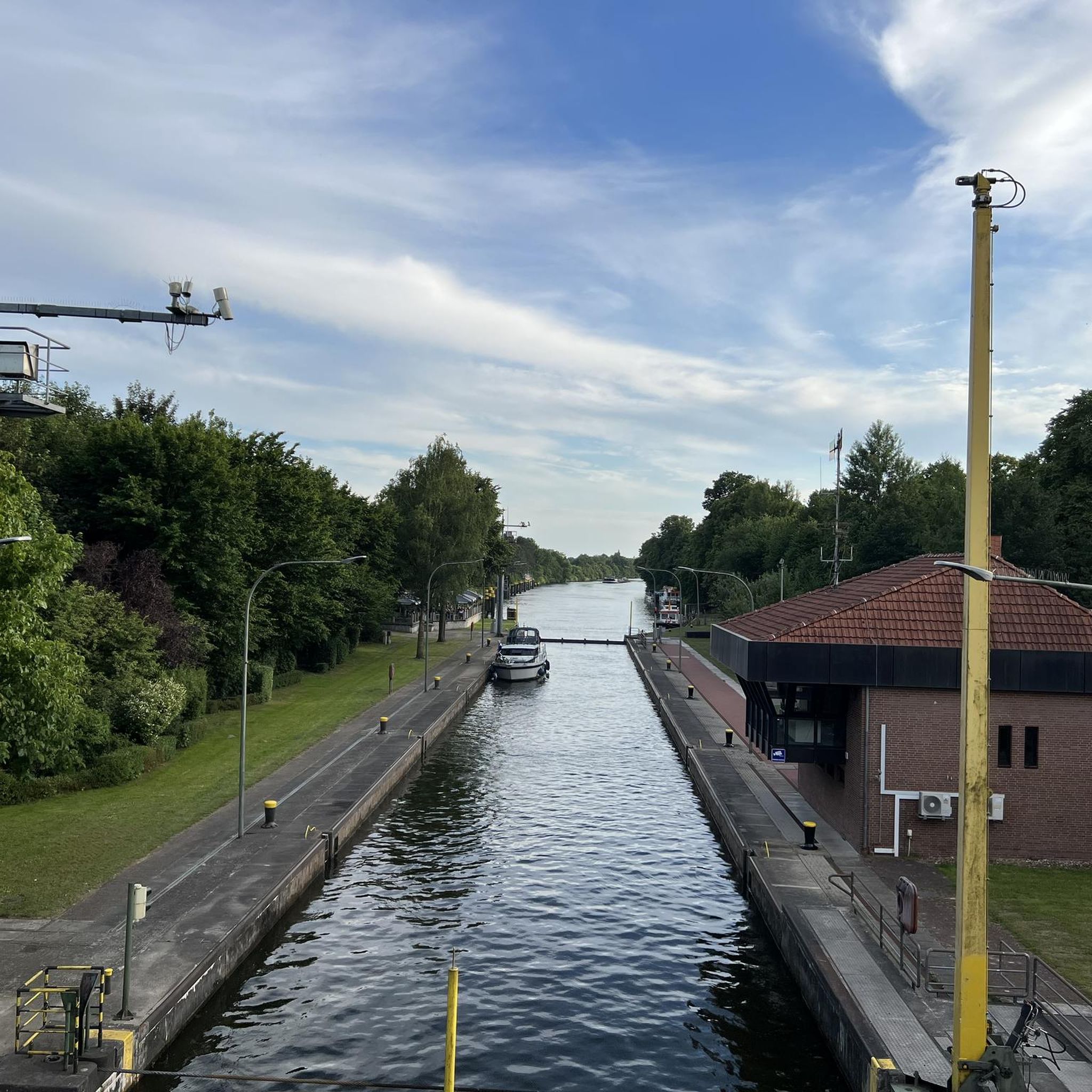
Please note that this ferry only operates at certain times of the year.
0
0

I really enjoyed this ride. I’m 46, I did it on a 40 year old road bike, it’s more suited to a cyclocross bike!
1
0

Built in the 11th and 12th centuries, this church, listed as a historic monument in 1912, is a spectacular work of art. Well worth the drive past when crossing town!
0
0
Frequently Asked Questions
How many mountain bike trails are available around Saint-Seurin-De-Palenne?
There are over 30 mountain bike trails available around Saint-Seurin-De-Palenne. These routes offer a variety of experiences, from easy loops to more challenging moderate rides, catering to different skill levels.
What kind of terrain can I expect on mountain bike trails near Saint-Seurin-De-Palenne?
The terrain around Saint-Seurin-De-Palenne is quite varied, featuring a pastoral setting with valleys shaped by agriculture and viticulture, as well as verdant forests. You'll encounter natural undulations and diverse surfaces, including areas of "terre de groie" and Quaternary alluvial terraces. The proximity to significant forested areas like the Forêt de Pons means many trails wind through woodlands.
What are the difficulty levels of mountain bike trails in the area?
The mountain bike trails around Saint-Seurin-De-Palenne offer a good mix of difficulty levels. You'll find a significant number of easy routes, with 18 out of 34 trails classified as easy. The remaining 16 trails are moderate, providing a bit more challenge. There are no difficult trails listed in this guide, making it suitable for a wide range of riders.
Are there any family-friendly mountain bike trails near Saint-Seurin-De-Palenne?
Yes, the area offers several family-friendly options, particularly among the easy trails. A great choice for a gentler ride is La Roche Madame Cave loop from Saint-Léger, which is an easy 4.7 miles (7.5 km) path, perfect for a shorter outing with less elevation gain.
What do other mountain bikers enjoy the most about mountain biking in Saint-Seurin-De-Palenne?
The mountain bike routes in Saint-Seurin-De-Palenne are highly rated by the komoot community, with an average score of 4.5 stars from over 60 reviews. Riders often praise the varied terrain, the scenic agricultural valleys, vineyards, and dense woodlands that define the area. The diverse network of trails, suitable for different ability levels, is also a frequently appreciated aspect.
Are there any notable landmarks or attractions I can see along the mountain bike trails?
Yes, several routes pass by interesting landmarks. For instance, the Donjon de Pons – Climbing spots loop from Pons takes you near the historic Pons Donjon. Other attractions in the vicinity include the Saint-Vivien Church of Pons and the Port of the Lys.
Are there mountain bike trails that form a loop near Saint-Seurin-De-Palenne?
Many of the mountain bike trails in the area are designed as loops, offering convenient starting and ending points. Examples include the popular Forêt de Pons loop from Saint-Léger, which takes you through the scenic forest, and the shorter La Roche Madame Cave loop from Saint-Léger.
What is the best time of year for mountain biking in Saint-Seurin-De-Palenne?
The region's pastoral setting and forests make it enjoyable for mountain biking across multiple seasons. Spring and autumn generally offer pleasant temperatures and vibrant scenery. While specific winter conditions aren't detailed, the varied terrain suggests that trails could be ridden year-round, though some paths might be muddier after rain.
Is there parking available near the mountain bike trailheads?
While specific parking details for every trailhead are not provided, towns like Pons and Saint-Léger, which serve as common starting points for many routes, typically offer public parking facilities. For example, routes like Donjon de Pons – Climbing spots loop from Pons start from Pons, where parking options are generally available.
Are there any longer mountain bike routes for experienced riders?
Yes, for those looking for a longer ride, the Donjon de Pons – Climbing spots loop from Pons is a moderate 26.4 miles (42.4 km) trail that takes approximately 3 hours and 10 minutes to complete, exploring varied terrain near Pons.
Can I find mountain bike trails that go through forests?
Absolutely. Saint-Seurin-De-Palenne is close to significant forested areas, including the Forêt de Pons. Many trails, such as the Forêt de Pons loop from Saint-Léger, lead directly through these verdant woodlands, offering shaded paths and a natural environment for your ride.
Are there any easy mountain bike trails suitable for beginners?
Yes, beginners will find several easy trails to enjoy. A good starting point is the La Roche Madame Cave loop from Saint-Léger, which is an easy 4.7 miles (7.5 km) route with minimal elevation gain, perfect for those new to mountain biking or looking for a relaxed ride.
Most popular routes around Saint-Seurin-De-Palenne
Most popular attractions around Saint-Seurin-De-Palenne

Get inspired with the komoot mobile app


Explore more
Browse the best MTB trails in other regions.
