The best walks and hikes around Saint-Martin-De-Saint-Maixent
4.5
(174)
873
hikers
120
hikes
Hiking trails around Saint-Martin-De-Saint-Maixent traverse a landscape characterized by limestone cliffs, dense woodlands, and the Sèvre Niortaise River. The region features a blend of natural beauty and historical elements, offering diverse routes. Geological features, including a fault line and streams like the Rochetan, contribute to varied terrain. This area provides engaging hiking opportunities across different fitness levels.
Best hiking trails around Saint-Martin-De-Saint-Maixent
- The most popular hiking route is Le Puits d'Enfer loop from Saint-Maixent-l'École, a 4.8 miles (7.7 km)…
Last updated: July 11, 2026
4.0
(2)
11
hikers
7.61km
02:03
90m
90m
Moderate hike. Good fitness required. Easily-accessible paths. Suitable for all skill levels.
3.5
(2)
35
hikers
3.88km
01:01
30m
30m
Easy hike. Great for any fitness level. Easily-accessible paths. Suitable for all skill levels.

Sign up for free
4
hikers
13.5km
03:39
180m
180m
Moderate hike. Good fitness required. Easily-accessible paths. Suitable for all skill levels.
4.0
(1)
3
hikers
3.37km
00:53
20m
30m
Easy hike. Great for any fitness level. Easily-accessible paths. Suitable for all skill levels.
6
hikers
2.07km
00:35
40m
40m
Easy hike. Great for any fitness level. Easily-accessible paths. Suitable for all skill levels.
Get access to more routes and recommendations from other explorers.
Sign up for free
Already have an account?
Our route recommendations are based on thousands of hikes, rides, and runs completed by other people on komoot.
Start today with a free account
Your next adventure awaits.
Login or Signup




Tips from the Community

Attention! Following a fire on July 8, 2026, the site will certainly be closed this weekend.
0
0

A natural gem to discover! The Puits d’Enfer (Hell's Well) is an impressive site, ideal for a refreshing walk in the heart of nature. The scenery is magnificent, with limestone cliffs and lush vegetation. The trail is well-maintained and accessible, perfect for an outing with family or friends. A must-see if you're in the area!
0
0

Very nice walk in the forest with a path impassable for strollers or bicycles: lots of roots on the ground and rocks. A great tour in the forest!
0
0

There are even more pictures of this in the corresponding hiking highlight, see => https://www.komoot.com/de-de/highlight/3144698
0
0

The Touche Poupard dam is a powerful construction. From the road that runs through it, you can admire the view of the lake and the steep drop off on the other side.
4
0
In this unique wood with a stream and its many waterfalls, a Tèrra Aventura route will allow you to enjoy running in a fun and educational way.
2
0
In this unique wood with a stream and its many waterfalls, a Tèrra Aventura trail will allow you to enjoy this walk in a fun and educational way.
4
0

City to discover. I used to walk through it without stopping, that was a mistake. A city marked by a true history and a past. https://www.saint-maixent-lecole.fr/presentation-de-la-ville/tourisme/histoire
0
0
Frequently Asked Questions
How many hiking trails are available in Saint-Martin-De-Saint-Maixent?
There are over 120 hiking trails around Saint-Martin-De-Saint-Maixent, offering a wide range of options for different preferences and skill levels. These routes traverse diverse landscapes, from river valleys to dense woodlands.
Are there easy hiking trails suitable for beginners or families?
Yes, Saint-Martin-De-Saint-Maixent offers nearly 50 easy hiking trails, perfect for beginners or families. These paths often feature gentle terrain and are suitable for a relaxed outing. An example is the Saint-Maixent-l'École (79) loop from Saint-Maixent-l'École, which is an easy 3.6 km route.
Can I find circular hiking routes in the area?
Many of the hiking routes in Saint-Martin-De-Saint-Maixent are circular, allowing you to start and end at the same point. For instance, the popular Le Puits d'Enfer loop from Saint-Maixent-l'École and the scenic La Touche Poupard Dam loop from Saint-Maixent-l'École are both circular trails.
Are dogs allowed on the hiking trails in Saint-Martin-De-Saint-Maixent?
Generally, dogs are welcome on hiking trails in the Saint-Martin-De-Saint-Maixent region. However, it's always advisable to keep them on a leash, especially in nature reserves or areas with livestock, to protect local wildlife and ensure a pleasant experience for all hikers.
What natural attractions can I discover while hiking?
The region is rich in natural beauty. You can explore impressive limestone cliffs and lush vegetation at Le Puits d'Enfer, or enjoy picturesque waterside landscapes along the Sèvre Niortaise River and Rochetan stream. The La Touche Poupard Dam also offers scenic views of the lake.
Are there historical or cultural points of interest along the trails?
Yes, the area's history is woven into its landscapes. Many hiking paths will lead you past traditional washhouses, mills, bridges, and fountains. A notable historical feature is the Pont de Pallu, a 50-meter footbridge made of flat limestone slabs on a Roman road, spanning the Sèvre Niortaise.
What are the typical lengths and durations of hikes in Saint-Martin-De-Saint-Maixent?
Hikes in the region vary significantly in length and duration. You can find shorter, easy routes like the Hiking loop from Saint-Maixent-l'École, which is about 3.4 km and takes just over an hour. Longer, moderate trails, such as the La Touche Poupard Dam loop, can be around 13.5 km and take over 3.5 hours.
Is public transport available to reach hiking trailheads?
While Saint-Martin-De-Saint-Maixent is primarily accessed by car, local public transport options might be limited for direct access to all trailheads. It's recommended to check local bus schedules or consider driving to the starting points of your chosen hikes.
Are there designated parking areas for hikers?
Many popular trailheads, especially those starting from towns like Saint-Maixent-l'École, typically have parking available. For specific routes, it's advisable to check the route details on komoot for information on parking facilities near the starting point.
What do other hikers say about the trails in Saint-Martin-De-Saint-Maixent?
The hiking trails in Saint-Martin-De-Saint-Maixent are highly rated by the komoot community, with an average score of 4.5 stars from over 170 reviews. Hikers often praise the diverse landscapes, the tranquility of the woodlands, and the well-maintained paths that make exploring the region enjoyable.
When is the best time of year to go hiking in this region?
The spring and autumn months generally offer the most pleasant hiking conditions in Saint-Martin-De-Saint-Maixent, with mild temperatures and beautiful natural scenery. Summer can also be enjoyable, especially for shaded forest walks, but be mindful of warmer temperatures. Winter hiking is possible, though some paths might be muddy.
Are there any specific geological features to look out for on hikes?
Yes, the region is known for its geological diversity. A significant geological fault runs from Saint-Maixent to Lezay, separating the Mellois plateau from a collapse ditch where the Sèvre Niortaise flows. This can be observed on certain circuits, such as 'Les six fontaines de Savrelle', offering unique insights into the area's natural formation.
What kind of landscapes can I expect to see on the trails?
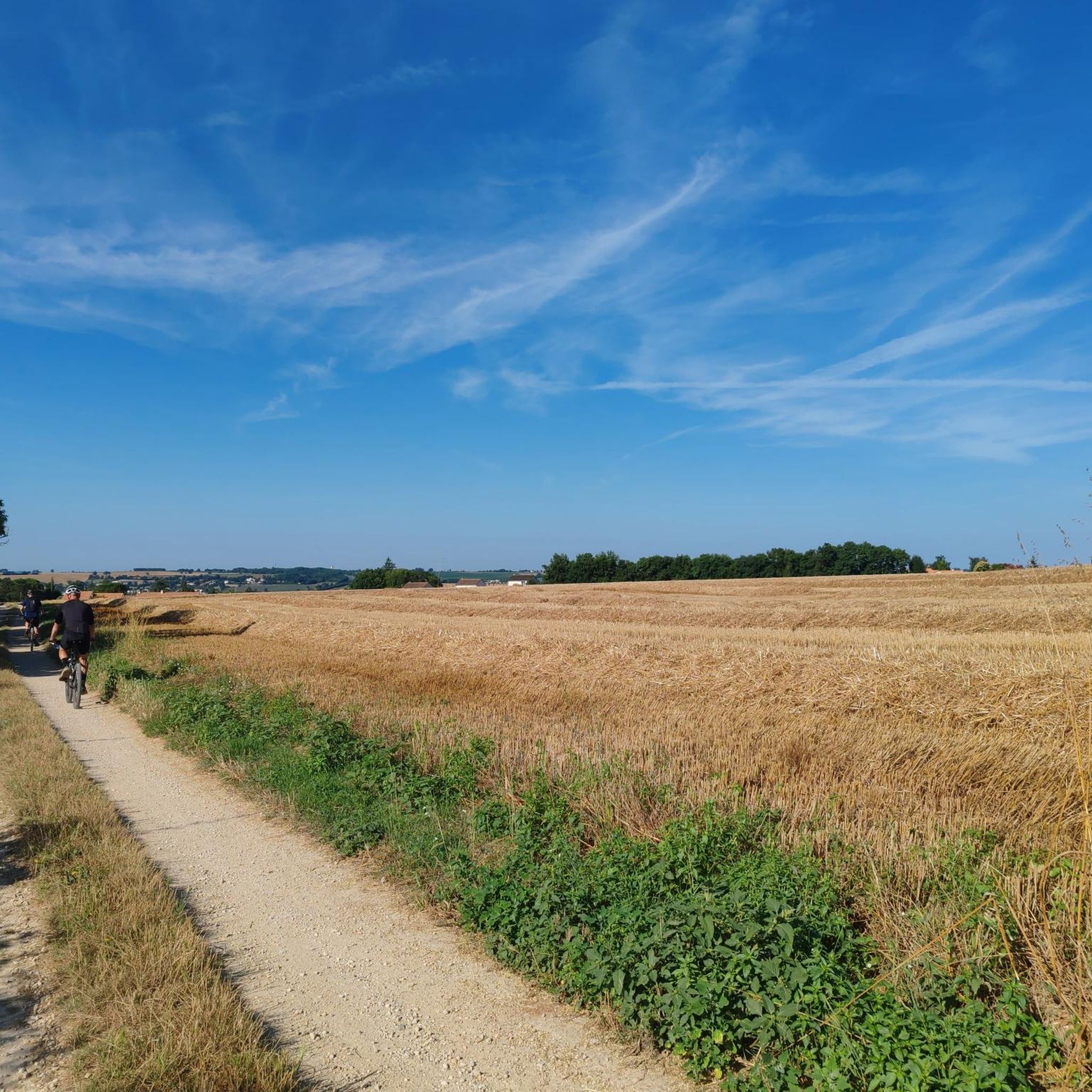
The trails around Saint-Martin-De-Saint-Maixent offer a varied landscape. You can expect to see limestone cliffs, dense woodlands, picturesque river valleys along the Sèvre Niortaise, and streams like the Rochetan. The area also features open countryside and views of the La Touche Poupard Dam and its lake.
Most popular routes around Saint-Martin-De-Saint-Maixent
Most popular attractions around Saint-Martin-De-Saint-Maixent

Get inspired with the komoot mobile app


Explore more
Browse the best Hikes in other regions.
