The best running trails around Mournans-Charbonny
4.5
(39)
1,380
runners
137
runs
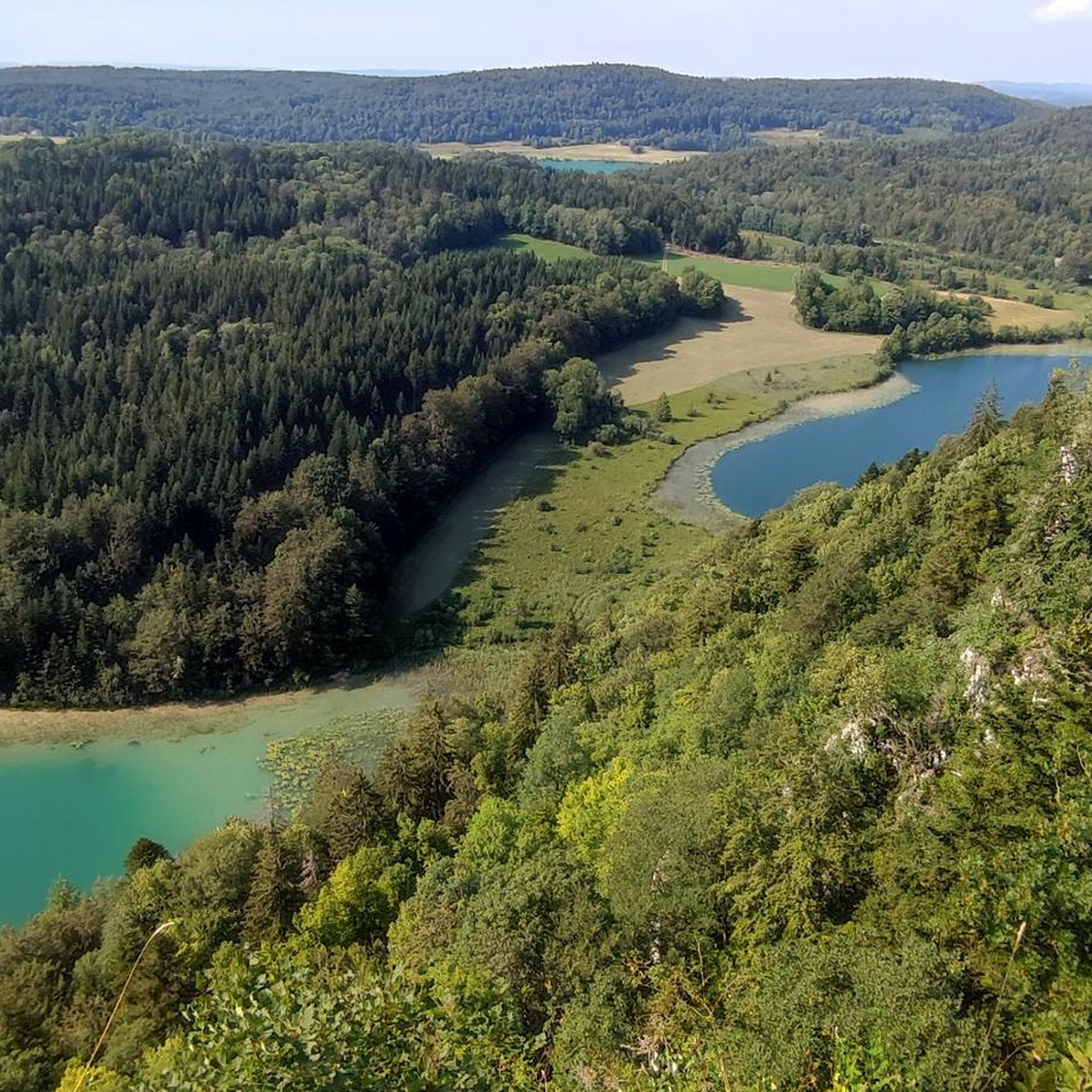
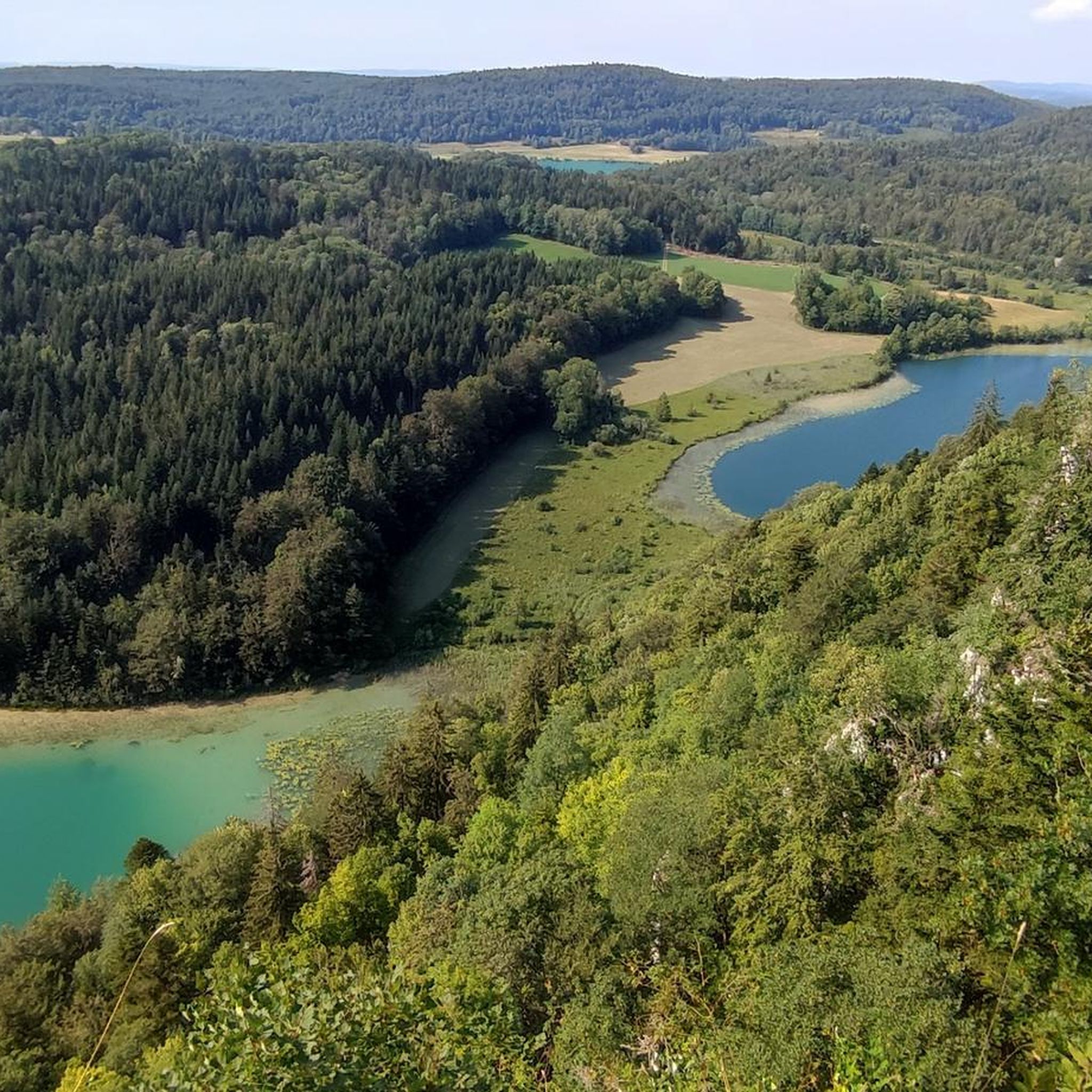
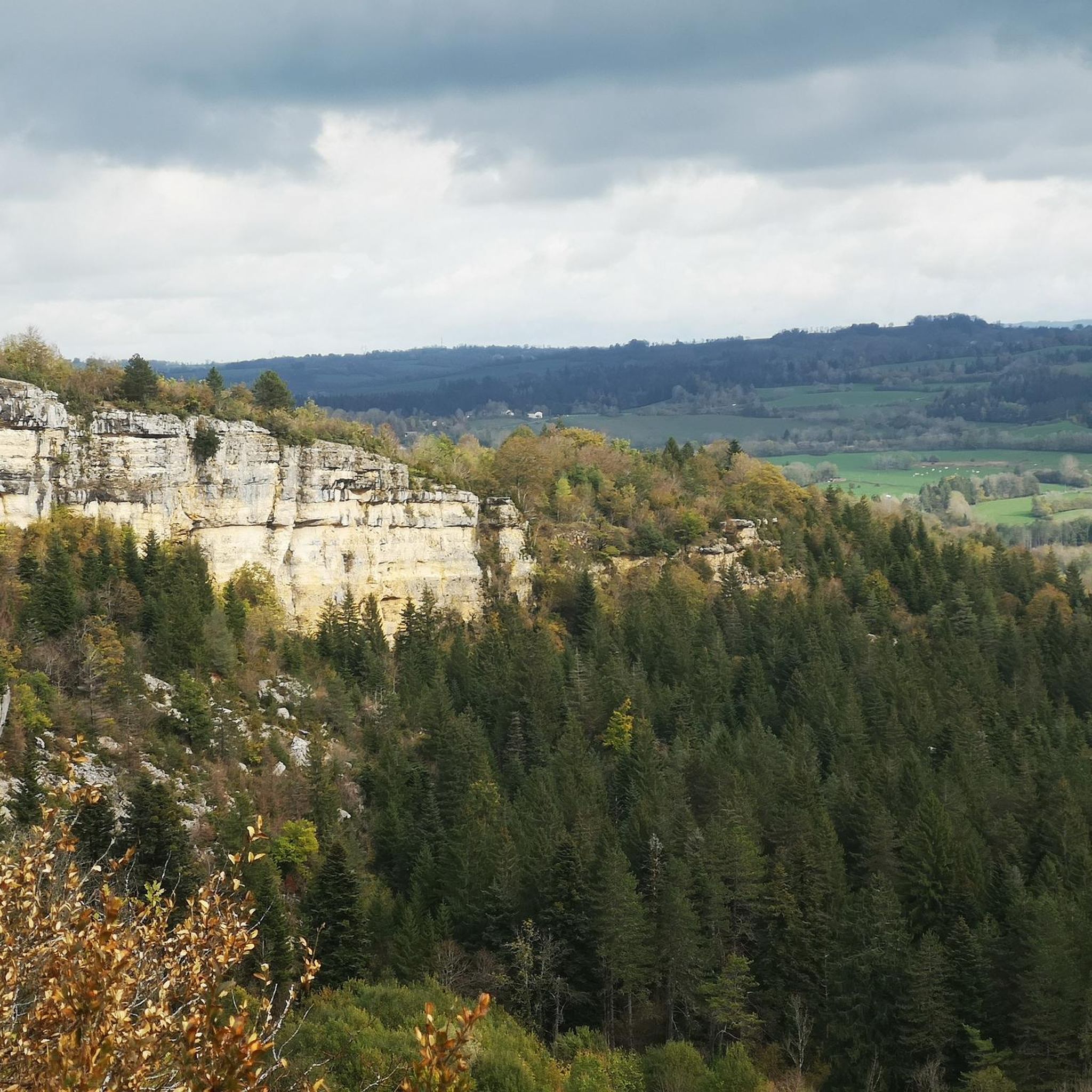
Jogging routes around Mournans-Charbonny offer access to the diverse landscapes of the Jura Mountains in Burgundy-Franche-Comté. The region features extensive trail networks through dense forests, alongside numerous lakes, and past dramatic waterfalls and gorges. This mid-mountain terrain provides varied elevations and technical trails suitable for different running preferences.
Best jogging routes around Mournans-Charbonny
- The most popular jogging route is Maillys Falls loop from Doye, a 16.3 miles (26.2 km) difficult trail that takes 3 hours 18 minutes to complete.…
Last updated: July 6, 2026
23
runners
30.2km
03:45
750m
750m
Hard run. Very good fitness required. Mostly paved surfaces. Suitable for all skill levels.
5.0
(2)
12
runners
4.16km
00:32
100m
100m
Moderate run. Good fitness required. Mostly paved surfaces. Suitable for all skill levels.

Sign up for free
5.0
(1)
17
runners
15.5km
01:53
330m
330m
Hard run. Very good fitness required. Mostly paved surfaces. Suitable for all skill levels.
7
runners
14.3km
01:46
420m
420m
Hard run. Very good fitness required. Mostly paved surfaces. Suitable for all skill levels.
4
runners
4.71km
00:35
90m
100m
Easy run. Great for any fitness level. Mostly paved surfaces. Suitable for all skill levels.
Get access to more routes and recommendations from other explorers.
Sign up for free
Already have an account?
Our route recommendations are based on thousands of hikes, rides, and runs completed by other people on komoot.
Start today with a free account
Your next adventure awaits.
Login or Signup

Tips from the Community

The Serpentine, (first tributary of the Ain river whose source is located a little higher) forms a small lake near the ruins of a mill. It is from a cornice that this beautiful natural waterfall 15 meters high comes to life when the water level is sufficient.
1
0

This city in the Middle Ages was a highly strategic place. For more than 300 years, from the 13th to the 16th century, its inhabitants controlled the commercial exploitation of salt by establishing rights of passage for merchants who went to Switzerland. So you will find in its center many beautiful period houses, irrefutable testimonies of this ancient wealth. The castle of the princes of Oranges was destroyed, and did not stand the test of time.
0
0

Very impressive, about 1 km walk from the parking lot nearby, swimming not possible and not recommended
0
0

Ain Falls
0
0

At the source of the Ain, you will find footbridges and interpretation panels to help you navigate and understand the site. A beautiful and relaxing place to take a break from your run.
2
0
From a small lake at the level of the mill, the river continues before cascading over a 15 meter high ledge. An amazing waterfall.
3
0
This city in the Middle Ages was a highly strategic place. For more than 300 years, from the 13th to the 16th century, its inhabitants controlled the commercial exploitation of salt by establishing rights of passage for merchants who went to Switzerland. So you will find in its center many beautiful period houses, irrefutable testimonies of this ancient wealth. The castle of the princes of Oranges was destroyed, and did not stand the test of time.
2
0
Frequently Asked Questions
How many running routes are available around Mournans-Charbonny?
There are over 130 running routes around Mournans-Charbonny, offering a wide variety of options for joggers of all levels. These routes explore the diverse landscapes of the Jura Mountains, from dense forests to picturesque lakesides.
What kind of terrain can I expect on the jogging trails in Mournans-Charbonny?
The terrain around Mournans-Charbonny is characteristic of the Jura Mountains, featuring mid-mountain contours. You'll find a mix of dense woodlands, rolling hills, and varied elevations. Many routes traverse established trail networks, providing both serene forest paths and more technical sections.
Are there any easy or beginner-friendly running routes in the area?
Yes, Mournans-Charbonny offers several easy running routes perfect for beginners or those seeking a relaxed jog. For example, the Running loop from Sapois is an easy 2.9-mile (4.7 km) trail through woodlands, typically completed in about 35 minutes.
Can I find challenging long-distance running trails near Mournans-Charbonny?
Absolutely. For experienced runners looking for a challenge, there are difficult routes with significant elevation gain. The Maillys Falls loop from Doye is a difficult 16.3-mile (26.2 km) trail with substantial elevation changes, taking around 3 hours 18 minutes to complete. Another challenging option is The Source of the Ain – Maillys Falls loop from Nozeroy, covering 15.8 miles (25.5 km).
Are there running routes that feature waterfalls or scenic natural monuments?
Yes, the region is known for its dramatic waterfalls and natural beauty. You can explore routes that pass by stunning features like the Moulin du Saut Waterfall and the Maillys Falls. The Moulin du Saut Waterfall – Waterfall at the Source of the Ain loop from Doye is a moderate 2.7-mile (4.3 km) path specifically designed to explore scenic waterfalls and river landscapes.
What do other runners say about the trails in Mournans-Charbonny?
The running routes around Mournans-Charbonny are highly regarded by the komoot community, with an average rating of 4.3 stars from over 30 reviews. More than 1300 runners have explored these trails, often praising the diverse terrain, the beauty of the forests and lakes, and the well-maintained paths.
Are there any circular running routes available?
Many of the running routes in Mournans-Charbonny are designed as loops, allowing you to start and finish at the same point. Examples include the Running loop from Sapois and the Roches de Nans – Grotte de la Doye loop from Onglières, which is a difficult 8.9-mile (14.3 km) option.
Can I bring my dog on the running trails?
While specific rules for every trail vary, generally, the natural areas of the Jura Mountains are dog-friendly. It's always recommended to keep your dog on a leash, especially in protected areas or near wildlife, and to clean up after them. Check local signage for any specific restrictions on individual routes.
What are the best seasons for running in Mournans-Charbonny?
The Jura Mountains offer excellent running conditions throughout much of the year. Spring and autumn provide pleasant temperatures and vibrant scenery, with lush greenery or colorful foliage. Summer is also popular, especially for routes that offer shade in the forests or along lakes. Winter running is possible, but trails may be snowy or icy, requiring appropriate gear.
Are there any historical or cultural landmarks to see while running?
Yes, the region blends natural beauty with historical intrigue. While running, you might encounter charming settlements like Nozeroy, or historical sites such as Syam Castle and Ironworks. Some routes also pass by unique features like the 'Grotte aux Ours' cave entrance, adding an extra layer of discovery to your run.
Is public transport available to access the running trails?
While specific public transport links directly to every trailhead might be limited, Mournans-Charbonny is situated within a region with established trail networks. For broader access to the Jura Mountains' extensive trail system, you might find regional bus services connecting larger towns. Planning your route in advance and checking local transport schedules is advisable.
Are there any permits required for running on these trails?
Generally, no specific permits are required for jogging on the marked trails in the Jura Mountains around Mournans-Charbonny. The region boasts well-maintained and accessible trail networks, including dedicated trail running areas like the Haut-Jura trail-running area, which features hundreds of kilometers of marked trails open to the public.
Most popular routes around Mournans-Charbonny
Most popular attractions around Mournans-Charbonny

Get inspired with the komoot mobile app


Explore more
Browse the best Running Trails & Routes in other regions.
