The best walks and hikes around Courcelles
4.7
(31)
205
hikers
34
hikes
Hiking around Courcelles, Belgium, offers diverse landscapes, including fields, woodlands, and paths along waterways. The region features varied terrain, from open vistas to sheltered forest trails. Unique former industrial sites, known as Terrils, provide elevated viewpoints and distinct hiking experiences. This blend of natural and semi-natural environments caters to different levels of challenge and visual interest.
Best hiking trails around Courcelles
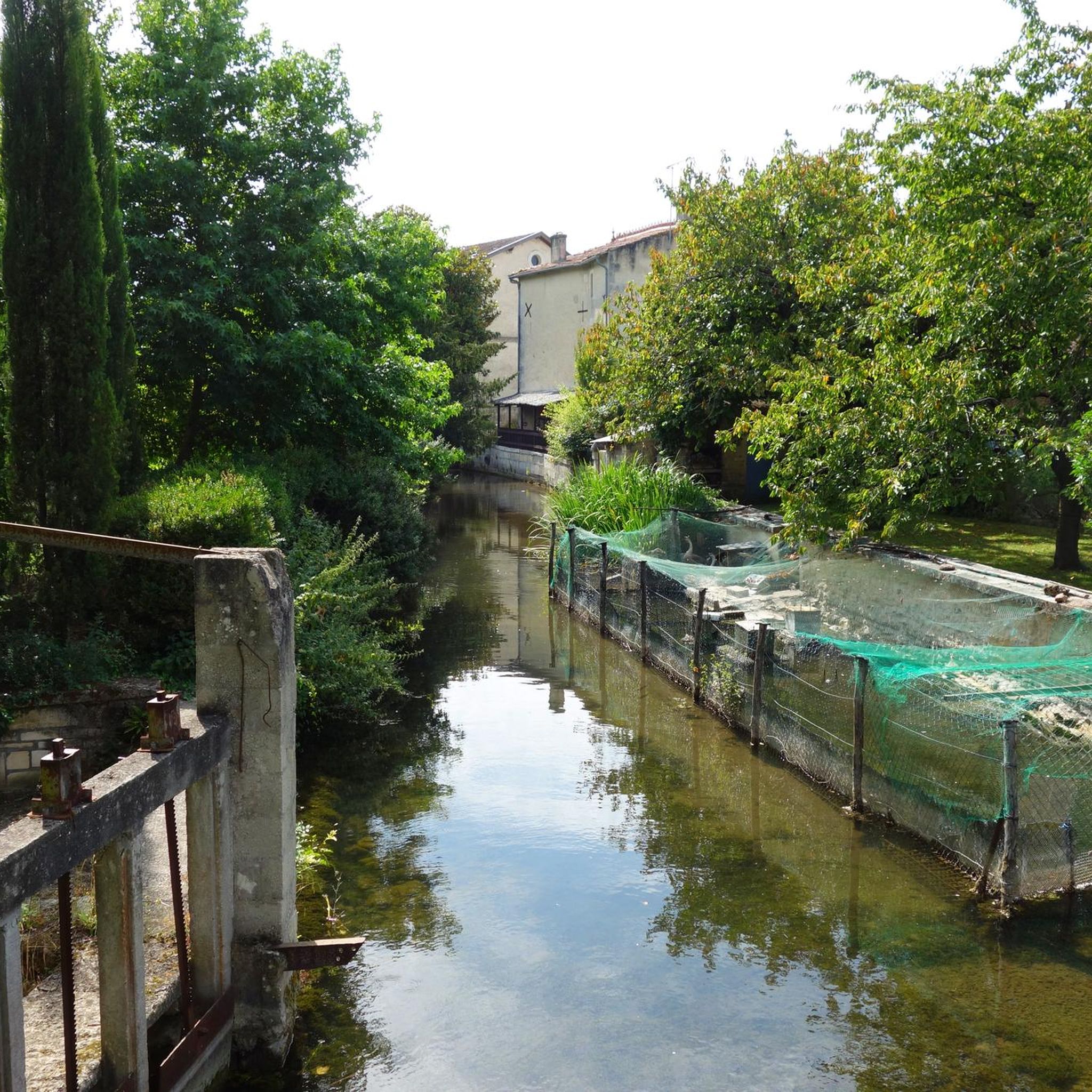
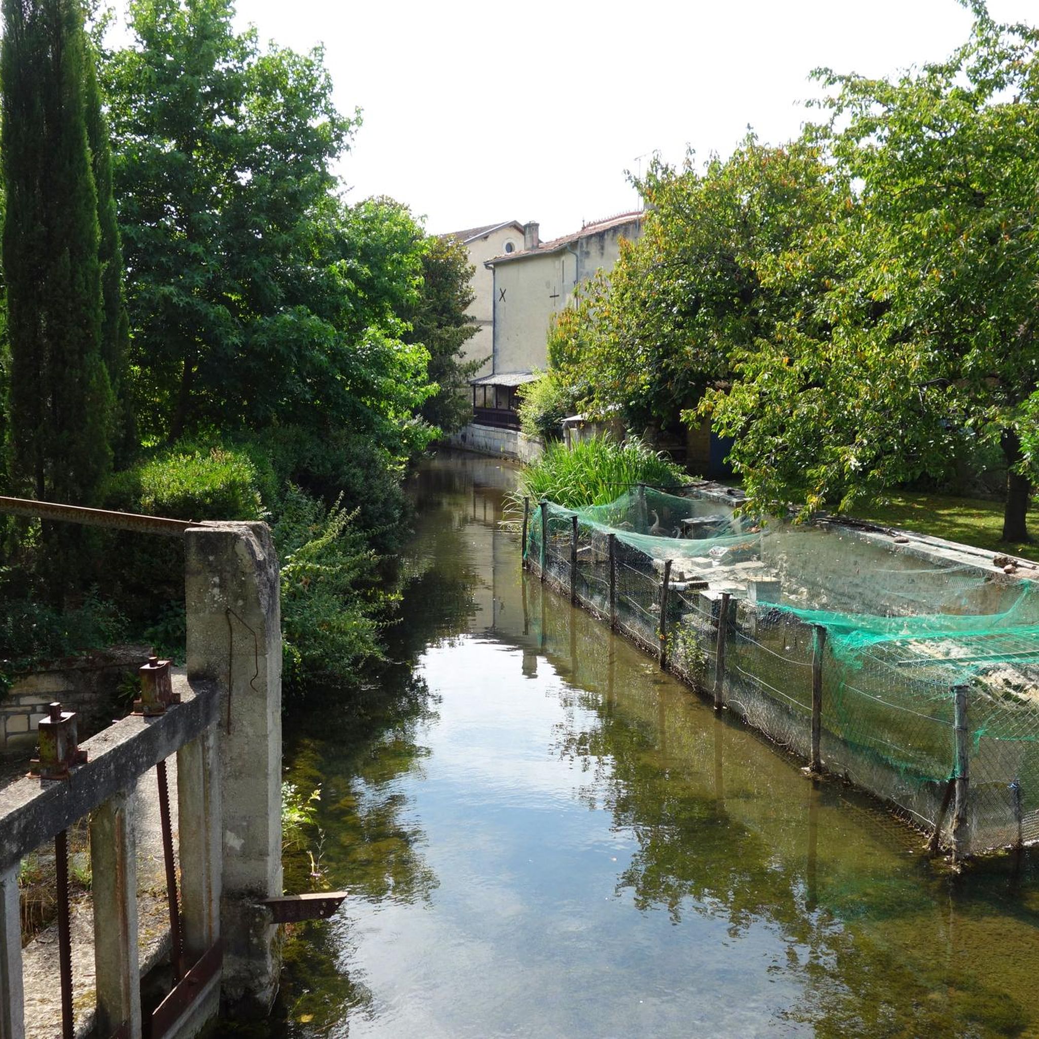
- The most popular hiking route is Campsite Val de Boutonne🏕️ – Bridge over the Boutonne🌉 loop from Saint-Jean-d'Angély, a 4.5 miles (7.2 km) trail that takes 1 hour 50 minutes to complete. This easy route follows the Boutonne river, offering pleasant riverside views.
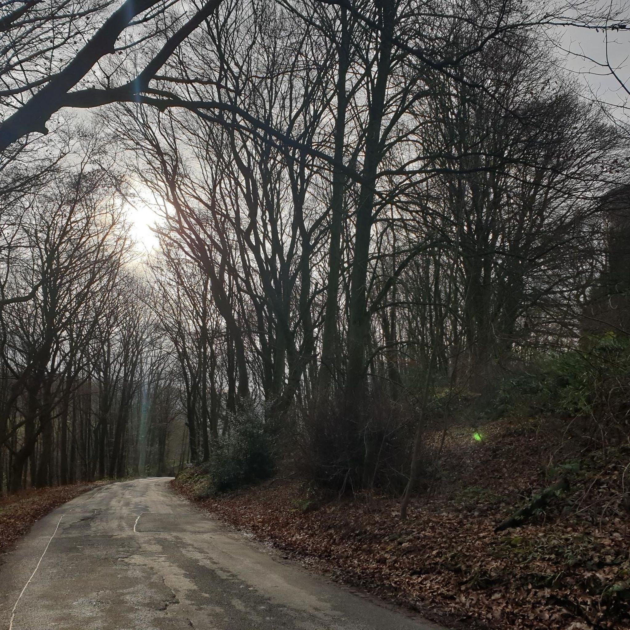
- Another top favourite among local hikers is Bois de Vervant loop from Poursay-Garnaud, an easy 4.8 miles (7.7 km) path. This route leads through the Bois de Vervant, providing a shaded woodland experience.
- Local hikers also love the La Boutonne loop from Saint-Jean-d'Angély, a 2.8 miles (4.5 km) trail leading through riverine landscapes, often completed in about 1 hour 8 minutes.
- Hiking around Courcelles is defined by a mix of open fields, dense woodlands, and paths along historical waterways. The network offers options for various ability levels, from easy walks to more challenging routes.
- The routes in Courcelles are highly rated by the komoot community with an average score of 4.5 stars from over 20 reviews. More than 140 hikers have used komoot to explore Courcelles's varied terrain.
Last updated: October 19, 2026
5.0
(1)
40
hikers
4.48km
01:10
30m
30m
Easy hike. Great for any fitness level. Easily-accessible paths. Suitable for all skill levels.
4.5
(4)
22
hikers
Easy hike. Great for any fitness level. Easily-accessible paths. Suitable for all skill levels.

7
hikers
Moderate hike. Good fitness required. Easily-accessible paths. Suitable for all skill levels.
5
hikers
7.73km
01:58
20m
20m
Easy hike. Great for any fitness level. Easily-accessible paths. Suitable for all skill levels.
4.5
(2)
14
hikers
Easy hike. Great for any fitness level. Easily-accessible paths. Suitable for all skill levels.
Get access to more routes and recommendations from other explorers.
Already have an account?
Our route recommendations are based on thousands of hikes, rides, and runs completed by other people on komoot.
Start today with a free account
Your next adventure awaits.
Popular around Courcelles
Tips from the Community

Beautiful campsite with trees and large pitches
0
0
Beautiful bridge, but relatively steep.
0
0
Here a road, cycle path and footpath runs along the Boutonne
0
0
It's 1.3km all the way around. Very beautiful here.
0
0

The former monastery has existed since the 14th century, parts of it since the 17th century. The building is very worn and no longer completely intact, but still worth seeing!
0
0

super nice campsite to cycle from.
0
0
Frequently Asked Questions
How many hiking trails are available around Courcelles?
There are over 20 hiking routes around Courcelles, offering a diverse range of experiences. Most of these, about 17, are considered easy, making the area accessible for many hikers. There are also 5 moderate and 1 difficult route for those seeking more of a challenge.
What kind of terrain can I expect on hikes near Courcelles?
Hiking routes around Courcelles feature a varied landscape, including open fields, country roads, and shaded woodlands. You'll also find unique reclaimed industrial mounds known as 'Terrils' which offer elevated viewpoints, and paths along historical waterways like the Charleroi-Brussels canal. This diversity provides a changing scenic experience from open vistas to secluded forest paths.
Are there any family-friendly hiking options in Courcelles?
Yes, Courcelles offers many easy routes suitable for families. For instance, the La Boutonne loop from Saint-Jean-d'Angély is a gentle 2.8-mile trail through riverine landscapes, perfect for a leisurely family walk. The region's flat towpaths along canals also provide easy, accessible options.
Can I bring my dog on the hiking trails around Courcelles?
Many trails around Courcelles are suitable for dogs, especially those through fields and woodlands. It's always recommended to keep your dog on a leash, especially when passing through agricultural areas or near wildlife. Always check local signage for specific restrictions on individual routes.
Are there any circular hiking routes in Courcelles?
Yes, many of the trails around Courcelles are circular, allowing you to start and end at the same point. An example is the Bois de Vervant loop from Poursay-Garnaud, an easy 4.8-mile path that takes you through a shaded woodland. Another option is the Hiking loop from Saint-Jean-d'Angély, which is 4.3 miles long.
What are some interesting landmarks or viewpoints I can see while hiking?
The region offers several points of interest. The 'Terrils' (former slag heaps) provide unique elevated viewpoints with panoramic views. For historical and architectural interest, consider visiting the Saint-Pierre Church of Aulnay or the Ruins of the Former Abbey of Saint-Jean-Baptiste. The Rennebourg Estate also offers a glimpse into local heritage.
What do other hikers enjoy most about hiking in Courcelles?
The area is highly rated by the komoot community, with an average score of 4.5 stars from over 20 reviews. Hikers often praise the diverse landscapes, from quiet woodlands to open fields and unique industrial heritage sites, as well as the accessibility of trails for various fitness levels.
Are there any routes that follow waterways or canals?
Yes, the region's history is closely tied to its waterways. You can find pleasant routes along old canals, such as the Charleroi-Brussels canal, and towpaths. The Campsite Val de Boutonne🏕️ – Bridge over the Boutonne🌉 loop from Saint-Jean-d'Angély is a 4.5-mile trail that follows the Boutonne river, offering pleasant riverside views.
Is there public transport access to the hiking areas around Courcelles?
While Courcelles is accessible by public transport, specific access points to trailheads may vary. It's advisable to check local bus or train schedules to nearby towns like Seneffe or Pont-à-Celles, which are often integrated into longer hiking loops, and plan your route accordingly.
What is the best time of year to go hiking in Courcelles?
Courcelles offers enjoyable hiking experiences throughout the year. Spring and autumn provide pleasant temperatures and beautiful scenery with blooming flowers or vibrant foliage. Summer is ideal for shaded woodland walks, while winter can offer crisp, quiet trails, though some paths might be muddy. Always check weather conditions before heading out.
Are there any nearby attractions or places to explore after a hike?
Absolutely! The La Fontanelle Wind Farm is an interesting modern landmark. Additionally, the nearby Château de Seneffe and its extensive parkland offer a beautiful setting for further walks, combining natural beauty with architectural history. The broader Wallonia region is also known for its picturesque villages and green spaces.
Most popular attractions around Courcelles

Get inspired with the komoot mobile app


Explore more
Browse the best Hikes in other regions.
