The best walks and hikes around Beimerstetten
4.4
(5123)
27,255
hikers
34
hikes
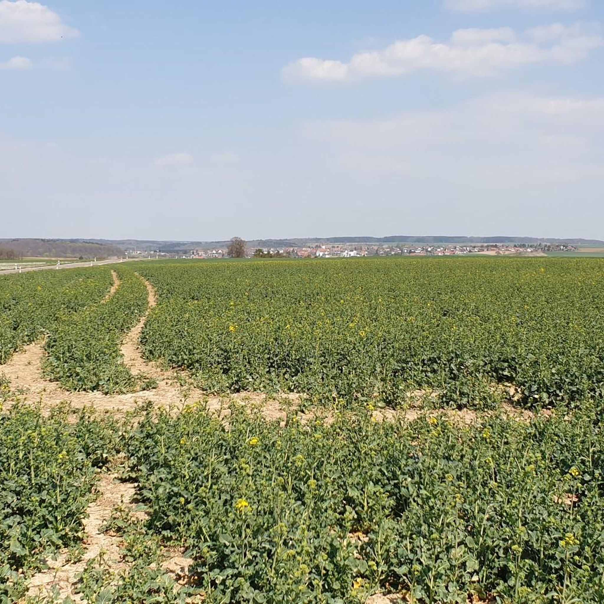
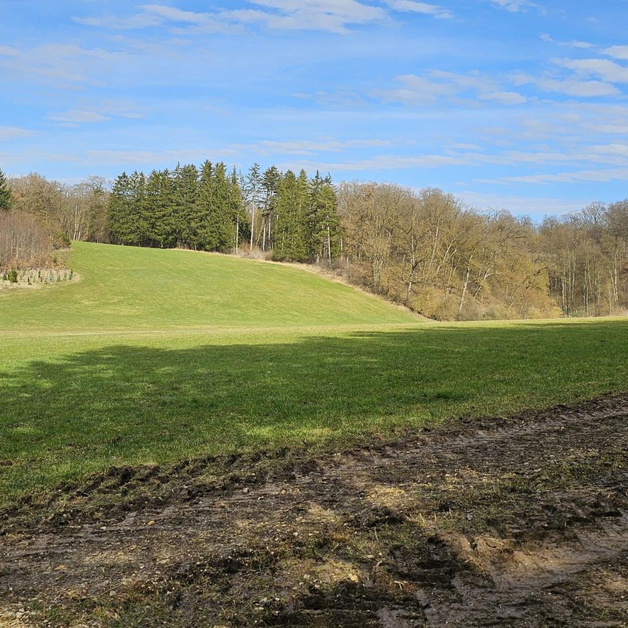
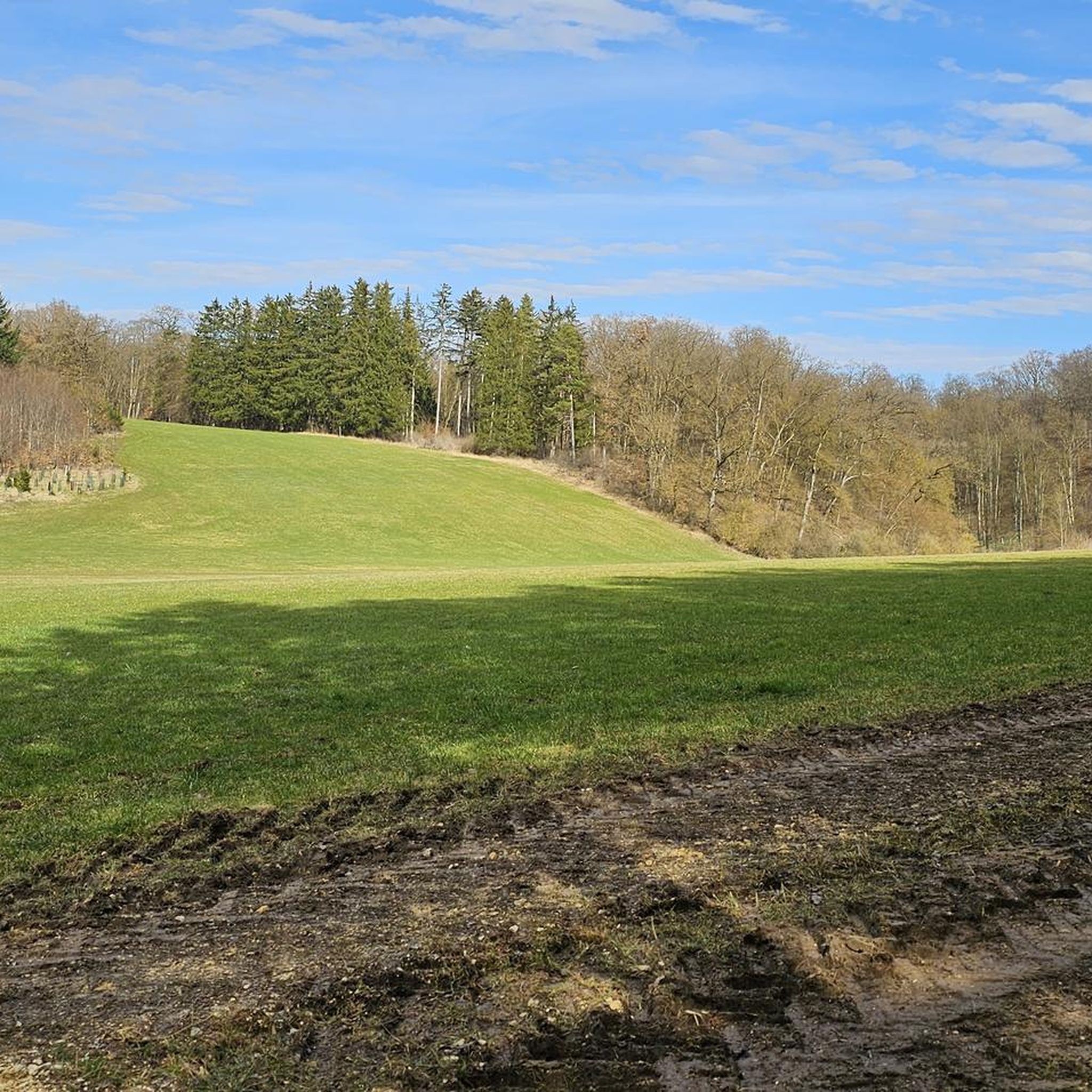
Hiking around Beimerstetten offers access to the diverse landscapes of the Swabian Alb, characterized by rolling hills, valleys, and forests. The region features a mix of open fields, meadows, and river landscapes, providing varied terrain for outdoor activities. Hikers can explore nature reserves such as the "Blaue Mühle" and Hagener Tobel, known for their flora and fauna. The area's geology includes cliffs and low mountain formations, contributing to a range of hiking experiences.
Best hiking trails around Beimerstetten
- The most popular hiking route is View of Hörvelsingen – Hagener Tobel loop from Beimerstetten, a 11.1 miles (17.8 km) trail that takes 4 hours 50 minutes to complete. This moderate route offers expansive views and leads through the Hagener Tobel.
- Another top favourite among local hikers is Hagener Tobel – View of Hörvelsingen loop from Beimerstetten, a moderate 5.9 miles (9.4 km) path. This trail also explores the Hagener Tobel, providing views towards Hörvelsingen.
- Local hikers also love the View of Tomerdingen – Wayside Cross at Dickhau loop from Beimerstetten, a 4.9 miles (7.9 km) trail leading through varied countryside, often completed in about 2 hours 3 minutes.
- Hiking around Beimerstetten is defined by rolling hills, diverse nature reserves, and the scenic Swabian Alb. The network offers options for different ability levels, from easy walks to moderate excursions.
- The routes in Beimerstetten are highly rated by the komoot community with an average score of 4.5 stars from over 1,300 reviews. More than 8,000 hikers have used komoot to explore Beimerstetten's varied terrain.
Last updated: October 8, 2026
4.7
(20)
70
hikers
17.8km
04:50
240m
240m
Moderate hike. Good fitness required. Easily-accessible paths. Suitable for all skill levels.
4.6
(14)
69
hikers
9.96km
02:43
150m
150m
Moderate hike. Good fitness required. Easily-accessible paths. Suitable for all skill levels.

5.0
(4)
37
hikers
Moderate hike. Good fitness required. Easily-accessible paths. Suitable for all skill levels.
4.3
(3)
10
hikers
6.81km
01:49
80m
80m
Easy hike. Great for any fitness level. Easily-accessible paths. Suitable for all skill levels.
5.0
(2)
16
hikers
4.20km
01:05
30m
30m
Easy hike. Great for any fitness level. Easily-accessible paths. Suitable for all skill levels.
Get access to more routes and recommendations from other explorers.
Already have an account?
Our route recommendations are based on thousands of hikes, rides, and runs completed by other people on komoot.
Start today with a free account
Your next adventure awaits.
Tips from the Community

Unfortunately no shade there, unbearable in the heat
0
0

Unfortunately the cattle were not to be seen today
0
0
Unfortunately, the brewery restaurant was closed during our visit, but we will be back.
0
0

Shady spot with a view
0
0
Shady spot with a view
0
0
meadow orchard with rest area and wild bee house
0
0
If you are lucky you can see "Highland 🦬
2
0
Beautiful hikes around Hörvelsingen
0
0
Frequently Asked Questions
How many hiking trails are available around Beimerstetten?
There are over 30 hiking trails around Beimerstetten, catering to various skill levels. You'll find a good mix, with 20 easy routes, 12 moderate options, and 2 more challenging trails to explore.
What kind of terrain can I expect on hikes in Beimerstetten?
The terrain around Beimerstetten is characterized by the rolling hills of the Swabian Alb, offering diverse landscapes. You'll encounter open fields, meadows, and forests, with paths along river landscapes like the Blau River. The area also features natural reserves, cliffs, and low mountain formations, providing varied hiking experiences.
Are there any easy, family-friendly hikes in Beimerstetten?
Yes, Beimerstetten offers several easy and family-friendly options. The region is known for its 'children's path' with engaging stations about local animals and geology, and the 'HochgehSWIGgert' family hike on the Swabian Alb. For a specific route, consider the Herrenfilde – Rooty Muddy Trail loop from Beimerstetten, an easy 5.2 km path.
What are some notable natural features or landmarks to see while hiking?
Beimerstetten is rich in natural beauty and historical sites. You can explore the tranquil Kiesental, the scenic Hagener Tobel, or the unique Start of the Kleine Lauter Valley. Further afield, the mesmerizing Blautopf spring in Blaubeuren and the UNESCO Ice Age Caves in the Swabian Alb offer fascinating geological insights.
Are there any circular hiking routes in Beimerstetten?
Yes, many of the trails around Beimerstetten are circular. A popular moderate option is the Hagener Tobel – View of Hörvelsingen loop from Beimerstetten, which covers 9.4 km. For a shorter, easy loop, try the Entrance to Hagener Tobel – Hagener Tobel loop from Beimerstetten, spanning 6.8 km.
What is the best time of year to go hiking in Beimerstetten?
Spring and autumn are particularly recommended seasons for hiking in Beimerstetten. The temperatures are pleasant, and the natural scenery is vibrant. In spring, the Hagener Tobel is especially beautiful with its snowflake blooms.
Can I bring my dog on the hiking trails?
While specific regulations for each trail vary, many hiking paths in the Beimerstetten region, especially those through natural landscapes and forests, are generally dog-friendly. It's always advisable to keep dogs on a leash, especially in nature reserves or near livestock, and to respect local signage.
What do other hikers say about the trails in Beimerstetten?
The hiking trails in Beimerstetten are highly rated by the komoot community, with an average score of 4.5 stars from over 4,300 reviews. Hikers often praise the diverse landscapes, well-maintained paths, and the beautiful views, particularly those found along routes like the View of Tomerdingen – Wayside Cross at Dickhau loop from Beimerstetten.
Are there any historical sites or cultural attractions near the hiking routes?
Beyond the natural trails, you can explore historical landmarks. The 13th-century Beimernstein Castle is nearby, and the renowned Wiblingen Monastery with its baroque library is also accessible. For urban exploration, the nearby city of Ulm offers the impressive Ulm Minster and the picturesque Fishermen's and Tanners' Quarter.
Are there any challenging hikes for experienced hikers?
While most trails are easy to moderate, there are 2 more difficult routes for experienced hikers seeking a challenge. The region's diverse geology, including gorges like the Teufelsschlucht, offers opportunities for more adventurous treks with dramatic scenery and impressive vistas.
What are some of the longer hiking options available?
For a longer excursion, consider the View of Hörvelsingen – Hagener Tobel loop from Beimerstetten. This moderate trail spans 17.8 km and typically takes around 4 hours and 50 minutes to complete, offering expansive views and a journey through the Hagener Tobel.
Most popular routes around Beimerstetten
Most popular attractions around Beimerstetten

Get inspired with the komoot mobile app


Explore more
Browse the best Hikes in other regions.
