The best road cycling routes around Groffliers
4.4
(162)
4,287
riders
206
rides
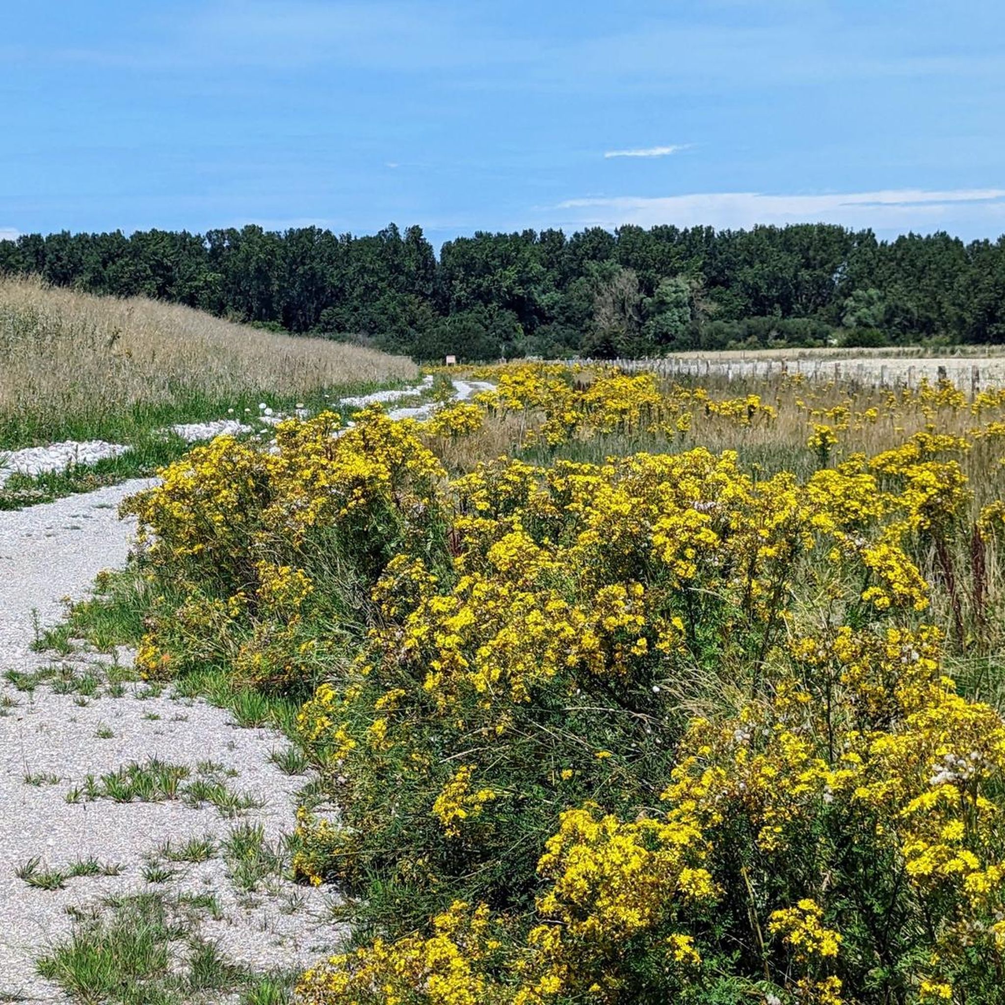
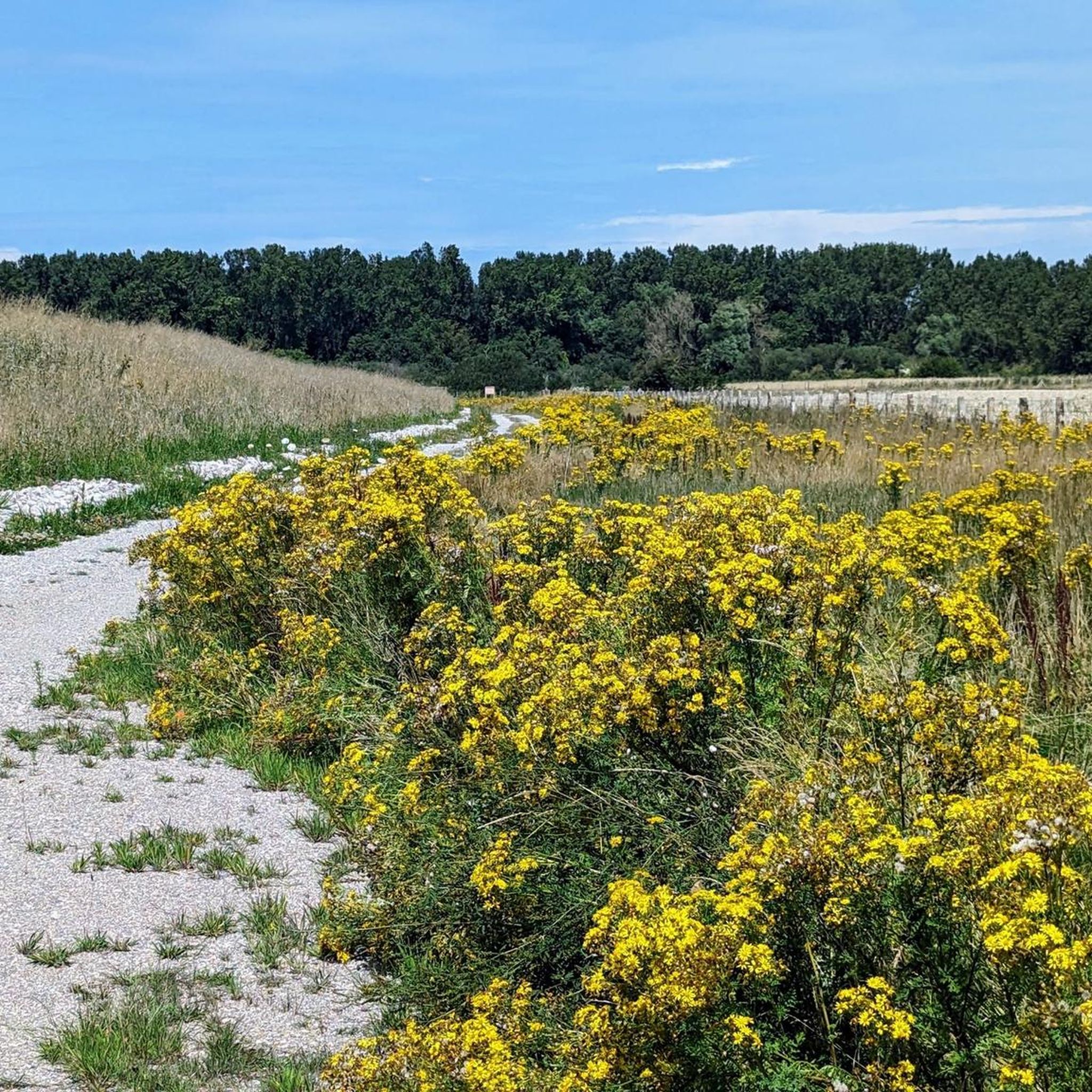
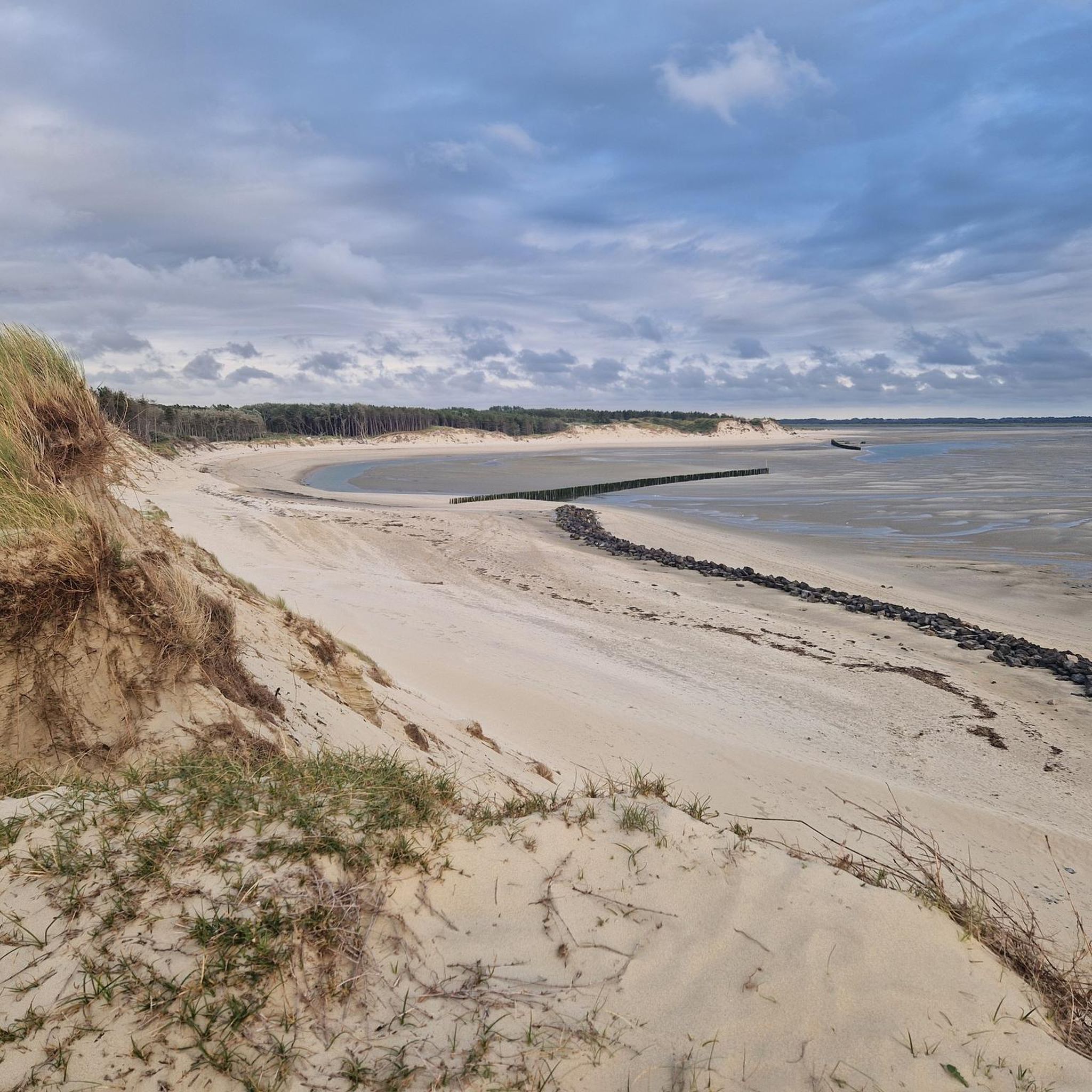
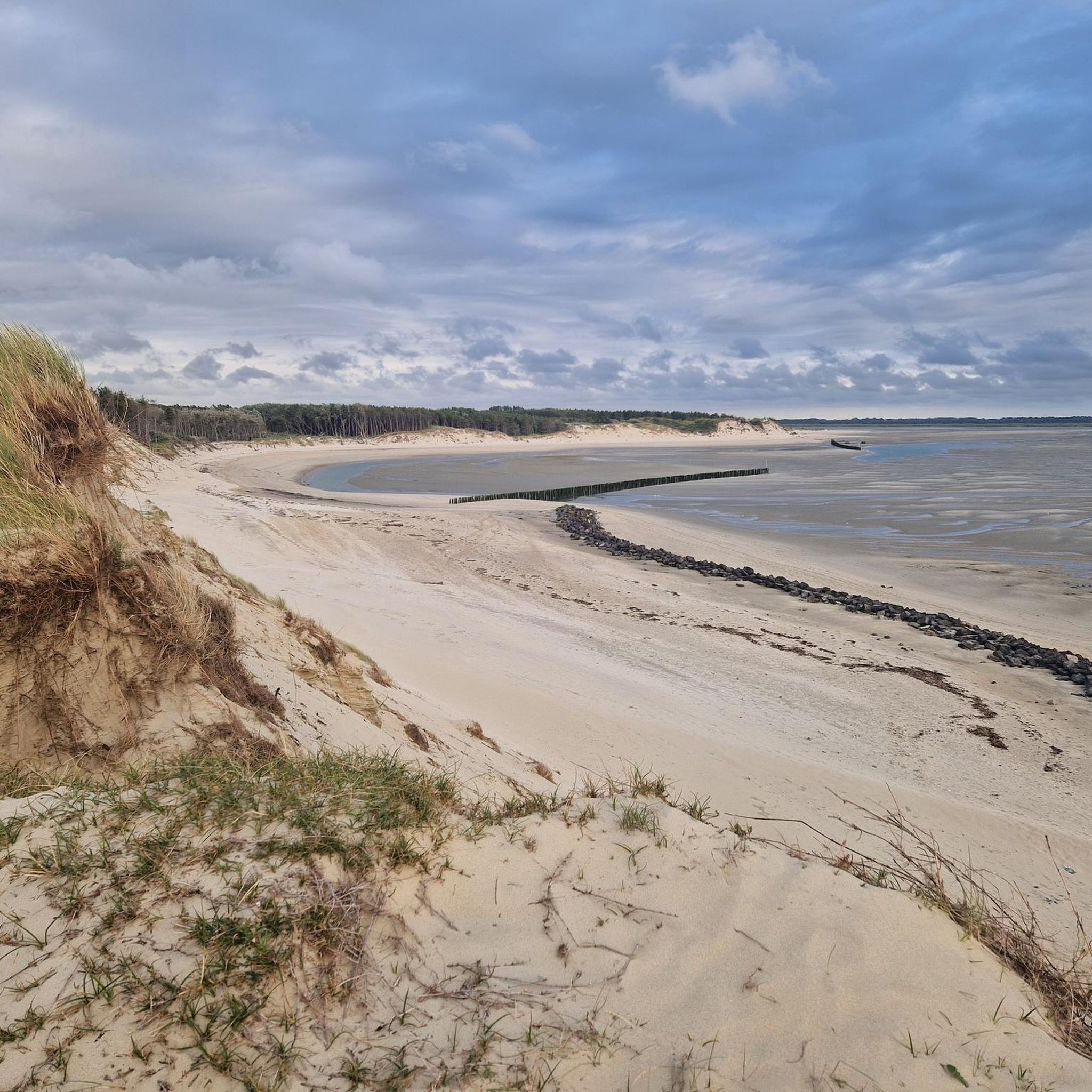
Road cycling routes around Groffliers offer diverse landscapes at the mouth of the Authie River on France's Côte d'Opale. The region features a mix of dunes, expansive beaches, wetlands, and salt meadows, providing varied terrain for cyclists. Dedicated infrastructure, including the Pebble Bridge, connects coastal paths and quiet roads, ensuring a serene road cycling experience. This area is characterized by its preserved natural spaces and scenic coastal stretches.
Best road cycling routes around Groffliers
- The most popular road cycling route…
Last updated: July 10, 2026
4.1
(7)
190
riders
36.4km
01:25
80m
80m
Moderate road ride. Great for any fitness level. Some segments of this route may be unpaved and difficult to ride.
4.9
(8)
49
riders
60.0km
02:37
300m
300m
Moderate road ride. Good fitness required. Mostly well-paved surfaces and easy to ride.

Sign up for free
5.0
(2)
33
riders
39.0km
01:41
100m
100m
Easy road ride. Great for any fitness level. Mostly well-paved surfaces and easy to ride.
33
riders
Moderate road ride. Great for any fitness level. Some segments of this route may be unpaved and difficult to ride.
5.0
(1)
54
riders
52.1km
02:34
190m
190m
Moderate road ride. Good fitness required. Mostly well-paved surfaces and easy to ride.
Get access to more routes and recommendations from other explorers.
Sign up for free
Already have an account?
Our route recommendations are based on thousands of hikes, rides, and runs completed by other people on komoot.
Start today with a free account
Your next adventure awaits.
Login or Signup

Tips from the Community

MERLIMONT ☀️🌴😎7.04.2026 The immensity of its beach and dunes 🏖️ The pretty beach of Merlimont, about ten kilometers south of Le Touquet and in continuity with that of Berck-sur-Mer, proudly claims its 12 km of fine sand and its vast dunes. A beach as far as the eye can see, family-friendly and sporty at the same time, which allows, even in summer, to quickly escape the crowds.
0
0

A very worthwhile abbey, well worth a visit.
0
0
The port of La Madelon is a marina located on the Authie, near its mouth at the bottom of the Bay of Authie[1]; the location of the port, in the place called "La Madelon", is shared between the communes of Waben and Groffliers, in the department of Pas-de-Calais.
0
0
Easily navigable, highly recommended
1
0
Very good, relatively new cycle path
0
0
The Canche (Dutch: Kwinte) is a river in France, flowing through the Pas-de-Calais department in the Hauts-de-France region. It originates in the Ternois region, within the commune of Gouy-en-Ternois. Initially flowing southeast, it then turns northwest and, after approximately 100 kilometers, empties into the English Channel as an estuary north of Étaples and Le Touquet-Paris-Plage. Here, the Canche is strongly influenced by the tides. This results in significant fluctuations in the river's water level and the formation of extensive salt marshes.
0
0

Ideal bench for a rest break
0
0

very smooth uphill and downhill in dry weather
0
0
Frequently Asked Questions
How many road cycling routes are available around Groffliers?
There are over 220 road cycling routes around Groffliers, offering a wide variety of options for different skill levels. This includes more than 50 easy routes, 160 moderate routes, and a few challenging options for experienced cyclists.
What kind of landscapes can I expect to see while road cycling near Groffliers?
Road cycling routes around Groffliers offer diverse landscapes at the mouth of the Authie River on France's Côte d'Opale. You'll encounter a mix of dunes, expansive beaches, wetlands, and salt meadows, providing varied and scenic terrain for cyclists.
Are there any easy road cycling routes suitable for beginners or families?
Yes, Groffliers offers several easy road cycling routes. For a gentle ride along the coast, consider the Berck Lighthouse – Hotel de ville loop from Berck, which is 39.5 km long. Another accessible option is the Port de la Madelon – Well-Maintained Bike Path loop from L'Entonnoir, covering 39 km on dedicated paths.
What are some scenic viewpoints or attractions along the road cycling routes?
Many routes offer beautiful coastal views and pass by interesting points. You can spot grey seals and sea calves at Seal Beach (Plage des Phoques), especially at low tide. The Pebble Bridge is a notable cycling structure connecting departments, and the Port of La Madelon offers a pleasant stop. For panoramic views, look for the Foraine d’Authie Observatory.
Are there any longer, more challenging road cycling routes in the area?
For those seeking a longer, moderate challenge, the Authie Bay – Port of La Madelon loop from Berck is a great choice, spanning nearly 100 km with significant elevation changes. Another moderate option is the Berck Lighthouse – Port of La Madelon loop from Berck, which is 60.9 km long and leads through coastal areas towards the Authie Bay.
What do other road cyclists say about the routes in Groffliers?
The road cycling routes around Groffliers are highly rated by the komoot community, with an average score of 4.5 stars from over 110 reviews. Cyclists often praise the diverse landscapes, quiet roads, and the well-maintained cycling infrastructure, including connections to the Eurovelo project.
Are there circular road cycling routes available?
Yes, many road cycling routes around Groffliers are designed as loops, allowing you to start and finish at the same point. Examples include the popular Alfred Manessier Walk – Le Crotoy loop from Fort-Mahon-Plage and the Berck Lighthouse – Hotel de ville loop from Berck.
What is the best season for road biking in Groffliers?
The region's coastal location makes it enjoyable for road cycling during spring, summer, and early autumn. These seasons generally offer milder weather and better conditions to explore the diverse landscapes of dunes, beaches, and wetlands.
Are there dedicated bike paths or do routes primarily use shared roads?
Groffliers benefits from dedicated cycling infrastructure, including parts of the Vélomaritime and quiet roads intentionally designed to steer clear of heavy car traffic. This allows for a more serene and enjoyable road cycling experience, immersing riders in the scenery.
Can I find routes that explore the Authie Bay area?
Absolutely. The Authie Bay area is a prominent feature of the region's cycling landscape. Routes like the Authie Bay – Port of La Madelon loop from Berck specifically explore this natural reserve, known for its preserved natural spaces and wildlife observation opportunities.
Most popular routes around Groffliers
Most popular attractions around Groffliers

Get inspired with the komoot mobile app


Explore more
Browse the best Road cycling routes in other regions.
