The best walks and hikes around Labastide-Saint-Sernin
4.5
(255)
1,885
hikers
71
hikes
Hiking around Labastide-Saint-Sernin offers a network of trails through the gently rolling landscapes of the Occitanie region. The area is characterized by open fields, agricultural land, and scattered woodlands, providing varied scenery for outdoor activities. Hikers can expect paths that often follow quiet country roads and tracks, with modest elevation changes. This setting makes Labastide-Saint-Sernin suitable for accessible walks and longer excursions.
Best hiking trails around Labastide-Saint-Sernin
- The most popular hiking route is Vacquiers Church – Vacquiers Church loop from…
Last updated: July 8, 2026
5.0
(10)
70
hikers
12.1km
03:15
160m
160m
Moderate hike. Good fitness required. Easily-accessible paths. Suitable for all skill levels.
4.0
(6)
33
hikers
8.69km
02:18
90m
90m
Moderate hike. Good fitness required. Easily-accessible paths. Suitable for all skill levels.

Sign up for free
5.0
(3)
25
hikers
9.85km
02:35
90m
90m
Moderate hike. Good fitness required. Easily-accessible paths. Suitable for all skill levels.
5.0
(4)
21
hikers
9.03km
02:27
130m
130m
Moderate hike. Good fitness required. Easily-accessible paths. Suitable for all skill levels.
5.0
(1)
11
hikers
11.9km
03:14
170m
180m
Moderate hike. Good fitness required. Easily-accessible paths. Suitable for all skill levels.
Get access to more routes and recommendations from other explorers.
Sign up for free
Already have an account?
Our route recommendations are based on thousands of hikes, rides, and runs completed by other people on komoot.
Start today with a free account
Your next adventure awaits.
Login or Signup
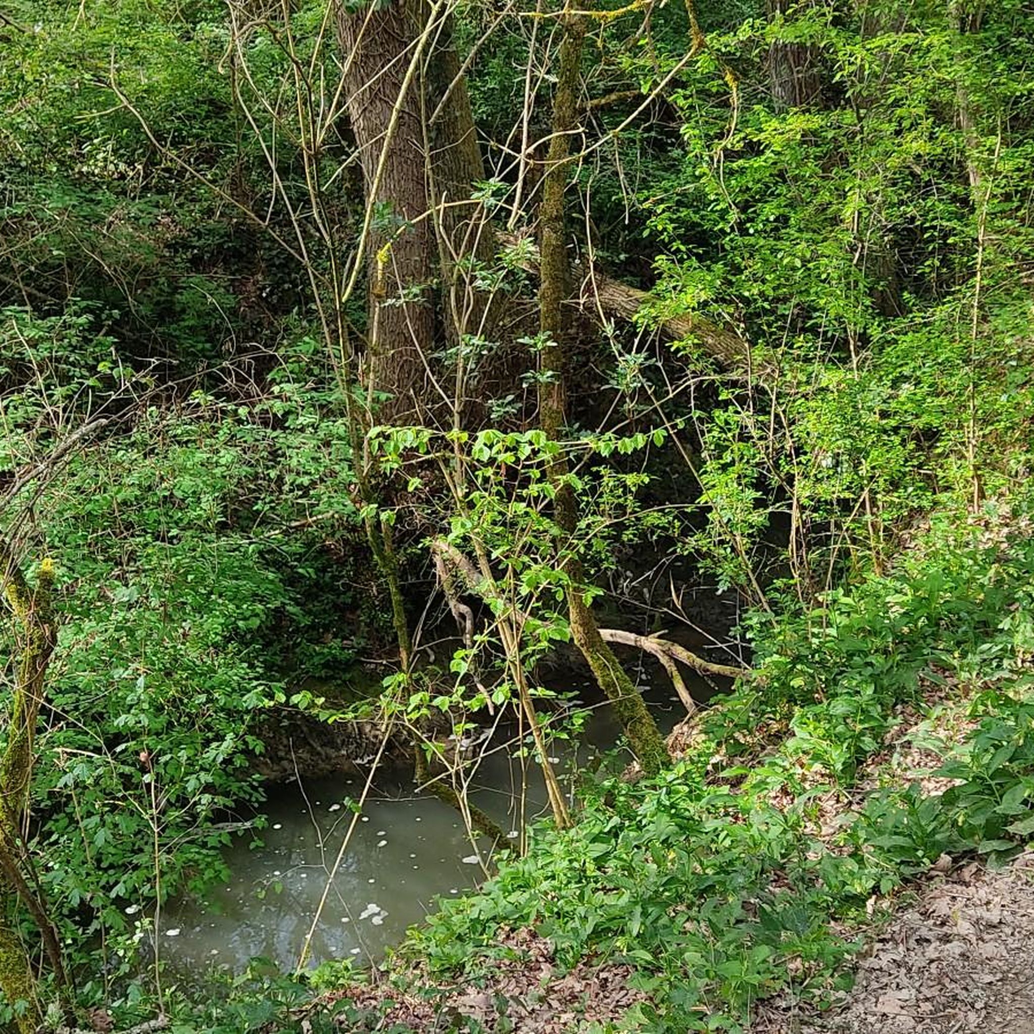
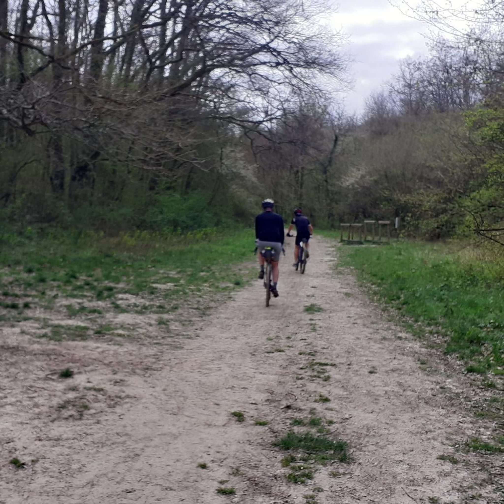
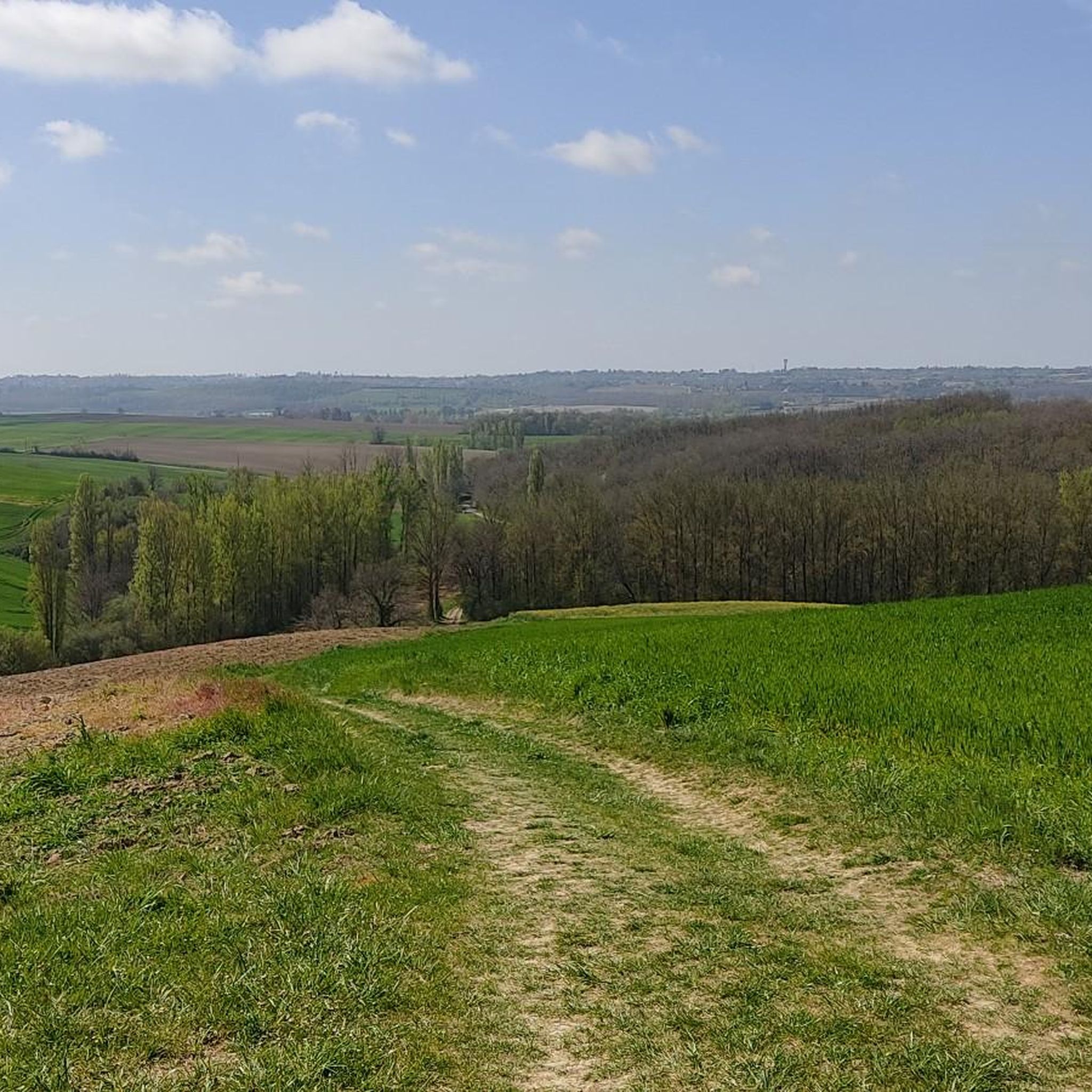

Tips from the Community

You will walk a little on the asphalt, but a large part of the walk will be among the vineyards and woods!
0
0

Very pleasant and accessible circuit with beautiful viewpoints. The time indicated is generous.
0
0

Beautiful by day and at dusk
0
0

Magnificent site, many possibilities for circuits ...
1
0

A great point of view at the top of Vacquiers. A peaceful place to refuel and take a break if needed!
2
0

Very beautiful Toulouse brick church. 360 ° point of view over the surrounding valleys.
0
0
Frequently Asked Questions
How many hiking trails are available around Labastide-Saint-Sernin?
There are over 75 hiking trails around Labastide-Saint-Sernin, offering a wide range of options for different skill levels and preferences. The komoot community has explored more than 1600 tours in the area.
Are there easy hiking trails suitable for beginners or families?
Yes, Labastide-Saint-Sernin offers a good selection of easy trails. There are 34 easy routes, perfect for beginners or families looking for a relaxed outing. An example is the Château de Saint-Geniès loop from Saint-Geniès-Bellevue, which is 3.1 miles (5.0 km) long and features gentle elevation changes.
What kind of terrain can I expect on the hiking trails?
The hiking trails around Labastide-Saint-Sernin are characterized by gently rolling landscapes, open fields, agricultural land, and scattered woodlands. Paths often follow quiet country roads and tracks, with modest elevation changes, making for generally accessible walks.
Are there any circular hiking routes in the area?
Many of the trails around Labastide-Saint-Sernin are designed as loops, offering convenient circular walks. For instance, the Hiking loop from Gratentour is a popular moderate 5.4 miles (8.7 km) path that provides views of the agricultural landscape and local villages.
What is the best time of year to go hiking in Labastide-Saint-Sernin?
The best time to hike in Labastide-Saint-Sernin is typically during spring (April-May) and autumn (September-October) when the weather is mild and pleasant. Summer can be warm, but early mornings or late afternoons are still enjoyable. Winters are generally mild, but trails might be muddy after rain.
Are dogs allowed on the hiking trails?
Generally, dogs are welcome on the hiking trails around Labastide-Saint-Sernin, especially on rural paths and country roads. However, it's always recommended to keep your dog on a leash, especially when passing through agricultural areas or near livestock, and to respect local regulations.
Are there any challenging hikes for experienced hikers?
While the region is known for its gentle terrain, there are a few more challenging options. The guide lists 3 difficult routes. These typically involve longer distances or slightly more varied elevation, though the overall elevation changes in the area remain modest.
What are some interesting places to see or landmarks along the trails?
While hiking, you might encounter various local points of interest. Notable attractions in the wider area include the Gagnac-sur-Garonne Footbridge, the Hers Aqueduct, and the Naudin Mill. The Buzet Forest also offers opportunities for woodland exploration.
Where can I find parking for the hiking trails?
Parking for hiking trails in Labastide-Saint-Sernin is generally available in or near the starting points of routes, often in village centers or designated parking areas. As many routes start from villages like Vacquiers or Castelginest, you can usually find public parking nearby.
What do other hikers say about the trails in Labastide-Saint-Sernin?
The hiking routes in Labastide-Saint-Sernin are highly rated by the komoot community, with an average score of 4.5 stars from over 200 reviews. Hikers often praise the peaceful rural atmosphere, the well-maintained paths, and the pleasant views of the agricultural landscape.
Are there any trails that pass through small villages or offer amenities like cafes?
Many routes, such as the Hiking loop from Castelginest, lead through rural areas and small hamlets. While specific cafes are not guaranteed on every trail, starting or ending your hike in one of the local villages often provides opportunities to find amenities.
How long do the moderate hikes typically take?
Moderate hikes in the region vary in duration. For example, the Hiking loop from Saint-Loup-Cammas, which is 5.6 miles (9.0 km) long, typically takes around 2 hours 27 minutes to complete. The longest moderate route, Vacquiers Church – Vacquiers Church loop from Vacquiers, is 7.5 miles (12.1 km) and takes about 3 hours 15 minutes.
Most popular routes around Labastide-Saint-Sernin
Most popular attractions around Labastide-Saint-Sernin

Get inspired with the komoot mobile app


Explore more
Browse the best Hikes in other regions.
