The best running trails around Belbèze-De-Lauragais
4.4
(231)
8,291
runners
246
runs
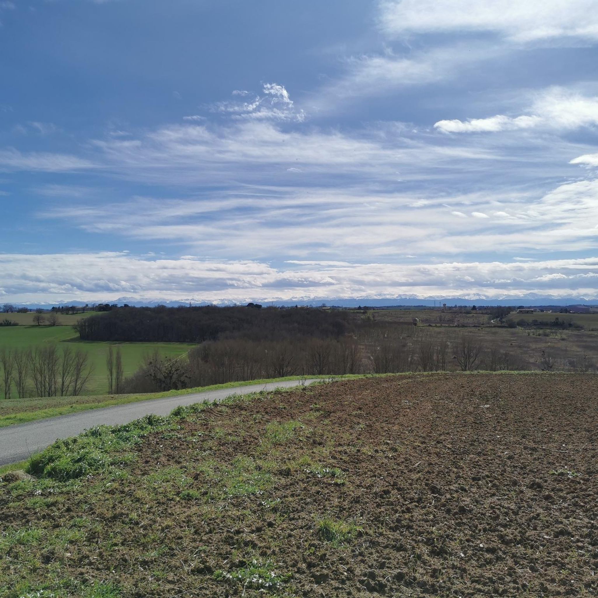
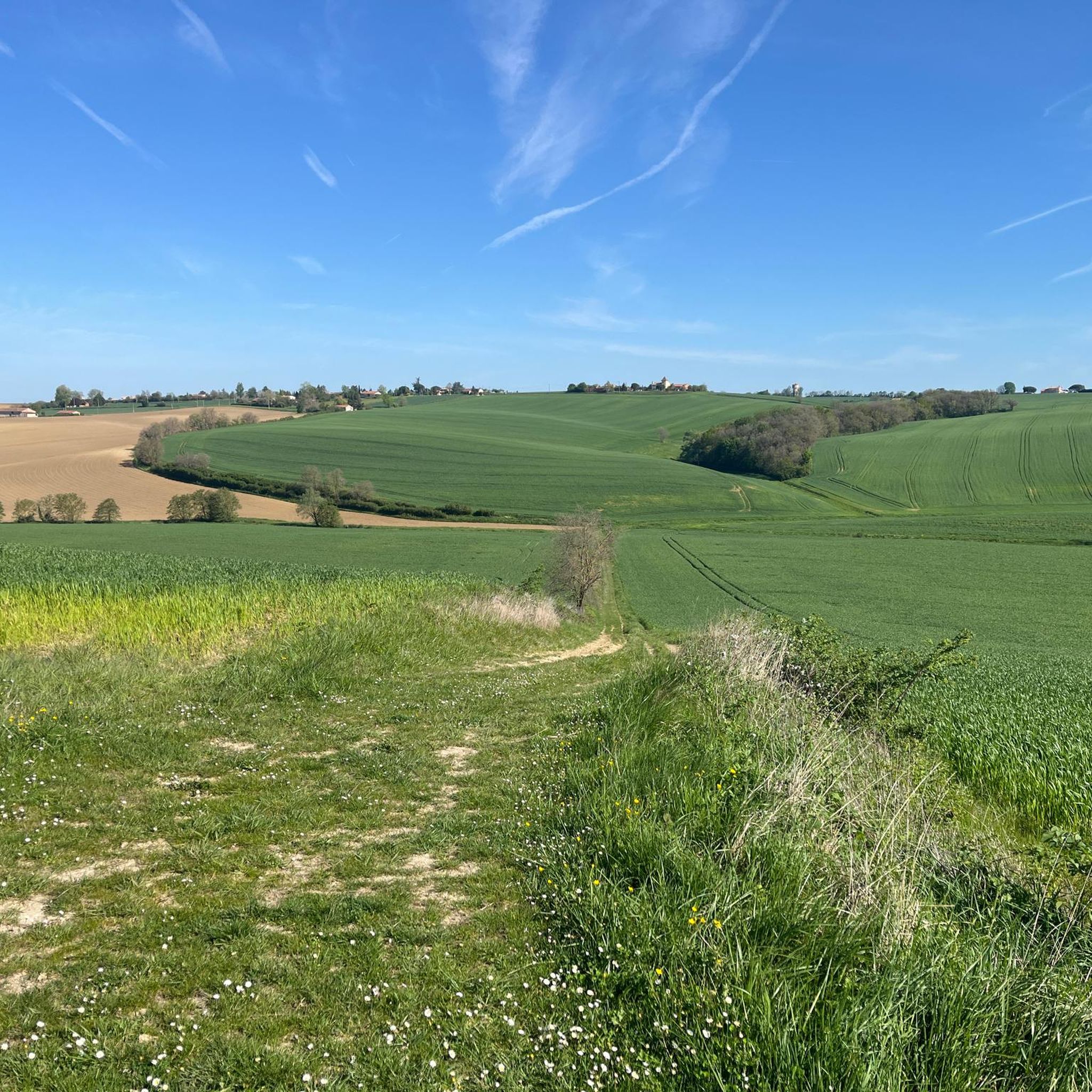
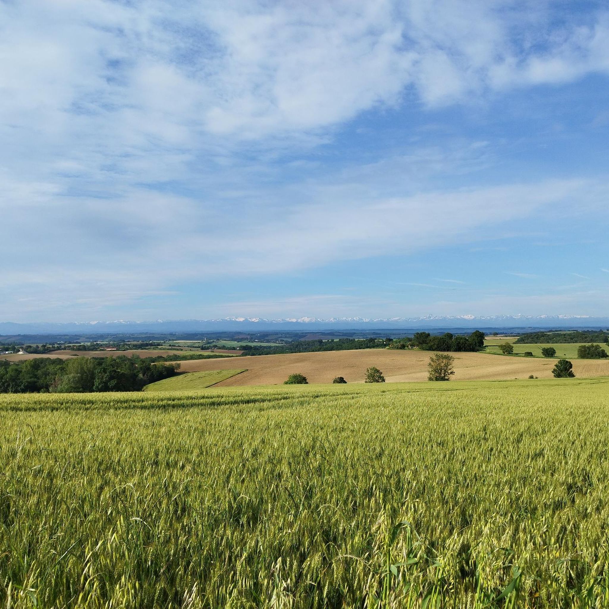
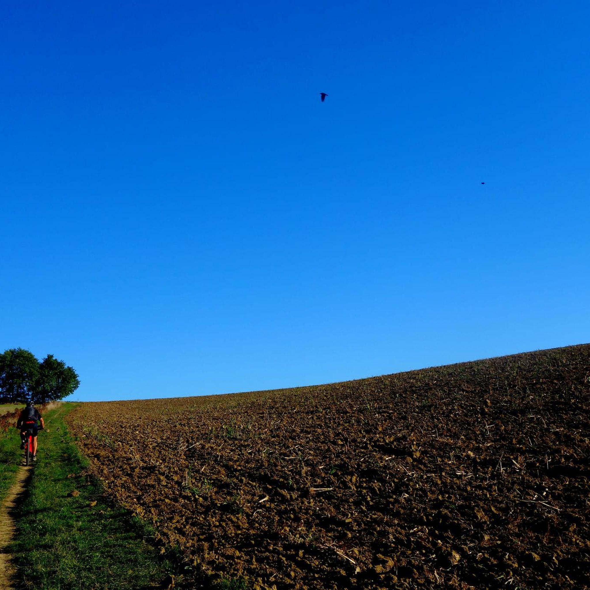
Jogging around Belbèze-De-Lauragais offers diverse terrain across the "Collines resserrées du Lauragais," characterized by rolling hills with elevations ranging from 190 to 275 meters. The landscape blends extensive agricultural fields with scattered woodlands, providing varied environments for running. Nearby, the Canal du Midi offers flat, well-maintained towpaths, contrasting with the region's undulating countryside. This area provides a mix of gentle slopes and more challenging inclines for runners.
Best jogging routes around Belbèze-De-Lauragais
- The most popular jogging route is Roman Bridge…
Last updated: August 20, 2026
5.0
(1)
64
runners
11.3km
01:11
40m
40m
Moderate run. Good fitness required. Mostly paved surfaces. Suitable for all skill levels.
32
runners
6.71km
00:44
90m
90m
Moderate run. Good fitness required. Mostly paved surfaces. Suitable for all skill levels.

Sign up for free
32
runners
5.22km
00:34
20m
20m
Moderate run. Good fitness required. Mostly paved surfaces. Suitable for all skill levels.
5.0
(2)
67
runners
10.2km
01:03
40m
40m
Moderate run. Good fitness required. Mostly paved surfaces. Suitable for all skill levels.
25
runners
9.24km
00:58
90m
90m
Moderate run. Good fitness required. Mostly paved surfaces. Suitable for all skill levels.
Get access to more routes and recommendations from other explorers.
Sign up for free
Already have an account?
Our route recommendations are based on thousands of hikes, rides, and runs completed by other people on komoot.
Start today with a free account
Your next adventure awaits.
Login or Signup

Tips from the Community

The Canal du Midi, formerly the Royal Canal, is a 17th-century technical feat designed by Pierre-Paul Riquet to connect the Atlantic to the Mediterranean. Today, it is above all a place for relaxation and discovery, where heritage, nature, and conviviality blend together.
0
0
The Donneville bridge appears on the 1808 Napoleonic cadastre map. It is part of the bridges built during Riquet's time. However, it was destroyed on April 12, 1814 by Marshal Soult during the battle of Toulouse. Indeed, driven out of Spain, the French soldiers retreated to Toulouse to resist better, but the hostility of the predominantly royalist population forced them to fall back to Castelnaudary. Marshal Soult, anxious to keep his army intact while retreating south of the Canal du Midi, protected his retreat and blew up the bridges, including the one at Donneville. In 1821, the bridge was rebuilt identically.
0
0
As you can imagine, the lock owes its name to a wild boar. The story goes that in 1669, masons working on the construction site of the Canal du Midi slaughtered a huge wild boar trapped in the lock chamber of the lock under construction. Pierre-Paul Riquet passed by the construction site that same day, bought the wild boar and had it transported to Pézenas. He also took the opportunity to offer a banquet to some of his friends who were sitting in the States of Languedoc gathered in that city.
0
0

This bridge is one of those built by Paul Riquet, using beautiful red Toulouse bricks. The Donneville bridge appears on the Napoleonic land registry map of 1808.
1
0

This lock is one of many along the Canal du Midi
2
1
Building used for overnight accommodation of pilgrims
2
0

One of many locks on the Canal du Midi.
1
0
Frequently Asked Questions
How many running routes are available in Belbèze-De-Lauragais?
There are over 200 running routes around Belbèze-De-Lauragais, offering a wide variety of options for all skill levels. The komoot community has explored more than 210 routes in the area.
Are there easy jogging routes suitable for beginners or leisurely runs?
Yes, Belbèze-De-Lauragais offers a selection of easy jogging routes. There are 18 routes classified as 'easy', perfect for beginners or those looking for a more relaxed run. These often feature gentler slopes and well-maintained paths through the picturesque agricultural landscape.
What kind of terrain can I expect on the running trails in this region?
The region is characterized by the 'Collines resserrées du Lauragais,' offering a dynamic landscape with rolling hills and elevations between 190 and 275 meters. You'll find a mix of agricultural fields and scattered woodlands. Additionally, the nearby Canal du Midi provides flat, well-maintained towpaths for a different running experience.
Are there any long-distance or more challenging running trails?
Absolutely. For those seeking a challenge, there are 37 difficult routes and 159 moderate routes. Trails like the Moulin de Montbrun-Lauragais – Moulin de Montrbrun Lauragais loop from Pouze, spanning over 15 km with significant elevation gain, provide a more demanding workout through the undulating hills.
What do other runners say about the routes in Belbèze-De-Lauragais?
The running routes in Belbèze-De-Lauragais are highly rated by the komoot community, with an average score of 4.4 stars from over 150 reviews. Runners often praise the diverse terrain, from the rolling hills with extensive views to the peaceful sections along the Canal du Midi, and the well-maintained paths.
Are there any circular running routes in the area?
Yes, many of the routes around Belbèze-De-Lauragais are circular, allowing you to start and finish at the same point. For example, the Lake of Montbrun Lauragais loop from Montgiscard is a popular circular trail that takes you through rolling hills and past the lake.
Can I find running routes that are suitable for families?
While specific 'family-friendly' designations aren't always explicit, the easier and moderate routes with well-maintained paths, especially those along the Canal du Midi, can be suitable for families. These offer a less strenuous experience in a pleasant environment. Always check the route details for distance and elevation to ensure it matches your family's capabilities.
Are there any interesting landmarks or attractions to see along the running routes?
Yes, the region offers several points of interest. You might encounter historical structures like the Castanet Lock or the Brick Bridge on the Canal du Midi at Pompertuzat. The Canal du Midi Pathway itself is a significant feature, and you can also explore the Trail of the Notre-Dame des Bois Chapel.
Are the running trails in Belbèze-De-Lauragais dog-friendly?
Many outdoor trails in the Lauragais region are generally dog-friendly, especially those through agricultural fields and woodlands. However, it's always recommended to keep your dog on a leash, particularly near livestock or in populated areas, and to check local regulations for specific routes or nature reserves.
Are there running routes accessible by public transport?
While Belbèze-De-Lauragais itself is a smaller commune, the broader Lauragais region has some public transport options. For routes along the Canal du Midi, you might find access points near larger towns like Montgiscard or Ayguesvives, which may have bus services. It's best to check local transport schedules for specific starting points.
Are there running routes with convenient parking?
Many routes in the region, particularly those starting from villages or popular recreational areas, offer designated parking. For example, routes like the Roman Bridge 🧱 – Sanglier Lock loop from Montgiscard or the Lake of Montbrun Lauragais loop from Montgiscard typically have parking available at their starting points in Montgiscard.
What is the best time of year for running in Belbèze-De-Lauragais?
The region offers pleasant running conditions for much of the year. Spring and autumn provide mild temperatures and beautiful scenery with blooming fields or changing foliage. Summer can be warm, so early morning or late evening runs are preferable. Winter runs are also possible, with the undulating landscapes offering crisp, clear views.
Most popular routes around Belbèze-De-Lauragais
Most popular attractions around Belbèze-De-Lauragais

Get inspired with the komoot mobile app


Explore more
Browse the best Running Trails & Routes in other regions.
