The best walks and hikes around Larochemillay
4.2
(201)
815
hikers
46
hikes
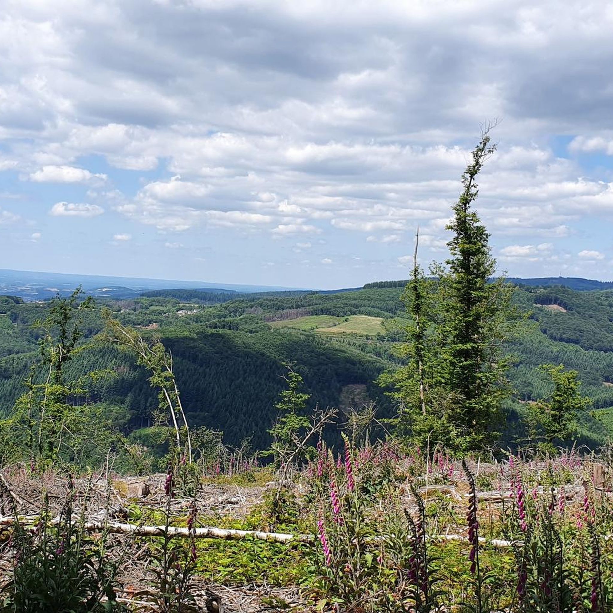
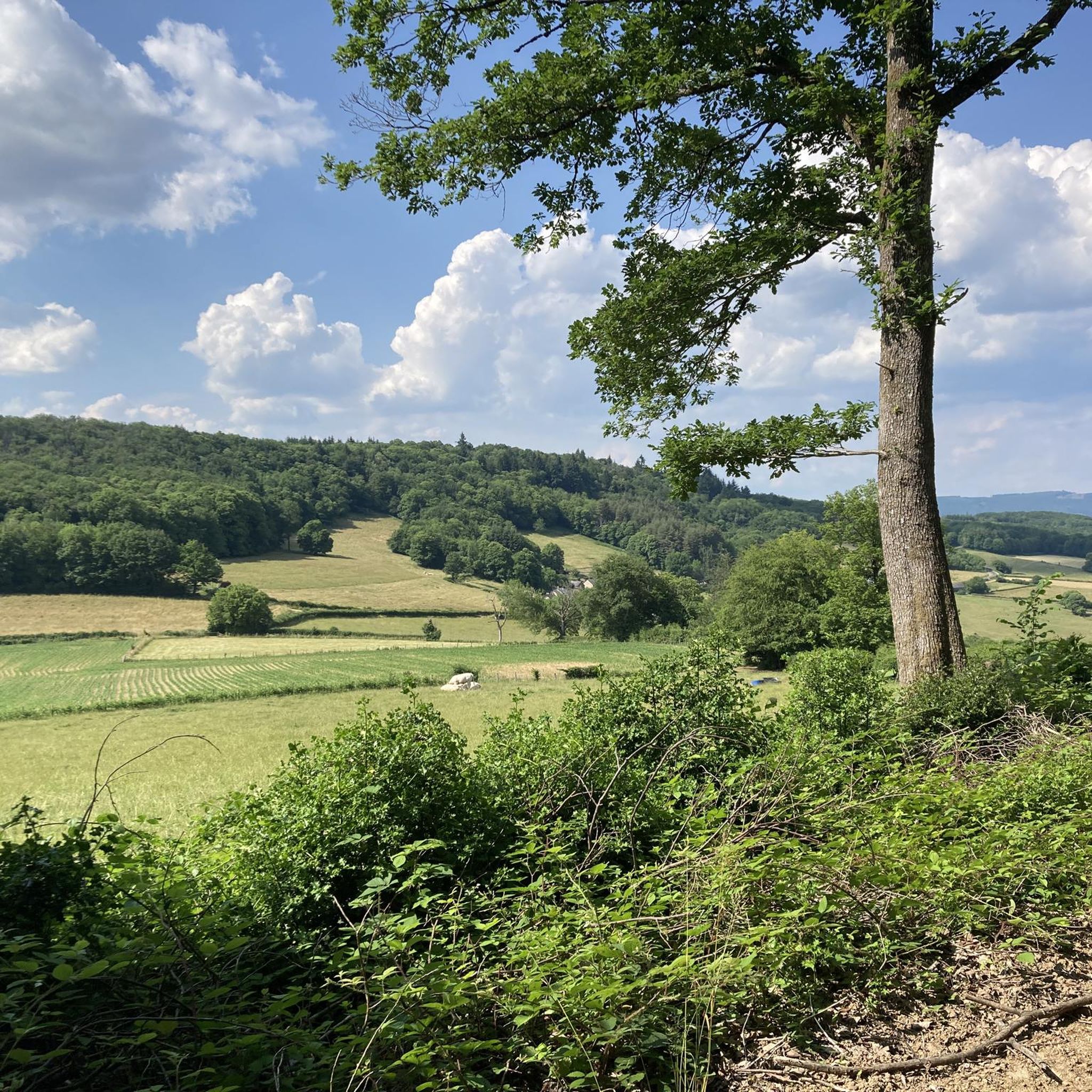
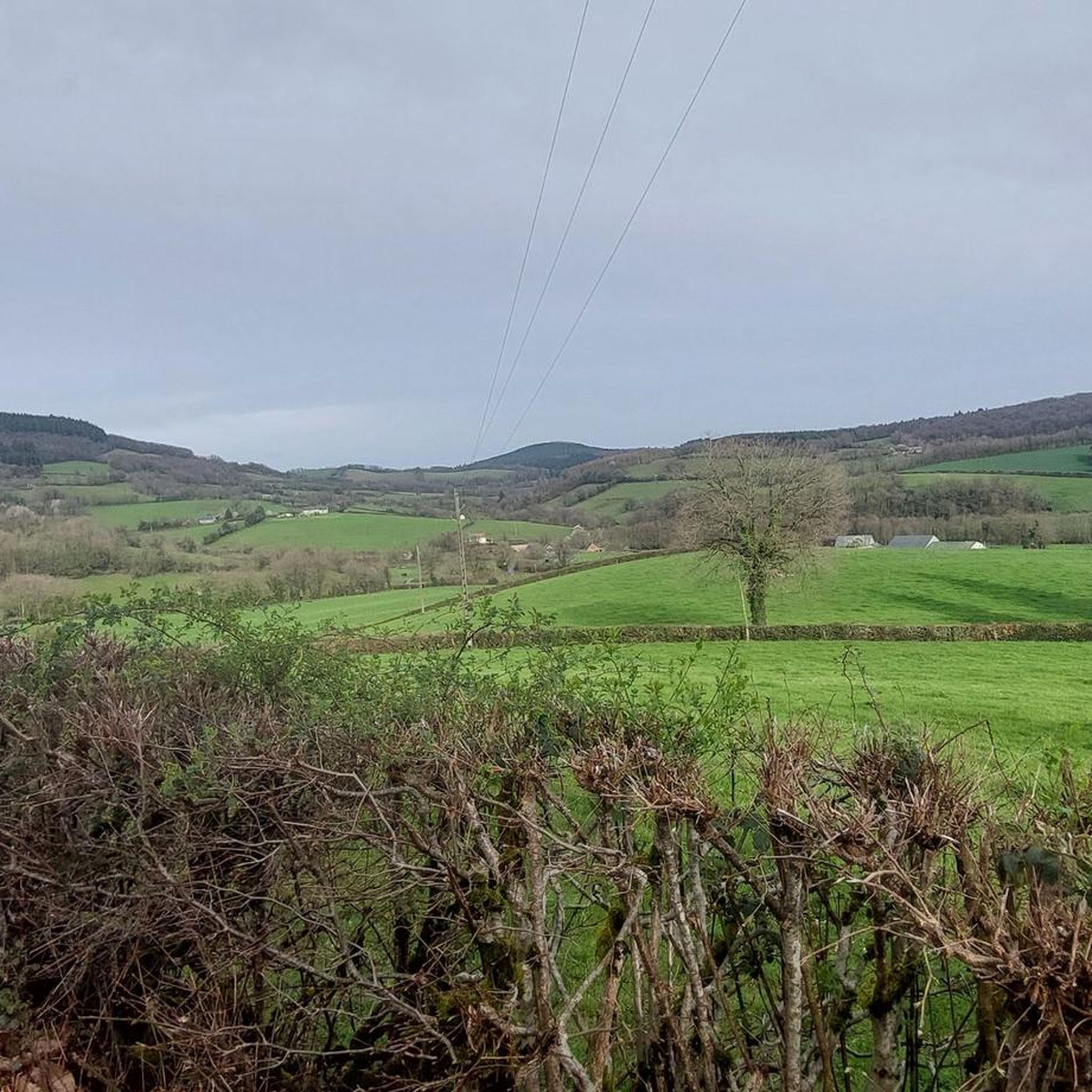
Hiking trails around Larochemillay traverse the varied landscapes of the Morvan Regional Natural Park, characterized by extensive forests, open meadows, and granite formations. The area includes prominent peaks such as Mont Beuvray and Haut Folin, offering panoramic views and diverse terrain. Hikers can explore paths ranging from gentle slopes to more challenging ascents, often encountering historical elements like the Château de la Roche.
Best hiking trails around Larochemillay
- The most popular hiking route is Tour du Morvan - Larochemillay Loop, a 9.9 miles (15.9 km) moderate trail that takes 4 hours 48 minutes to complete, leading through forests and meadows with views of Château de la Roche.
- Another top favourite among local hikers is View of the Morvan Valley – View of Mont Beuvray loop from Mesles, a moderate 5.1 miles (8.3 km) path. This route offers views of the Morvan Valley and Mont Beuvray.
- Local hikers also love the Hiking loop from Domaine du Bouis, a 3.5 miles (5.7 km) trail leading through local landscapes with gentle elevation changes, often completed in about 1 hour 34 minutes.
- Hiking around Larochemillay is defined by extensive forests, open meadows, and granite formations, with trails offering options for different ability levels.
- The routes in Larochemillay are highly rated by the komoot community with an average score of 4.2 stars from over 190 reviews. More than 770 hikers have used komoot to explore Larochemillay's varied terrain.
Last updated: July 7, 2026
4.8
(10)
36
hikers
15.9km
04:48
550m
550m
Moderate hike. Good fitness required. Mostly accessible paths. Sure-footedness required.
4.1
(9)
31
hikers
8.29km
02:30
270m
270m
Moderate hike. Good fitness required. Easily-accessible paths. Suitable for all skill levels.

Sign up for free
4.2
(5)
31
hikers
6.71km
01:59
200m
210m
Easy hike. Great for any fitness level. Easily-accessible paths. Suitable for all skill levels.
5.0
(5)
24
hikers
Moderate hike. Good fitness required. Easily-accessible paths. Suitable for all skill levels.
4.5
(8)
18
hikers
18.1km
05:21
520m
520m
Hard hike. Very good fitness required. Easily-accessible paths. Suitable for all skill levels.
Get access to more routes and recommendations from other explorers.
Sign up for free
Already have an account?
Our route recommendations are based on thousands of hikes, rides, and runs completed by other people on komoot.
Start today with a free account
Your next adventure awaits.
Login or Signup

Tips from the Community

Located on a granite promontory, the Château de la Roche is a listed historical monument. Built in the 12th century, it overlooks the village of Larochemillay.
0
0

Literally sent into the woods, no paths in the woods. Went back
0
0
Trail past the waterfall is essentially blocked by many fallen trees. I would recommend the alternative trail from Villapourcon of about 11 km.
1
0

After the waterfall, the path is no longer easy to follow. There must have been a storm; a pile of fallen trees are lying around, and the path is no longer recognizable. It gets better again after crossing the small river.
3
0
From here the path along the water becomes difficult to follow
0
0

Beautiful, recommended walk. Small problem: the indicated right turn at km 6.44 is a non-accessible private road. Simply continue and turn right at km 7.32 to find the proposed road again after +/- 150 m (uphill).
2
0

A small village in the Morvan region. The village center is built in the traditional stone style. In the narrow streets of the village you will find one or two small local restaurants, as well as a pretty church right in the center of the old village.
0
0

Larochemillay is an extremely picturesque village, perched on its cliff.
0
0
Frequently Asked Questions
How many hiking trails are there in Larochemillay, and what are their difficulty levels?
Larochemillay offers a wide range of hiking opportunities with over 45 trails. These include 16 easy routes perfect for a relaxed stroll, 29 moderate trails for those seeking a bit more challenge, and 3 difficult routes for experienced hikers.
Are there any easy hiking trails suitable for beginners or a relaxed walk?
Yes, Larochemillay has 16 easy hiking routes. A great option is the Hiking loop from Domaine du Bouis, which is 5.7 km long with gentle elevation changes, making it ideal for a less strenuous walk.
Can I find circular hiking routes around Larochemillay?
Absolutely. Many trails in the area are circular, allowing you to start and end in the same location. For example, the Tour du Morvan - Larochemillay Loop is a popular 15.9 km circular route that takes you through forests and meadows.
Are there any waterfalls or notable natural features to see on hikes near Larochemillay?
Yes, the region boasts beautiful natural features. You can visit the picturesque Dragne Waterfall, which is a significant natural attraction. The area is also characterized by extensive forests, open meadows, and unique granite formations within the Morvan Regional Natural Park.
What kind of viewpoints or landmarks can I expect to see while hiking in the area?
Hikers can enjoy exceptional panoramic views from prominent peaks like Mont Beuvray (821 meters) and Haut Folin (901 meters). Many routes also offer views of the historic Château de la Roche. The View of the Morvan Valley – View of Mont Beuvray loop from Mesles is a great option for scenic vistas.
Are the hiking trails around Larochemillay dog-friendly?
Generally, dogs are welcome on trails in the Morvan Regional Natural Park, but it's always recommended to keep them on a leash to protect wildlife and ensure a pleasant experience for all hikers. Always check specific trail regulations if available.
Are there hiking options suitable for families with children?
Yes, with 16 easy routes available, many trails around Larochemillay are suitable for families. Shorter, less strenuous loops like the Hiking loop from Domaine du Bouis (5.7 km) are good choices for walks with children.
When is the best time of year to go hiking in Larochemillay?
The Morvan Regional Natural Park is beautiful year-round. Spring and autumn offer pleasant temperatures and vibrant foliage, while summer is ideal for longer days and exploring. Winter hiking is also possible, especially on higher peaks like Haut Folin, which is suitable for both summer hiking and winter skiing.
Where can I find parking for hiking trails in Larochemillay?
Parking is generally available at trailheads and near popular starting points in and around Larochemillay, particularly in the village center or at designated areas within the Morvan Regional Natural Park. Specific parking information is often provided on individual route descriptions.
Is it possible to reach hiking areas around Larochemillay using public transport?
Public transport options to Larochemillay and its immediate hiking areas can be limited, as it is a rural region. It's advisable to check local bus schedules or consider driving to access the most convenient starting points for hikes within the Morvan Regional Natural Park.
What do other hikers enjoy the most about hiking in Larochemillay?
The hiking experience in Larochemillay is highly rated by the komoot community, with an average score of 4.2 stars from over 190 reviews. Hikers often praise the quiet, unspoiled countryside, the diverse terrain of forests and meadows, and the panoramic views from peaks like Mont Beuvray.
Are there any long-distance hiking trails that pass through Larochemillay?
Yes, the broader GR® de Pays Tour of Morvan is a long-distance hiking loop that traverses the Morvan Regional Nature Park. This extensive trail offers an immersive way to explore the region's history and culture across 232 km of trails. More information can be found on Burgundy Tourism's website.
Most popular routes around Larochemillay
Most popular attractions around Larochemillay

Get inspired with the komoot mobile app


Explore more
Browse the best Hikes in other regions.
