The best walks and hikes around Saint-Marcel-Paulel
4.5
(107)
829
hikers
38
hikes
Hiking around Saint-Marcel-Paulel provides routes through a landscape characterized by rolling agricultural fields, interspersed woodlands, and several tranquil lakes. The region offers opportunities for gentle walks and longer excursions, often following paths that circumnavigate these water bodies. These hiking trails near Saint-Marcel-Paulel are generally accessible, with moderate elevation changes.
Best hiking trails around Saint-Marcel-Paulel
- The most popular hiking route is Tour of Lac de la Balerme from Verfeil, a 8.7 miles (14.1 km) trail that takes 3 hours 50…
Last updated: October 12, 2026
4.5
(26)
89
hikers
14.1km
03:51
220m
220m
Moderate hike. Good fitness required. Easily-accessible paths. Suitable for all skill levels.
4.4
(21)
212
hikers
9.75km
02:39
140m
140m
Moderate hike. Good fitness required. Easily-accessible paths. Suitable for all skill levels.

4.0
(5)
38
hikers
8.47km
02:16
100m
100m
Moderate hike. Good fitness required. Easily-accessible paths. Suitable for all skill levels.
4.3
(6)
37
hikers
8.57km
02:22
150m
150m
Moderate hike. Good fitness required. Easily-accessible paths. Suitable for all skill levels.
5.0
(2)
49
hikers
7.63km
02:10
170m
170m
Moderate hike. Good fitness required. Easily-accessible paths. Suitable for all skill levels.
Get access to more routes and recommendations from other explorers.
Already have an account?
Our route recommendations are based on thousands of hikes, rides, and runs completed by other people on komoot.
Start today with a free account
Your next adventure awaits.

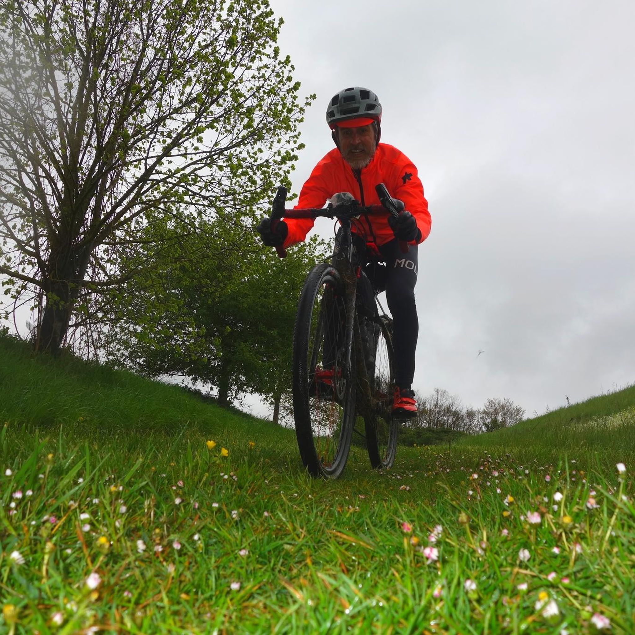
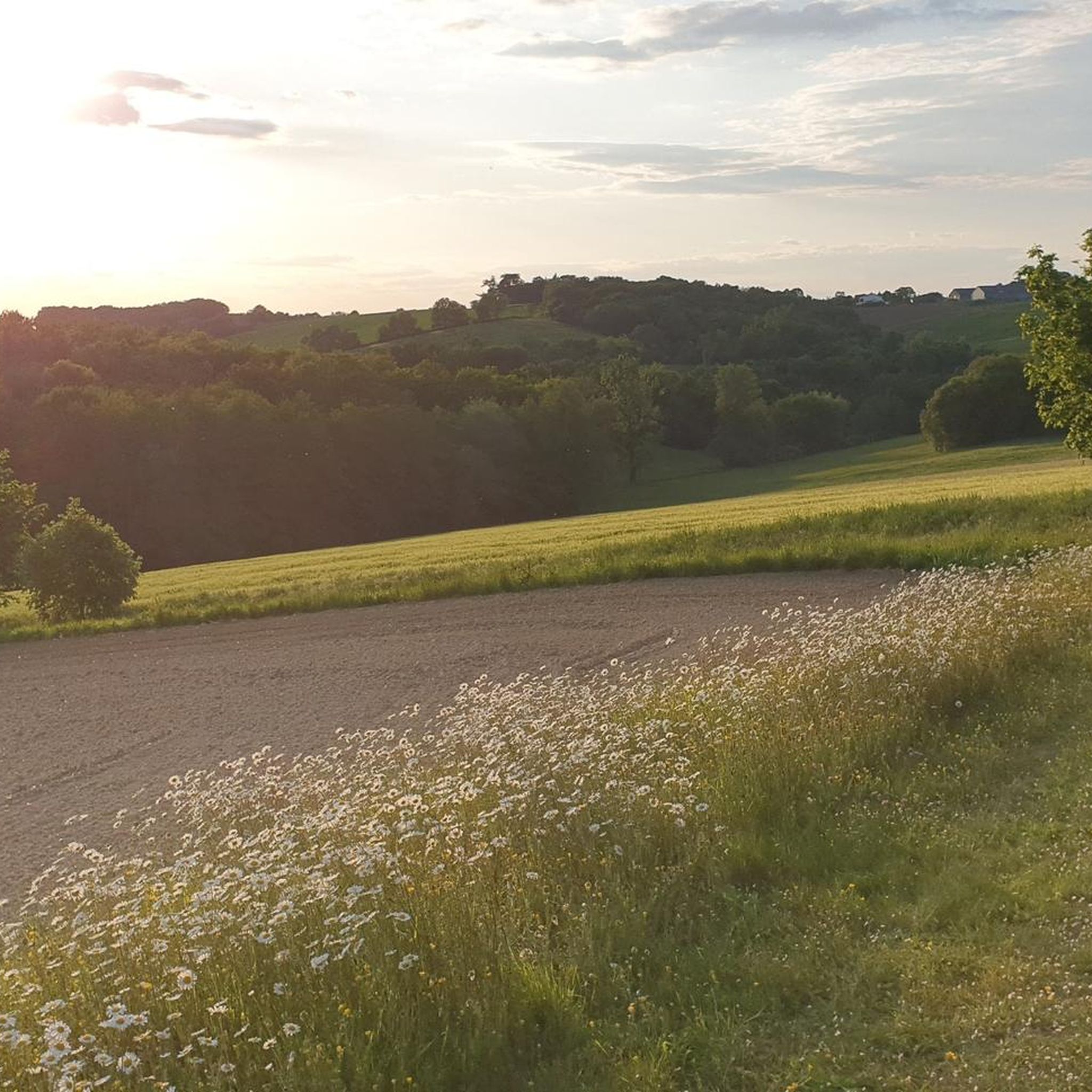
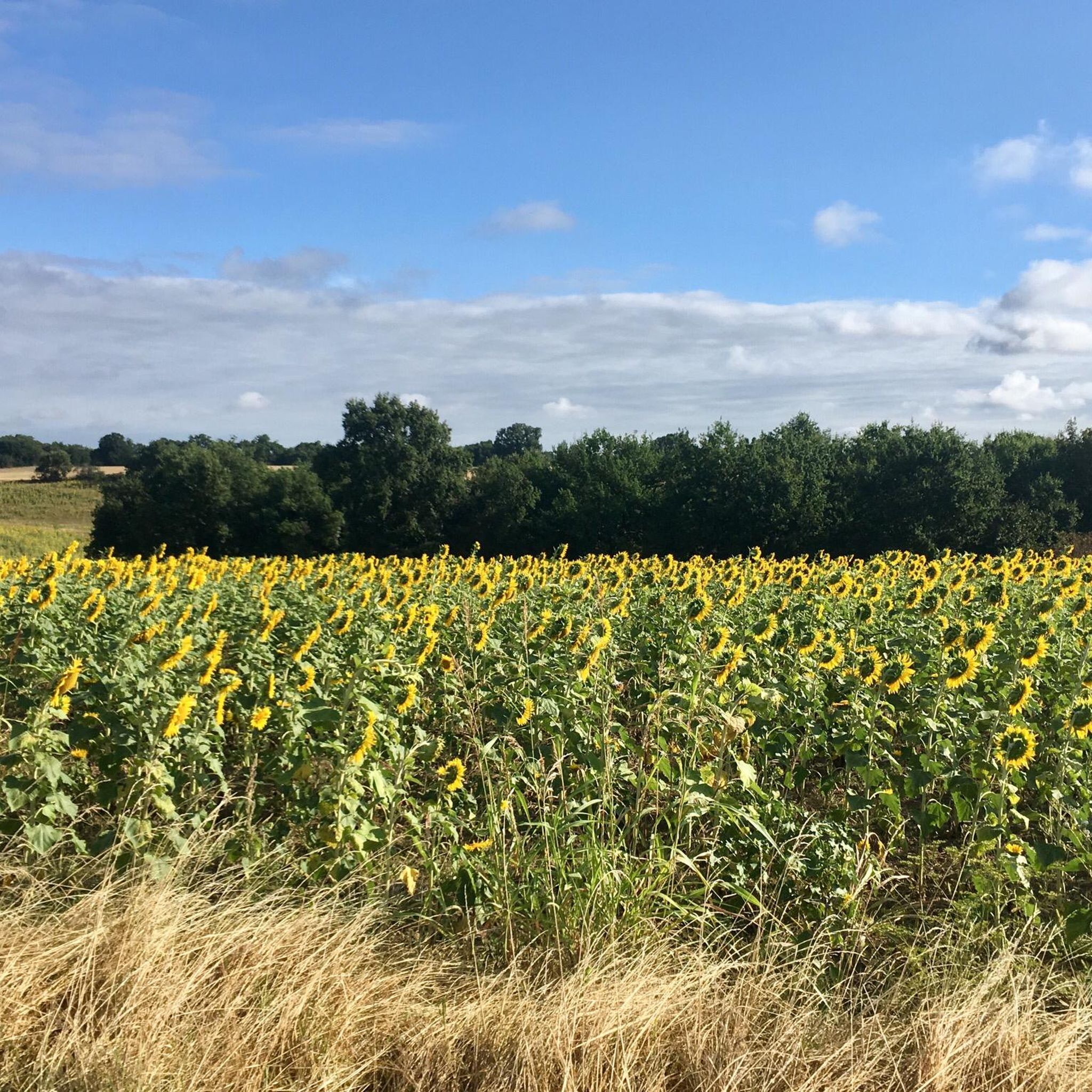

Tips from the Community

at here has a great view of the area
1
0

35 minutes from Toulouse, Lac de la Balerme is the ideal place to run along the water.
0
0
35 minutes from Toulouse, Lac de la Balerme is the ideal place for a quiet stroll by the water.
0
0

Cute spot, not far from Toulouse. Ideal picnic or even bivouac
1
1

Magnificent lake in the heart of Lauragais, 2 steps from Toulouse. It is possible to go around the lake by a path that has kept its wild charm. And on a clear day, the Pyrenees are visible in the distance. A delight !
0
0
Frequently Asked Questions
How many hiking trails are available around Saint-Marcel-Paulel?
There are over 40 hiking routes documented around Saint-Marcel-Paulel, offering a variety of options for different skill levels. You'll find 18 easy trails and 22 moderate trails to explore.
What is the typical length and duration of hikes around Saint-Marcel-Paulel?
Hikes in this region vary, but many popular routes are moderate in length. For example, the Tour of Lac de la Balerme from Verfeil is about 8.7 miles (14.1 km) and takes around 3 hours 50 minutes, while the Lac du Laragou loop from Montpitol is 5.3 miles (8.5 km) and can be completed in about 2 hours 16 minutes.
Are there family-friendly hiking options in Saint-Marcel-Paulel?
Yes, many of the trails around Saint-Marcel-Paulel are suitable for families. The landscape features rolling agricultural fields and tranquil lakes with generally moderate elevation changes, making for pleasant walks. Look for the 'easy' graded routes for the most family-friendly experiences.
Can I bring my dog on the hiking trails in Saint-Marcel-Paulel?
Most hiking trails in rural areas like Saint-Marcel-Paulel are dog-friendly. However, it's always recommended to keep your dog on a leash, especially when passing through agricultural fields or near livestock, and to respect local regulations.
Are there many circular hiking routes in Saint-Marcel-Paulel?
Yes, circular routes are a defining characteristic of hiking around Saint-Marcel-Paulel. Many trails are designed as loops, often circumnavigating the region's tranquil lakes. Examples include the Lake Balerme loop from Verfeil and the Lake Flourens – Lake Flourens loop from Mons.
When is the best time of year to go hiking in Saint-Marcel-Paulel?
The spring and autumn months are generally ideal for hiking in Saint-Marcel-Paulel, offering pleasant temperatures and vibrant scenery. Summer can be warm, but early mornings or late afternoons are still enjoyable. Winter hiking is possible, though trails might be muddy.
What can I see along the hiking trails around Saint-Marcel-Paulel?
The trails often feature views of rolling agricultural fields, interspersed woodlands, and tranquil lakes. You might also encounter historical points of interest such as the Château de Bonrepos-Riquet, or enjoy scenic sections like the Gravel Section in the Forest.
Is parking available at the trailheads in Saint-Marcel-Paulel?
While specific parking information for every trailhead isn't always available, many routes around Saint-Marcel-Paulel start from villages or designated recreational areas near lakes, where public parking is typically provided or easily found.
What do other hikers enjoy the most about hiking in Saint-Marcel-Paulel?
The area is highly rated by the komoot community, with an average score of 4.5 stars. Reviewers often praise the peaceful lake circuits, the varied terrain of agricultural paths and small wooded sections, and the accessibility of the routes for different ability levels.
Are there any less-known or 'hidden gem' hiking trails to discover?
Beyond the most popular lake loops, exploring the network of agricultural paths and smaller wooded sections can reveal quieter, less-trafficked routes. Consider using komoot's route planner to discover unique paths that connect different points of interest, such as the Hiking loop from Verfeil, which offers a different perspective of the local landscape.
Are there accessible hiking trails for people with limited mobility?
The region is characterized by moderate elevation changes and generally accessible paths. While not all trails are specifically designed for wheelchairs, many of the easier, flatter sections, particularly around the lakes, might be suitable for those with limited mobility. It's advisable to check individual route details for specific terrain information.
Most popular routes around Saint-Marcel-Paulel
Most popular attractions around Saint-Marcel-Paulel

Get inspired with the komoot mobile app


Explore more
Browse the best Hikes in other regions.
