The best road cycling routes around Garidech
4.4
(168)
3,056
riders
366
rides
Road cycling routes around Garidech traverse a landscape characterized by rolling hills and open countryside, with views extending towards the Pyrenees and Black Mountain. The region features a mix of village centers, agricultural lands, and some wooded sections. Elevation gains vary, offering routes from gently undulating paths to more challenging climbs.
Best road cycling routes around Garidech
- The most popular road cycling route is Around Teulat – Verfeil Village Center loop from Gragnague, a 25.8 miles (41.6 km) trail…
Last updated: October 19, 2026
4.0
(3)
23
riders
41.6km
01:46
310m
310m
Moderate road ride. Good fitness required. Mostly well-paved surfaces and easy to ride.
5.0
(2)
22
riders
36.1km
01:29
200m
200m
Easy road ride. Great for any fitness level. Mostly well-paved surfaces and easy to ride.

15
riders
65.4km
02:40
250m
250m
Moderate road ride. Good fitness required. Mostly well-paved surfaces and easy to ride.
23
riders
106km
04:47
930m
930m
Hard road ride. Very good fitness required. Mostly well-paved surfaces and easy to ride.
5.0
(1)
17
riders
56.9km
02:22
360m
360m
Moderate road ride. Good fitness required. Mostly well-paved surfaces and easy to ride.
Get access to more routes and recommendations from other explorers.
Already have an account?
Our route recommendations are based on thousands of hikes, rides, and runs completed by other people on komoot.
Start today with a free account
Your next adventure awaits.

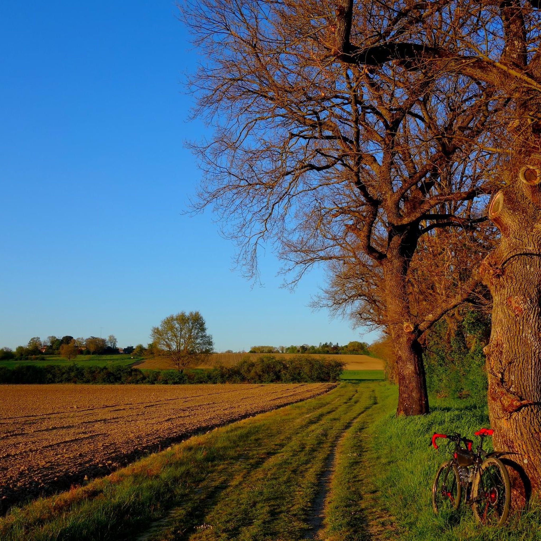
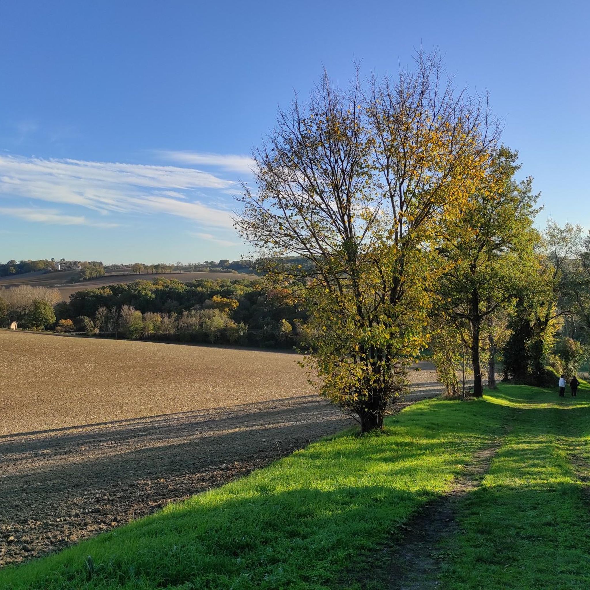
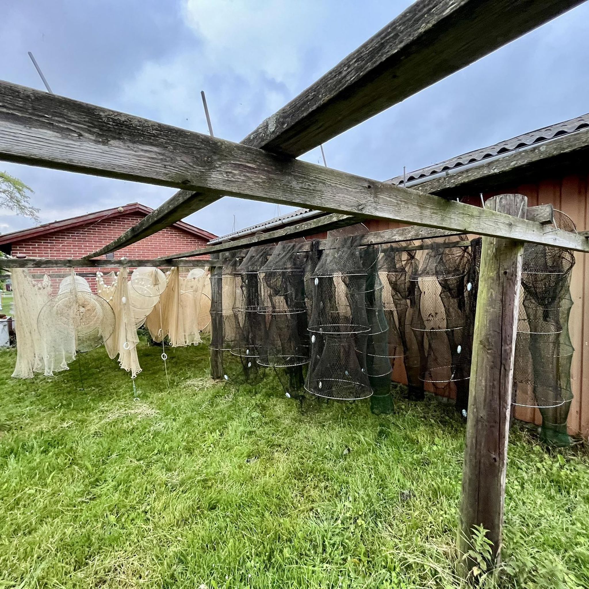

Tips from the Community

The Canal de Garonne runs along the river for 193 km, punctuated by 53 locks and several canal bridges, including the famous pont-canal d’Agen, the second longest canal bridge in France, entirely built of cut stone.
0
0
Simple lock located on the Canal Latéral à la Garonne. Built around 1840, the locks of the Canal de Garonne or Canal Latéral are distinguished by their perfectly parallel side walls (or bajoyers), unlike the locks of the Canal du Midi which are oval in shape.
0
0

a solid American for refueling
0
0

Strange evocation of the Countess of Ségur. The famous little model girls from the eponymous book lie here, on the borders of Tarn and Haute-Garonne.
0
0

A small cemetery in a small French village. A little tip: There is drinking water from the pipes here.
0
0

Small lock on the Canal Lateral du Garonne. More information: https://de.wikipedia.org/wiki/Canal_lat%C3%A9ral_%C3%A0_la_Garonne?wprov=sfla1
2
0

Not the smoothest of surfaceses and no light an night
0
0

Frequently Asked Questions
How many road cycling routes are available around Garidech?
There are over 350 road cycling routes available around Garidech, catering to various skill levels. You'll find everything from easy loops to challenging long-distance rides.
What kind of terrain can I expect on road cycling routes near Garidech?
Road cycling routes around Garidech are characterized by rolling hills and open countryside. You can expect views extending towards the Pyrenees and the Black Mountain. The region features a mix of village centers, agricultural lands, and some wooded sections, offering varied scenery.
What is the best time of year for road cycling in Garidech?
The region generally experiences mild weather, making spring and autumn ideal for road cycling. Summers can be hot, but early mornings or late afternoons are still pleasant. Winters are typically mild, allowing for year-round cycling, though some routes might be affected by rain.
Are there easy road cycling routes suitable for beginners in Garidech?
Yes, Garidech offers a good selection of routes suitable for beginners. Approximately 45 routes are rated as easy, featuring gentler gradients and shorter distances, perfect for those new to road cycling or looking for a relaxed ride.
Where can I find challenging road bike climbs around Garidech?
For those seeking a challenge, Garidech has nearly 50 difficult road cycling routes with significant elevation gains. A notable example is the Lake Tordre loop from Gragnague, which covers 74 miles (119.1 km) and features substantial climbing as it circles Lake Tordre.
Are there options for long-distance road cycling near Garidech?
Absolutely. Garidech is well-suited for long-distance road cycling. Routes like the Lake Tordre loop from Gragnague offer over 70 miles of riding. Many routes can also be combined to create even longer journeys through the varied landscape.
Are there circular road cycling routes available in Garidech?
Most of the road cycling routes in Garidech are designed as circular loops, allowing you to start and finish at the same point. For instance, the popular Around Teulat – Verfeil Village Center loop from Gragnague is a moderate 25.8-mile (41.6 km) circular route connecting several villages.
Can I find road cycling routes with scenic viewpoints near Garidech?
Many routes in the Garidech area offer picturesque views. The region's rolling hills provide excellent vantage points for distant views of the Pyrenees and the Black Mountain. Consider the View of the Pyrenees – Small road with view loop from Gragnague for specific scenic vistas.
Are there road cycling routes that pass through villages or offer cafe stops?
Yes, many routes are designed to pass through charming village centers, providing opportunities for cafe stops and breaks. The Around Teulat – Verfeil Village Center loop from Gragnague is a great example, connecting several local villages.
What interesting places can I explore along road cycling routes near Garidech?
While cycling, you can explore various points of interest. Highlights include the historic Climb to the Château de Bonrepos-Riquet, the tranquil Buzet Forest, and the charming settlement of Azas. These attractions offer a glimpse into the local heritage and natural beauty.
What do other road cyclists appreciate about the routes in Garidech?
The road cycling routes in Garidech are highly rated by the komoot community, with an average score of 4.37 stars from over 140 reviews. Cyclists often praise the varied terrain, the beautiful open countryside, and the distant mountain views, along with the well-maintained network of roads.
Is parking available at road bike trailheads in Garidech?
Many of the starting points for road cycling routes in and around Garidech, especially those originating from larger villages or towns like Gragnague, offer convenient parking options. It's advisable to check the specific route details on komoot for parking information at your chosen trailhead.
How accessible are Garidech's road cycling routes by public transport?
Garidech is located near Toulouse, which has good public transport links. While direct public transport to every trailhead might be limited, you can often reach larger towns in the vicinity by bus or train, and then cycle to your desired starting point. Planning your route with public transport connections in mind is recommended.
Most popular attractions around Garidech

Get inspired with the komoot mobile app


Explore more
Browse the best Road cycling routes in other regions.
