The best running trails around Bians-Les-Usiers
4.2
(53)
4,115
runners
251
runs
Jogging around Bians-Les-Usiers offers diverse landscapes, from dramatic gorges and cascading waterfalls to serene lakes and dense forests. The region, now part of Val-d'Usiers, features varied terrain including hills, riverside paths, and extensive woodland trails. These natural features provide a range of running experiences for different fitness levels. The area is well-equipped for trail running, with marked routes exploring the valley.
Best jogging routes around Bians-Les-Usiers
- The most popular jogging route is Le Mont-calvaire loop from Val-d'Usiers, a 5.4…
Last updated: July 6, 2026
4.0
(1)
90
runners
10.9km
01:18
220m
220m
Moderate run. Good fitness required. Mostly paved surfaces. Suitable for all skill levels.
15
runners
8.67km
01:05
180m
180m
Moderate run. Good fitness required. Mostly paved surfaces. Suitable for all skill levels.

Sign up for free
9
runners
5.48km
00:37
50m
50m
Moderate run. Good fitness required. Mostly paved surfaces. Suitable for all skill levels.
8
runners
17.0km
01:55
200m
190m
Hard run. Very good fitness required. Mostly paved surfaces. Suitable for all skill levels.
2
runners
11.1km
01:23
270m
270m
Moderate run. Good fitness required. Mostly paved surfaces. Suitable for all skill levels.
Get access to more routes and recommendations from other explorers.
Sign up for free
Already have an account?
Our route recommendations are based on thousands of hikes, rides, and runs completed by other people on komoot.
Start today with a free account
Your next adventure awaits.
Login or Signup

Tips from the Community

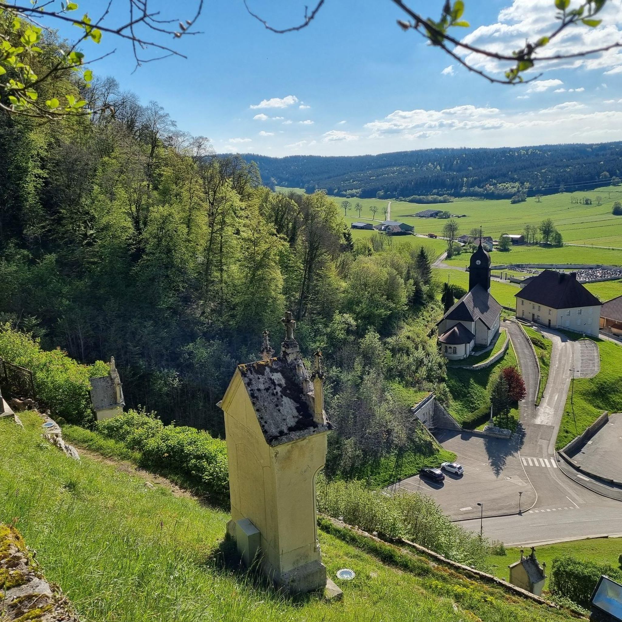
The Mont-Calvaire is a hill of Sombacour which entered the historical heritage thanks to its way of the cross punctuated by 14 stations. These stations are small buildings topped with a cross and commemorating the passion of Christ. In addition to the religious aspect of the place, the hill is also conducive to good vertical kilometer training for trail enthusiasts. Also, the view from the top is superb.
0
0
Frequently Asked Questions
How many running routes are available around Bians-Les-Usiers?
There are over 250 dedicated running routes in the Bians-Les-Usiers area, offering a wide variety of options for all fitness levels. These include easy forest paths, moderate loops, and more challenging trails with significant elevation gain.
Are there any easy or beginner-friendly jogging routes in the region?
Yes, the area offers several routes suitable for beginners or those looking for an easier run. For instance, the Running loop from Val-d'Usiers is a moderate 3.4-mile (5.5 km) path with a relatively flat profile, making it a good choice for a quicker, less strenuous run. You'll find around 11 routes classified as easy.
What kind of terrain can I expect on the running trails around Bians-Les-Usiers?
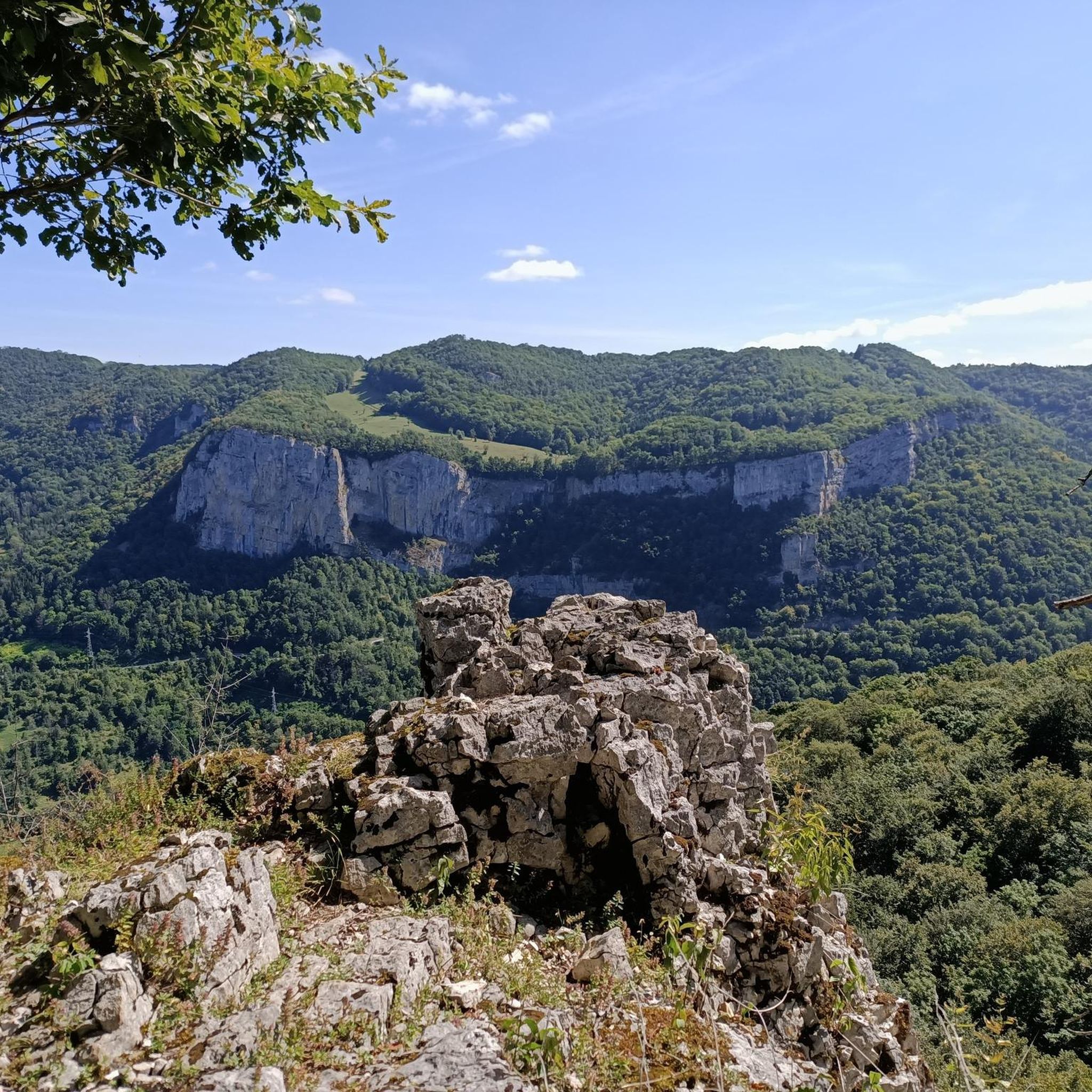
The terrain around Bians-Les-Usiers is incredibly diverse, ranging from gentle forest paths and riverside trails to more challenging ascents on hills like Mont-calvaire. You'll encounter a mix of natural surfaces, including dirt paths, gravel, and some paved sections, often winding through dense forests, past serene lakes, and alongside dramatic gorges.
Are there any challenging running trails for experienced runners?
Absolutely. For those seeking a challenge, the region offers over 60 difficult routes. The Le Mont-calvaire loop from Val-d'Usiers, for example, is a difficult 10.5-mile (16.9 km) trail with nearly 200 meters of elevation gain, providing an excellent workout amidst scenic views. Mont-calvaire itself is noted for its suitability for 'vertical kilometer' training.
Can I find circular running routes in Bians-Les-Usiers?
Yes, many of the running routes in the Bians-Les-Usiers area are designed as circular loops, allowing you to start and finish at the same point. A popular option is the Le Mont-calvaire loop from Goux-les-Usiers, a 6.4-mile (10.4 km) trail that takes you through varied terrain and returns to your starting point.
What natural attractions can I see while jogging in this region?
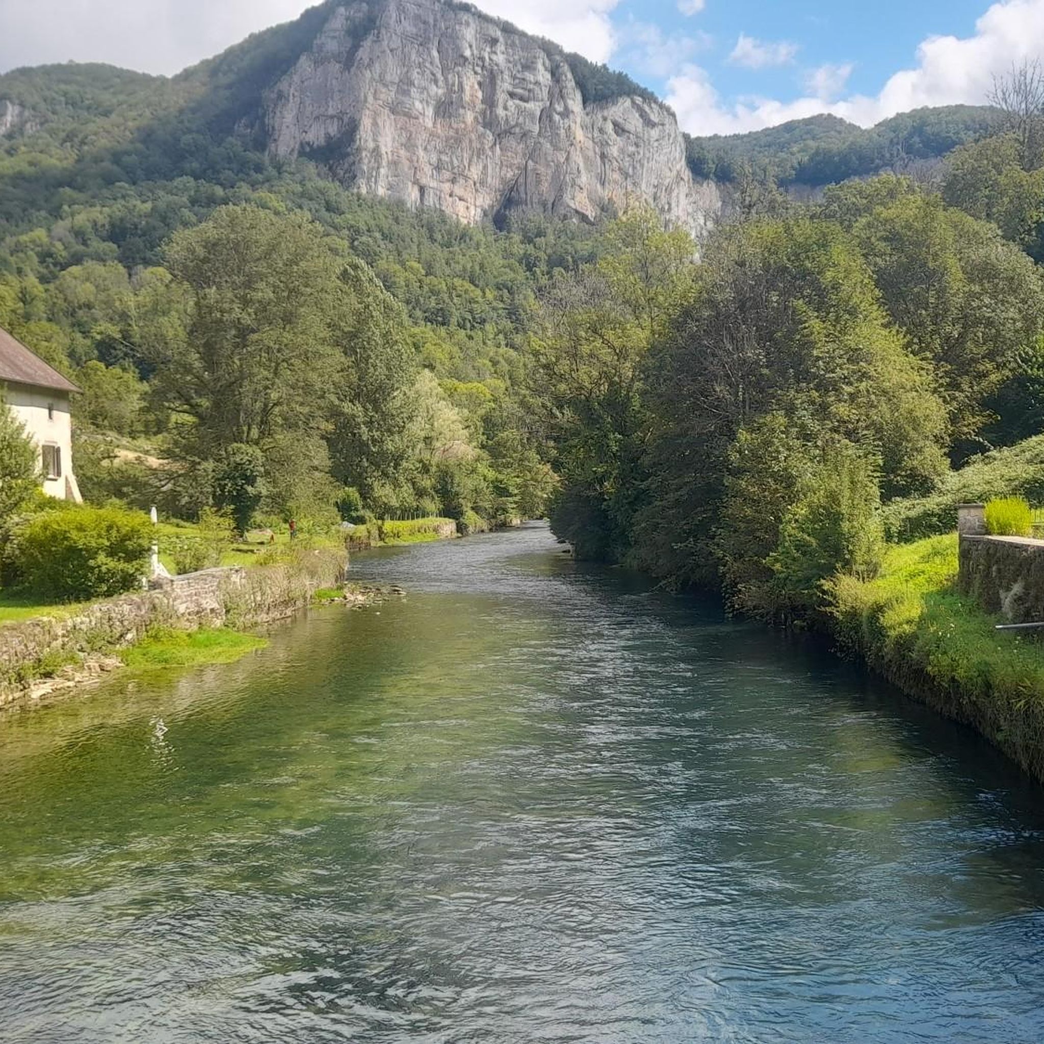
The Bians-Les-Usiers area is rich in natural beauty. You can discover impressive sites like the Source de la Loue, where the river emerges from a dramatic rock wall. Other highlights include the Gorges de Noailles, various waterfalls, and serene lakes such as Lac du Fioget and Lac de Narlay, providing picturesque backdrops for your run.
Are the running trails around Bians-Les-Usiers suitable for families?
Many trails are suitable for families, especially the easier and moderate routes that feature less elevation and smoother paths. Look for routes that pass through forests or along lakesides, which often provide a pleasant and safe environment for a family jog or walk. The dedicated Espace Trail Levier - Val d'Usiers also offers routes of varying difficulty.
What do other runners say about the trails in Bians-Les-Usiers?
The running routes in Bians-Les-Usiers are highly rated by the komoot community, with an average score of 4.2 stars from over 36 reviews. Runners often praise the diverse landscapes, the well-marked paths, and the opportunity to explore stunning natural features like gorges and forests.
Is there public transport access to the jogging routes?
While specific public transport routes directly to every trailhead might be limited, the region is part of the new commune of Val-d'Usiers, which may offer some local transport options. For detailed access, it's often best to check local bus schedules or consider driving to a starting point, as many routes are accessible from villages like Val-d'Usiers or Goux-les-Usiers.
Where can I park my car when accessing running routes?
Parking is generally available in the villages that serve as starting points for many routes, such as Val-d'Usiers and Goux-les-Usiers. For example, the marked 9 km circuit mentioned in the region research starts at the Sombacour church, implying parking availability in such village centers. Always look for designated parking areas to ensure convenience and respect local regulations.
Are there any specific 10k running routes in the area?
Yes, you'll find several routes that are approximately 10 kilometers (6.2 miles) in length, perfect for a 10k run. The Le Mont-calvaire loop from Goux-les-Usiers is a prime example, measuring 6.4 miles (10.4 km) and offering a moderate challenge.
What is the best time of year to go jogging in Bians-Les-Usiers?
The region offers beautiful running conditions throughout much of the year. Spring and autumn provide pleasant temperatures and vibrant scenery, with changing foliage or blooming wildflowers. Summer is also popular, though it's advisable to run in the mornings or evenings to avoid the midday heat. Winter can offer unique experiences on snow-covered trails, but be prepared for colder conditions and potentially icy paths.
Most popular routes around Bians-Les-Usiers
Most popular attractions around Bians-Les-Usiers

Get inspired with the komoot mobile app


Explore more
Browse the best Running Trails & Routes in other regions.
