The best running trails around Curis-Au-Mont-D'Or
4.3
(611)
28,441
runners
13
runs
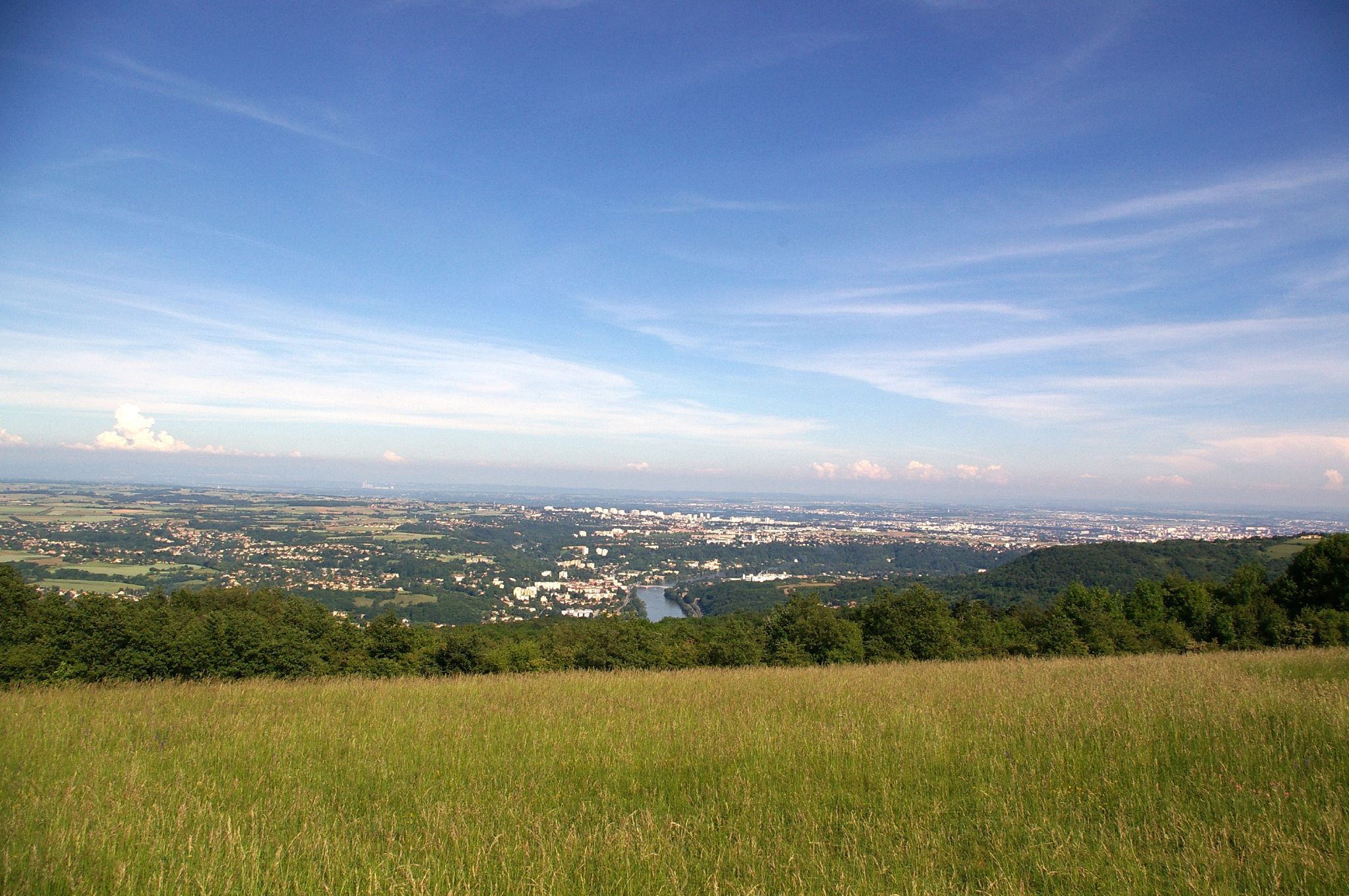
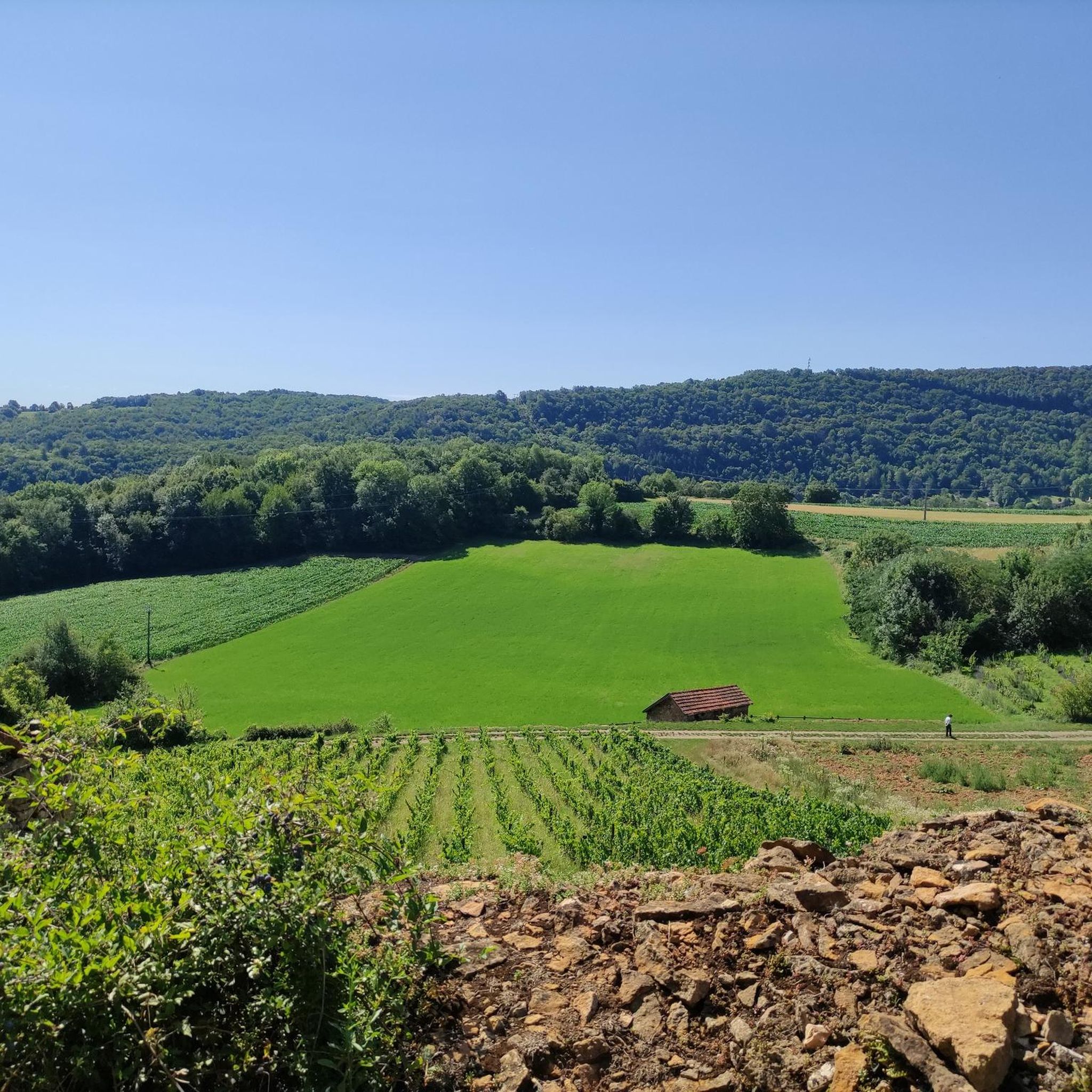
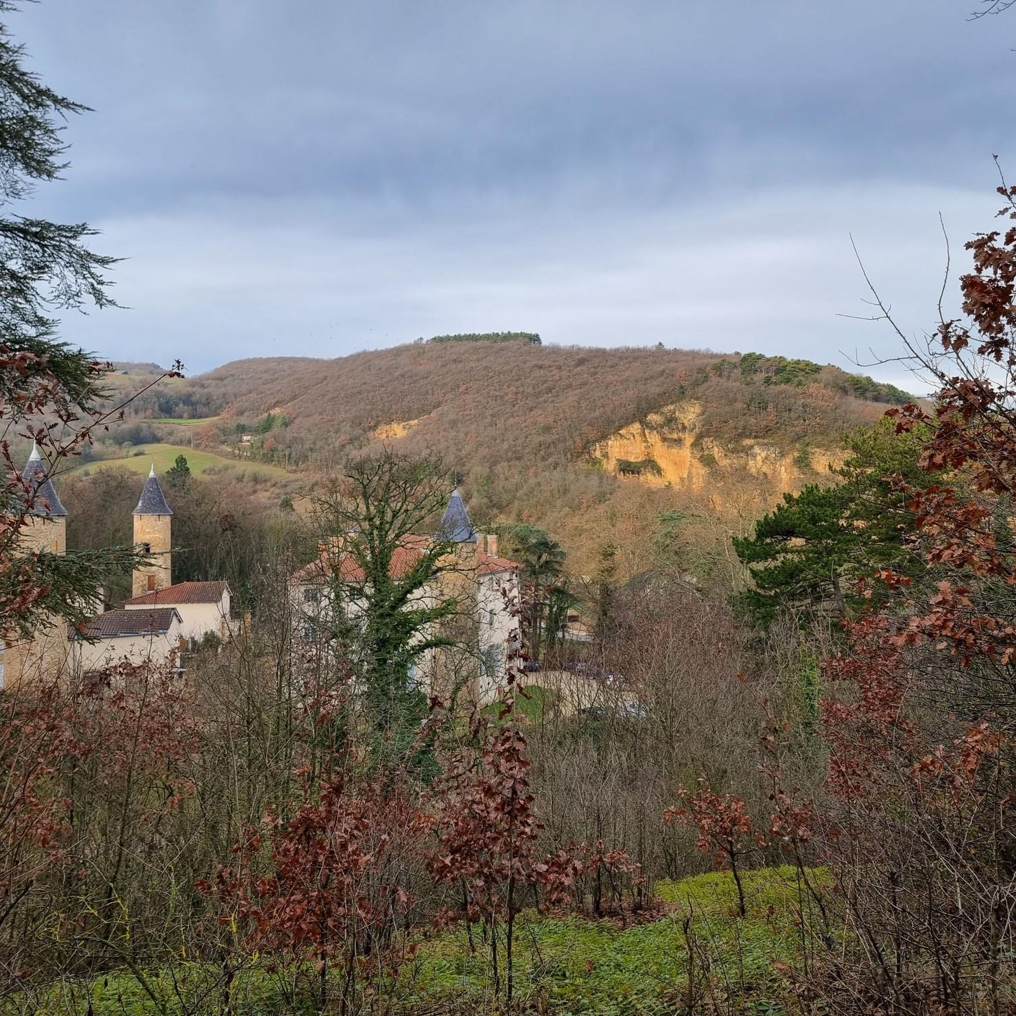
Jogging around Curis-Au-Mont-D'Or offers access to a diverse natural environment, with 70% of the municipality designated as green zones. The region is characterized by its hilly terrain, including the Monts d'Or, and features riverside paths along the Saône and Thou rivers. Runners can explore varied landscapes, from forests and vineyards to specific hills like Mont Thou, Mont Verdun, and Mont Py.
Best jogging routes around Curis-Au-Mont-D'Or
- The most popular jogging route is Croix de Rampau – Path With a View Over the Plain loop from Gare Albigny - Neuville, a 12.7 miles (20.4 km) trail that takes 2 hours 37 minutes to complete. This difficult route offers panoramic views over the plain.
- Another top favourite among local runners is Chemin de la Plage – Banks of the Saône loop from Gare Albigny - Neuville, a moderate 8.4 miles (13.6 km) path. This route follows the serene banks of the Saône river.
- Local runners also love the Winding Forest Path – Poleymieux windmill loop from Curis-au-Mont-d'Or, a 10.1 miles (16.3 km) trail leading through varied forest terrain towards the Poleymieux windmill, often completed in about 2 hours 3 minutes.
- Jogging around Curis-Au-Mont-D'Or is defined by hilly terrain, riverside paths along the Saône, and diverse forests. The network of running routes offers options for various ability levels, from moderate to difficult.
- The routes in Curis-Au-Mont-D'Or are highly rated by the komoot community with an average score of 4.4 stars from over 490 reviews. More than 26,000 runners have used komoot to explore Curis-Au-Mont-D'Or's varied terrain.
Last updated: October 9, 2026
4.7
(14)
382
runners
Hard run. Very good fitness required. Mostly paved surfaces. Suitable for all skill levels.
3.0
(1)
50
runners
16.1km
02:03
540m
540m
Hard run. Very good fitness required. Sure-footedness, sturdy shoes and alpine experience required.

5.0
(2)
80
runners
8.30km
01:05
360m
360m
Hard run. Very good fitness required. Mostly accessible paths. Some sure footedness required.
5.0
(2)
47
runners
11.6km
01:36
600m
600m
Hard run. Very good fitness required. Mostly paved surfaces. Suitable for all skill levels.
27
runners
12.0km
01:32
420m
420m
Hard run. Very good fitness required. Mostly paved surfaces. Suitable for all skill levels.
Get access to more routes and recommendations from other explorers.
Already have an account?
Our route recommendations are based on thousands of hikes, rides, and runs completed by other people on komoot.
Start today with a free account
Your next adventure awaits.


Other adventures around Curis-Au-Mont-D'Or

Tips from the Community

View towards the north and the Beaujolais. It is also a paragliding launch site.
0
0

I've done it several times and I always enjoy it the same way. Life is wonderful, but it's cold in winter 🥶
1
0

Beautiful view of Beaujolais
0
0


Very nice course
1
0

View of the Verdun, very rolling
0
0
Frequently Asked Questions
How many running routes are available in Curis-Au-Mont-D'Or?
There are over 15 dedicated running routes around Curis-Au-Mont-D'Or, catering to various fitness levels. These include a mix of easy, moderate, and difficult trails.
What kind of terrain can I expect on the jogging routes in Curis-Au-Mont-D'Or?
The region offers diverse terrain, from hilly paths within the Monts d'Or to serene riverside trails along the Saône and Thou rivers. You'll also find routes winding through forests and vineyards, providing a varied running experience.
Are there running routes suitable for beginners in Curis-Au-Mont-D'Or?
Yes, there is at least one easy running route available. Additionally, some moderate trails might be suitable for beginners looking for a slightly longer challenge, especially those along the riverbanks.
What do other runners say about the trails in Curis-Au-Mont-D'Or?
The running routes in Curis-Au-Mont-D'Or are highly rated by the komoot community, with an average score of 4.4 stars from over 490 reviews. Runners often praise the varied terrain, panoramic views, and well-maintained paths.
Are there any jogging routes that offer panoramic views?
Absolutely! Many routes in the Monts d'Or region provide magnificent views. For example, the Croix de Rampau – Path With a View Over the Plain loop offers extensive vistas. You can also find great viewpoints from areas like Mont Thou and Mount Cindre.
Can I find routes along the riverbanks in Curis-Au-Mont-D'Or?
Yes, the banks of the Thou and Saône rivers offer serene and relaxing routes. A popular option is the Chemin de la Plage – Banks of the Saône loop, which follows the tranquil Saône river.
Are there any historical or cultural landmarks to see while running?
Yes, the area has a rich 'high perched heritage'. You might encounter old wash houses along trails leading to Mont Thou, Mont Verdun, and Mont Py. The Croix de Rampau is another notable landmark. For more historical context, you can explore the nearby Rochetaillée-sur-Saône Castle or Fétan Castle.
Are there any forest trails for running in the area?
Curis-Au-Mont-D'Or is rich in green zones and forests. The Winding Forest Path – Poleymieux windmill loop is a great example, leading through varied forest terrain towards the Poleymieux windmill.
Is public transport available to access running trails in Curis-Au-Mont-D'Or?
Some routes, like the Croix de Rampau loop and Chemin de la Plage loop, start from Gare Albigny - Neuville, suggesting public transport access points. It's advisable to check local transport schedules for specific connections to trailheads.
Are there any circular running routes in Curis-Au-Mont-D'Or?
Yes, many of the running routes in the area are designed as loops, allowing you to start and finish at the same point. Examples include the La Croix Vitaise Viewpoint – Mont Thou loop and the Mont Thou – view loop.
Can I bring my dog on the running trails in Curis-Au-Mont-D'Or?
While many natural areas in France are dog-friendly, it's always recommended to keep your dog on a leash, especially in protected green zones or near wildlife. Check local signage for specific regulations on individual trails.
Are there family-friendly jogging routes in Curis-Au-Mont-D'Or?
The region offers a range of routes, and while many are moderate to difficult, the easier, flatter sections along the riverbanks or within the 30-hectare Parc de Curis could be suitable for families looking for a gentle jog or walk.
Most popular routes around Curis-Au-Mont-D'Or
Most popular attractions around Curis-Au-Mont-D'Or

Get inspired with the komoot mobile app


Explore more
Browse the best Running Trails & Routes in other regions.
