The best walks and hikes around Montels
4.6
(284)
1,481
hikers
113
hikes
Hiking around Montels offers a network of trails primarily characterized by its flat plains and the presence of historic canals, such as the Canal du Midi and the Robine Canal. The terrain features minimal elevation changes, making many routes accessible. The landscape includes open views of agricultural areas and waterside paths.
Best hiking trails around Montels
- The most popular hiking route is Malpas Tunnel – Beautiful view of the plain loop from Poilhes, a 9.0 miles (14.6 km) trail…
Last updated: July 5, 2026
4.6
(19)
113
hikers
14.6km
03:53
170m
170m
Moderate hike. Good fitness required. Easily-accessible paths. Suitable for all skill levels.
5.0
(1)
10
hikers
5.42km
01:23
20m
20m
Easy hike. Great for any fitness level. Easily-accessible paths. Suitable for all skill levels.

Sign up for free
4.0
(1)
16
hikers
16.6km
04:11
30m
30m
Moderate hike. Good fitness required. Easily-accessible paths. Suitable for all skill levels.
5.0
(2)
6
hikers
12.8km
03:18
60m
60m
Moderate hike. Good fitness required. Easily-accessible paths. Suitable for all skill levels.
5.0
(1)
10
hikers
9.73km
02:35
100m
100m
Moderate hike. Good fitness required. Easily-accessible paths. Suitable for all skill levels.
Get access to more routes and recommendations from other explorers.
Sign up for free
Already have an account?
Our route recommendations are based on thousands of hikes, rides, and runs completed by other people on komoot.
Start today with a free account
Your next adventure awaits.
Login or Signup
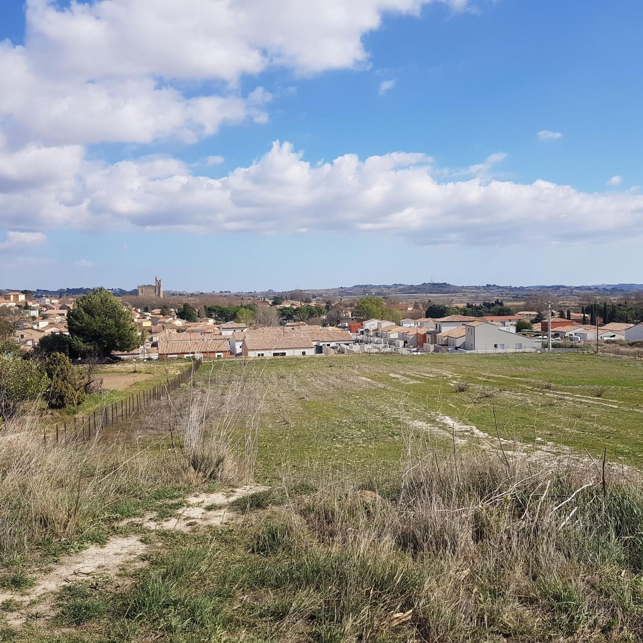
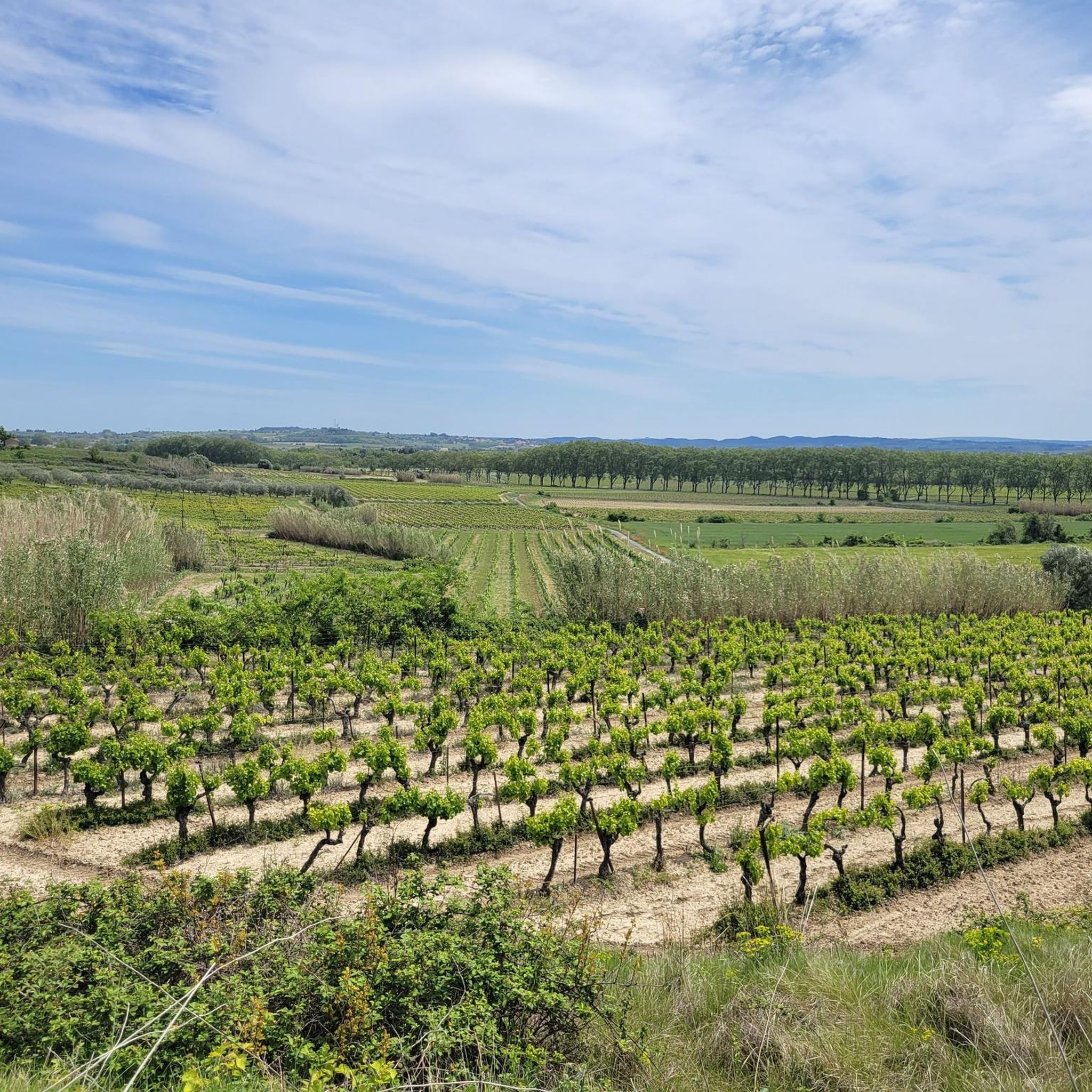

Tips from the Community

The Montady pond is a former pond, drained during the Middle Ages, located in the western part of the French department of Hérault, between Béziers and Narbonne. Thanks to drainage canals, the water is channeled towards a central collector, which explains the star-shaped layout of the fields and vineyards. This canal system dates back to the 13th century. Sixty drainage ditches converge at the circular ditch, called the Redondel, in the center of the former pond. The water is then carried away by a counter-sloping ditch towards the Capestang pond and through a tunnel under the Ensérune hill and the Malpas tunnel. The tunnel is located at a depth of 29.5 meters below the Malpas pass and 16 meters below the Canal du Midi tunnel. The pond is visible from the Montady tower, a remnant of the former 12th-century castle, and from the top of the hill, the Ensérune oppidum. Heavy rainfall, like that at the end of October 2019, can cause it to reappear. (Wikipedia)
0
0
With its tree-lined squares, fountains, and narrow streets, Capestang is a lively village with a typical Mediterranean atmosphere. The village is located just twenty kilometers from the sea. Who would suspect, passing through, that its fate was long linked to the harvesting of sea salt? Indeed, the pond that gave it its name, "Lou Cap de l'estang" (meaning "the head of the pond"), brought wealth to the town around the 14th century. Largely dried up today, it is reborn with the rains and floods, creating a protected wetland landscape classified as a Natura 2000 site, where various species of birds and flamingos come to nest. Thanks to its salt marshes, its fertile land, and its geographical location at the crossroads of trade routes, Capestang experienced its golden age in the Middle Ages. From this rich historical past remain unique monuments that make Capestang such a singular city, where life is good.
1
0

Narbonne has more to offer than this mundane sign.
4
0


The ruins of an old building at the Bishops of NARBONNE. An imposing place ideal for a break during a bike ride.
0
0


The cathedral is closed at lunchtime, it is a very unusual building as the nave was never built!
1
1

The former cathedral and today's minor basilica has had the status of a monument historique in France since 1840. With its 41 meter choir height, it is one of the highest in France.
1
1
Frequently Asked Questions
What is the typical length and difficulty of hiking trails in Montels?
Hiking trails around Montels vary in length, with options ranging from shorter paths like the Foncalvy – Abbaye de Foncalvy loop from Ouveillan at 3.4 miles (5.4 km) to longer routes such as the Robine Canal in Narbonne loop from Cuxac-d'Aude, which is 10.3 miles (16.6 km). The terrain is generally flat with minimal elevation changes, making many routes accessible. Out of 99 total tours, 39 are considered easy, 58 moderate, and only 2 difficult.
Are there easy or family-friendly hiking options in Montels?
Yes, Montels offers many easy and family-friendly hiking options due to its flat plains and canal-side paths. Routes like the Foncalvy – Abbaye de Foncalvy loop from Ouveillan are particularly suitable, exploring the area with minimal elevation changes. The gentle gradients make these trails enjoyable for all ages.
Can I bring my dog on the hiking trails in Montels?
Many of the canal-side paths and open trails around Montels are suitable for dogs, provided they are kept on a leash. The flat terrain makes for pleasant walks with your canine companion. Always ensure to respect local regulations and clean up after your pet.
When is the best time of year to hike around Montels?
The Montels region, with its low elevation and open landscapes, is generally pleasant for hiking for much of the year. Spring and autumn offer mild temperatures and beautiful scenery, while summer can be warm, making early morning or late afternoon hikes ideal. Winter hiking is also possible, especially on clear, dry days, as the trails remain accessible.
Are there circular hiking routes available in Montels?
Yes, many of the popular routes in Montels are circular, allowing you to start and end at the same point. Examples include the Malpas Tunnel – Beautiful view of the plain loop from Poilhes and the The Canal du Midi – Canal du Midi Capestang loop from Poilhes, which offer convenient exploration of the area's canals and plains.
What kind of gear or clothing should I wear for hiking in Montels?
Given the generally flat terrain and open plains, comfortable walking shoes are usually sufficient. During warmer months, light, breathable clothing, a hat, and sun protection are recommended. For cooler or wetter conditions, layers and a waterproof jacket are advisable. Always carry enough water, especially on longer routes.
What can I see along the hiking trails around Montels?
Hiking around Montels offers views of agricultural areas, historic canals like the Canal du Midi and the Robine Canal, and charming waterside paths. Notable points of interest include the Malpas Tunnel, the Junction of the Canal du Midi and the Canal de la Robine, and the Etang de Montady viewpoint, offering unique insights into the region's history and landscape.
Are there any challenging hikes in the Montels area?
While Montels is primarily known for its flat plains and canal-side paths, there are a few routes that offer a slightly more challenging experience, often due to their length rather than significant elevation. Out of nearly 100 tours, 2 are rated as difficult, and 58 are moderate, providing options for those seeking a longer or more strenuous walk within the region's characteristic low-gradient terrain.
Where can I find the best viewpoints on hikes around Montels?
For scenic views, consider routes that pass by the Etang de Montady viewpoint, which offers expansive vistas of the unique circular former lakebed. The Malpas Tunnel – Beautiful view of the plain loop from Poilhes also provides excellent perspectives of the surrounding plains.
What do other hikers enjoy the most about hiking in Montels?
The area is highly rated by the komoot community, with an average score of 4.6 stars from over 250 reviews. Reviewers often praise the tranquil canal-side paths, the historical significance of sites like the Malpas Tunnel, and the accessibility of the trails for various fitness levels. The open views of the agricultural landscape are also frequently highlighted.
Are there places to eat or drink near the hiking trails in Montels?
While Montels itself is a smaller community, the hiking trails often pass through or near charming villages and towns along the canals, such as Poilhes or Cuxac-d'Aude. These locations may offer cafes, restaurants, or small shops where you can find refreshments. It's always a good idea to check opening hours and plan your stops in advance, especially in more rural sections.
Is parking available at the trailheads in Montels?
For many popular hiking routes around Montels, especially those starting from villages like Poilhes or Ouveillan, you can typically find public parking areas. However, specific parking availability can vary by trailhead. It's advisable to check the details for your chosen route on komoot, as users often provide information about parking in their tour descriptions or comments.
Most popular attractions around Montels

Get inspired with the komoot mobile app


Explore more
Browse the best Hikes in other regions.
