The best running trails around Causse-De-La-Selle
4.5
(97)
3,979
runners
157
runs
Jogging around Causse-De-La-Selle offers routes across a distinctive limestone plateau, characterized by its rugged terrain and deep valleys. The region features significant elevation changes, with many trails ascending through rocky landscapes and past natural springs. Runners can expect a mix of open, exposed sections and paths winding through more sheltered areas, providing varied conditions for running.
Best jogging routes around Causse-De-La-Selle
- The most popular jogging route is Peyre Martine Trail, a 10.0 miles (16.1 km) trail that takes 2…
Last updated: October 11, 2026
5.0
(1)
56
runners
16.1km
02:12
840m
840m
Jog the difficult Peyre Martine Trail, a 10.0-mile route with 2756 feet of elevation gain and panoramic views from its summit.
61
runners
25.4km
03:52
1,370m
1,370m
Hard run. Very good fitness required. Mostly paved surfaces. Suitable for all skill levels.

5.0
(1)
32
runners
12.4km
01:54
610m
610m
Hard run. Very good fitness required. Sure-footedness, sturdy shoes and alpine experience required.
29
runners
43.9km
06:13
1,750m
1,750m
Hard run. Very good fitness required. Sure-footedness, sturdy shoes and alpine experience required.
37
runners
12.3km
01:53
650m
650m
Hard run. Very good fitness required. Mostly paved surfaces. Suitable for all skill levels.
Get access to more routes and recommendations from other explorers.
Already have an account?
Our route recommendations are based on thousands of hikes, rides, and runs completed by other people on komoot.
Start today with a free account
Your next adventure awaits.

Tips from the Community

A great village, with winding alleyways where it's pleasant to get lost.
0
0
A magical place, ideal for taking a break by the water.
0
0

A view that's well-earned, but incredible! I arrived via the Northwest trail, and I had to push a bit to reach the summit. I don't know if this spot is accessible from the south by mountain bike; this southern trail is mapped on Komoot but not on IGN.
0
0

magnificent waterfalls, a must-see
1
0

A really nice spot. Not as high as the ROC BLANC, but almost prettier, with a much more pleasant hike. The path to get there is nice, although steep, with a good difference in altitude! The descent is moderately gentle, but few surprises. In short, a pleasant summit, where it is good to spend time! BE CAREFUL, once at the top, to get to the "cornice", an 8/10m hole is almost at the edge of the path. Watch your feet.
2
0
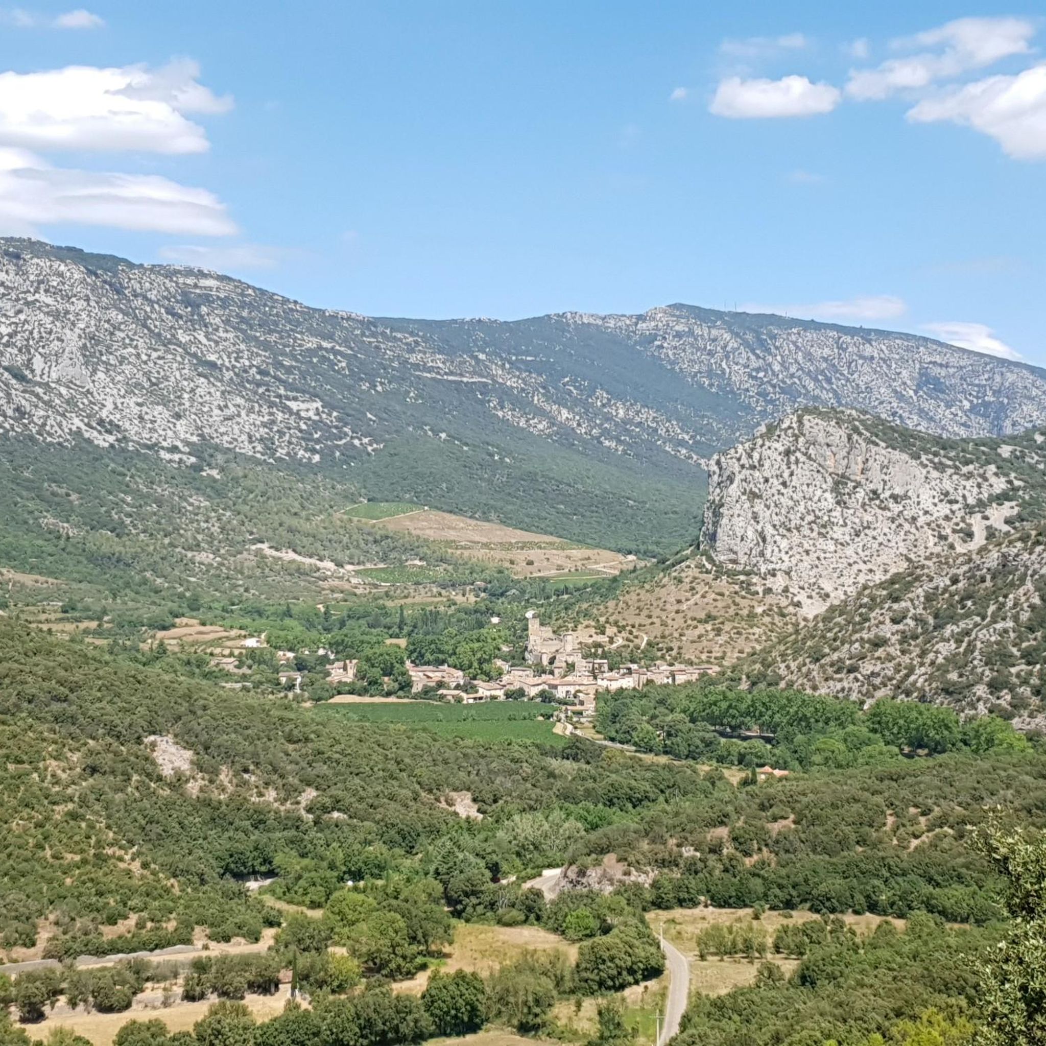
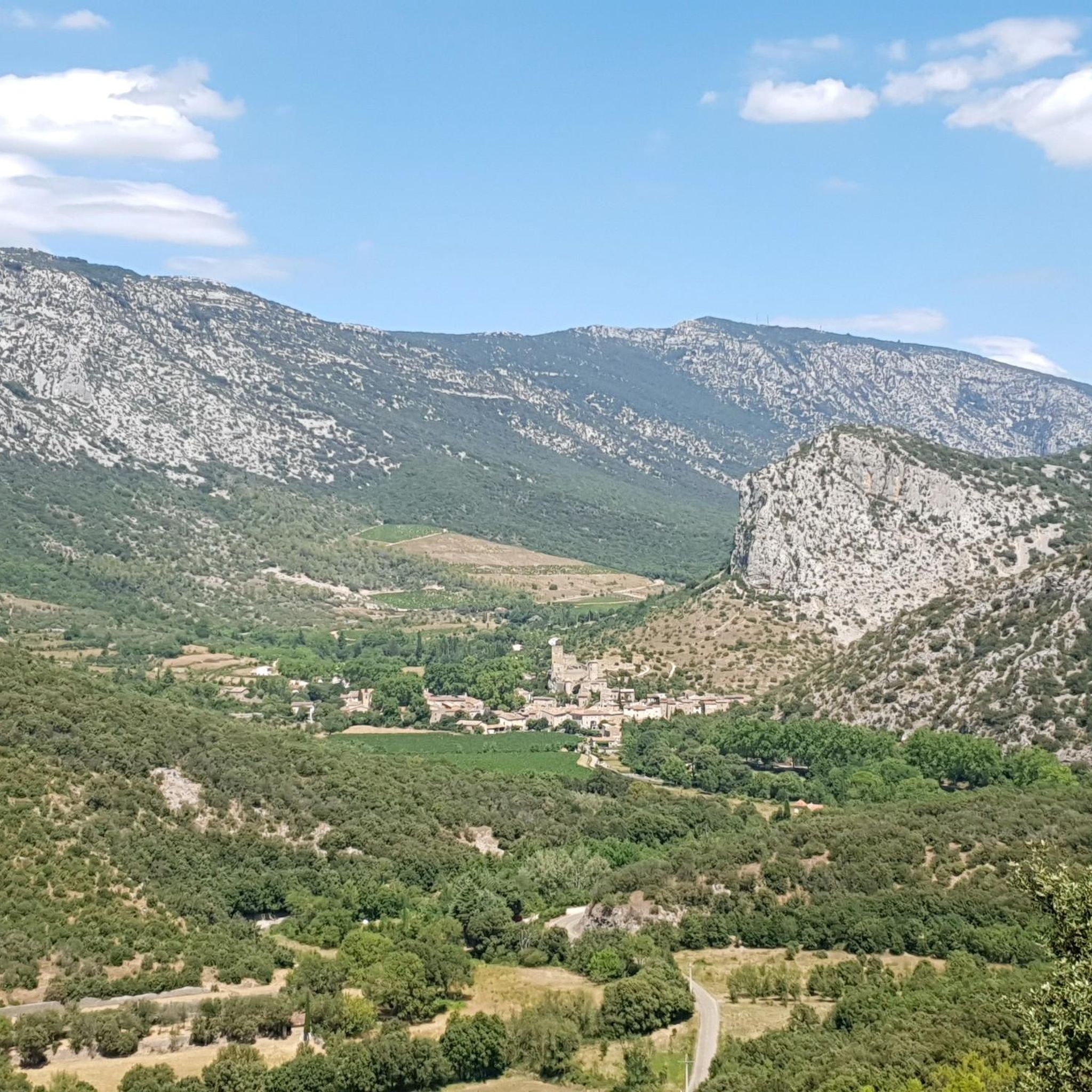
A pretty little village at the foot of the Séranne!
1
0
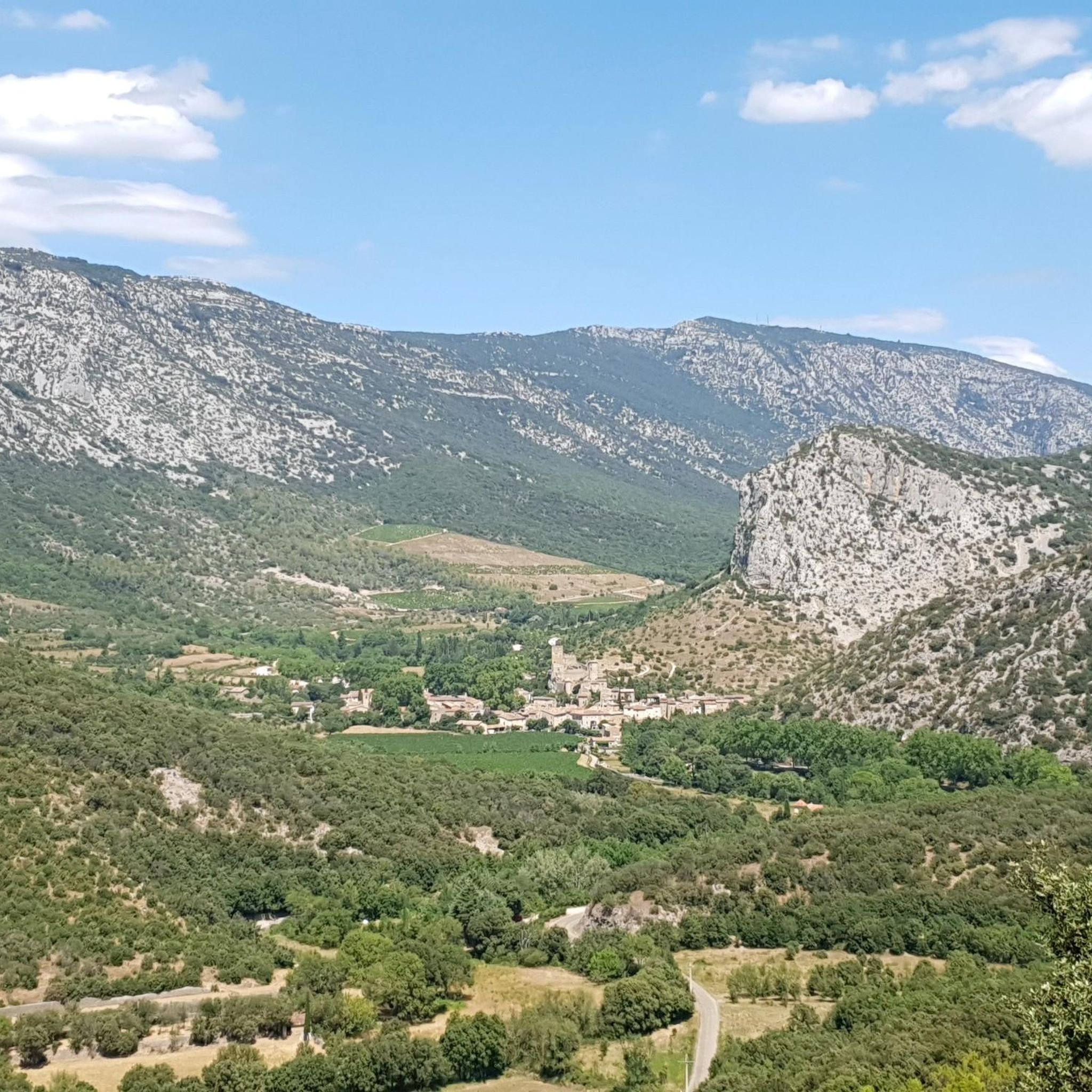
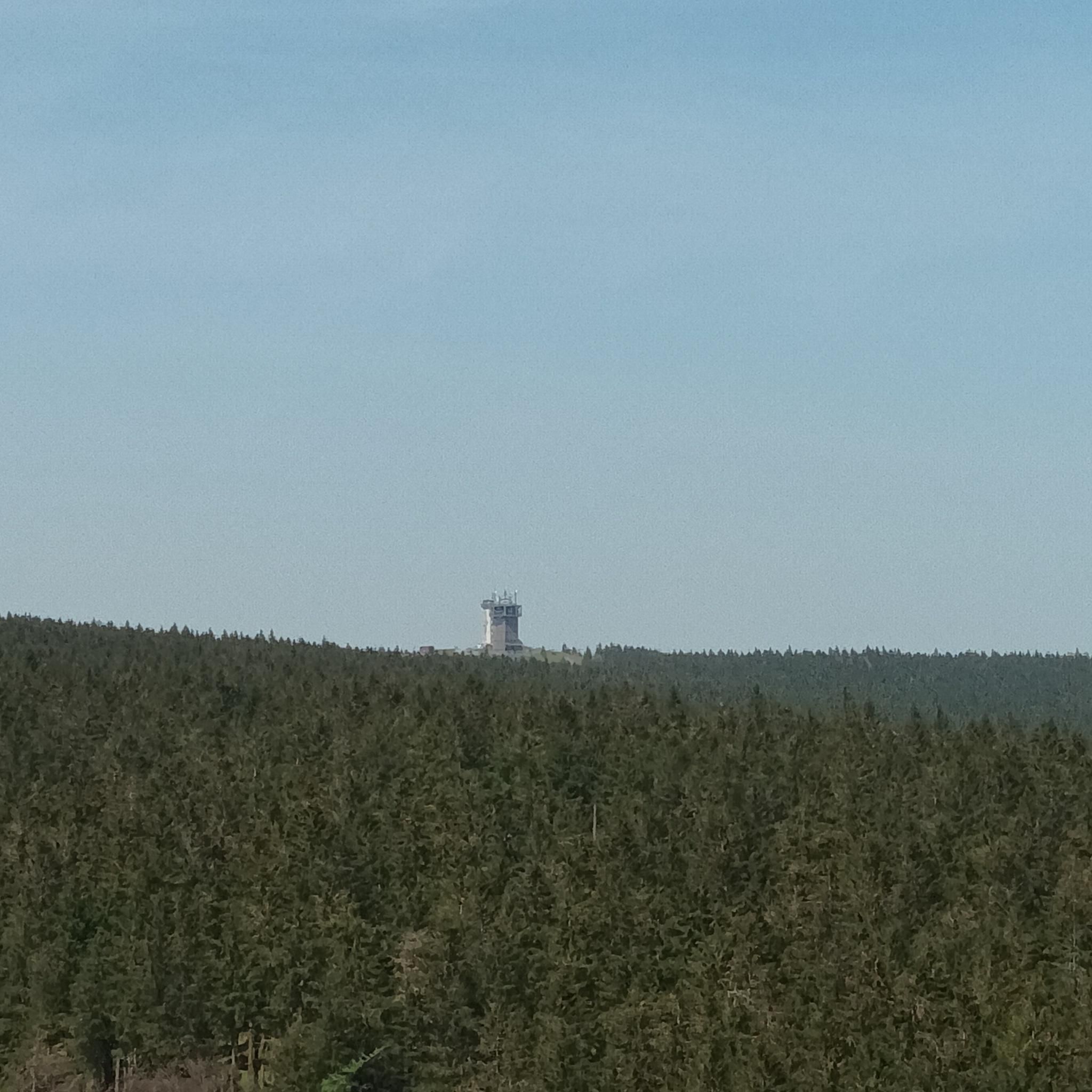
At this point, you can easily see, in the distance, the Pic Saint Loup (658m) & the Hortus (512m). You are, despite appearances, above, at about 760m altitude.
0
0
Frequently Asked Questions
How many running routes are available in Causse-De-La-Selle?
There are over 150 running routes around Causse-De-La-Selle, offering a wide range of options for different skill levels and preferences. The komoot community has explored more than 3800 of these trails.
Are there easy running routes in Causse-De-La-Selle?
While many routes in Causse-De-La-Selle are challenging due to the rugged limestone terrain and significant elevation changes, there are a few easier options available. You can find approximately 3 routes classified as easy, though most are moderate to difficult.
What kind of terrain can I expect on the running trails?
Runners in Causse-De-La-Selle can expect a distinctive limestone plateau characterized by rugged terrain, deep valleys, and significant elevation changes. Trails often ascend through rocky landscapes and past natural springs, with a mix of open, exposed sections and paths winding through more sheltered areas.
Are there any long-distance running trails in the region?
Yes, Causse-De-La-Selle offers several long-distance running trails. For example, the Peyre Martine – Source of the Buèges loop from Saint-André-de-Buèges is a challenging 44 km route, perfect for those looking for an extended run through the varied landscape.
Can I find circular running routes in Causse-De-La-Selle?
Many of the running routes in Causse-De-La-Selle are designed as loops, allowing you to start and finish at the same point. A popular example is the Buèges Spring – Saint-Jean-de-Buèges loop from Pégairolles-de-Buèges, which explores the scenic Buèges valley.
What natural attractions can I see along the running routes?
The region is rich in natural beauty. Along the trails, you might encounter the stunning Buèges Spring, the dramatic Cirque de l'Infernet, or the impressive The Fairy Cave. Many routes also offer views of various peaks like Peyre Martine Summit.
What do other runners say about the trails in Causse-De-La-Selle?
The running trails in Causse-De-La-Selle are highly rated by the komoot community, with an average score of 4.2 stars from over 60 reviews. Runners often praise the challenging nature of the routes, the stunning limestone landscapes, and the rewarding views from various viewpoints.
Are there any running routes that offer panoramic viewpoints?
Absolutely. Given the region's rugged topography, many trails lead to or pass by excellent viewpoints. Peaks like Mont Saint-Baudille Summit and Vine Rock are accessible via running routes and offer expansive vistas of the surrounding Causse landscape.
Is Causse-De-La-Selle suitable for challenging trail running?
Yes, Causse-De-La-Selle is particularly well-suited for challenging trail running. A significant number of routes (69 out of 153) are classified as difficult, featuring substantial elevation gains and rugged terrain. The Peyre Martine Trail is a prime example, known for its demanding climbs through the Causse.
What is the best time of year to go running in Causse-De-La-Selle?
Spring and autumn are generally ideal for running in Causse-De-La-Selle, offering pleasant temperatures and vibrant scenery. Summers can be hot, making early morning or late afternoon runs preferable, while winters are typically mild but can have occasional cold snaps, especially at higher elevations.
Are dogs allowed on the running trails?
Most outdoor trails in the Causse-De-La-Selle region are dog-friendly, provided your dog is well-behaved and kept on a leash, especially in areas with livestock or protected wildlife. Always ensure you carry enough water for both yourself and your pet, as natural water sources can be seasonal.
Are there running routes suitable for families with children?
While many routes are challenging, families looking for a run with children might consider some of the easier or shorter sections of trails, focusing on areas with less elevation gain. It's best to check individual route descriptions for suitability and consider the rugged nature of the terrain.
Most popular routes around Causse-De-La-Selle
Most popular attractions around Causse-De-La-Selle

Get inspired with the komoot mobile app


Explore more
Browse the best Running Trails & Routes in other regions.
