The best walks and hikes around Claret
4.4
(1261)
9,648
hikers
24
hikes
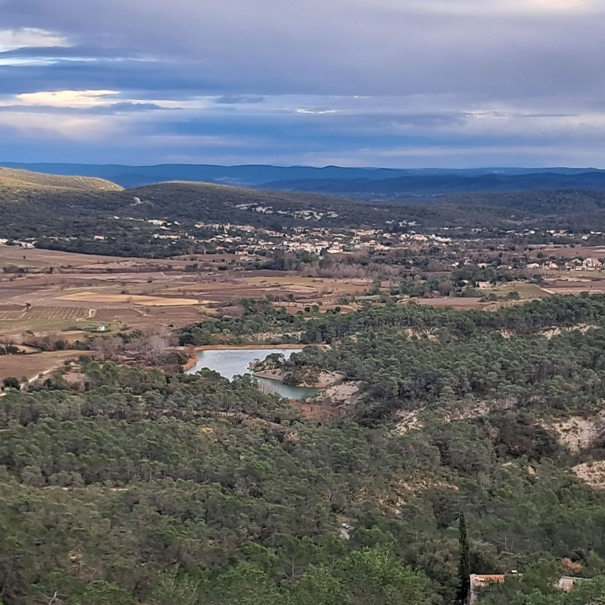
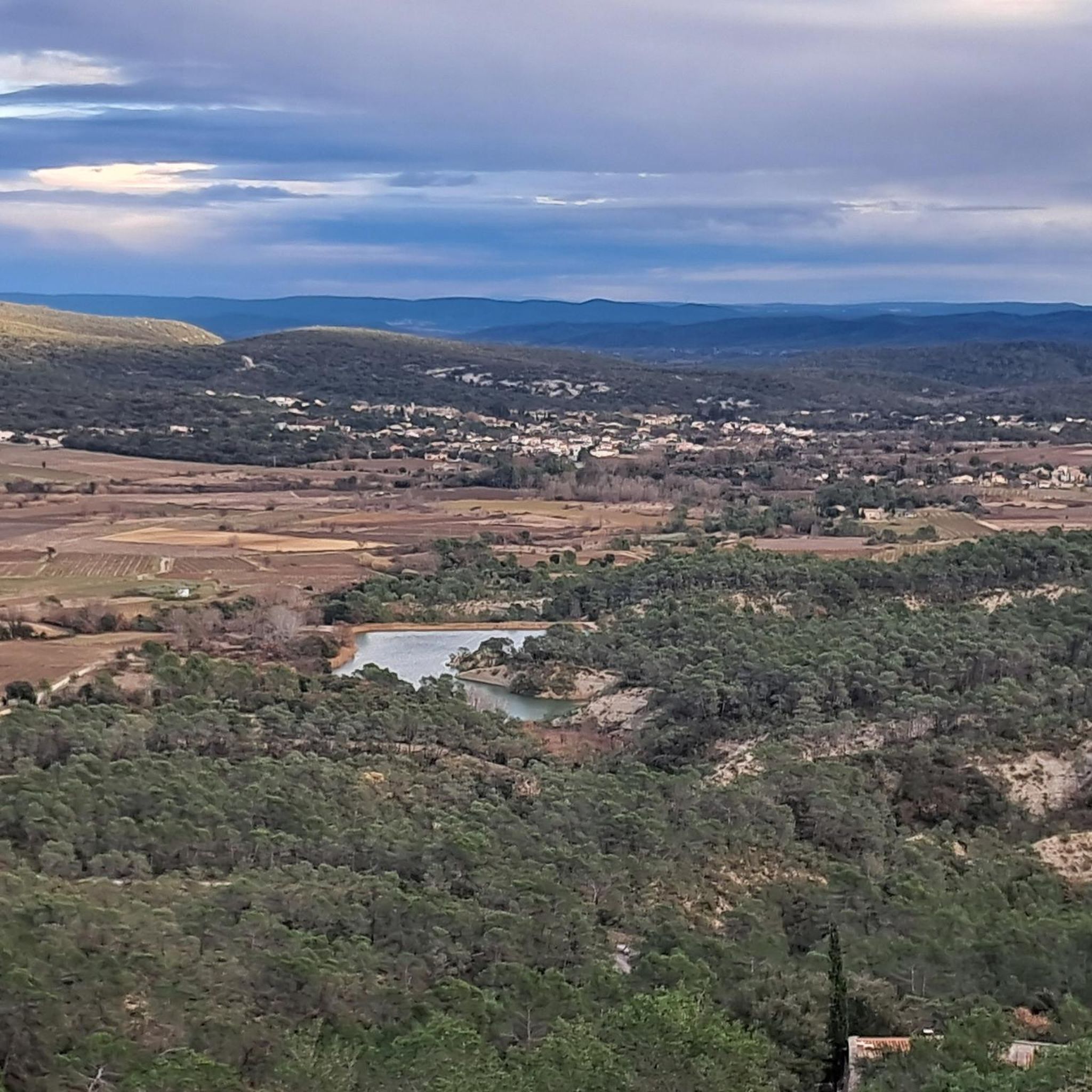
Hiking around Claret offers routes through varied terrain, characterized by rocky outcrops and hills such as the Rocher du Causse and views towards Pic Saint-Loup. The area features paths that traverse natural landscapes, often incorporating historical landmarks like chapels and ancient oppida. Elevation changes are common, providing a range of hiking experiences.
Best hiking trails around Claret
- The most popular hiking route is Le Rocher du Causse – loop from Lauret, a 6.3 miles (10.1 km) trail that takes…
Last updated: June 25, 2026
4.6
(17)
54
hikers
10.1km
02:55
260m
250m
Moderate hike. Good fitness required. Easily-accessible paths. Suitable for all skill levels.
3.8
(6)
37
hikers
16.9km
04:54
430m
430m
Moderate hike. Good fitness required. Easily-accessible paths. Suitable for all skill levels.

Sign up for free
4.4
(20)
111
hikers
Moderate hike. Good fitness required. Mostly accessible paths. Sure-footedness required.
4.3
(17)
113
hikers
16.4km
04:43
390m
390m
Moderate hike. Good fitness required. Easily-accessible paths. Suitable for all skill levels.
3.8
(4)
10
hikers
10.9km
03:14
320m
310m
Moderate hike. Good fitness required. Easily-accessible paths. Suitable for all skill levels.
Get access to more routes and recommendations from other explorers.
Sign up for free
Already have an account?
Our route recommendations are based on thousands of hikes, rides, and runs completed by other people on komoot.
Start today with a free account
Your next adventure awaits.
Login or Signup
Tips from the Community

A truly surprising and magnificent place! Waterproof shoes are recommended.
0
0
A very nice place with several places to rest.
0
0
A calm and relaxing place with many spots to take a break… if there are no fishermen!
1
0
A magical and magnificent place not to be missed! Waterproof shoes recommended!
0
0

In our opinion, the path there is very difficult and by no means easy. You need to be a good walker. Not recommended for dogs. We were lucky that we were able to carry our dog.
0
0

Many churches in France, including this chapel, are dedicated to the Virgin Mary under the widely used title "Notre-Dame" (in German: "Our Dear Lady"). A brief reflection on the Mother of God from Albino Luciani (Pope John Paul I): "Mary is truly our sister, as Saint Ambrose says. She lived a life very similar to ours. It is, of course, beautiful to venerate Mary as the Virgin and Mother of God, as the one conceived immaculately from original sin and assumed into heaven; but she is also the Madonna of plates, brooms, and cooking pots..." Visitors to this small but highly prominent Marian shrine can decide for themselves which "Notre-Dame" they wish to venerate here.
0
0

Superb viewpoint at the summit
0
0

From the beginning of the hike from Corconne, we "climb" a small piece of cliff, via a few blocks, or by taking iron steps in places. Recently, a cable has been added to help you progress if necessary. Easy access, but slippery. The arch under our head is truly superb!
2
0
Frequently Asked Questions
How many hiking trails are available around Claret?
There are over 20 hiking trails around Claret, offering a diverse range of experiences. You'll find options for all skill levels, including 7 easy routes, 13 moderate trails, and 2 more challenging hikes.
What kind of terrain can I expect on hikes near Claret?
Hiking around Claret is characterized by varied terrain, including rocky outcrops and hills such as the Rocher du Causse. Many paths traverse natural landscapes and feature elevation changes, providing a dynamic hiking experience. You can also expect views towards prominent features like Pic Saint-Loup.
Are there any family-friendly hiking options in Claret?
Yes, Claret offers several easier routes suitable for families. While specific family-friendly amenities might vary, the area has 7 easy trails that are generally shorter and less strenuous, making them a good choice for outings with children. Always check individual route details for suitability.
Can I bring my dog on the hiking trails around Claret?
Many hiking trails in natural areas like Claret are generally dog-friendly, but it's always recommended to keep your dog on a leash, especially in areas with wildlife or livestock. Please check local regulations or specific trail information for any restrictions before you go.
What are some notable landmarks or natural features to see while hiking near Claret?
The trails around Claret offer views of significant natural features like the Rocher du Causse and panoramic vistas towards Pic Saint-Loup. You can also explore historical landmarks such as ancient oppida and chapels. For specific highlights, consider visiting the Summit of Saint-Loup or exploring some of the caves around Claret, such as the Aven of Sauve.
Are there any circular walks available around Claret?
Yes, many of the popular routes around Claret are circular, allowing you to start and end at the same point. An example is the View of Pic Saint-Loup – Oppidum of Rocher du Causse loop from Claret, which offers both scenic views and historical interest.
What do other hikers say about the trails in Claret?
The hiking routes in Claret are highly rated by the komoot community, with an average score of 4.36 stars from over 1100 reviews. Hikers often praise the varied terrain, the historical landmarks, and the panoramic views, particularly towards Pic Saint-Loup.
Are there any challenging hikes for experienced hikers?
Yes, for experienced hikers seeking a challenge, there are 2 difficult trails around Claret. These routes typically feature more significant elevation changes and potentially longer distances, providing a more strenuous workout. Always check the specific details and difficulty grade of a route before attempting it.
What is the longest hiking trail around Claret?
One of the longer routes you can explore is The Bridge of Chance – Notre-Dame du Château Chapel loop from Claret, which is approximately 10.5 miles (16.9 km) long and takes around 4 hours 54 minutes to complete. This moderate route combines natural scenery with historical points of interest.
What kind of views can I expect on the trails?
Many trails around Claret offer impressive views, particularly of the surrounding hills and the iconic Pic Saint-Loup. For instance, the Oppidum of Rocher du Causse – View of Pic Saint-Loup loop from Lauret is known for its panoramic vistas.
Are there any historical sites along the hiking paths?
Yes, the hiking trails around Claret often incorporate historical landmarks. You can expect to encounter ancient oppida and chapels, adding a cultural dimension to your outdoor adventure. Routes like Oppidum of Rocher du Causse – View of Pic Saint-Loup loop from Domaine du Mas Neuf are good examples of trails that pass by such sites.
Most popular attractions around Claret

Get inspired with the komoot mobile app


Explore more
Browse the best Hikes in other regions.
