The best walks and hikes around Sarrageois
4.6
(1742)
14,263
hikers
285
hikes
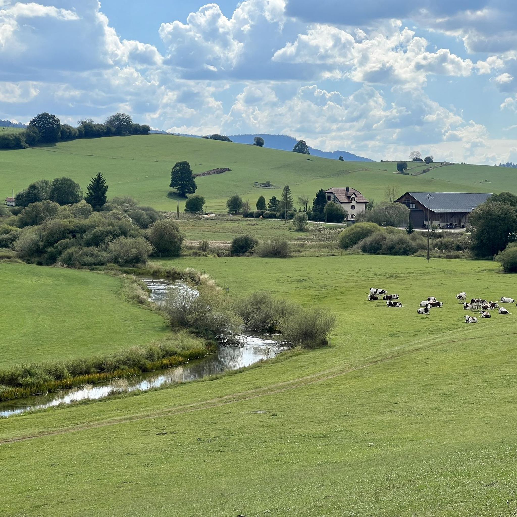
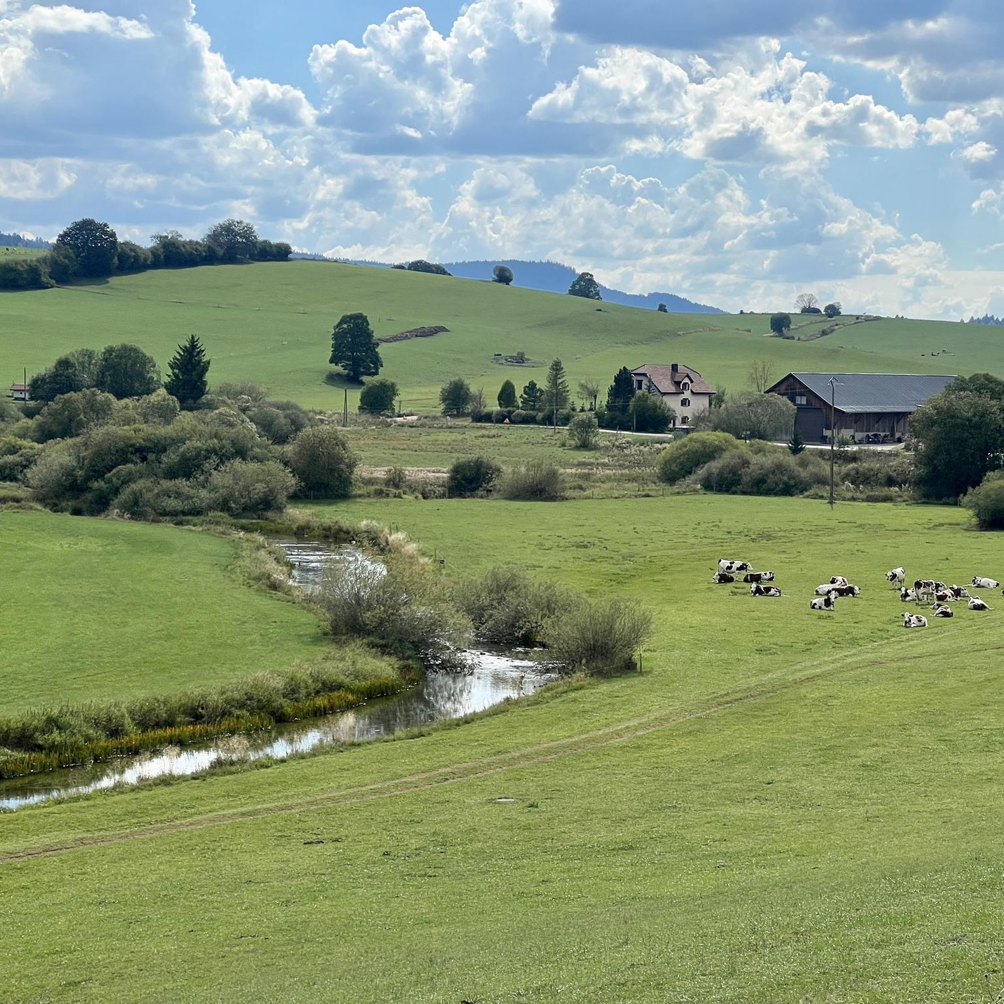
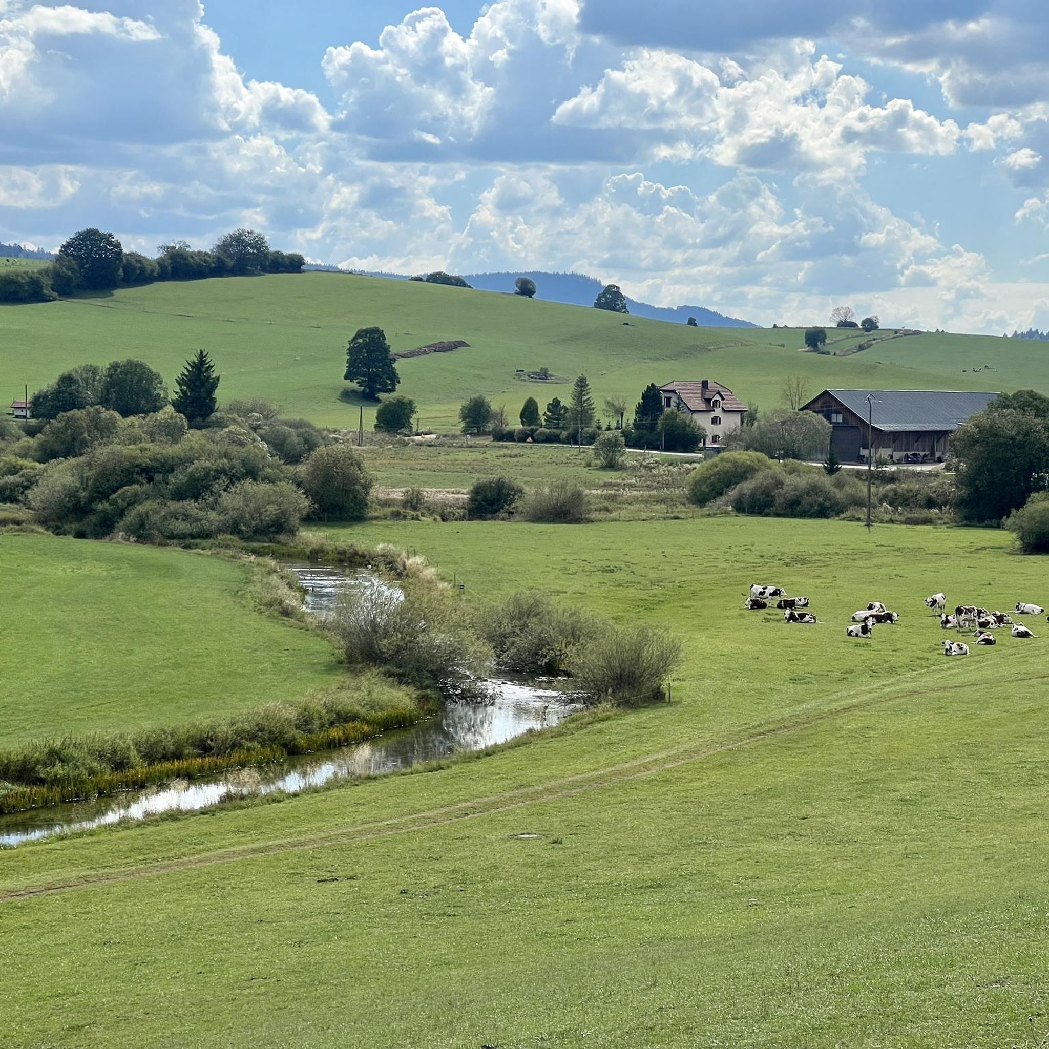
Hiking around Sarrageois offers access to the diverse landscapes of the Haut-Doubs region. Situated above the Doubs valley, the area provides views of the surrounding terrain. It is characterized by dense forests, river valleys, and proximity to the Haut-Jura Regional Natural Park, offering varied elevation and natural features.
Best hiking trails around Sarrageois
- The most popular hiking route is Doubs Bridge – The source of the Doubs loop from Sarrageois, a 6.2 miles (9.9 km) trail that takes 2…
Last updated: October 9, 2026
4.6
(5)
58
hikers
3.68km
00:57
20m
20m
Easy hike. Great for any fitness level. Easily-accessible paths. Suitable for all skill levels.
3.9
(15)
33
hikers
9.93km
02:45
170m
170m
Moderate hike. Good fitness required. Easily-accessible paths. Suitable for all skill levels.

4.8
(5)
29
hikers
10.00km
02:45
160m
160m
Moderate hike. Good fitness required. Easily-accessible paths. Suitable for all skill levels.
5.0
(1)
22
hikers
18.4km
05:12
390m
390m
Hard hike. Very good fitness required. Easily-accessible paths. Suitable for all skill levels.
4.1
(7)
17
hikers
5.79km
01:39
120m
120m
Easy hike. Great for any fitness level. Easily-accessible paths. Suitable for all skill levels.
Get access to more routes and recommendations from other explorers.
Already have an account?
Our route recommendations are based on thousands of hikes, rides, and runs completed by other people on komoot.
Start today with a free account
Your next adventure awaits.

Tips from the Community

Located in the heart of the Haut-Doubs, the Alpage des Granges Raguin is a true base camp for hikers, mountain bikers, touring cyclists, trail runners, and lovers of the great outdoors. Nestled in a preserved environment between high-altitude pastures and Jura forests, the site offers an authentic mountain experience in all seasons. The alpine pasture restaurant welcomes travelers and visitors in a friendly atmosphere, with cuisine that highlights local flavors and regional specialties. Open in winter and summer, and on weekends during the shoulder seasons. The touring accommodations are open all year round and adapt to all desires: • Shared hut, ideal for hikers, mountain bikers, and solo travelers looking for a comfortable and friendly stopover. • Private hut, perfect for couples, families, or small groups seeking more privacy. To facilitate touring, several services are offered: • Breakfast before setting off on the trails. • Evening meal basket to fully enjoy the alpine pasture experience. • Packed lunch to take away for the day's hike or mountain bike ride. Thanks to its prime location near the Mont d’Or routes, the Jura ridges, and the many hiking and mountain biking trails of the Haut-Doubs, the Alpage des Granges Raguin is a particularly popular stop for travelers seeking nature, tranquility, and authenticity. A place to discover both summer and winter to experience the unique thrill of a night in a Jura alpine pasture.
0
0

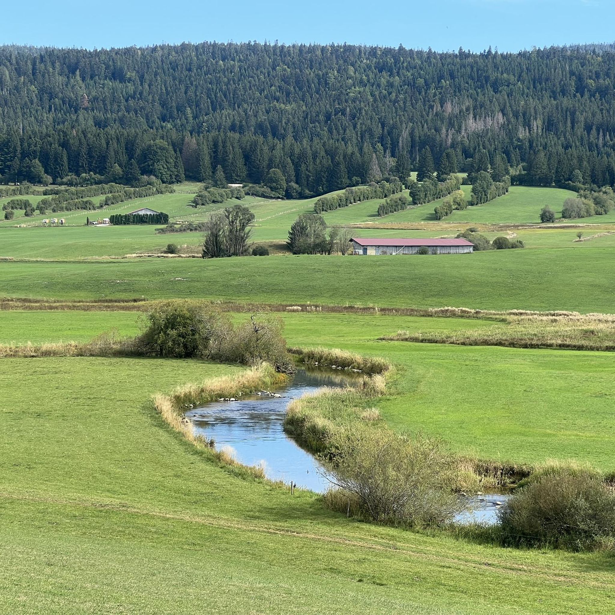
Small bridge in the Doubs source area with a beautiful view of the water.
2
0
Viewpoint above the Doubs source with beautiful views through a forest clearing to Mouthe and the Doubs river.
6
0
The source of the Doubs River is a powerful karst spring in a heavily karstified area of the Jura Mountains. It lies at an altitude of 937 meters at the foot of the forested, up to 1,419-meter-high Mont Risoux mountain range, which straddles the border between France and Switzerland. The Doubs River rises from a small, approximately five-meter-deep spring basin in a cave in the rock.
6
0

We did a 3-day mountain bike trip in this magnificent region, the routes are great 👍
0
0

Granges Raguin is a simple restaurant where you can refuel for very reasonable prices before continuing your walk or bike ride.
0
0
Frequently Asked Questions
How many hiking trails are available around Sarrageois?
There are over 260 hiking routes available around Sarrageois, offering a wide range of options for exploring the Haut-Doubs region. These trails cater to various preferences, from easy strolls to more challenging treks.
What do other hikers say about the trails in Sarrageois?
The hiking trails around Sarrageois are highly regarded by the komoot community, with an average rating of 4.6 stars from over 1300 reviews. Hikers often praise the diverse landscapes, the well-maintained paths, and the scenic beauty of the Doubs Valley.
Are there hiking trails for all skill levels in Sarrageois?
Yes, Sarrageois offers a variety of trails suitable for different skill levels. You'll find approximately 87 easy routes for leisurely walks, 148 moderate trails for those seeking a bit more challenge, and 29 difficult routes for experienced hikers looking for demanding adventures.
Are there many circular hiking routes around Sarrageois?
Many of the trails around Sarrageois are circular, allowing you to start and end your hike in the same location. For example, the Doubs Bridge – The source of the Doubs loop from Sarrageois is a popular moderate circular route that explores the river valley.
Are there family-friendly hiking options near Sarrageois?
Absolutely. For families, there are numerous easy routes, such as the short The source of the Doubs – Doubs Bridge loop from Mouthe, which provides easy access to the source of the Doubs River. Additionally, the nearby Parc Polaire offers an opportunity to observe Nordic animals, which can be a fun family outing combined with a walk.
Can I bring my dog on the hiking trails in Sarrageois?
Many trails in the Sarrageois area and the broader Haut-Jura Regional Natural Park are dog-friendly, provided your dog is kept on a leash, especially in areas with wildlife or livestock. Always check local signage for specific restrictions, particularly within nature reserves.
Are there any hikes that feature waterfalls or significant natural features?
Yes, the region is rich in natural features. The source of the Doubs River is a notable natural landmark accessible via several trails, including the Moutat Peat Bog – The source of the Doubs loop from Mouthe. Within the Haut-Jura Regional Natural Park, you can also explore the scenic waterfalls and gorges of the Langouette.
Which hikes offer the best views or lead to interesting landmarks?
Sarrageois itself offers picturesque views over the Doubs valley. For panoramic vistas, the Pic de l'Aigle within the Haut-Jura Regional Natural Park is renowned for its stunning views of four lakes. You can also find several beautiful lakes nearby, such as Lac de Joux and Lac de Saint-Point, which are great destinations for a hike.
What is the best time of year to go hiking in Sarrageois?
The best time for hiking in Sarrageois is typically from spring through autumn (May to October), when the weather is mild and the trails are clear. Summer offers lush greenery, while autumn brings vibrant fall colors. Some trails may also be suitable for snowshoeing in winter, especially those connecting to cross-country ski tracks.
Are there any long-distance hiking trails accessible from Sarrageois?
Yes, Sarrageois is a gateway to significant long-distance trails. The famous GR 5, part of the European E2 trail, and sections of the Grande Traversée du Jura (GTJ) traverse the region, offering opportunities for multi-day adventures for experienced hikers.
What kind of terrain can I expect on the trails around Sarrageois?
The terrain around Sarrageois is diverse, characterized by dense forests, river valleys, and varying elevations. You'll encounter a mix of woodland paths, riverside trails, and ascents offering views over the Doubs valley and into the Haut-Jura Regional Natural Park.
Are there any nearby attractions to explore besides hiking?
Beyond hiking, the region offers other outdoor activities like cycling and mountain biking. You can also visit the nearby village of Chaux-Neuve, known for its ski jump stadium. For natural attractions, consider visiting Dent de Vaulion or Mont Tendre Summit for more stunning views.
Most popular routes around Sarrageois
Most popular attractions around Sarrageois

Get inspired with the komoot mobile app


Explore more
Browse the best Hikes in other regions.
